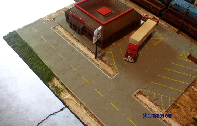
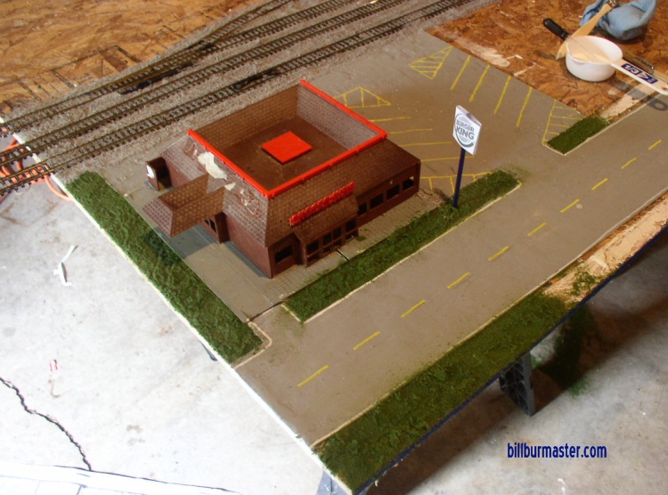
 | Looking along IL 514 and the Burger King lot after it was poured. (June, 2009) |
 | Looking along IL 514 and the Burger King lot after it was poured, and with the buildings in place. (June, 2009) |
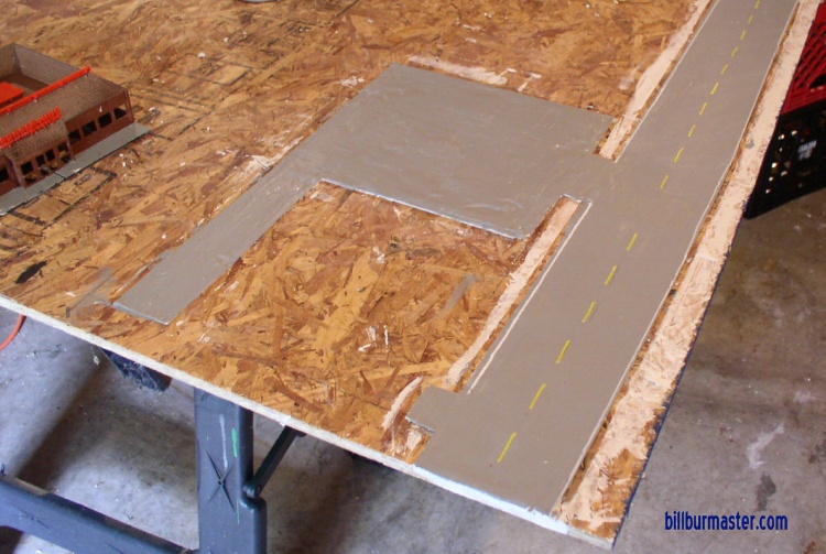
 | Looking at the intersection of IL 514 and Dodge County K27. (June, 2009) |
 | Looking at the intersection of IL 514 and Dodge County K27. This is just after the section of Dodge County K27 was poured from IL 514 to the LFTA Metro right-of-way. (June, 2009) |
 | The finished Burger King parking lot and drive-thru lane. (June, 2009) |
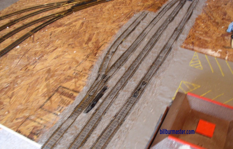
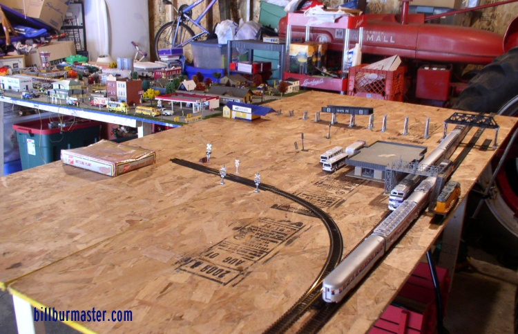
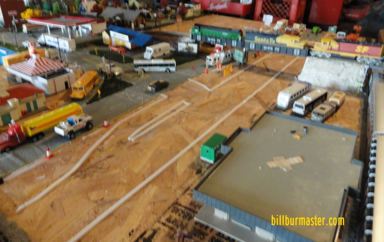
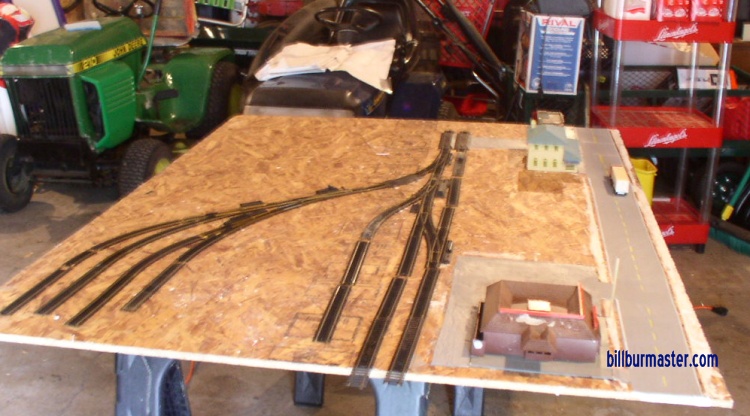 | Looking at the proposed Liberty Falls Switching Yard, and LFTA Metro main lines. (June, 2009) |
 | Another look at the Liberty Falls Switching Yard, and LFTA Metro main lines. (June, 2009) |
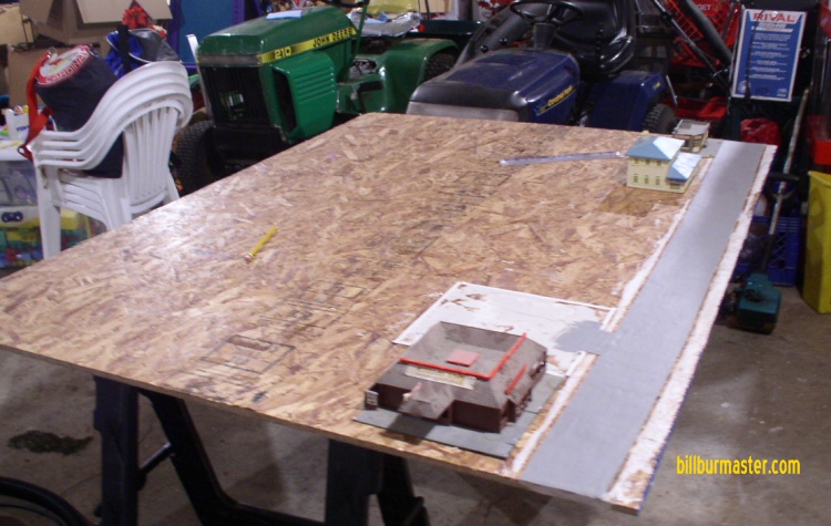
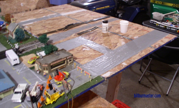
 | Looking at the shopping plaza on the corner of IL 514 and Dodge County K27 as the parking lot is being marked out. (June, 2009) |
 | Looking at the shopping plaza on the corner of IL 514 and Dodge County K27 after the parking lot was laid. (June, 2009) |
 | Looking at the grass being planted at the corner of IL 514 and Dodge County K27. (June, 2009) |
 | Looking at the grass being planted at the Burger King. (June, 2009) |
 | Looking at the grass being planted at the Burger King. (June, 2009) |
 | Looking north along Dodge County K27 just north of IL 514. (June, 2009) |
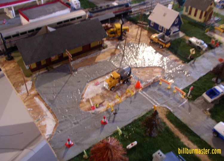
 | Looking at the rock being laid along the rail lines. (June, 2009) |
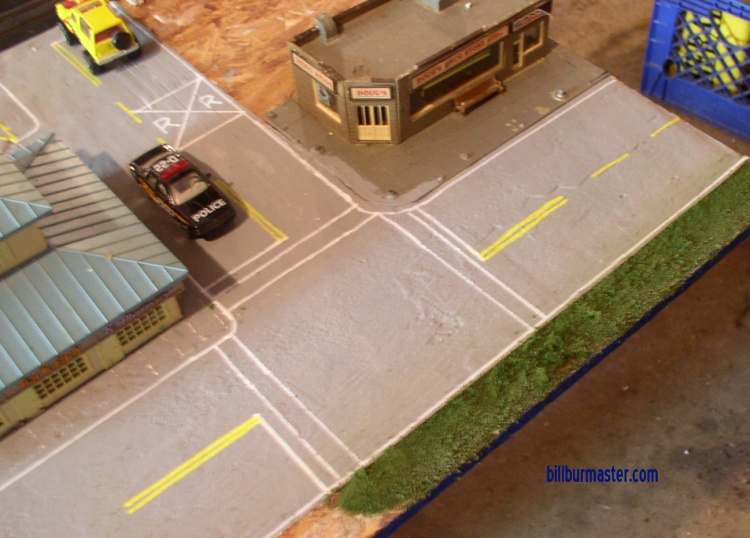
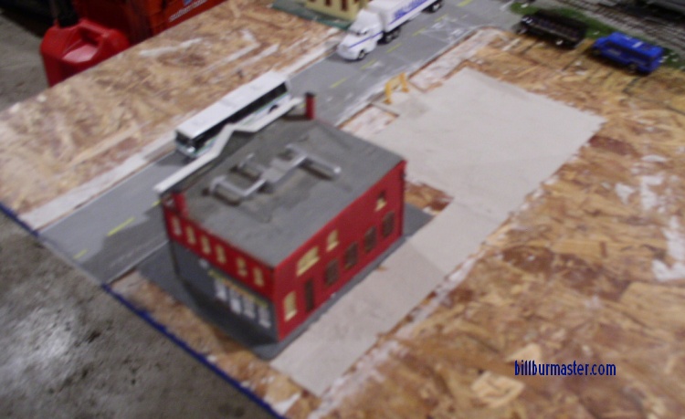
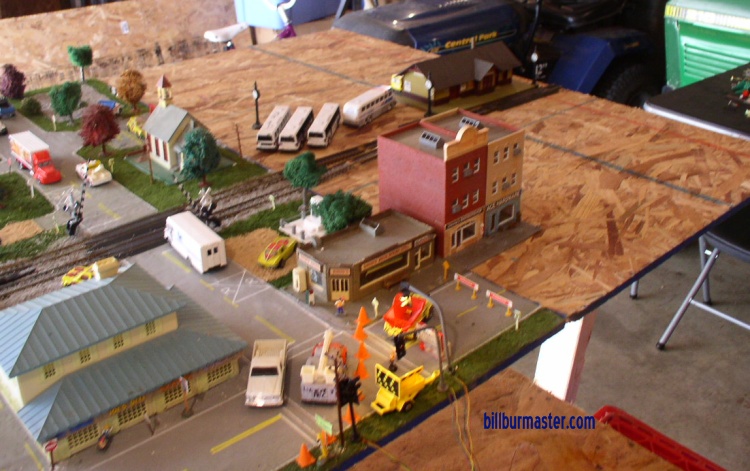
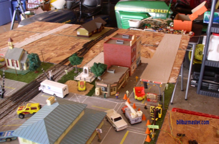
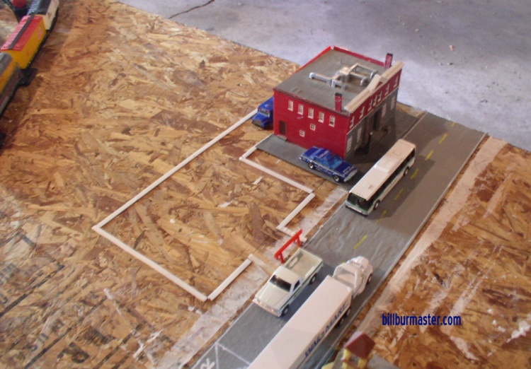 | Looking at the police building along Dodge County K27. (June, 2009) |
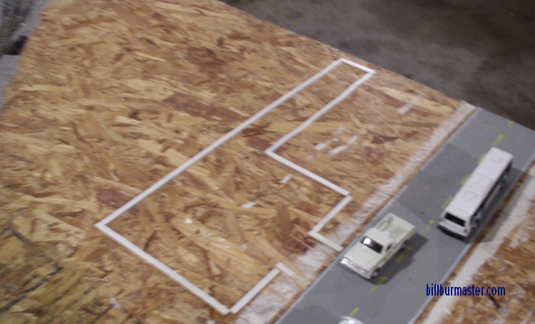 | Looking at the police parking lot. (August, 2009) |
 | Looking at the police parking lot after it was poured. (August, 2009) |
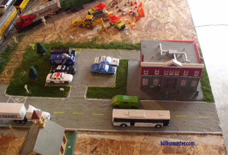 | Looking at the police building after the lot was poured and the grass laid. (August, 2009) |
 | Looking at the Citibank parking lot prior to it being poured. (August, 2009) |
 | Looking at the Citibank parking lot after it was poured. (August, 2009) |
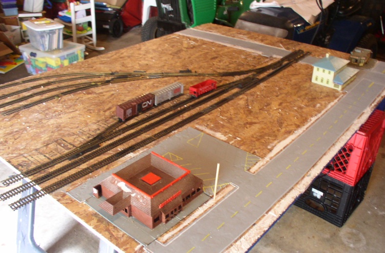
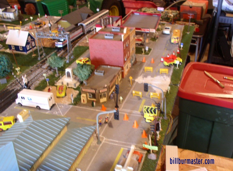
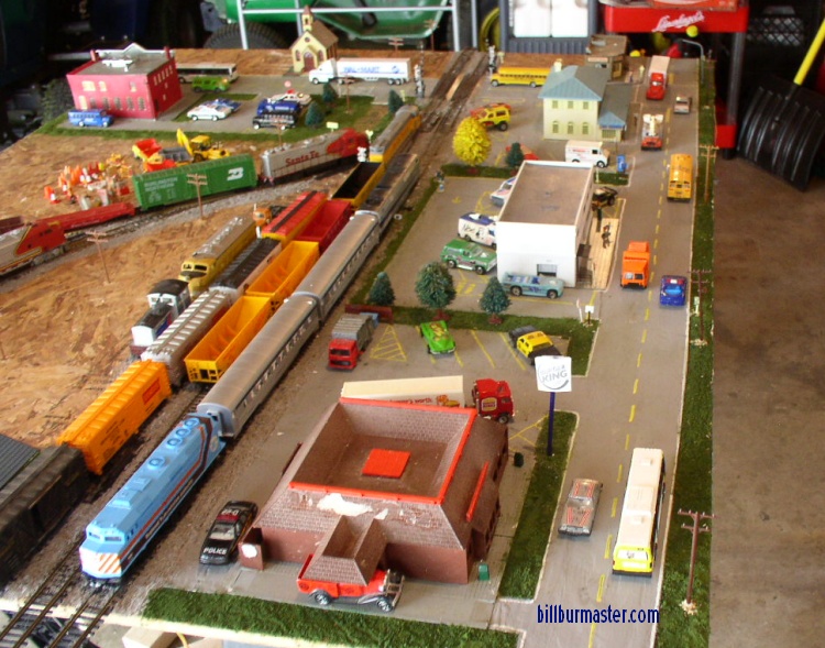 | Looking along IL 514 after all the lots were filled. (August, 2009) |
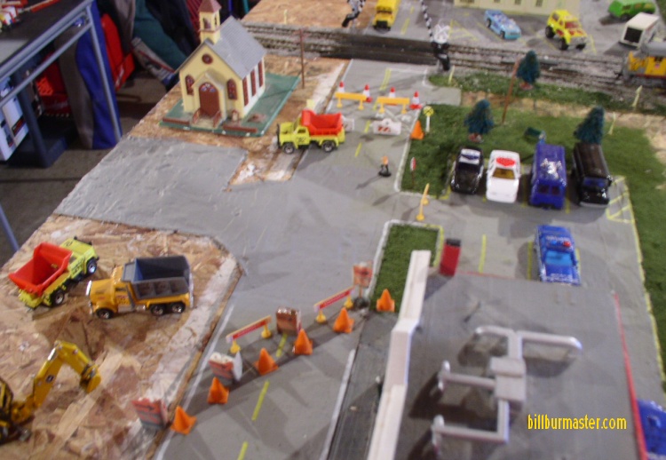 | Looking at the church parking lot. (August, 2009) |
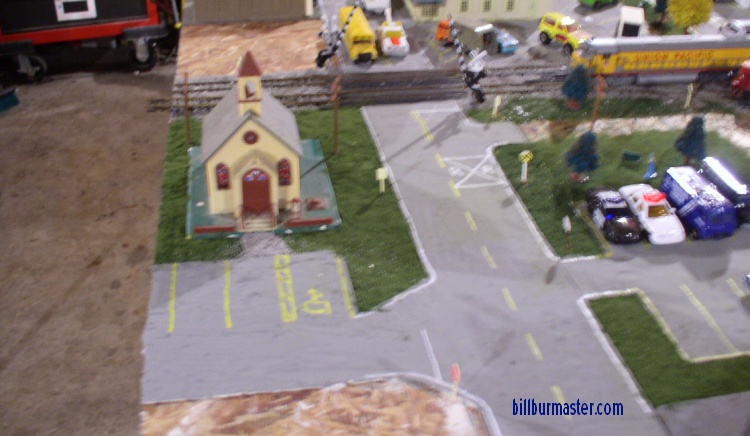 | Looking at the church lot after the grass was laid a parking spaces were finished. (August, 2009) |
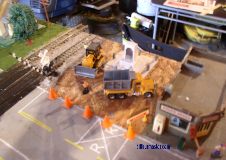 | Looking at the veterans memorial being built. (August, 2009) |
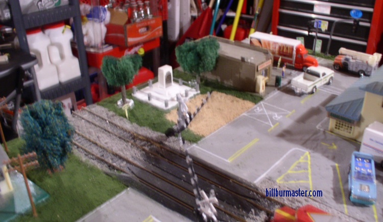 | Looking at the veterans memorial after the lot is finished. (August, 2009) |
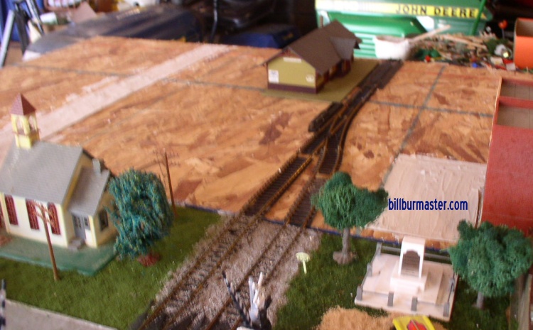
 | Looking at the cemetery being built. (August, 2009) |
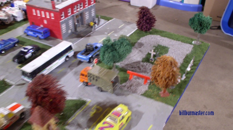 | Looking at the cemetery as the graves are being placed. (August, 2009) |
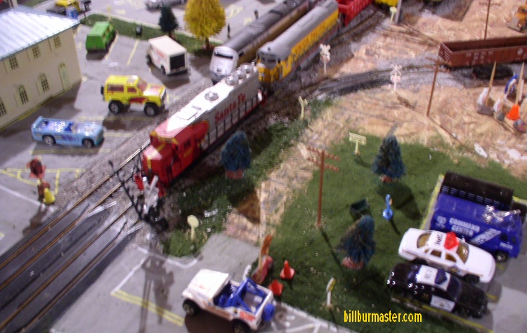 | Looking at the lane that leads in to the Liberty Falls Rail Switch Yard. A joint venture between BNSF/UP/LFTA. (August, 2009) |
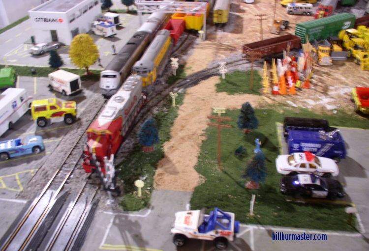 | Looking at the lane into the rail yard after the finished road was set. (August, 2009) |
 | Looking at the work area prior to the highway being extended. (August, 2009) |
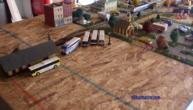 | Looking at the future rail/bus depot. (August, 2009) |
 | Looking at the striping for the highway extention. (August, 2009) |
 | Looking at the near highway. (August, 2009) |
 | Looking at the rail extention. (August, 2009) |
 | Looking at the new road and rail bed. (August, 2009) |
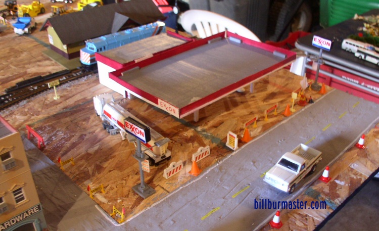 | Looking at the new Exxon, before the lot was poured. (March, 2010) |
 | Looking at the new Exxon, after the lot war poured. (March, 2010) |
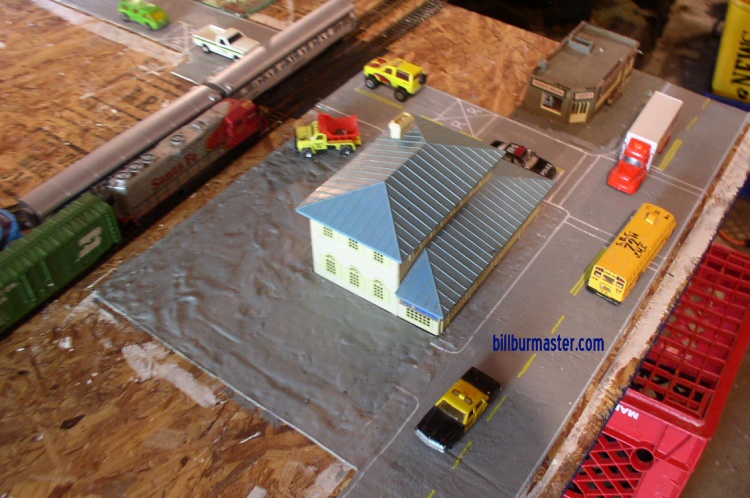
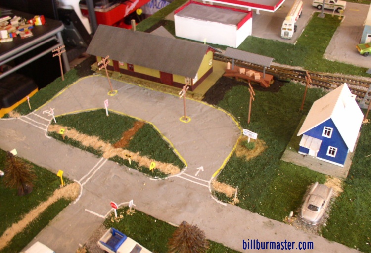
 | Looking at the new Clarksville Depot being finished. This is an LFTA-MetroRail/LFTA-MetroBus/Amtrak Local stop. (June, 2010) |
 | Looking at the lot for the new Clarksville Depot being finished. This is an LFTA-MetroRail/LFTA-MetroBus/Amtrak Local stop. (June, 2010) |
 | Looking at the new Clarksville Depot finished. This is an LFTA-MetroRail/LFTA-MetroBus/Amtrak Local stop. (July, 2010) |
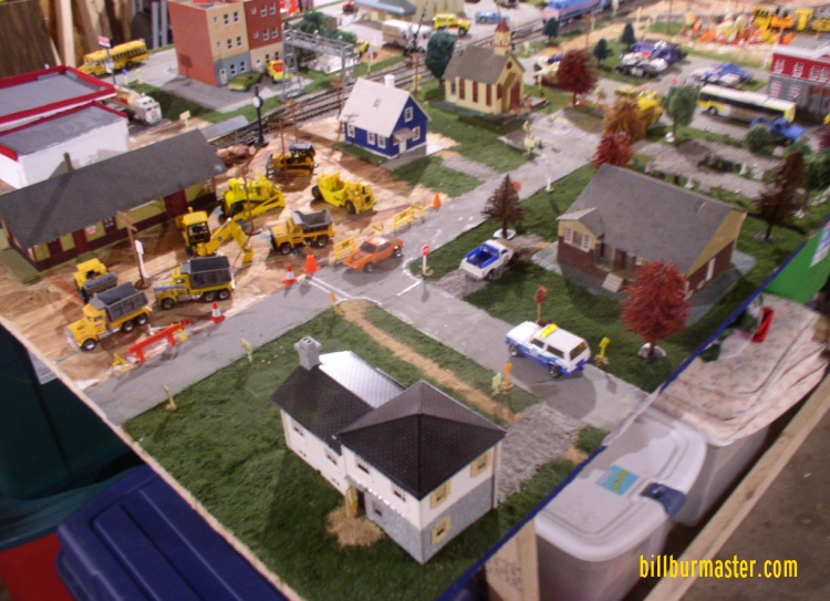
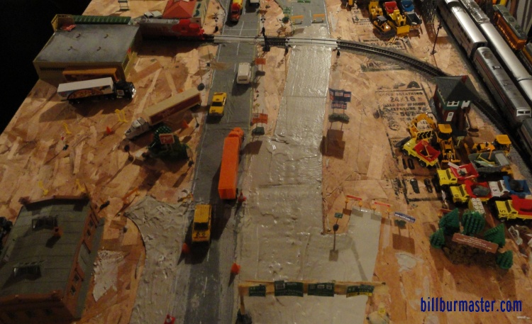
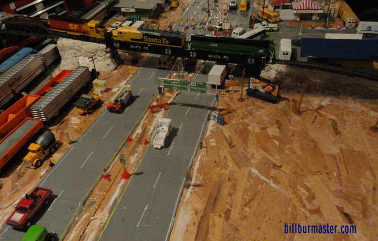
 | Looking along IL 514 at some highway repair. (June, 2010) |
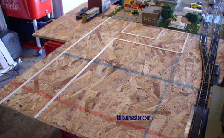
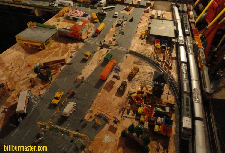
 | Looking at the new section of the layout. (September, 2010) |
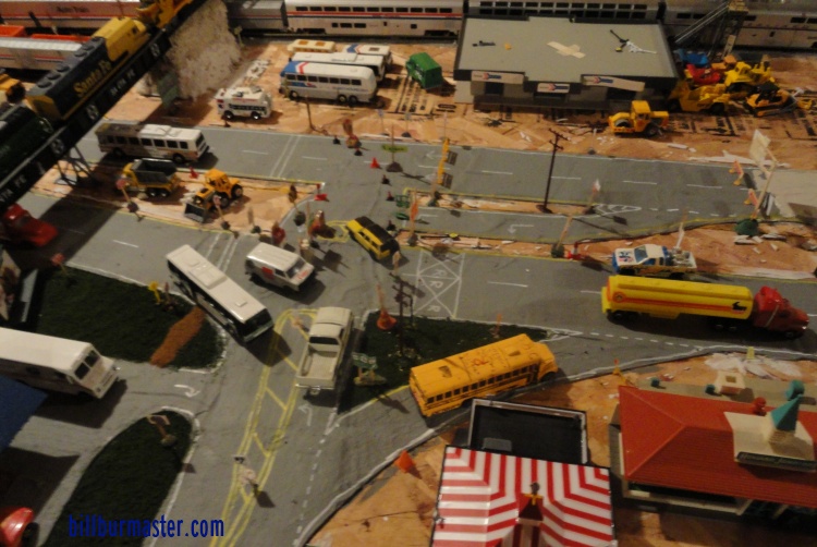
 | Looking along the lanes of NB U.S. 54/IL 14; EB U.S. 156 as they are being built. (November, 2010) |
 | Looking at the corner of NB U.S. 54/IL 14; EB U.S. 156 and IL 514 as it is being built. (November, 2010) |
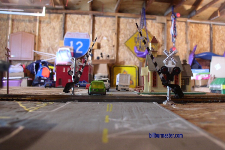
 | Looking at the BNSF industry spur grade crossing with NB U.S. 54/IL 14; EB U.S. 156. (November, 2010) |
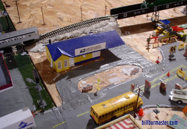 | Looking at the post office prior to the sod being placed. (November, 2010) |
 | Looking at the pour markings for the WB/SB lanes at IL 514. (April, 2011) |
 | Looking at the WB/SB lanes at IL 514 after the lanes have been poured. (April, 2011) |
 | Looking at the point where WB/SB traffic returns to their lanes. (April, 2011) |
 | Looking at Exit 15 when the lanes were poured. (April, 2011) |
 | Looking at Exit 15 after the WB/SB lanes were opened. (April, 2011) |
 | Looking at Exit 16 where the WB/SB traffic cross over to their lanes. (April, 2011) |
 | Looking along EB/NB lanes near Exit 16. (April, 2011) |