Interstate 55 Logan/Mc Lean County Line to Livingston/Grundy County Line
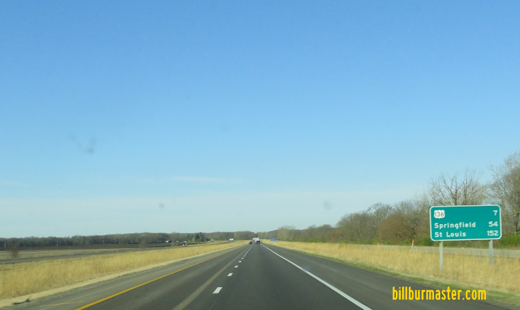
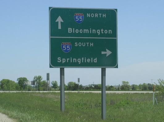
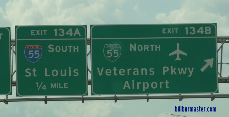
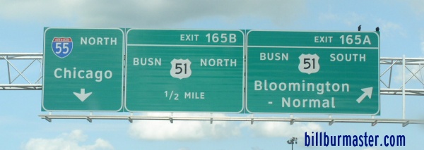
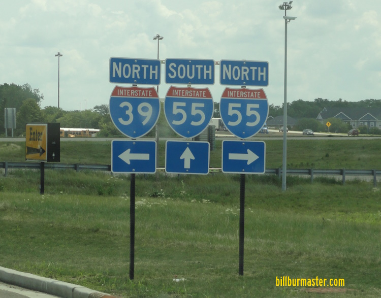
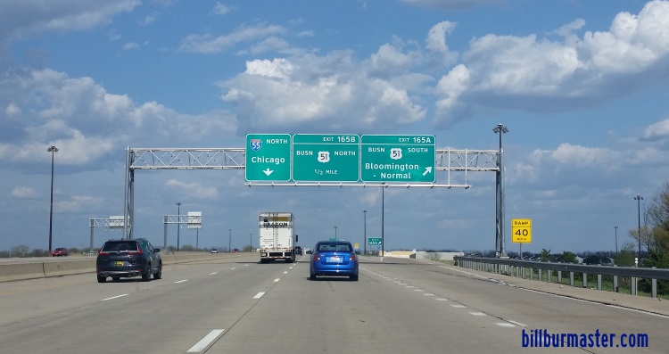
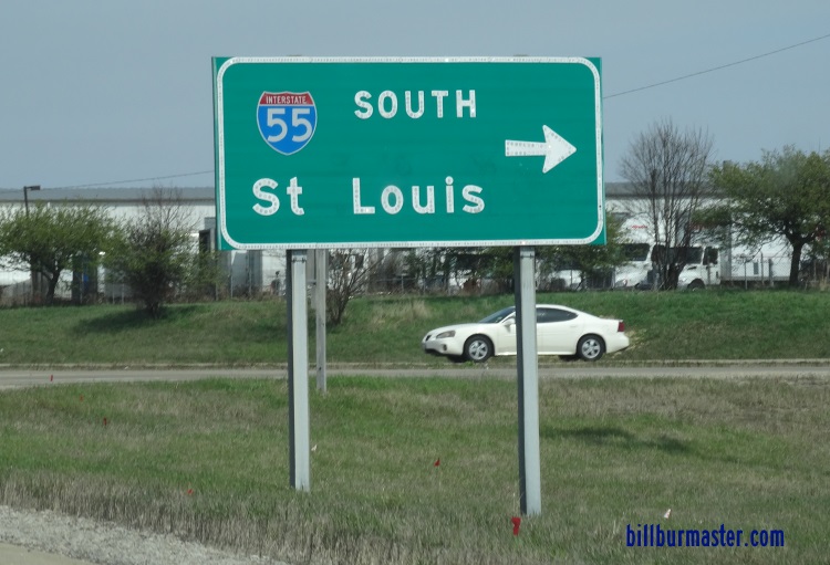
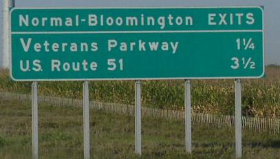
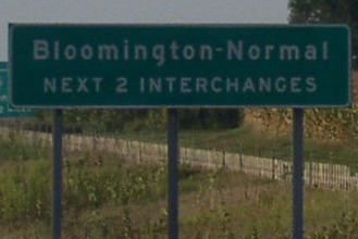
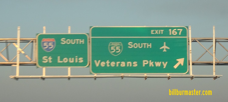
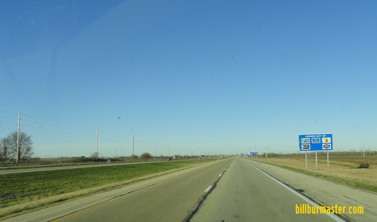
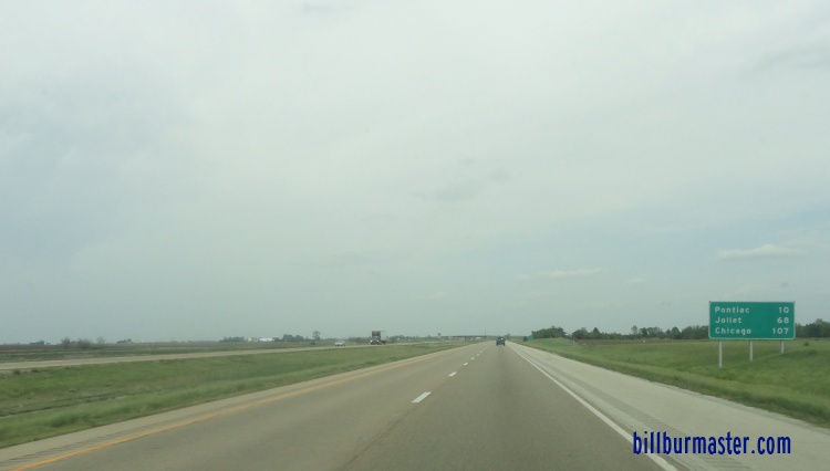
NB I-55 at the Logan/Mc Lean County Line. SB I-55 at Mc Lean. NB I-55 near Funks Grove. SB I-55 south of the Shirley exit. (July, 2014) SB I-55 south of the Shirley ext. (April, 2024) A BGS at the Shirley exit. NB I-55 north of the Shirley exit. A BGS on WB I-74/NB U.S. Rt. 51. A BGS on WB I-74/NB U.S. Rt. 51. A BGS on WB I-74/NB U.S. Rt. 51. A BGS on WB I-74/NB U.S. Rt. 51. A junction marker on SB BUSN Loop I-55. Looking south at the interchange with I-55/74; BUSN Loop I-55 in Bloomington. Left-to-Right: (2-lanes)WB I-74/NB U.S. Rt. 51; (2-lanes)NB I-55; (2-lanes)EB I-74/SB U.S. Rt. 51; (2-lanes)SB I-55. Photo taken from Fox Creek Road overpass. A mile marker on NB I-55 in Bloomington. (May, 2006) A look down NB I-55/WB I-74/NB U.S. Rt. 51 on the westside of Bloomington. WB I-74/NB I-55/NB U.S. Rt. 51 heading north on the westside of Bloomington. SB I-55/U.S. Rt. 51; EB I-74 near Oakland Ave. in Bloomington. SB I-55/U.S. Rt. 51; EB I-74 south of Market Street (IL St. Rt. 9/U.S. Rt. 150) in Bloomington. NB I-55/U.S. Rt. 51; WB I-74 at U.S. Rt. 150/IL St Rt 9. A junction marker on WB U.S. Rt. 150/IL St Rt 9. A junction marker on EB U.S. Rt. 150/IL St Rt 9. A BGS on EB U.S. Rt. 150/IL St Rt 9. A BGS on EB U.S. Rt. 150/IL St Rt 9. A BGS on WB U.S. Rt. 150/IL St Rt 9. A BGS on EB U.S. Rt. 150/IL St Rt 9. NB I-55/U.S. Rt. 51; WB I-74 north of U.S. Rt. 150/IL St Rt 9. A BGS on NB I-55. SB I-55 at I-39/U.S. Rt. 51. A BGS on SB I-39/U.S. Rt. 51. (July, 2024) A set of guide markers in Normal. NB I-55 at BUSN U.S. Rt. 51 in Normal. A BGS on SB BUSN U.S. Rt. 51. A BGS on NB BUSN U.S. Rt. 51. NB I-55 at Normal. Photo taken east of the BUSN U.S. Rt. 51 exit. SB I-55 at BUSN Loop I-55. SB I-55 at SB BUSN Loop I-55 on the northeast side of Normal. This was replaced in November, 2003 with a new alignment. SB I-55 at BUSN Loop I-55 at Normal. This opened November, 2003. NB I-55 at the same interchange as the above picture. A BGS on NB BUSN Loop I-55. A BGS on NB BUSN Loop I-55. A BGS on NB BUSN Loop I-55. A BGS for Normal exits. First BGS for the Bloomington-Normal Metro. SB I-55 at Veterans Parkway in Normal. (April, 2024) SB I-55 at Veterans Parkway in Normal. (March, 2025) A BGS on SB I-55. A BGS on SB I-55. SB I-55 south of Towanda. NB I-55 near Towanda. SB I-55 near a message board northeast of the Bloomington-Normal Metro. NB I-55 between Towanda and Lexington. A BGS at the Lexington exit. SB I-55 near Lexington. SB I-55 south of U.S. Rt. 24. A junction marker on EB U.S. Rt. 24. A guide marker on EB U.S. Rt. 24. NB I-55 north of U.S. Rt. 24. SB I-55 at the Livingston/Mc Lean County Line. NB I-55 at the Livingston/Mc Lean County Line. SB I-55 near Chenoa. SB I-55 south of IL St Rt 116. A BGS on WB IL St Rt 116. A guide marker in Pontiac. A guide marker on NB IL St Rt 23. SB I-55 near IL St Rt 116 at Pontiac. A sign honoring a fallen Pontiac Police Officer. SB I-55 at IL St Rt 23 near Pontiac. A guide marker on SB I-55. SB I-55 near Pontiac. SB I-55 south of Odell. SB I-55 near Odell. NB I-55 north of Odell. SB I-55 south of IL St Rt 17. SB I-55 south of IL St Rt 17. (July, 2014) A guide marker on SB U.S. Rt. 66 in Dwight. SB I-55 at the Grundy/Livingston County Line near Dwight.