Interstate 55 Illinois/Missouri State Line to Montgomery/Sangamon County Line
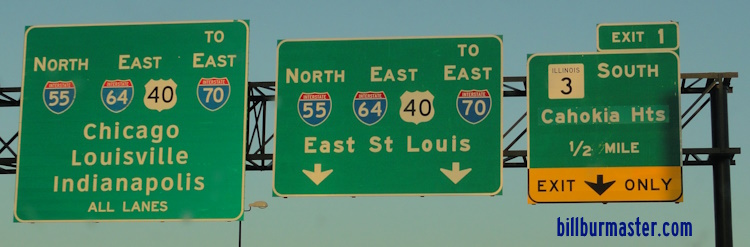
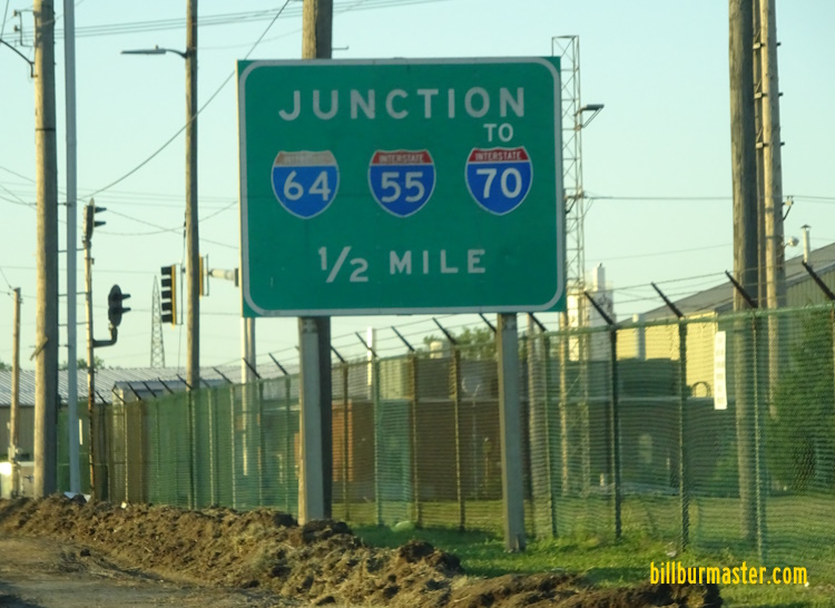
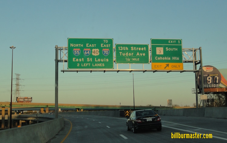
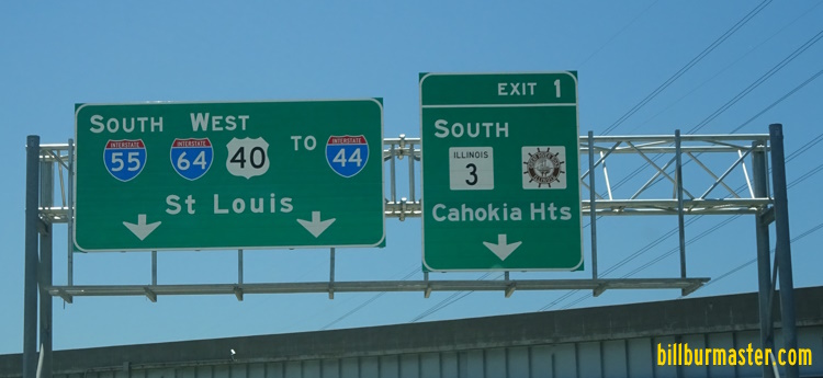
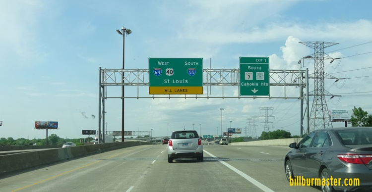
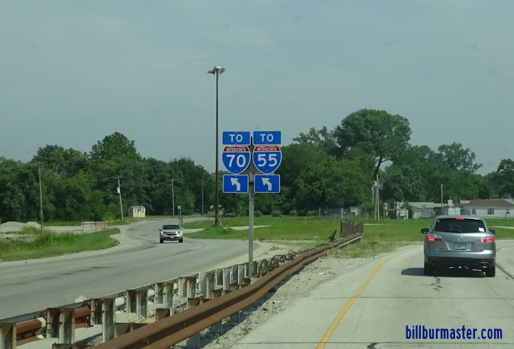
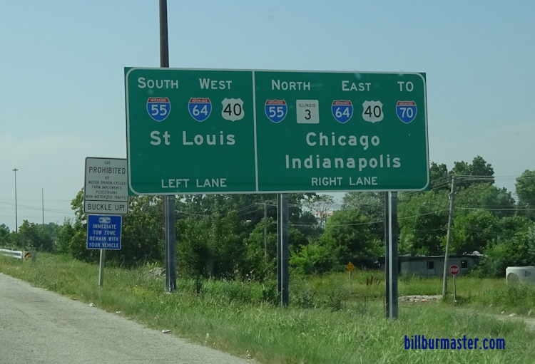
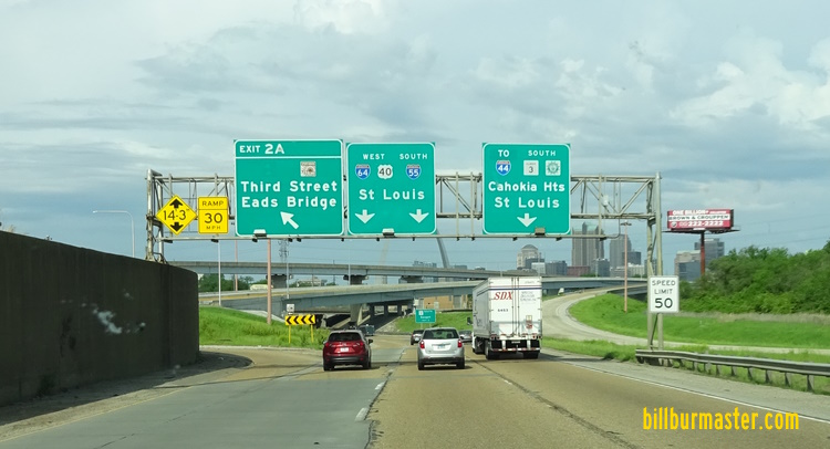
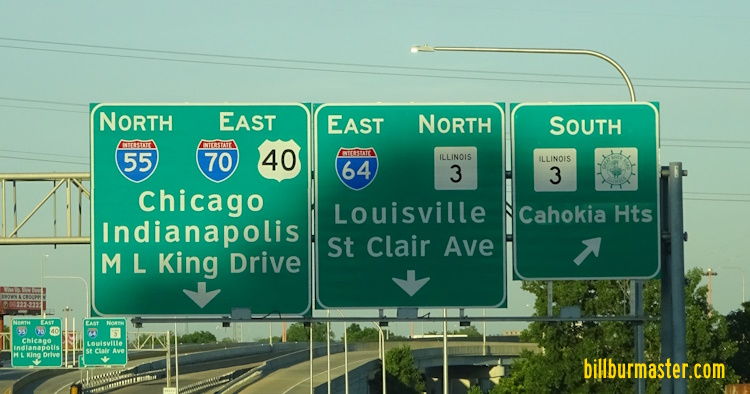
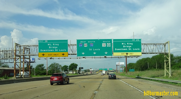
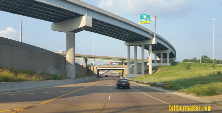
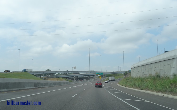
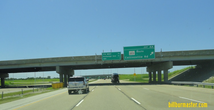
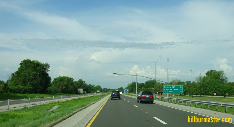
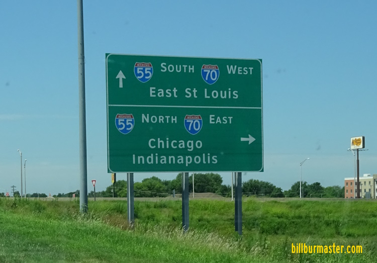
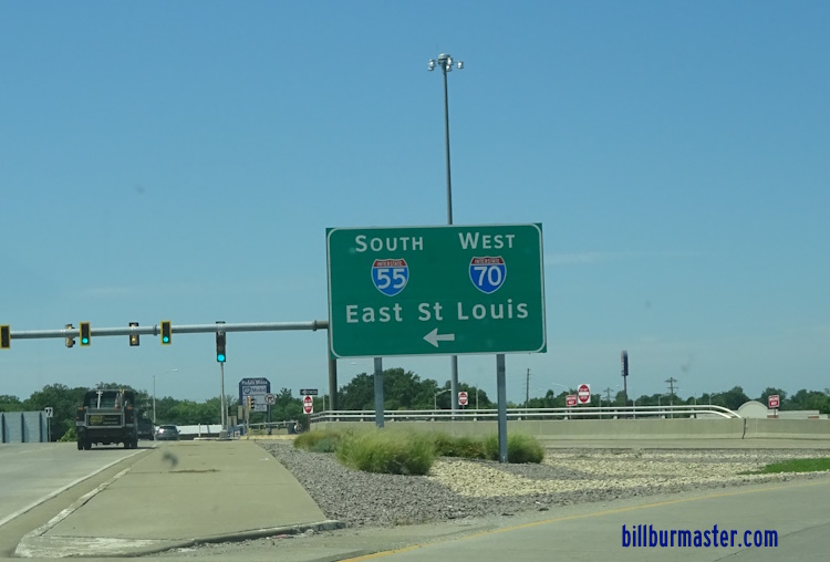
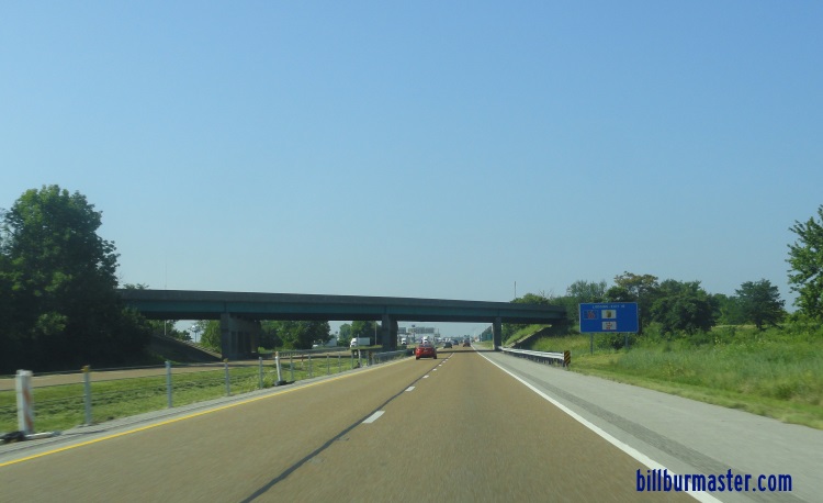
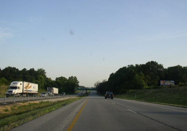
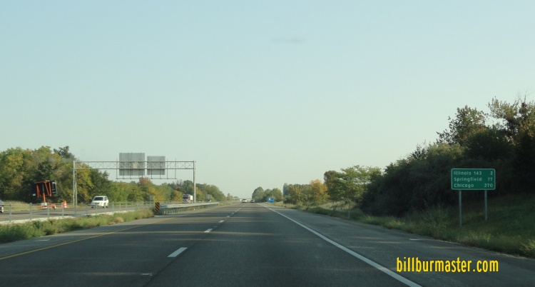
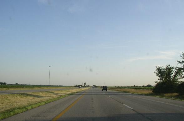
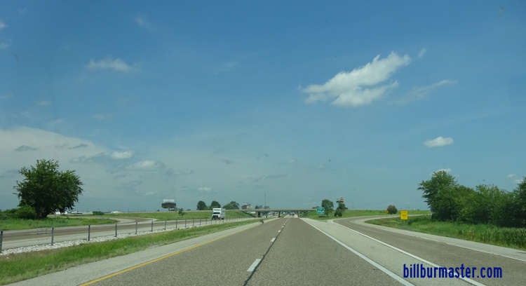
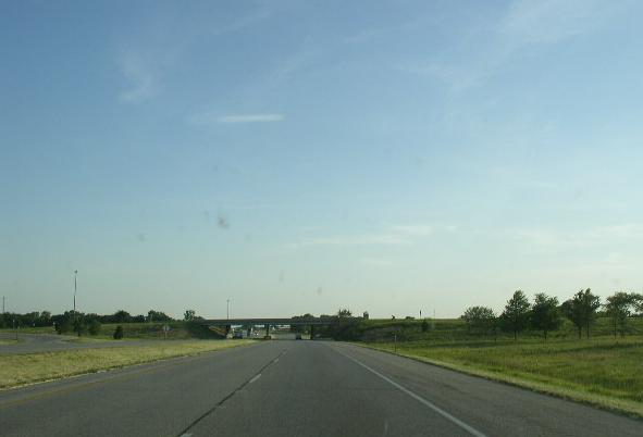
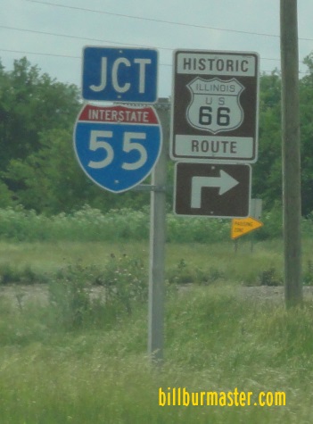
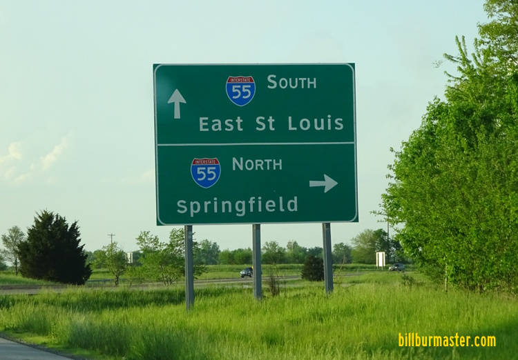
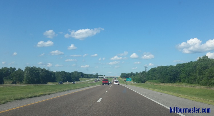
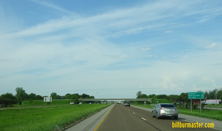
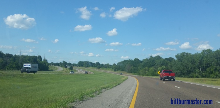
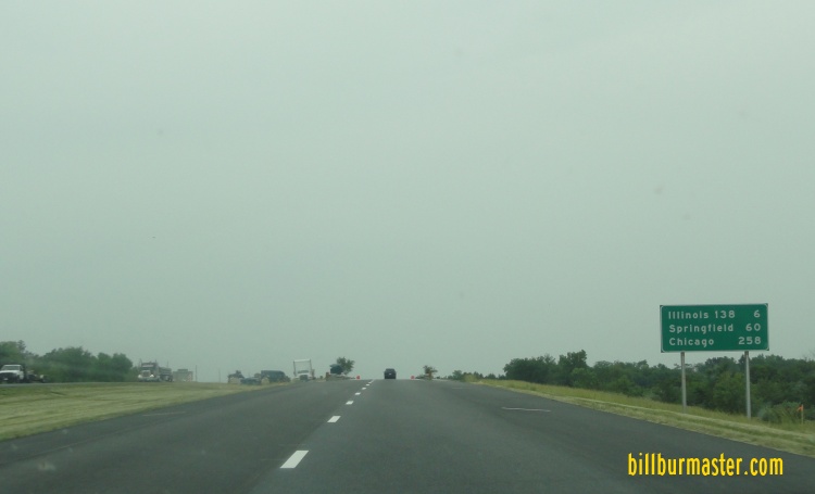
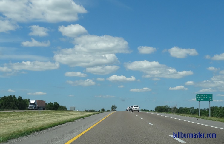
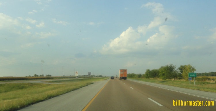
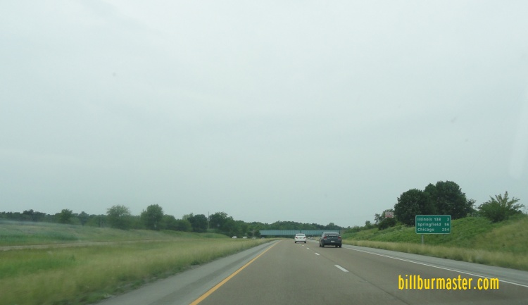
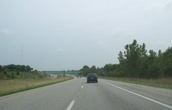
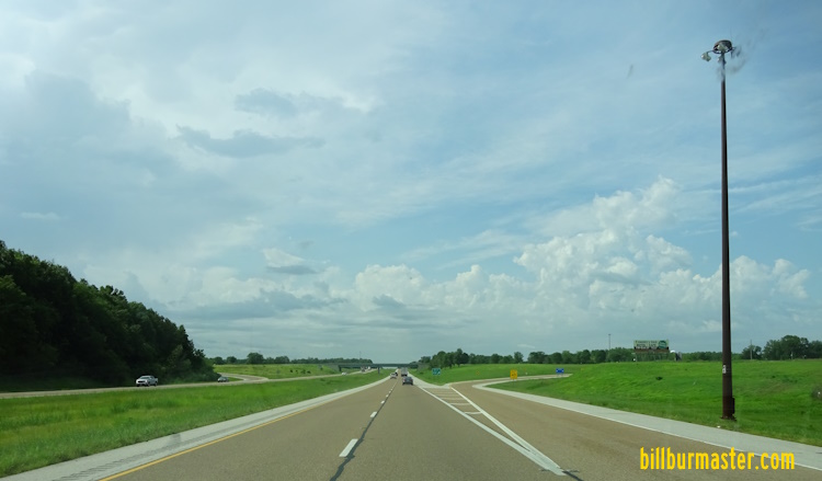
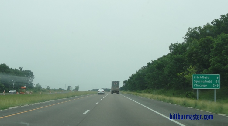
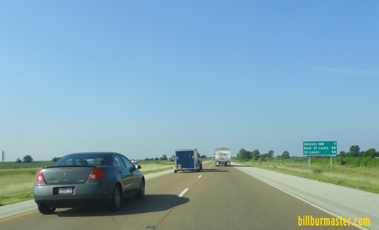
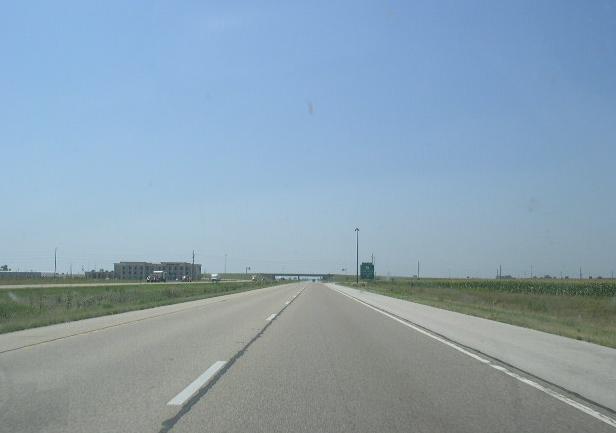
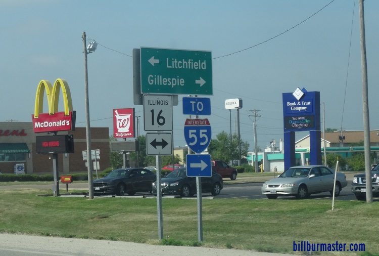
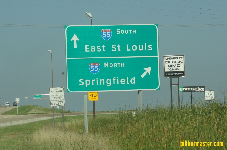
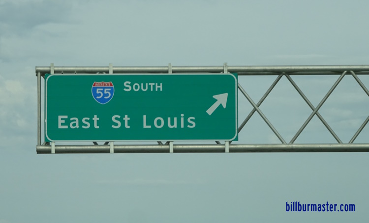
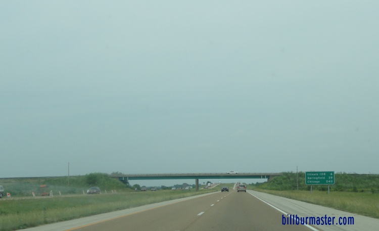
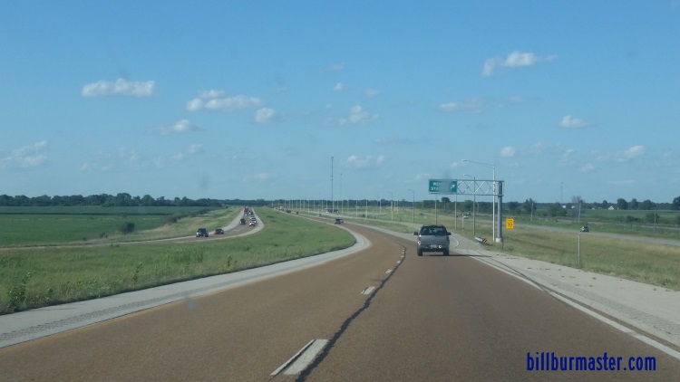
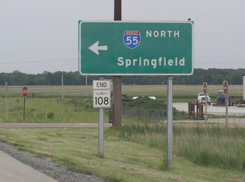
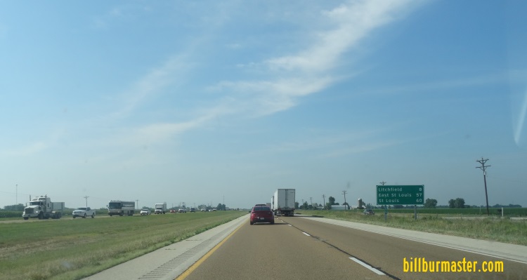
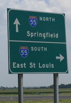
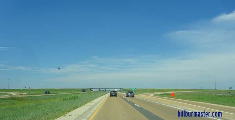
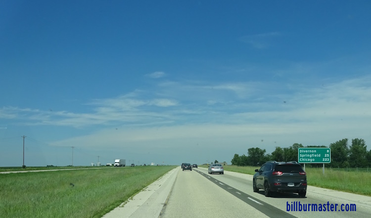
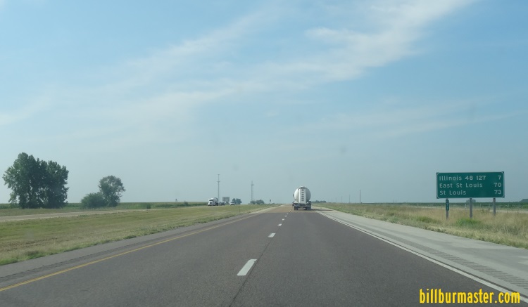
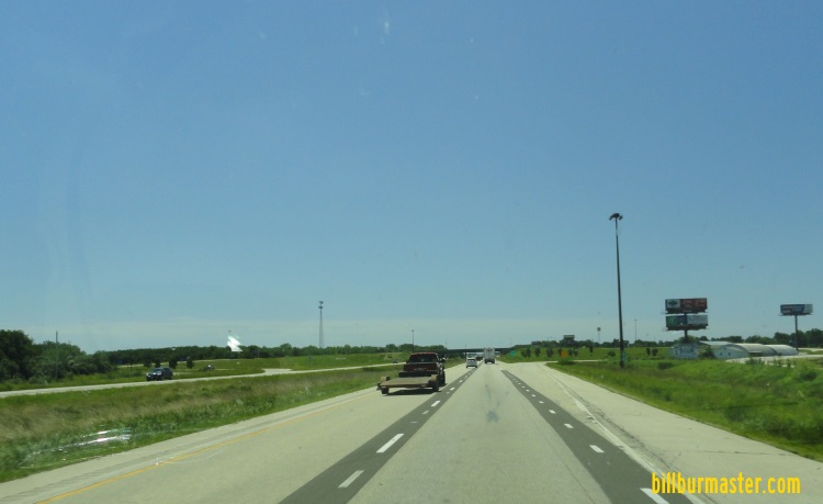
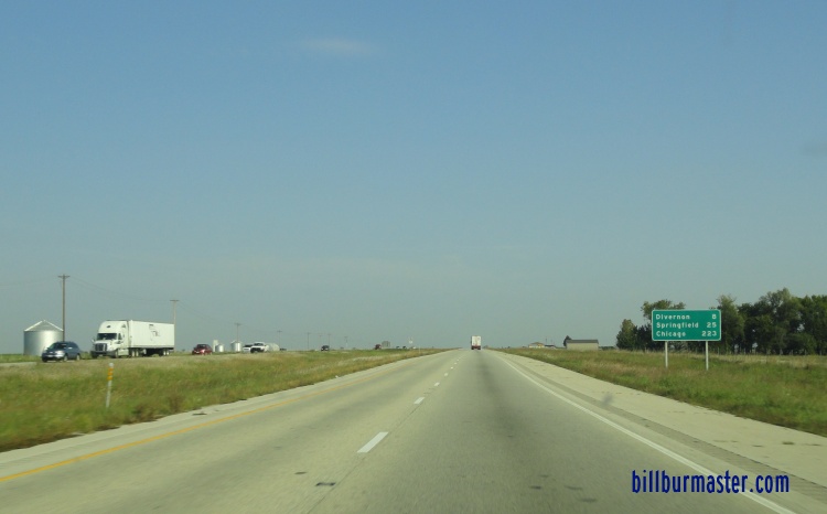
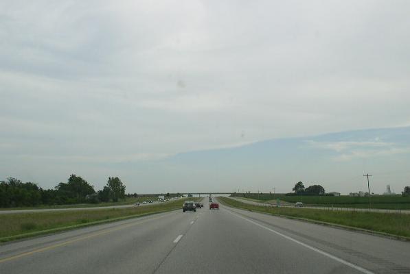
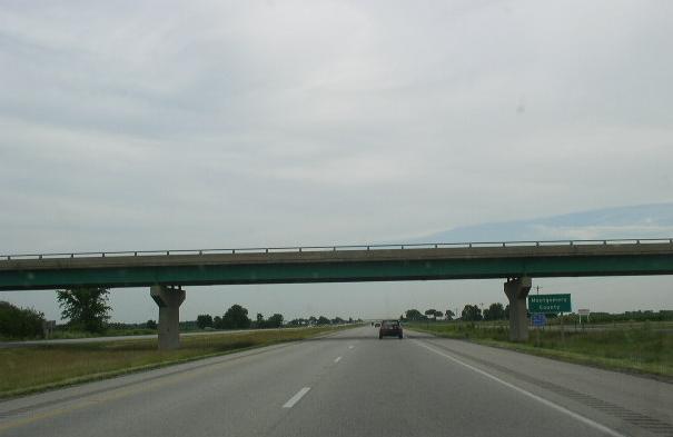
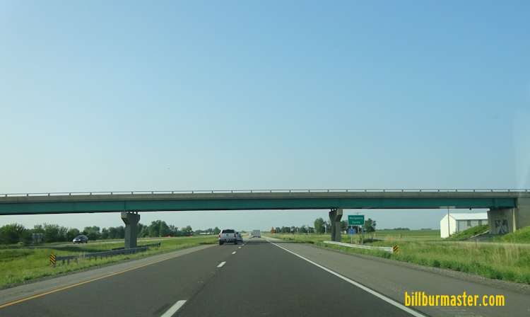
NB I-55; EB I-64/70; U.S. Rt. 40 at the Illinois/Missouri State Line. NB I-55; EB I-64/U.S. Rt. 40 at the Illinois/Missouri State Line. Overhead signage just over the Illinois State Line at the Poplar Street Bridge, St. Louis, MO. A BGS on NB I-55; EB I-64/U.S. Rt. 40. SB I-55; WB I-64/70-U.S. Rt. 40 as seen from the Union Pacific railroad overpass in the photo above. A guide marker on NB IL St Rt 3. A junction marker on NB IL St Rt 3. A junction marker on NB IL St Rt 3. A set of BGS's on NB IL St Rt 3. NB I-55; EB I-64/U.S. Rt. 40 at south IL St Rt 3. SB I-55; WB I-64/U.S. Rt. 40 at IL St Rt 3. A BGS on SB I-55/IL St Rt 3; WB I-64/U.S. Rt. 40. SB I-55; WB I-64/U.S. Rt. 40 at south IL St Rt 3. NB I-55/IL St Rt 3; EB I-64/U.S. Rt. 40 at Tudor. Loking north along I-55/64/70; U.S. 40; IL in East St. Louis. Photo from SB I-55/IL St Rt 3; WB I-64/U.S. 40 to Tudor Ave. A guide marker on Tudor Ave. A BGS on Tudor Ave. NB I-55/IL St Rt 3; EB I-64/U.S. Rt. 40 at the Illinois Welcome Sign. (September, 2007) A set of guide markers in East St. Louis. A guide marker in East St. Louis. A BGS on SB I-55/IL St Rt 3; WB I-64/U.S. Rt. 40. A BGS on SB I-55/IL St Rt 3; WB I-64/U.S. Rt. 40. SB I-55/IL St Rt 3; WB I-64/U.S. Rt. 40 at 3rd Street in East St. Louis. SB I-55/IL St Rt 3; WB I-64/U.S. Rt. 40 at the King Bridge exit. SB I-55/IL St Rt 3; WB I-64/U.S. Rt. 40 at the King Bridge exit. A BGS in East St. Louis. A BGS on the MLK Bridge. SB I-55/IL St Rt 3; WB I-64/U.S. Rt. 40 south of I-70 in East St. Louis. WB I-64/U.S. Rt. 40; SB I-55; IL St Rt 3 south of I-70 in East St. Louis. A set of guide markers on SB IL St Rt 3. A BGS on NB IL St Rt 3. NB I-55/EB U.S. Rt. 40 at I-64/70. SB I-55/WB U.S. Rt. 40 at the I-64/70 interchange in East St. Louis. Looking south at I-55/70; U.S. Rt. 40 from Exchange Ave. in East St. Louis. A BGS on NB I-55; EB I-70/U.S. Rt. 40. NB I-55/EB I-70 near IL St Rt 203. A guide marker on a ramp from SB IL St Rt 203. SB I-55; WB I-70/U.S. Rt. 40 at IL St Rt 203. SB I-55; WB I-70/U.S. Rt. 40 at IL St Rt 203. A mile marker near East St. Louis. NB I-55; EB I-70/U.S. Rt. 40 north of IL St Rt 203. A junction marker on NB IL St Rt 111. A BGS on SB IL St Rt 111. NB I-55; EB I-70/U.S. Rt. 40 north of IL St Rt 111. NB I-55; EB I-70/U.S. Rt. 40 at the Madison/St. Clair County Line. SB I-55; WB I-70/U.S. Rt. 40 at the Madison/St. Clair County Line. SB I-55; WB I-70/U.S. Rt. 40 west of I-255. A guide marker on EB IL St Rt 162. A interesting bridge support on NB I-55; EB I-70/U.S. Rt. 40. NB I-55; EB I-70/U.S. Rt. 40 near Fairmont City. A BGS on SB I-255. A BGS on SB I-255. A BGS on SB I-255. A BGS on NB I-255. NB I-55; EB I-70/U.S. Rt. 40 at I-255. A set of BGS's on NB I-55; EB I-70/U.S. Rt. 40. A BGS on NB IL St Rt 157. NB I-55; EB I-70/U.S. Rt. 40 at IL St Rt 157. > A junction marker on SB IL St Rt 157. NB I-55; EB I-70/U.S. Rt. 40 north of IL St Rt 157. NB I-55; EB I-70/U.S. Rt. 40 north of IL St Rt 157. SB I-55; WB I-70/U.S. Rt. 40 west of IL St Rt 159. NB I-55; EB I-70/U.S. Rt. 40 at IL St Rt 159. A junction marker on SB IL St Rt 159. SB I-55; WB I-70/U.S. Rt. 40 at IL St Rt 159. NB I-55; EB I-70/U.S. Rt. 40 east of IL St Rt 159. NB I-55; EB I-70/U.S. Rt. 40 west of east U.S. Rt. 40. A BGS on NB I-55; EB I-70/U.S. Rt. 40. NB I-55/EB I-70 at U.S. Rt. 40. SB I-55/WB I-70 near U.S. Rt. 40 south of IL St Rt 162. A BGS on SB I-55/WB I-70. NB I-55/EB I-70 south of IL St Rt 162. NB I-55/EB I-70 at IL St Rt 162. A junction marker on WB IL St Rt 162. A BGS on WB IL St Rt 162. A BGS on WB IL St Rt 162. A BGS on WB IL St Rt 162. NB I-55/EB I-70 at IL St Rt 162. SB I-55/WB I-70 at IL St Rt 162. SB I-55/WB I-70 near Troy. A BGS on EB I-270. SB I-55 at I-70/270. SB I-55 near Kuhn. NB I-55 north of I-70/270. SB I-55 near Hamel. NB I-55 at IL St Rt 140. SB I-55 at IL St Rt 4. A junction marker on SB IL St Rt 4. A BGS on NB IL St Rt 4. NB I-55 north of IL St Rt 4. SB I-55 south of Livingston. NB I-55 at Livingston. NB I-55 north of Livingston. NB I-55 north of Livingston. SB I-55 at the Macoupin/Madison County Line. NB I-55 at Macoupin/Madison County Line. NB I-55 north of the Staunton exit. SB I-55 near Mt. Olive. SB I-55 at IL St Rt 138/Mt. Olive. NB I-55 north of Mt. Olive. NB I-55 at the Macoupin/Montgomery County Line. SB I-55 south of IL St Rt 16. SB I-55 near Litchfield. A guide marker in Litchfield. A BGS on WB IL St Rt 16. A BGS on WB IL St Rt 16. NB I-55 north of Litchfield. NB I-55 near the Weigh Station north of Litchfield. Looking north along I-55. Photo taken from the IL St Rt 108 overpass. A BGS on EB IL St Rt 108. SB I-55 south of IL St Rt 48/127. BGS on IL St Rt 48/127. NB I-55 at IL St Rt 48/127. NB I-55 north of IL St Rt 48/127. SB I-55 south of Farmersville. SB I-55 at Farmersville. NB I-55 near Farmersville. SB I-55 south of the Sangamon County Line. SB I-55 at the Montgomery/Sangamon County Line. SB I-55 at the Montgomery/Sangamon County Line.