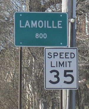
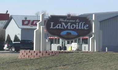
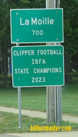
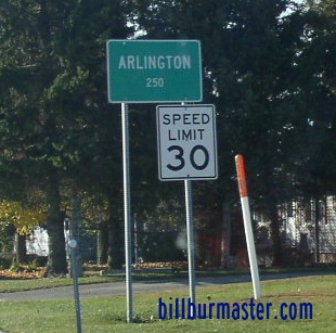
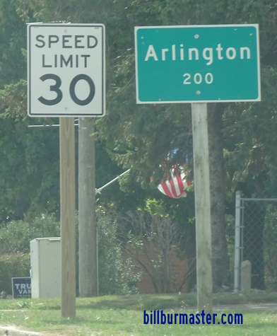
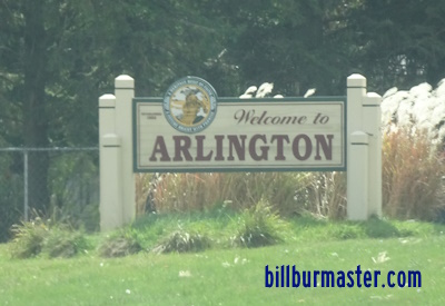
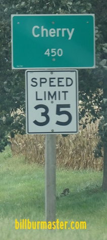
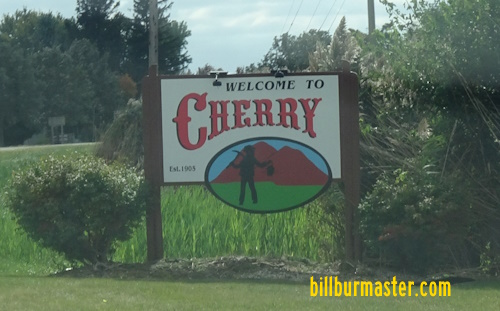
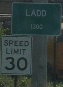
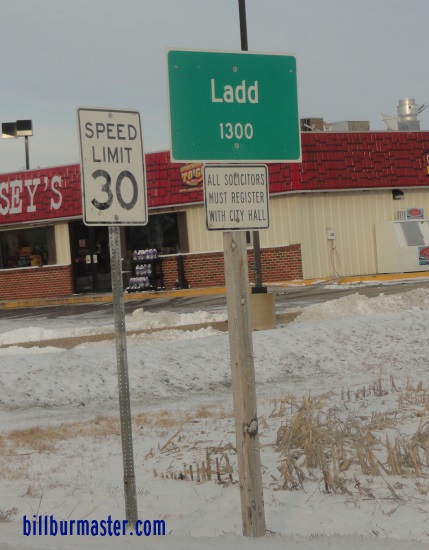
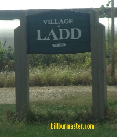
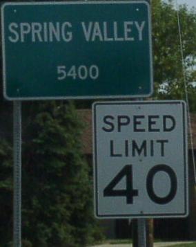
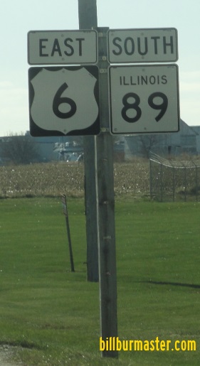
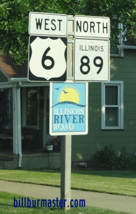
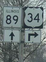
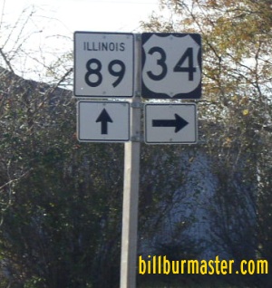
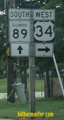
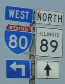
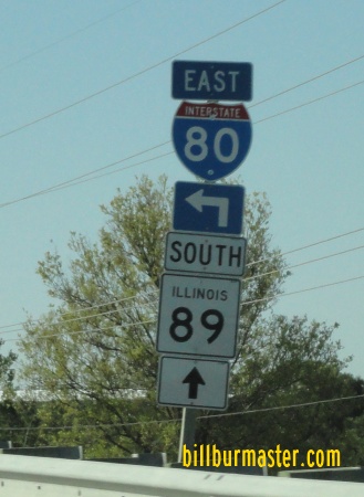
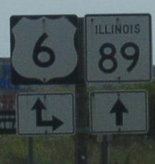
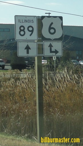
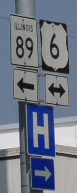
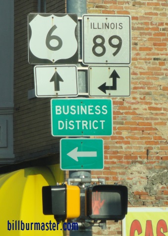
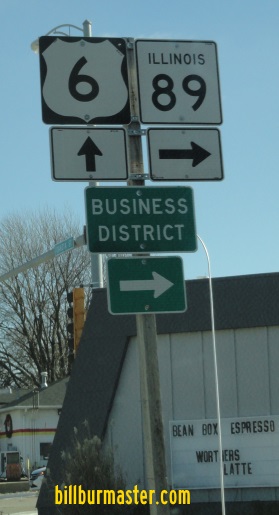
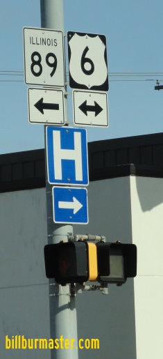
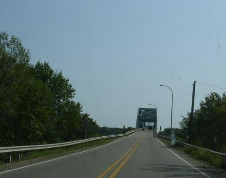
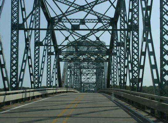
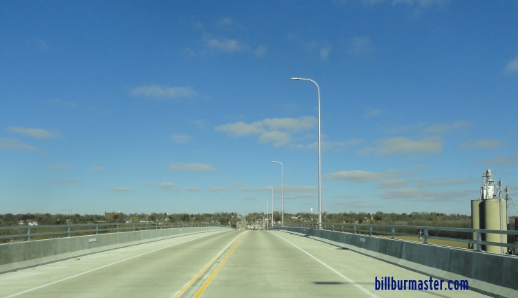
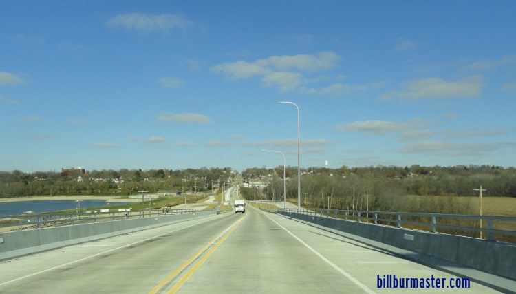
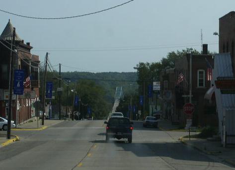
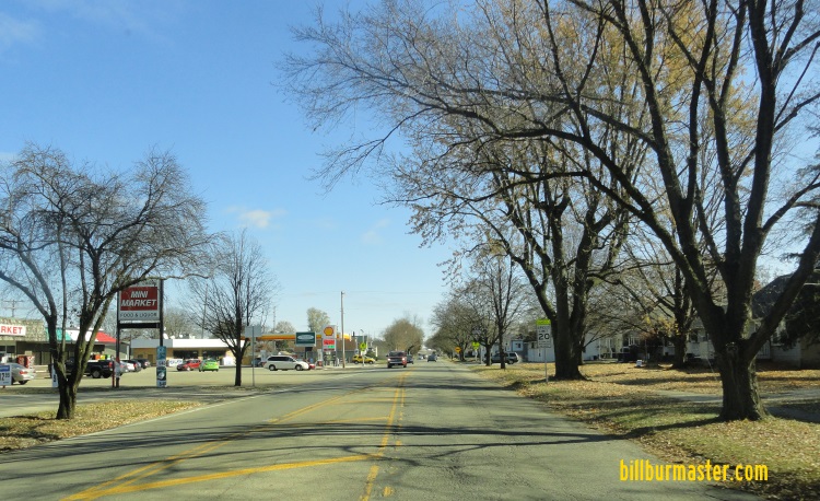
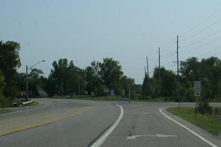
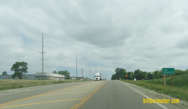
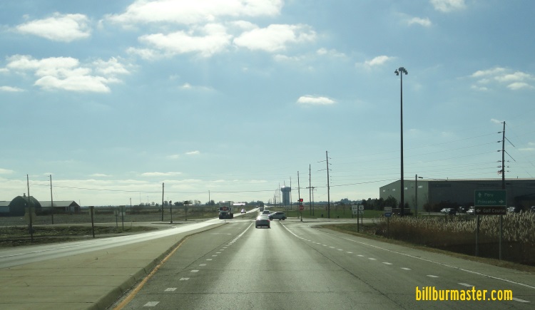
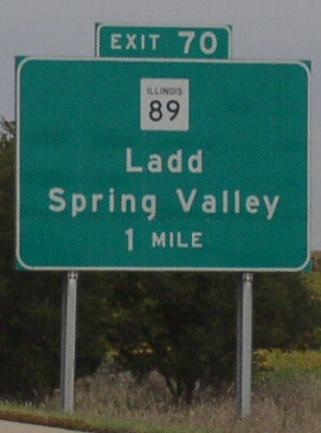
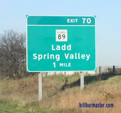
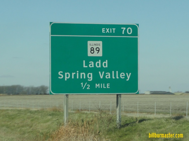
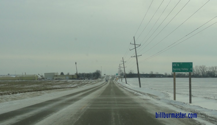
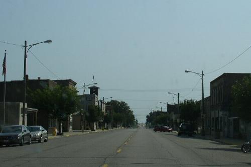
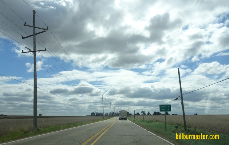
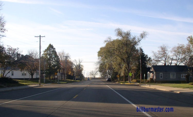
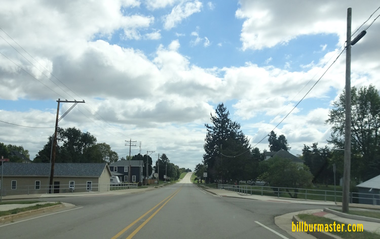
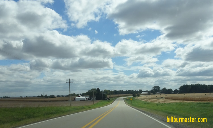
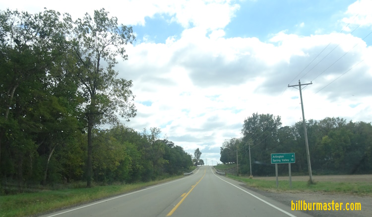
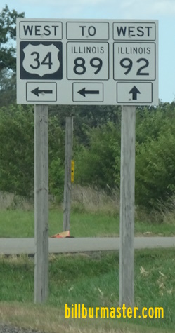
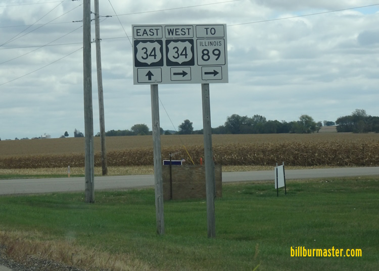
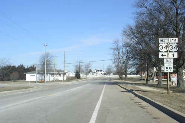
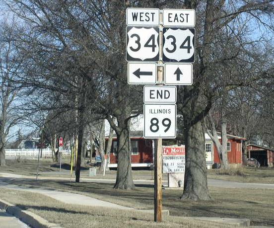
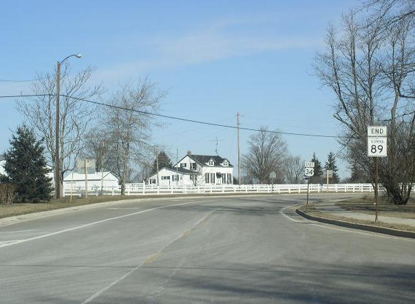
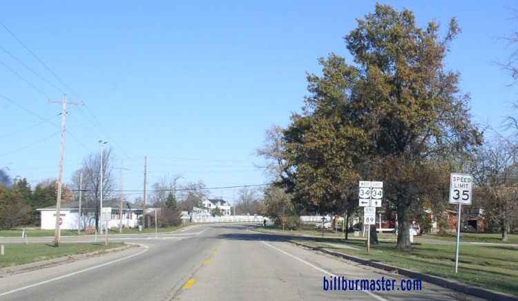
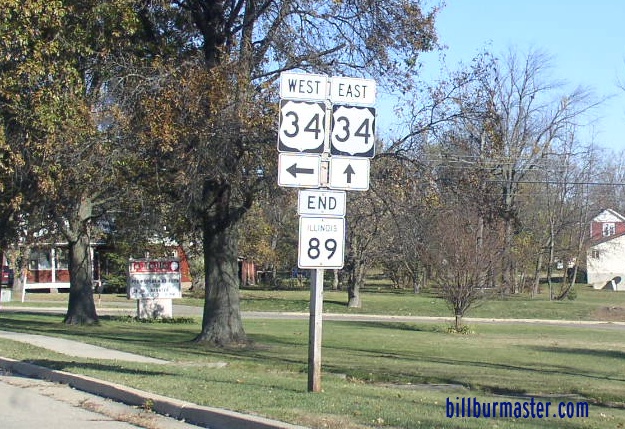
The Illinois River Bridge on IL St Rt 89 at Spring Valley. SB IL St Rt 89 on the northside of the Illinois River Bridge. This bridge is located just south of Spring Valley. SB IL St Rt 89 on the northside of the bridge. SB IL St Rt 89 near the top of the Illinois River Bridge at Spring Valley. SB IL St Rt 89 descending from the bridge into Putnam County. NB IL St Rt 89 on the southside of the Illinois River. (November, 2018) NB IL St Rt 89 at the top of the Illinois River Bridge. (November, 2018) NB IL St Rt 89 on the northside of the Illinois River Bridge. (November, 2018) SB IL St Rt 89 in Spring Valley. EB U.S. Rt. 6/SB IL St Rt 89 east of Strong Ave. EB U.S. Rt. 6/SB IL St Rt 89 at IL St Rt 29. EB U.S. Rt. 6/SB IL St Rt 89 on the eastside of Spring Valley at IL St Rt 29. WB U.S. Rt. 6/SB IL St Rt 89 north of Spring Valley. SB IL St Rt 89 north of U.S. Rt. 6. A BGS on EB I-80. A BGS on WB I-80. A BGS on WB I-80. SB IL St Rt 89 south of Ladd. SB IL St Rt 89 at Ladd. SB IL St Rt 89 south of Cherry. SB IL St Rt 89 at Cherry. SB IL St Rt 89 south of Arlington. SB IL St Rt 89 at Arlington. SB IL St Rt 89 north of Arlington. SB IL St Rt 89 south of La Moille. A Bureau County mile marker. A guide marker on WB U.S. Rt. 34. A guide marker on EB IL St Rt 92. The northern end in La Moille. A second end marker can be seen in the distance. The northern end marker. NB IL St Rt 89 at the intersection with U.S. Rt. 34. This is the northern end. The second end marker from the picture above is after the corner with U.S. Rt. 34. The second northern end marker. The northern end of IL St Rt 89. (November, 2010) The northern end marker. (November, 2010)