U.S. Federal Route 24 is the main north-south highway in the southeastern section of Peoria County. From the Peoria Metro to the Peoria/Fulton County Line, this highway runs along the western banks of the Illinois River. U.S. Rt. 24 passes through the following towns in Peoria County. Peoria
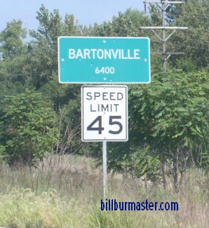
Bartonville
Tuscarora Orchard Mills Mapleton
Kingston Mines
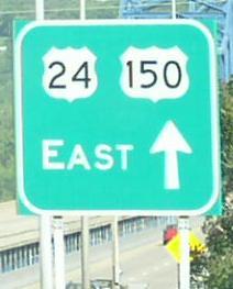
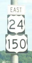
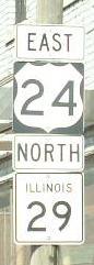
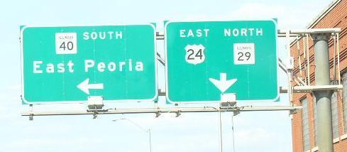
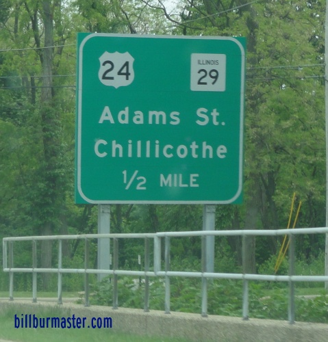
In May, 2012, U.S. Rt. 24 was routed out of Downtown Peoria. It passes this area via East Peoria to Interstate 474. Below are pictures from the former routing. A set of markers from the former routing. A guide marker north of Downtown Peoria. Guide makers at the former junction with U.S. Rt. 150/IL St Rt 29. A guide marker near IL St Rt 40. A set of guide markers at the base of the Cedar Street bridge. A BGS on WB U.S. Rt. 24/150. Old WB U.S. Rt. 24 north of I-474. Old WB U.S. Rt. 24 on the south side of Peoria. An old junction marker on IL 8/29/116. An odd guide marker in Downtown Peoria. A BGS on WB I-74. (2004) A BGS on WB I-74. (Nov., 2005) Peoria County mile marker on the Mc Clugage Bridge at the Peoria/Tazewell County Line. A BGS on EB U.S. Rt. 150.
U.S. Rt. 24 is multi-plexed in Peoria County. Interstate 474, at Bartonville.
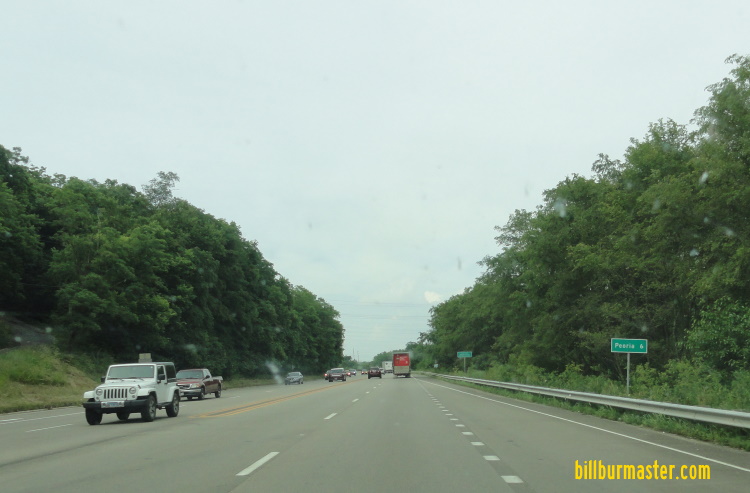
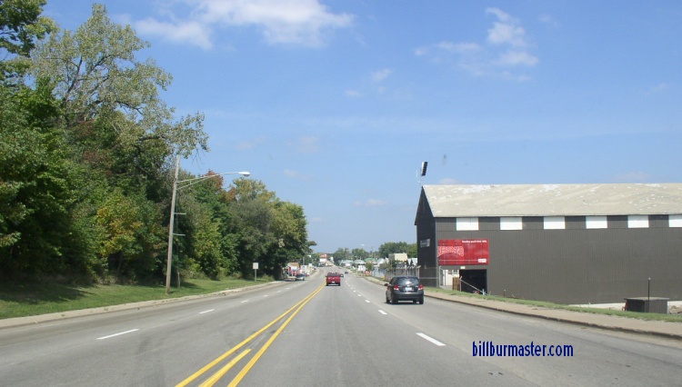
EB U.S. Rt. 24/IL St Rt 9 at the Fulton/Peoria County Line. WB U.S. Rt. 24/IL St Rt 9 near Glasford. The speed limit on U.S. Rt. 24 near Kingston Mines is 65 M.P.H. WB U.S. Rt. 24/IL St Rt 9 at Mapleton. WB U.S. Rt. 24/IL St Rt 9 near Orchard Mines. WB U.S. Rt. 24/IL St Rt 9 near Pekin. WB U.S. Rt. 24/IL St Rt 9 west of east IL St Rt 9. EB U.S. Rt. 24/IL St Rt 9 at Orchard Mines. EB U.S. Rt. 24 east of east IL St Rt 9. WB U.S. Rt. 24 west of Bartonville. WB U.S. Rt. 24 west of Bartonville. EB U.S. Rt. 24 in Bartonville. A BGS on WB I-474. A BGS on WB I-474/U.S. Rt. 24. A BGS on WB I-474/U.S. Rt. 24. A BGS on WB I-474/U.S. Rt. 24. A BGS on EB I-474. A BGS on EB I-474. EB I-474/U.S. Rt. 24 east of Bartonville. EB I-474/U.S. Rt. 24 west of the Illinois River. EB I-474/U.S. Rt. 24 at the Illinois River. WB I-474/U.S. Rt. 24 at the Peoria/Tazewell County Line.