Interstate 64, Indiana
Roads of the Mid-South & West > Highways of the State of Indiana > Interstate 64, Indiana
 | Interstate 64 |
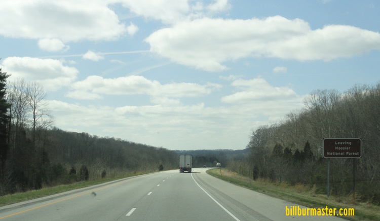
Interstate 64 is the southern most east-west interstate in the state of Indiana. It enters Indiana from Illinois on the west near Griffin. Then I-64 exits the state on the eastside in the Greater-Louisville (KY.) Metro Area. Portions of I-64 pass through the Hoosier National Forest Purchase Area.
On September 9th, 2011 at 5:00 p.m., in the middle of the afternoon rush hour, Indiana Governor Mitch Daniels ordered the Sherman Minton Bridge, which carries Interstate 64 over the Ohio River, and in and out of Indiana and Kentucky closed. This was due to a defect in a load bearing portion of the bridge. On Friday, February 17, 2012 concrete barriers were being removed an replaced with temporary barriers in prep for the bridges re-opening.

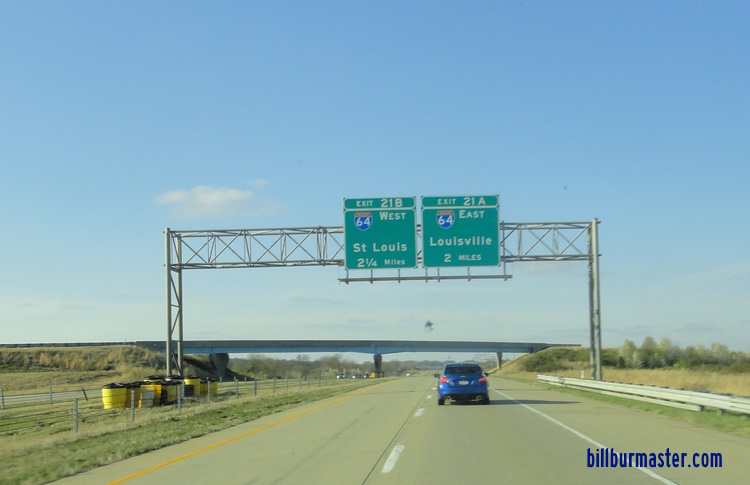
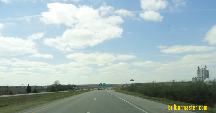
A VMS on EB I-64/U.S. Rt. 40 in St. Louis, MO. (September, 2011)
While in Indiana, Interstate 64 is multi-plexed.
I-64 is multi-plexed with...
...Indiana State Route 37, from M.P. 79 to M.P. 86.
...Indiana State Route 62, from M.P. 118 to M.P. 121.


...U.S. Rt. 150, from M.P. 119 to the Indiana/Kentucky State Line.


I-64 crosses the following interstates in Indiana.
Interstate 69, near Elberfeld.

EB I-64 two miles from I-69.

EB I-64 one mile from I-69.

EB I-64 at I-69.
Former Interstate 164, near Elberfeld. (Same interchange as I-69)

The two (2) mile BGS for I-164 on EB I-64.

EB I-64, one (1) mile from I-164.

EB I-64 at I-164.
Interstate 265, near New Albany/Clarksville.

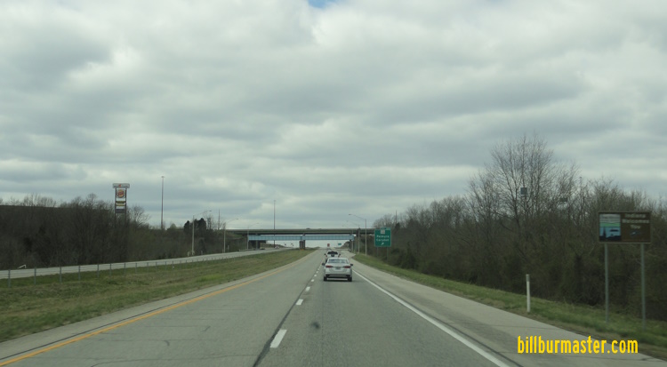
The first BGS on EB I-64.

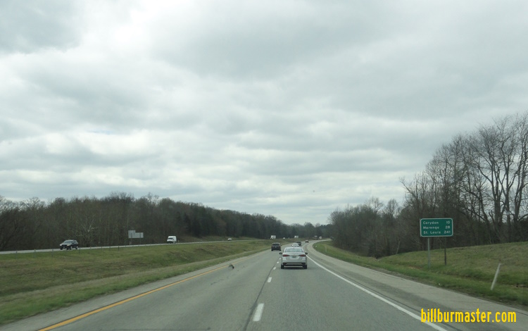
EB I-64 near I-265.

EB I-64 at I-265.

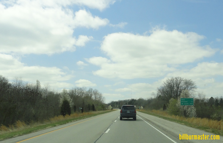
WB I-64/U.S. Rt. 150 near I-265. (April, 2022)

WB I-64/U.S. Rt. 150 at I-265. (April, 2022)
Branches of I-64 in Indiana.


EB I-64 at the Illinois/Indiana State Line.

EB I-64 near Giffin.

BGS on SB U.S. Rt. 41.

A guide sign on NB U.S. Rt. 41.

A BGS on NB U.S. Rt. 41.

A BGS on NB U.S. Rt. 41.

A guide marker on SB U.S. Rt. 41.

A BGS on SB U.S. Rt. 41.

A guide marker on SB U.S. Rt. 41.

A mile marker for the Traffic Wise program that IN D.O.T. operates.

EB I-64 east of U.S. Rt. 41.

EB I-64 at the Vanderburgh/Gibson County Line.

EB I-64 west of I-69/IN St Rt 57.
WB I-64 at the Gibson/Warrick County Line.

EB I-64 at I-69/IN St Rt 57.
A BGS on NB I-69/IN St Rt 57.

A BGS on NB I-69/IN St Rt 57.

Guide markers in Downtown Evansville.

A set of guide markers in Dale on WB IN St Rt 62.
WB I-64 at U.S. Rt. 231.

WB I-64 at U.S. Rt. 231.
WB I-64 east of U.S. Rt. 231.

WB I-64 at the Spencer/Dubois County Line.
WB I-64 west of IN St Rt 162.

WB I-64 at IN St Rt 162.

A guide marker on EB IN St Rt 162/SB IN St Rt 245.
WB I-64 east of IN St Rt 162.
WB I-64 near Ferdinand Run.

WB I-64 near Hurricane Creek.

WB I-64 west of IN St Rt 145.
WB I-64 east of IN St Rt 145.
WB I-64 near Middle Fork Anderson River.

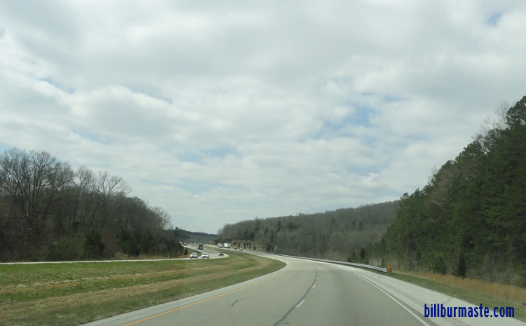
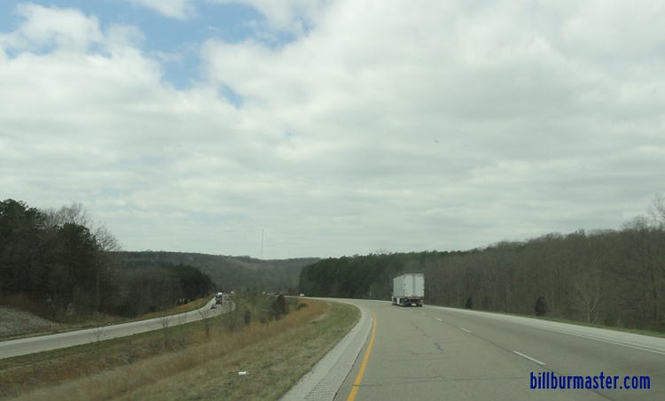
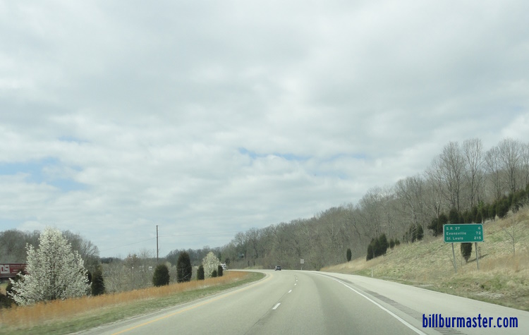
WB I-64 west of IN St Rt 37.
A BGS on NB IN St Rt 37.

A guide marker on NB IN St Rt 37.
A BGS on SB IN St Rt 37.
A BGS on NB IN St Rt 37.

A guide marker on SB IN St Rt 37.
A guide marker on SB IN St Rt 37.

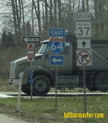
WB I-64 at IN St Rt 37.

WB I-64 at the Crawford/Perry County Line.

WB I-64 near St. Croix.
WB I-64 near Mifflin West Fork Road.
WB I-64 east of West Fork.
WB I-64 west of IN St Rt 237.
WB I-64 east of IN St Rt 237.
WB I-64 west of IN St Rt 66.

WB I-64 at IN St Rt 66.
WB I-64 east of IN St Rt 66.

WB I-64 west of Wyandotte Cave Road.

WB I-64 at the Crawford/Harrison County Line.

WB I-64 near Blue River.

WB I-64 west of IN St Rt 337.
WB I-64 west of IN St Rt 135.
WB I-64 at IN St Rt 135.

WB I-64 east of IN St Rt 135.

WB I-64 near Pfrimmers Chapel Road.
WB I-64 west of Lanesville Road.

WB I-64 at Lanesville Road.

WB I-64 at the Floyd/Harrison County Line.
WB I-64 west of Old Salem Road.
WB I-64 near Old Salem Road.

WB I-64 east of Old Salem Road.

WB I-64 near Edwardsville.

WB I-64 west of IN St Rt 62/64.

A WB guide marker near Edwardsville. (Aug., 2004)

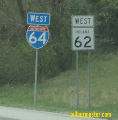
WB I-64 at west IN St Rt 62/64.

A odd pull through sign on WB I-64 at IN St Rt 62/64.

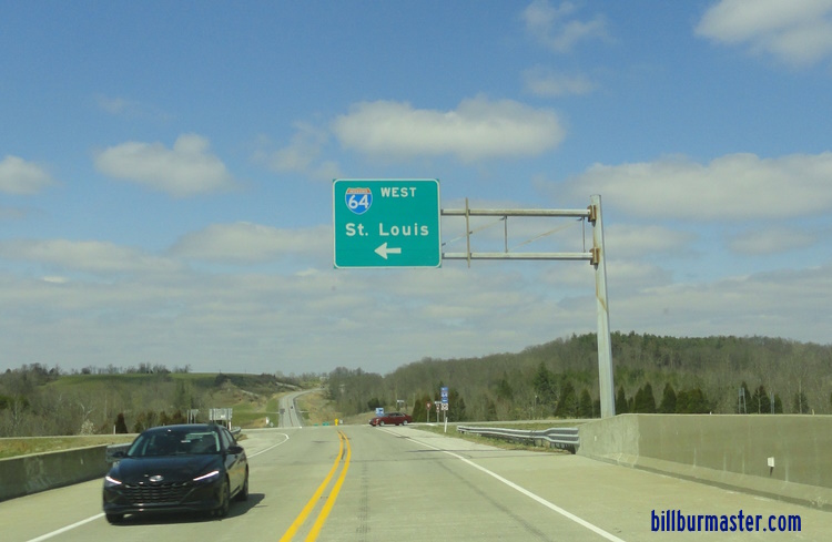
WB I-64/IN St Rt 62 west of U.S. Rt. 150.

WB I-64/IN St Rt 62 at west U.S. Rt. 150.

A guide marker on NB IN St Rt 111.

A BGS on NB IN St Rt 111.

A guide marker on NB IN St Rt 111.

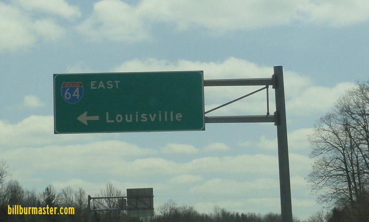
EB I-64/U.S. Rt. 150 in New Albany.

EB I-64/U.S. Rt. 150 near the Ohio River.

WB I-64/U.S. Rt. 150 at the Indiana Welcome Sign.

EB I-64/U.S. Rt. 150 at the Ohio River.

WB I-64/U.S. Rt. 150 at the Ohio River.

WB I-64/U.S. Rt. 150 at the Ohio River.
23 February 2019