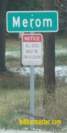
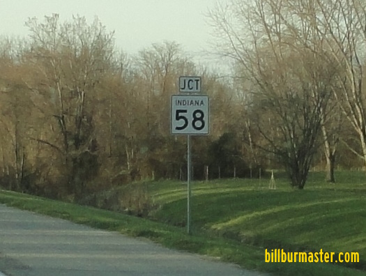
Indiana State Route 58 runs across Southern Sullivan County. While it goes in a direction from southeast to northwest it runs north-south in the county. It goes from Indiana State Route 63, at the corner of Poplar and 3rd in Merom, to the Sullivan/Knox County Line, north of Freelandville. IN St Rt 58 passes through the following highways in Sullivan County. Merom
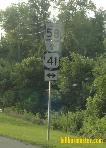
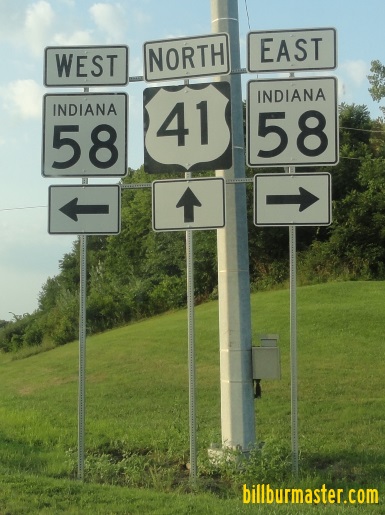
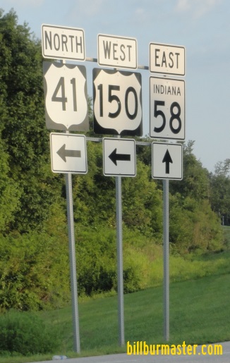
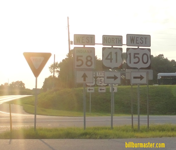
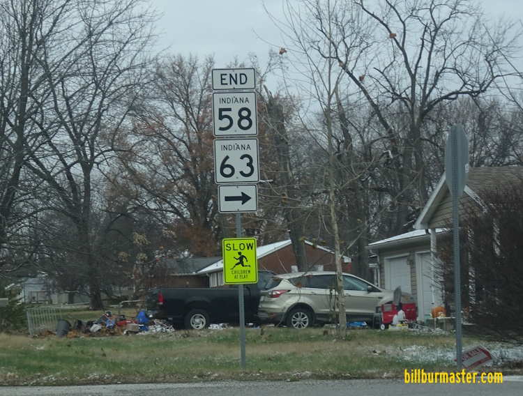
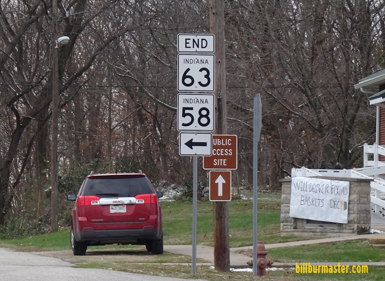
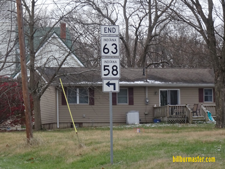
Merom Station Carlisle IN St Rt 58 is not multi-plexed in Sullivan County. IN St Rt 58 intersects the following highways in Sullivan County. Indiana State Route 63, at Merom. U.S. Rt. 41, at Carlisle.
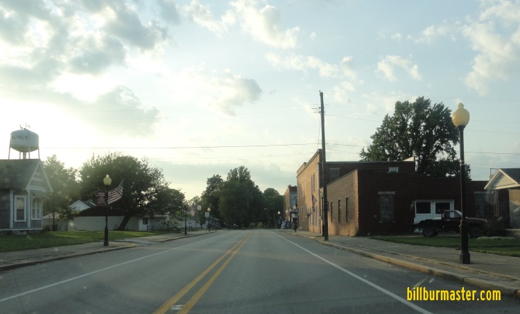
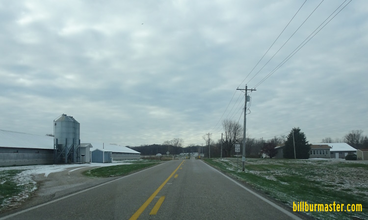
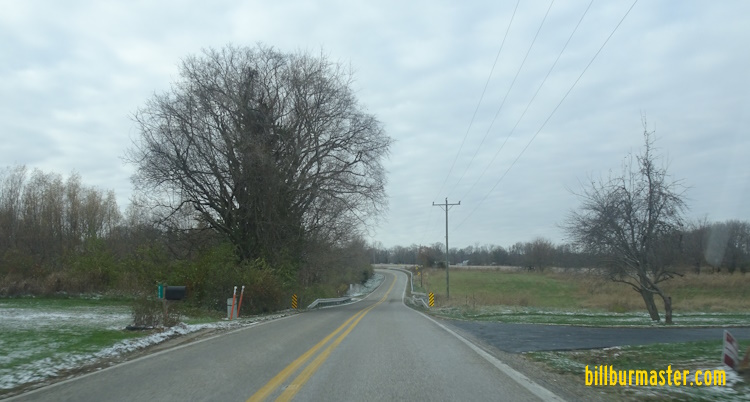
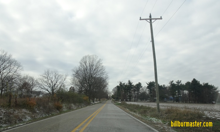
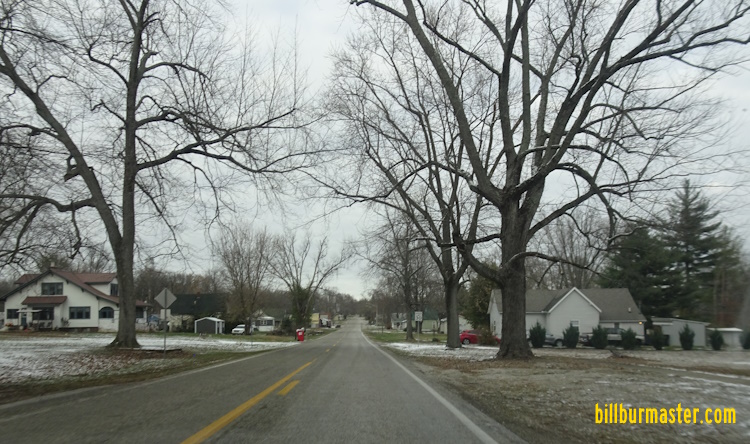
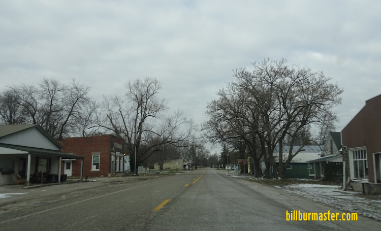
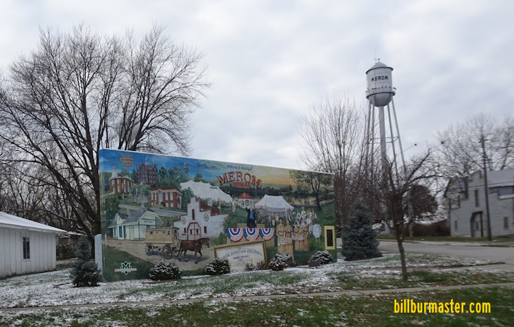
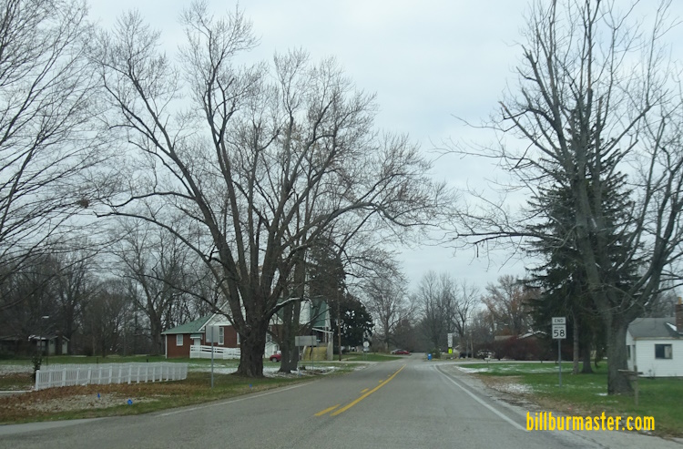
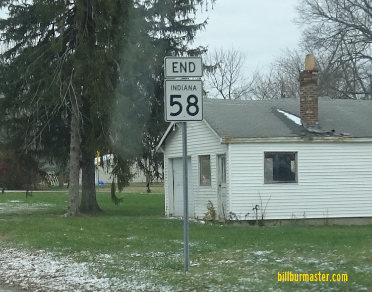
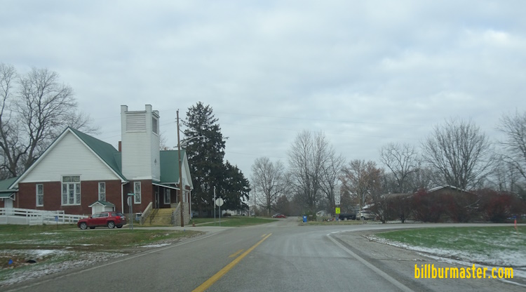
WB IN St Rt 58 east of Ledgerwood in Carlisle. A junction marker on NB U.S. Rt. 41/WB U.S. Rt. 150. WB IN St Rt 58 west of U.S. Rt. 41/150. WB IN St Rt 58 near 400W Rd. WB IN St Rt 58 east of Merom. WB IN St Rt 58 near Phillip in Merom. WB IN St Rt 58 south of Market. A mural in Merom. The western end of IN St Rt 58. The western end marker. The western end of IN St Rt 58. The western end marker. A guide marker on SB IN St Rt 63. A guide marker on SB IN St Rt 63.