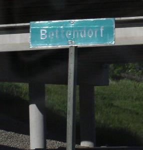
U.S. Federal Route 6 runs mostly east-west across Scott County. This route enters the state of Iowa from the I-74 Bridge then head on surface roads across Davenport before re-joining expressways on the northwest side of town. U.S. Rt. 6 passes through the following towns in Scott County. Bettendorf
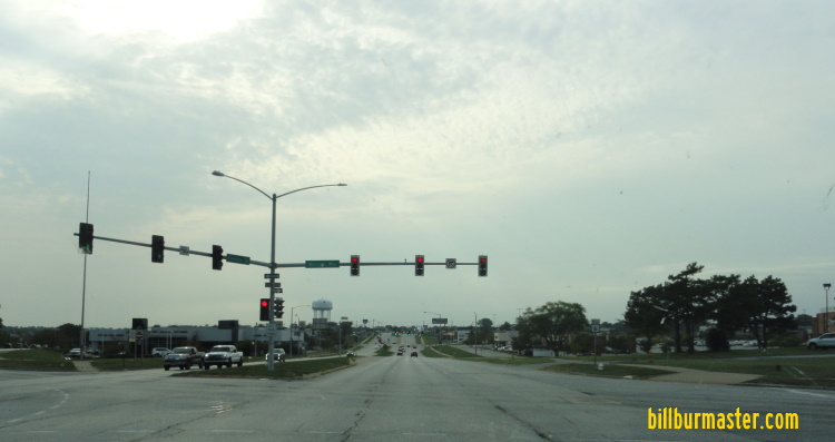
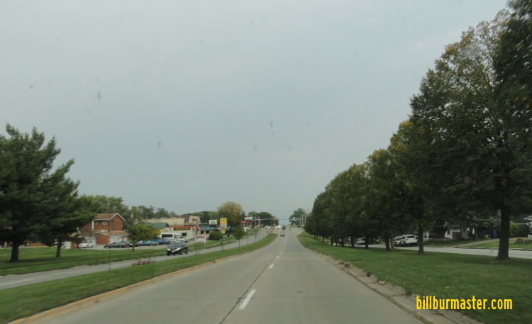
Davenport
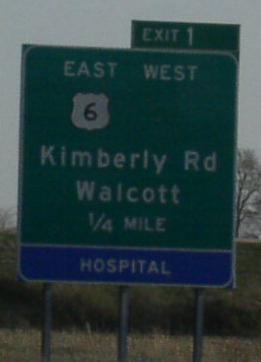
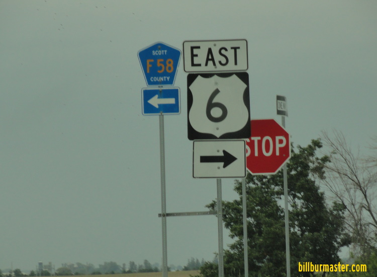
Walcott
U.S. Rt. 6 is multi-plexed in Scott County. Interstate 74, from the Illinois/Iowa State Line to Kimberly Road.
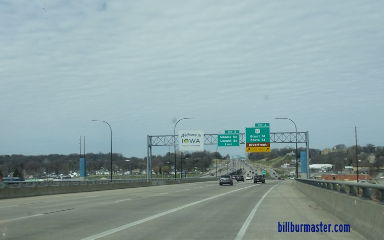
Pictures of the Mississippi River Suspension Bridges WB Pictures WB I-74/U.S. Rt. 6 on the Illinois banks of the Mississippi River Bridge. (August, 2010) WB I-74/U.S. Rt. 6 at the Iowa Welcome Sign. (August, 2010) WB I-74/U.S. Rt. 6 at the south tower of the Mississippi River Bridge. (August, 2010) WB I-74/U.S. Rt. 6 at the north tower of the Mississippi River Bridge. (August, 2010) WB I-74/U.S. Rt. 6 at the Iowa banks of the Mississippi River Bridge. (August, 2010)
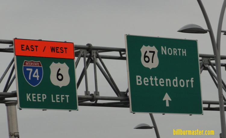
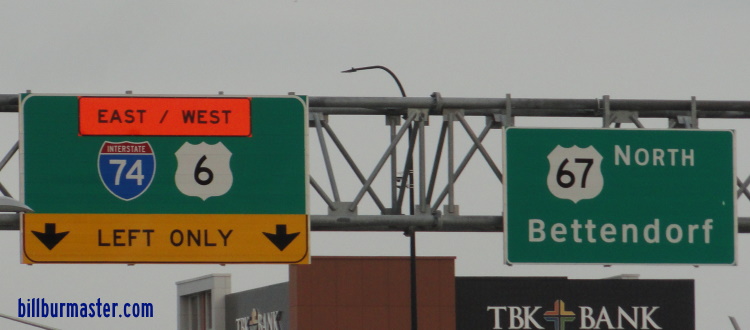
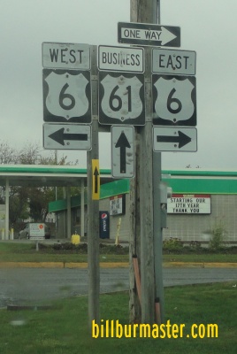
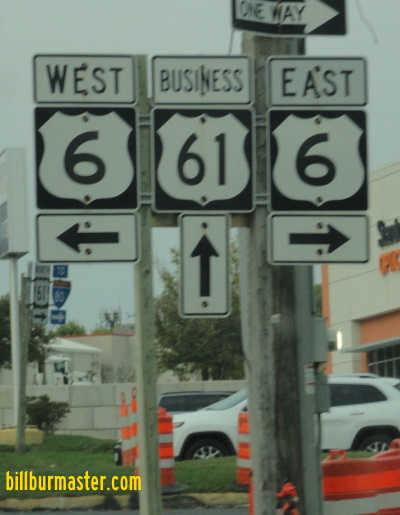
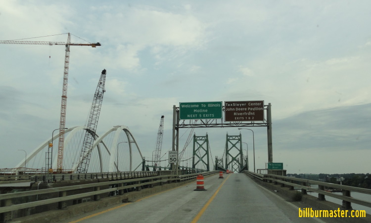
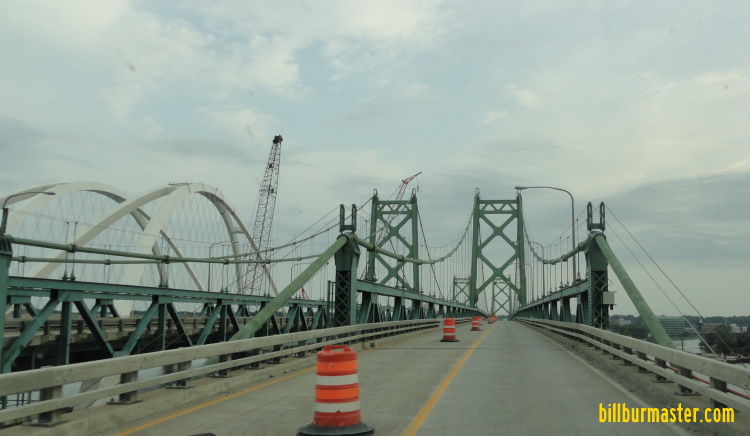
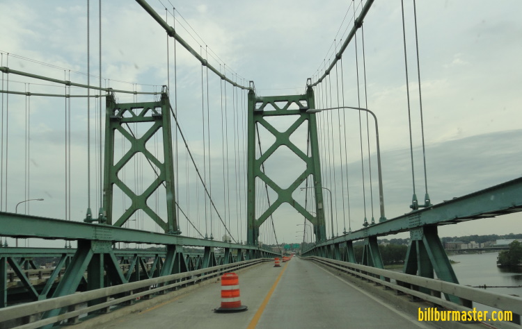
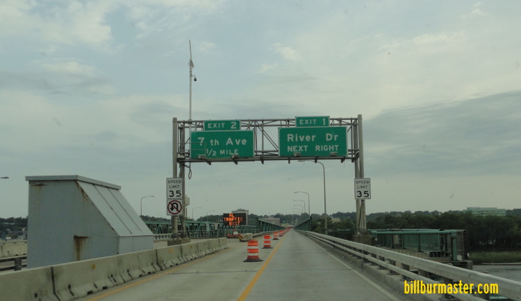
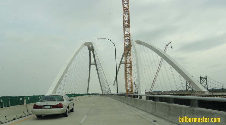
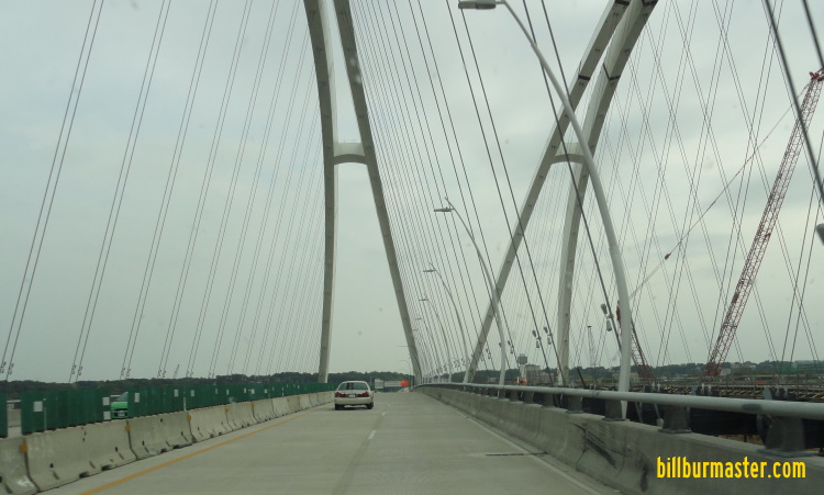
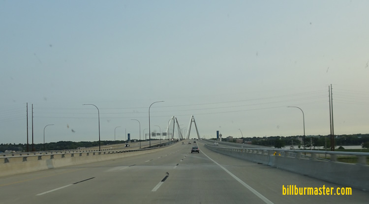
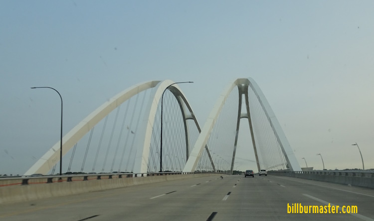
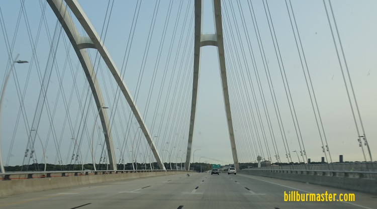
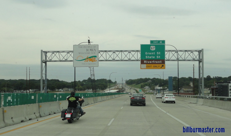
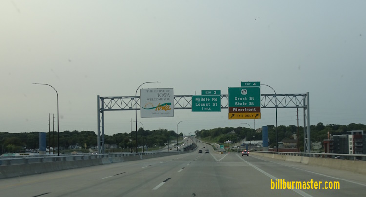
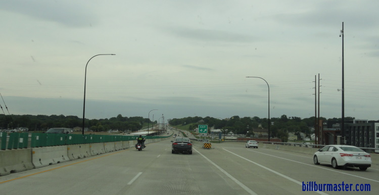
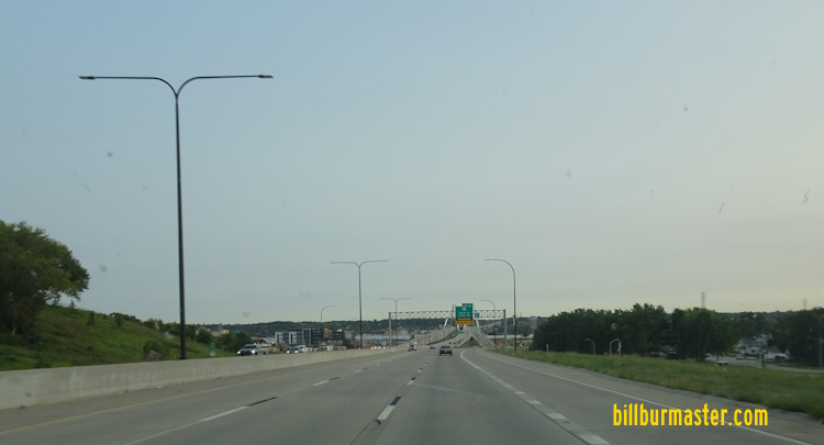
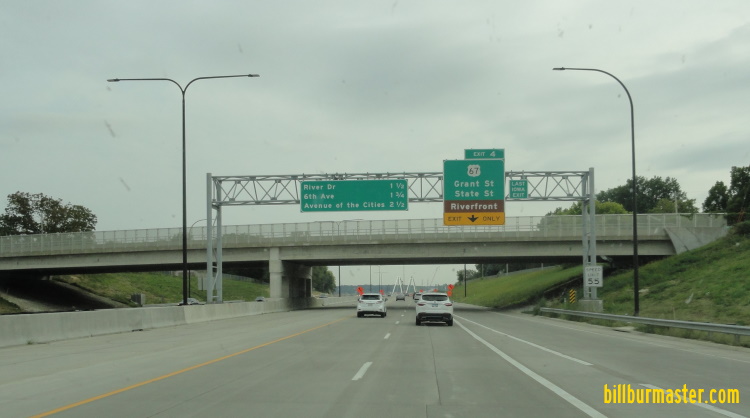
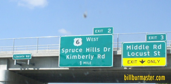
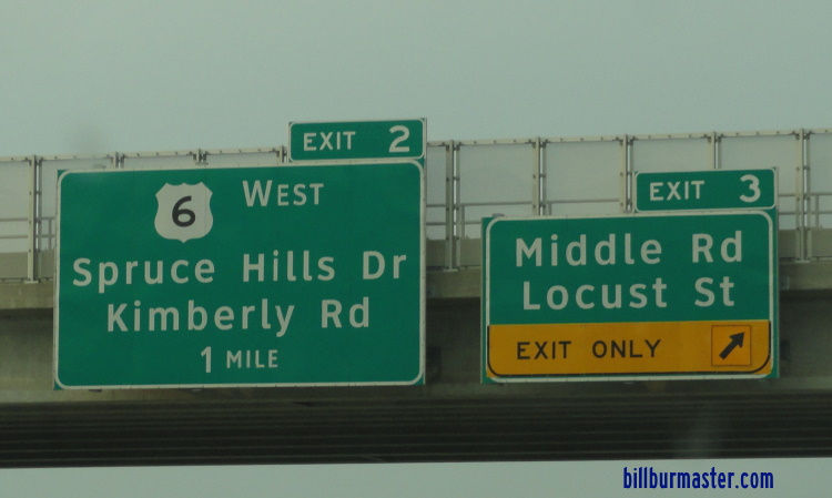
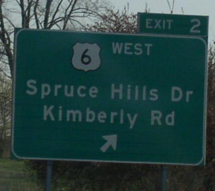
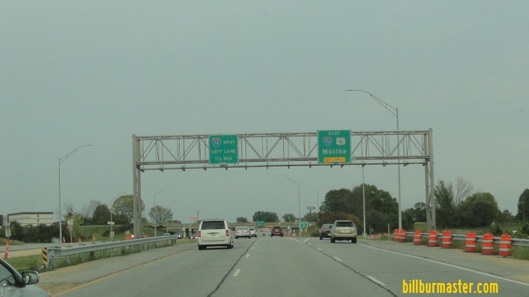
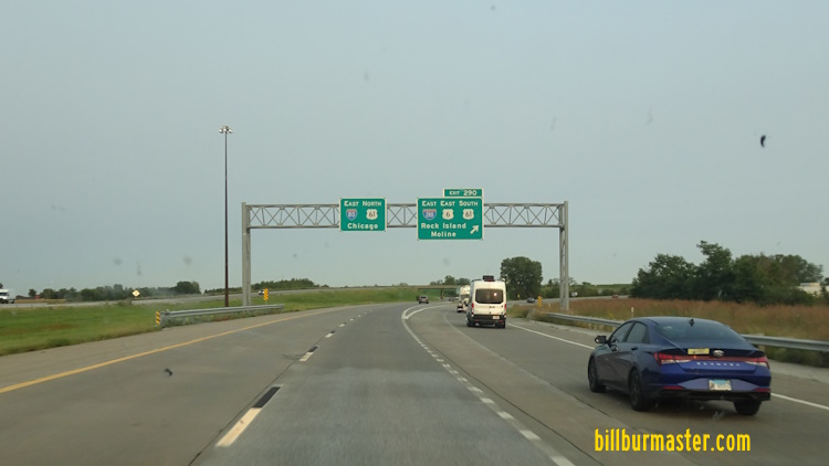
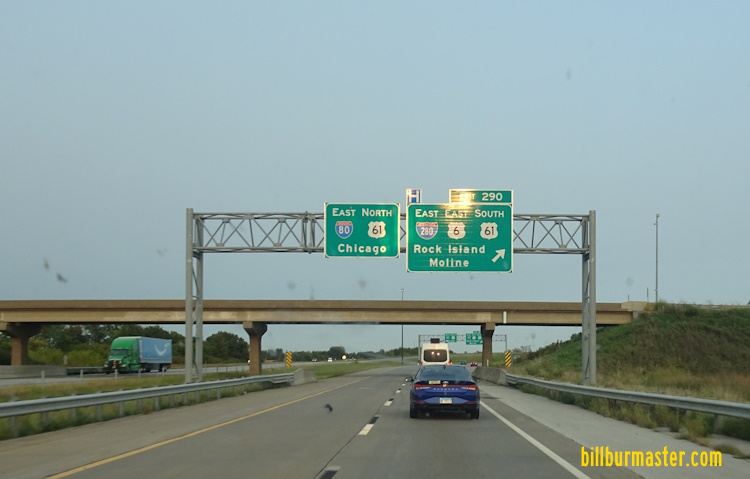
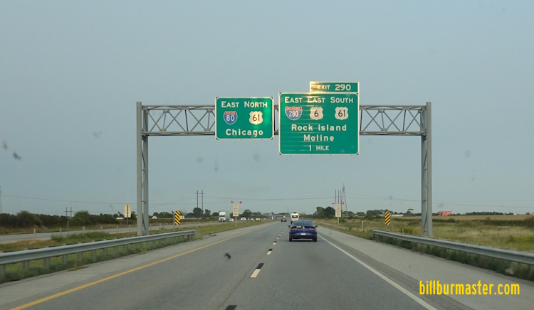
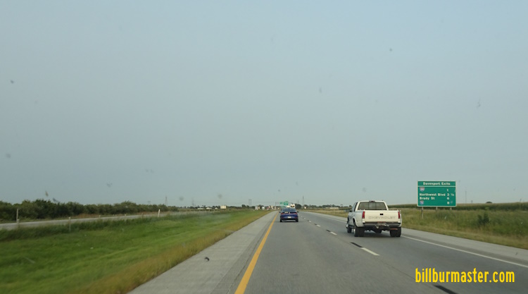
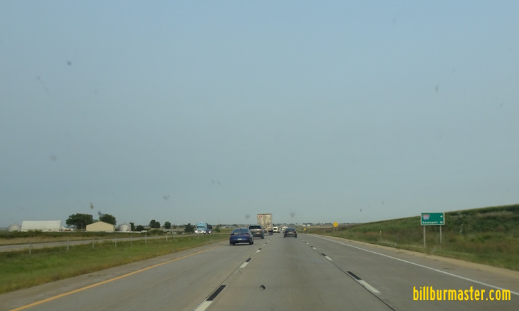
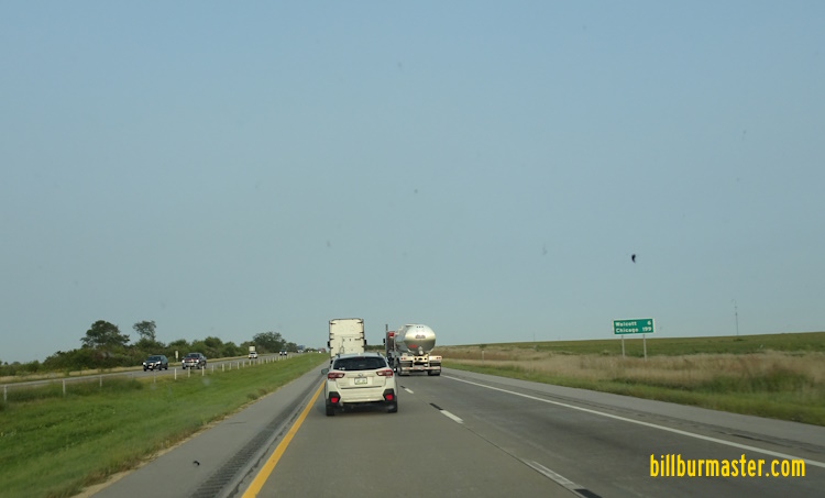
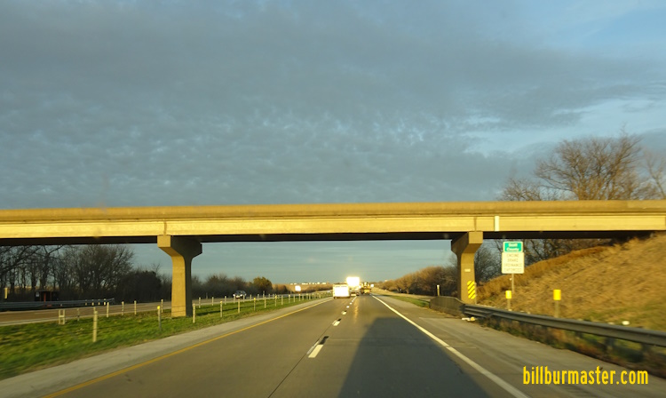
EB Pictures EB I-74/U.S. Rt. 6 on the Iowa banks of the Mississippi River. (September, 2021) EB I-74/U.S. Rt. 6 near the Iowa tower. (September, 2021) EB I-74/U.S. Rt. 6 near the Illinois tower. (September, 2021) EB I-74/U.S. Rt. 6 near where the toll plaza once was. (September, 2021) EB I-74/U.S. Rt. 6 on the Iowa banks of the Mississippi River. (September, 2021) EB I-74/U.S. Rt. 6 near the arches of the bridge. (September, 2021) EB I-74/U.S. Rt. 6 crossing the Mississippi River. EB I-74/U.S. Rt. 6 at the Iowa bank of the Mississippi River. (September, 2024) EB I-74/U.S. Rt. 6 at the arches of the Mississippi River Bridge. (September, 2024) EB I-74 crossing the Mississippi River. (September, 2024) WB I-74/U.S. Rt. 6 at the Iowa Welcome Sign. (September, 2021) WB I-74/U.S. Rt. 6 at the Iowa Welcome Sign. (September, 2024) WB I-74/U.S. Rt. 6 at the Iowa Welcome Sign. (March, 2026) WB I-74/U.S. Rt. 6 at U.S. Rt. 67. (September, 2021) EB I-74/U.S. Rt. 6 at U.S. Rt. 67. (September, 2024) A junction marker on NB U.S. Rt. 67. A guide marker on a ramp from WB I-74/U.S. Rt. 6. WB I-74/U.S. Rt. 6 near Lincoln Road in Bettendorf. EB I-74/U.S. Rt. 6 south of Middle Road in Bettendorf. A BGS on WB I-74/U.S. Rt. 6. A BGS on WB I-74/U.S. Rt. 6. A BGS on EB I-74. WB I-74/U.S. Rt. 6 at Middle Road. A junction marker on Middle Road. A guide marker on Middle Road. WB I-74/U.S. Rt. 6 north of Middle Road. A BGS on EB U.S. Rt. 6. EB U.S. Rt. 6 at I-74. EB U.S. Rt. 6 west of Elmore Ave. EB U.S. Rt. 6 west of Eastern Ave. EB U.S. Rt. 6 east of BUSN U.S. Rt. 61 in Davenport. EB U.S. Rt. 6 east of BUSN U.S. Rt. 61. WB U.S. Rt. 6 at SB BUSN U.S. Rt. 61. EB U.S. Rt. 6 near Pacific Street. EB U.S. Rt. 6 near Hickory Grove Road. EB U.S. Rt. 6 east of I-280/U.S. Rt. 61. A BGS on EB U.S. Rt. 6. A BGS on SB I-280/EB U.S. Rt. 6. A BGS on WB I-280/NB U.S. Rt. 61. A guide marker on the ramp from SB I-280. A set of guide markers on the ramp from NB I-280/U.S. Rt. 61. WB I-280/U.S. Rt. 6; NB U.S. Rt. 61 near I-80. (September, 2019) WB I-280/U.S. Rt. 6; NB U.S. Rt. 61 at I-80. (September, 2019) WB U.S. Rt. 6 on the ramp from WB I-280/NB U.S. Rt. 61 to WB I-80. EB I-80/U.S. Rt. 6 at I-280/U.S. Rt. 61. EB I-80/U.S. Rt. 6 near I-280/U.S. Rt. 6. EB I-80/U.S. Rt. 6 one mile from I-280/U.S. Rt. 6. A BGS on EB I-80/U.S. Rt. 6. A BGS on WB I-80/SB U.S. Rt. 61. A BGS on WB I-80/SB U.S. Rt. 61. WB I-80/U.S. Rt. 6 west of I-280/U.S. Rt. 61. EB I-80/U.S. Rt. 6 west of I-280/U.S. Rt. 61. WB I-80/U.S. Rt. 6 near Walcott. EB I-80/U.S. Rt. 6 east of SCH Y40. A BGS on SB SCH Y40. WB I-80/U.S. Rt. 6 west of SCH Y40. EB I-80/U.S. Rt. 6 east of SCH Y30. WB I-80/U.S. Rt. 6 east of SCH Y30. WB I-80/U.S. Rt. 6 west of SCH Y30. EB I-80/U.S. Rt. 6 at the Cedar/Scott County Line.