Interstate 75 Upper Peninsula-St. Ignace to Sault Ste Marie
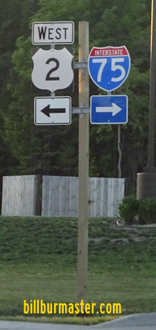
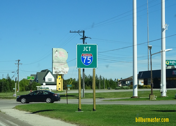
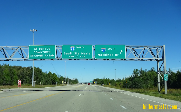
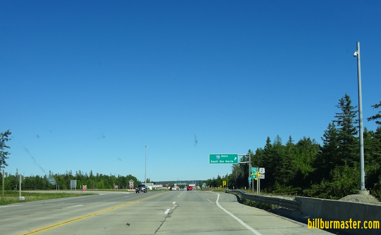
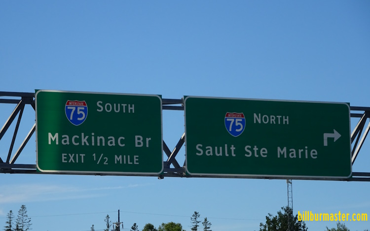
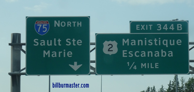
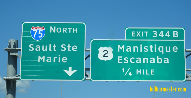
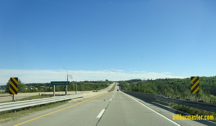
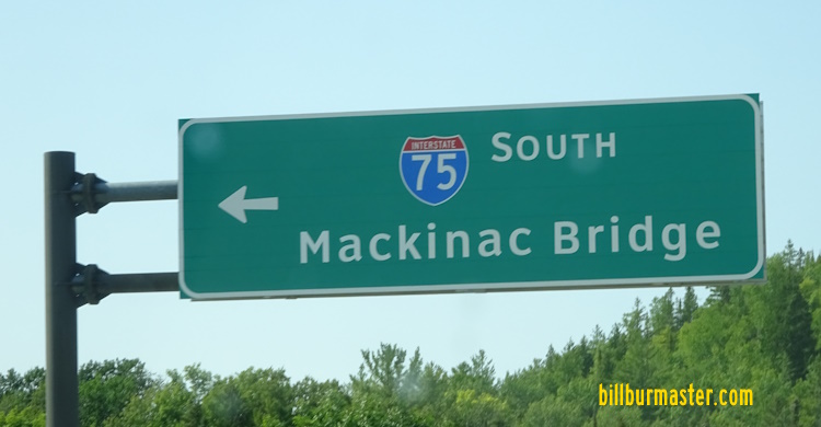
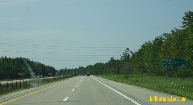
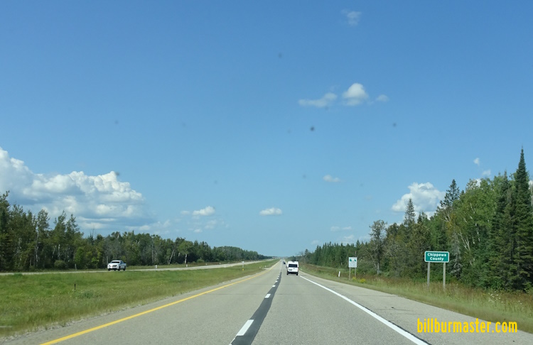
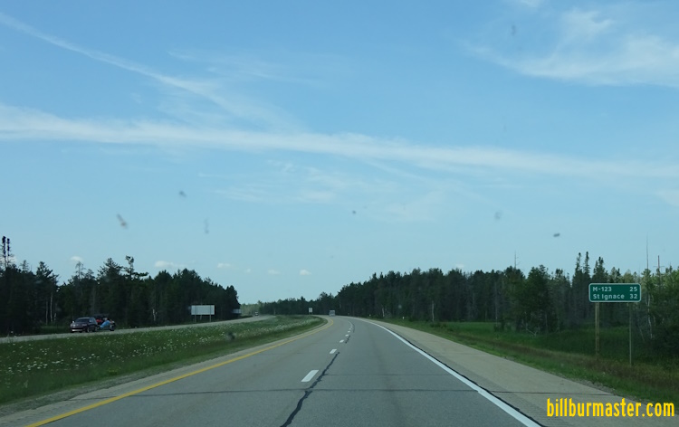
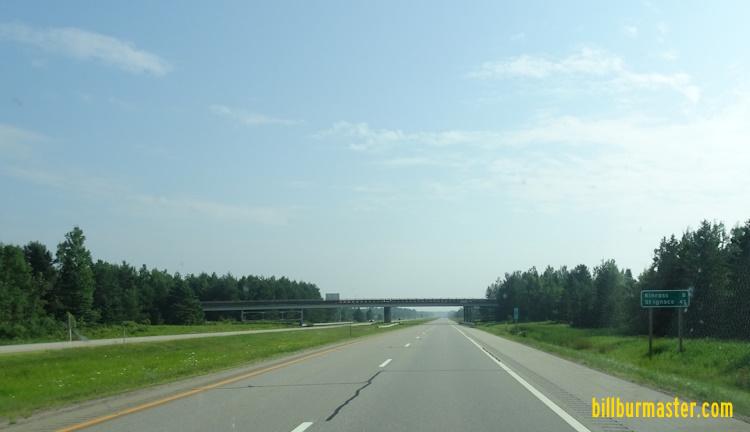
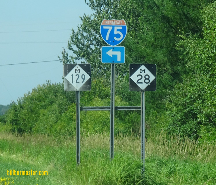
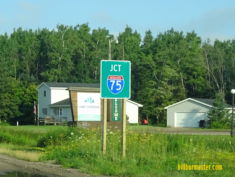
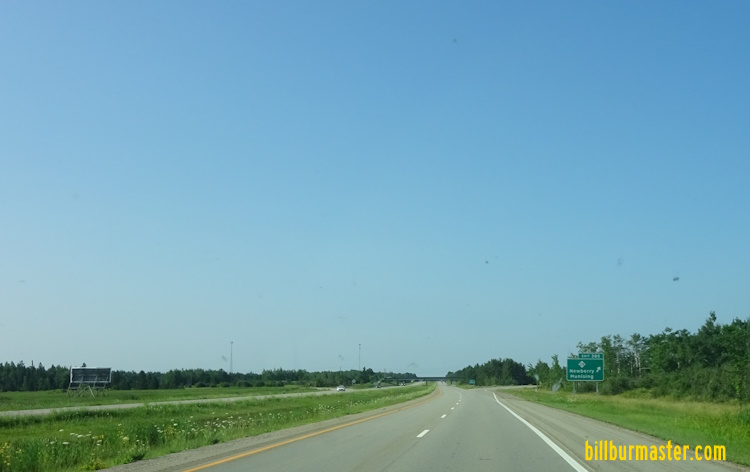
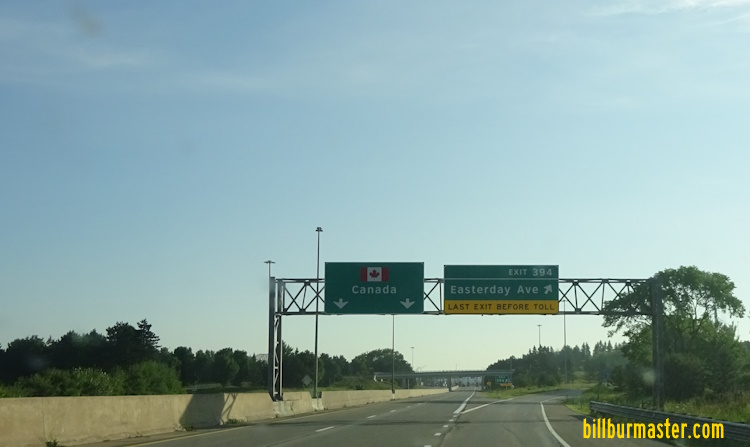
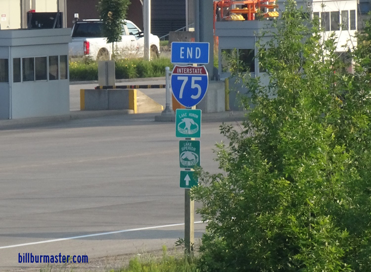
NB I-75 north of the Mackinac Bridge Toll Plaza. NB I-75 north of the Mackinac Bridge. A guide marker on Desmore Ave. A guide marker Boulevard Drive in St. Ignace. A guide marker on Boulevard Drive in St. Ignace. A set of guide markers on Boulevard Drive in St. Ignace. A junction marker on EB U.S. Rt. 2. A BGS on EB U.S. Rt. 2. A BGS on EB U.S. Rt. 2. A BGS on EB U.S. Rt. 2. A BGS on EB U.S. Rt. 2. A BGS on SB BUSN Loop I-75. A junction marker on SB BUSN Loop I-75. A BGS on SB BUSN Loop I-75. A BGS on NB I-75. (August, 2021) A BGS on NB I-75. (July, 2025) A BGS on NB I-75. (September, 2025) SB I-75 at U.S. Rt. 2/BUSN Loop I-75. NB I-75 north of BUSN Loop I-75/U.S. Rt. 2. A guide marker in St. Ignace. A BGS in St. Ignace. NB I-75 at Lemotte Street in St. Ignace. SB I-85 at Chessman Road in St. Ignace. SB I-75 south of BUSN Loop I-75. SB I-75 south of BUSN Loop I-75 north of St. Ignace. A BGS on SB BUSN Loop I-75. A BGS on NB BUSN Loop I-75. A BGS on NB BUSN Loop I-75. SB I-75 south of MI St Rt 123. SB I-75 south of MI St Rt 123. SB I-75 north of MI St Rt 123. NB I-75 north of MI St Rt 123. SB I-75 at MI St Rt 134. SB I-75 south of Pine River. SB I-75 at Pine River. SB I-75 north of Pine River. SB I-75 at the Chippewa/Mackinac County Line. NB I-75 at the Chippewa/Mackinac County Line. SB I-75 at MI St Rt 48. SB I-75 south of MI St Rt 48. SB I-75 north of MI St Rt 48. SB I-75 south of MI St Rt 48. NB I-75 north of MI St Rt 48. SB I-75 south of MI St Rt 80. SB I-75 south of MI St Rt 80. A guide marker on WB MI St Rt 80. A junction marker on WB MI St Rt 80. A guide marker on NB CCH H63. A guide marker on EB MI St Rt 80. NB I-75 north of MI St Rt 80. SB I-75 at Gaines Highway. SB I-75 south of MI St Rt 28. A junction marker on EB MI St Rt 28. A guide sign on EB MI St Rt 28. A guide sign on SB CCH H63. A guide marker on Riverside Drive. A junction marker on WB MI St Rt 28. SB I-75 at MI St Rt 28. NB I-75 north of MI St Rt 28. NB I-75 south of the Sault Ste Marie Rest Area. NB I-75 south of Sault Ste Marie. NB I-75 south of BUSN Spur I-75. SB I-75 south of BUSN Spur I-75. A bond sign on SB I-75. NB I-75 at BUSN Spur I-75. A guide sign on SB BUSN Spur I-75. A guide sign on Riverside Drive in Sault Ste Marie. NB I-75 at Sault Ste Marie. NB I-75 south of Easterday Avenue. SB I-75 south of Easterday Avenue. NB I-75 at Easterday Avenue. (August, 2021) NB I-75 at Easterday Avenue. (July, 2023) A guide sign on Portage Avenue. A guide sign on Portage Avenue. The Michigan Welcome Sign on SB I-75. A Michigan and USA Welcome Sign on SB I-75. The northern end marker of I-75. (August, 2021) The northern end marker of I-75. (July, 2025) A guide sign on W Easterday Ave for NB I-75. Lookng west at the southern ship channel bridge on the St. Mary River. Lookng west at the northern ship channel bridge on the St. Mary River.