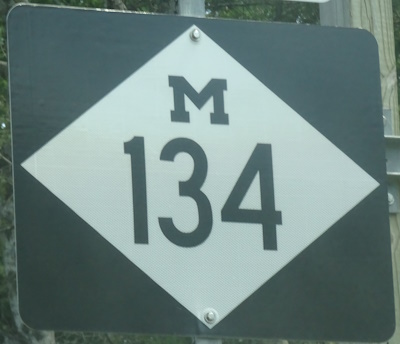
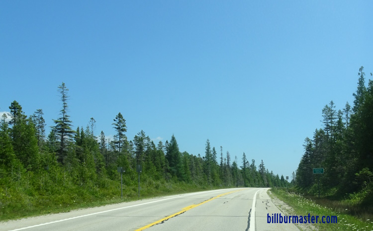
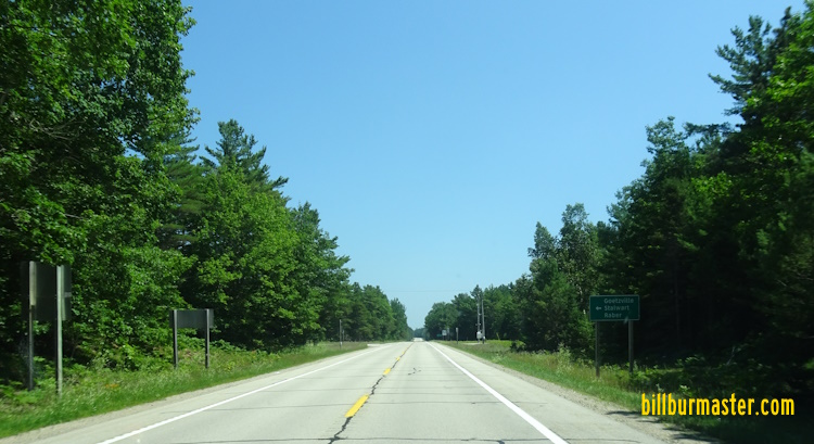
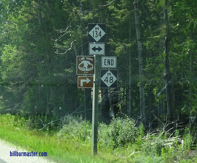
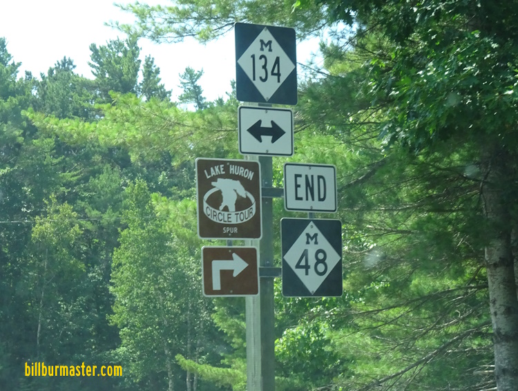
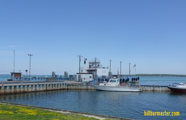
Michigan State Route 134 runs east-west in Southeastern Chippewa County. It runs from the Chippewa/Mackinac County Line, east of Cedarville, to the Drummond Island, via a ferry across the shipping channel that connects the St. Mary River to Lake Huron. This highway runs in two sections within Chippewa County. The western section is a short pass into the county surrounded by Mackinac County. It's eastern section is the longest and is the section that has the ferry between the main land and the Drummond Island. MI St Rt 134 passes through the following town in Chippewa County. DeTour Village MI St Rt 134 is not multi-plexed in Chippewa County. MI St Rt 134 intersects the following highway in Chippewa County. Michigan State Route 48, west of DeTour Village.
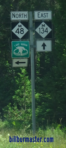
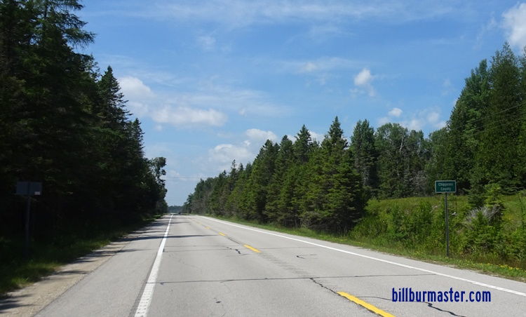
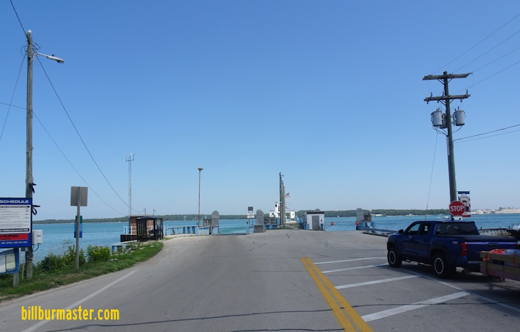
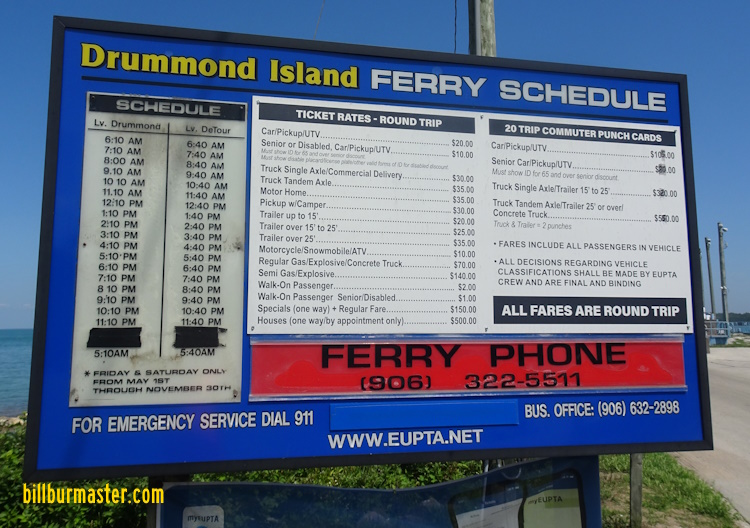
Photos of the Western Section EB MI St Rt 134 at the Chippewa/Mackinac County Line. WB MI St Rt 134 at the Chippewa/Mackinac County Line. Photos of the Eastern Section EB MI St Rt 134 at the Chippewa/Mackinac County Line. EB MI St Rt 134 west of MI St Rt 48. EB MI St Rt 134 at MI St Rt 48. A junction marker on EB MI St Rt 48. A guide marker on EB MI St Rt 48. A guide marker on EB MI St Rt 48. EB MI St Rt 134 east of MI St Rt 48. EB MI St Rt 134 near the roadside park Honoring Terry L Anderson. EB MI St Rt 134 near St. Vital Bay. EB MI St Rt 134 west of DeTour Village. EB MI St Rt 134 at Dawson Street in DeTour Village. EB MI St Rt 134 east of Ontario Street in DeTour Village. The Drummond Island Ferry. EB MI St Rt 134 at the ferry. The price chart for the ferry. (July, 2025)