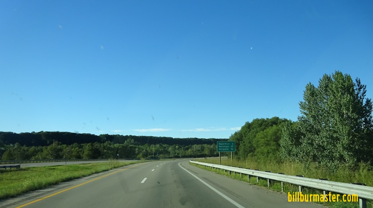
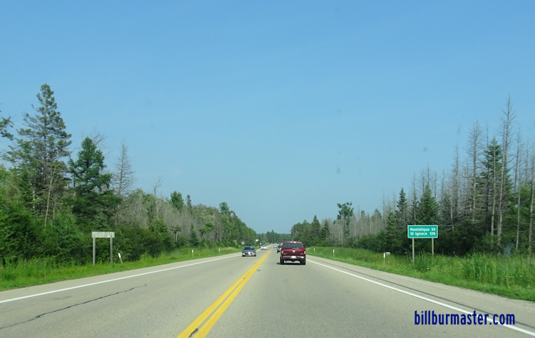
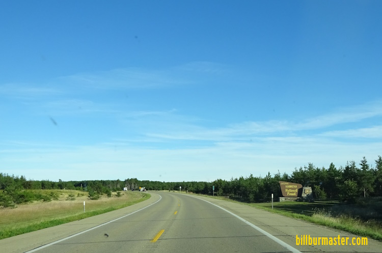
U.S. Federal Route 2 runs east-west across Delta County. It goes from the Delta/Menominee County Line, near Harris, to the Delta/Schoolcraft County Line, near Cooks. U.S. Rt. 2 passes through the following towns in Delta County. Bark River
Hyde
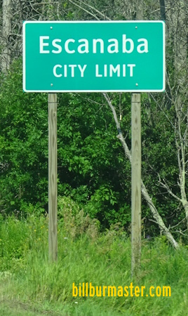
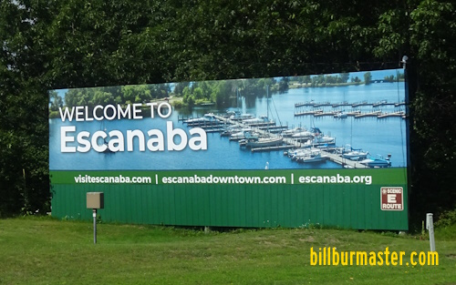
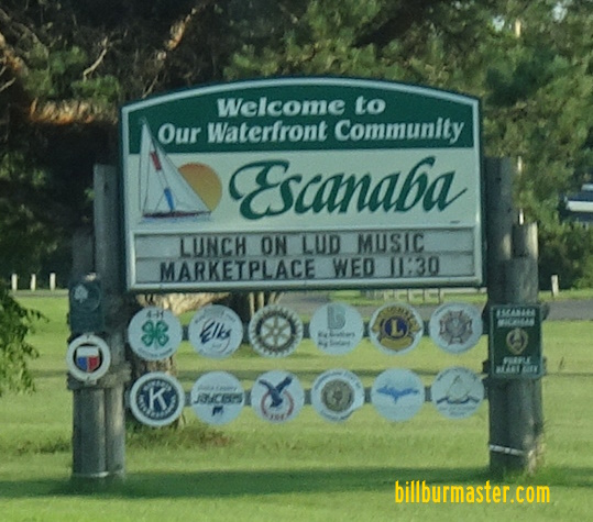
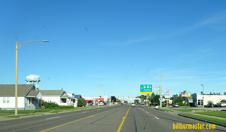
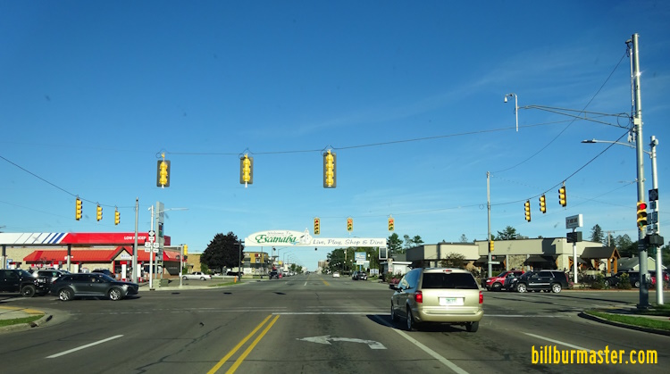
Escanaba
Wells Gladstone
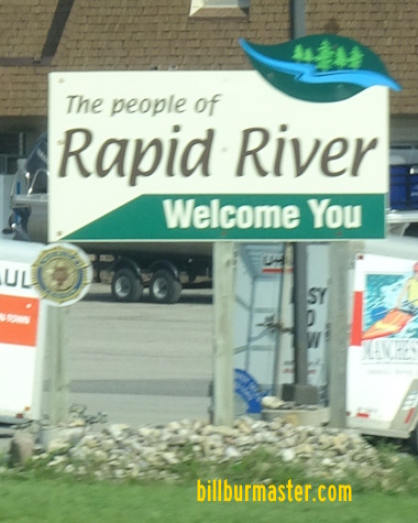
Rapid River
Ensign
Nahma Junction St Jacques
Isabella
Garden Corners
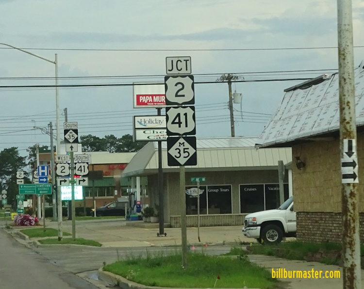
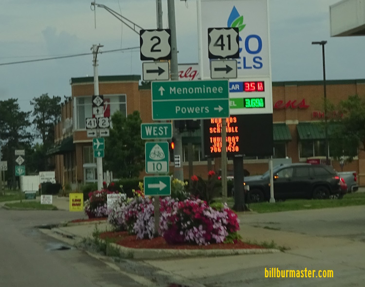
U.S. Rt. 2 is multi-plexed in Delta County. U.S. Rt. 41, from the Delta/Menominee County Line, to Rapid River.
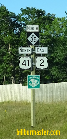
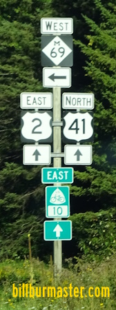
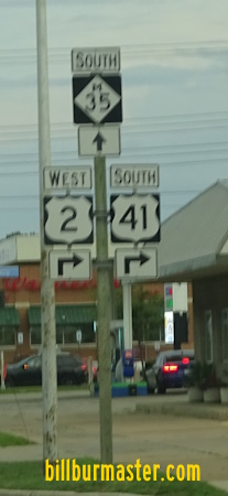
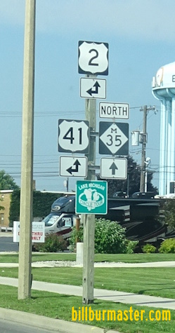
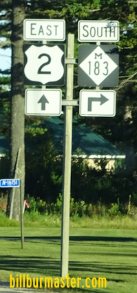
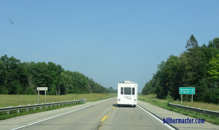
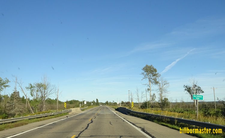
WB U.S. Rt. 2/SB U.S. Rt. 41 east of Bark River. WB U.S. Rt. 2/SB U.S. Rt. 41 west of MI St Rt 69. WB U.S. Rt. 2/SB U.S. Rt. 41 at MI St Rt 69. WB U.S. Rt. 2/SB U.S. Rt. 41 west of Hyde. WB U.S. Rt. 2/SB U.S. Rt. 41 near Hyde. WB U.S. Rt. 2/SB U.S. Rt. 41 west of Escanaba. EB U.S. Rt. 2/NB U.S. Rt. 41 west of south MI St Rt 35. EB U.S. Rt. 2/NB U.S. Rt. 41 at south MI St Rt 35. A junction marker on NB MI St Rt 35. A BGS on EB U.S. Rt. 2/NB U.S. Rt. 41. A junction marker on WB U.S. Rt. 2; SB U.S. Rt. 41/MI St Rt 35. A guide marker on WB U.S. Rt. 2; SB U.S. Rt. 41/MI St Rt 35. EB U.S. Rt. 2; NB U.S. Rt. 41/MI St Rt 35 north of 17th in Escanaba. EB U.S. Rt. 2; NB U.S. Rt. 41/MI St Rt 35 near College in Escanaba. EB U.S. Rt. 2; NB U.S. Rt. 41/MI St Rt 35 near 29th in Wells. EB U.S. Rt. 2; NB U.S. Rt. 41/MI St Rt 35 near the Escanaba River. EB U.S. Rt. 2; NB U.S. Rt. 41/MI St Rt 35 at the Escanaba River. EB U.S. Rt. 2; NB U.S. Rt. 41/MI St Rt 35 north of the Escanaba River. EB U.S. Rt. 2; NB U.S. Rt. 41/MI St Rt 35 south of Gladstone. EB U.S. Rt. 2; NB U.S. Rt. 41/MI St Rt 35 at Michigan Avenue in Gladstone. EB U.S. Rt. 2; NB U.S. Rt. 41/MI St Rt 35 near 4th in Gladstone. EB U.S. Rt. 2/NB U.S. Rt. 41 north of MI St Rt 35. EB U.S. Rt. 2/NB U.S. Rt. 41 north of Gladstone. EB U.S. Rt. 2/NB U.S. Rt. 41 north of Gladstone. EB U.S. Rt. 2/NB U.S. Rt. 41 south of Rapid River. WB U.S. Rt. 2/SB U.S. Rt. 41 south of Rapid River. EB U.S. Rt. 2/NB U.S. Rt. 41 at north U.S. Rt. 41. EB U.S. Rt. 2 east of U.S. Rt. 41. EB U.S. Rt. 2 east of Rapid River. WB U.S. Rt. 2 east of Rapid River. WB U.S. Rt. 2 near DCH 513. EB U.S. Rt. 2 west of DCH 511. WB U.S. Rt. 2 west of DCH 511. WB U.S. Rt. 2 west of Ensign. WB U.S. Rt. 2 east of Ensign. WB U.S. Rt. 2 west of the Ogontz River. WB U.S. Rt. 2 east of the Ogontz River. WB U.S. Rt. 2 west of Forest Highway 13. EB U.S. Rt. 2 east of Forest Highway 13. WB U.S. Rt. 2 near Moss Lake. WB U.S. Rt. 2 east of Isabella. EB U.S. Rt. 2 at the Big Fish Dam River. WB U.S. Rt. 2 west of MI St Rt 183. A guide marker on NB MI St Rt 183. A junction marker on NB MI St Rt 183. WB U.S. Rt. 2 at MI St Rt 183. WB U.S. Rt. 2 east of MI St Rt 183. WB U.S. Rt. 2 southwest of Cook. WB U.S. Rt. 2 at the Delta/Schoolcraft County line.