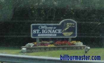
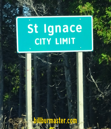
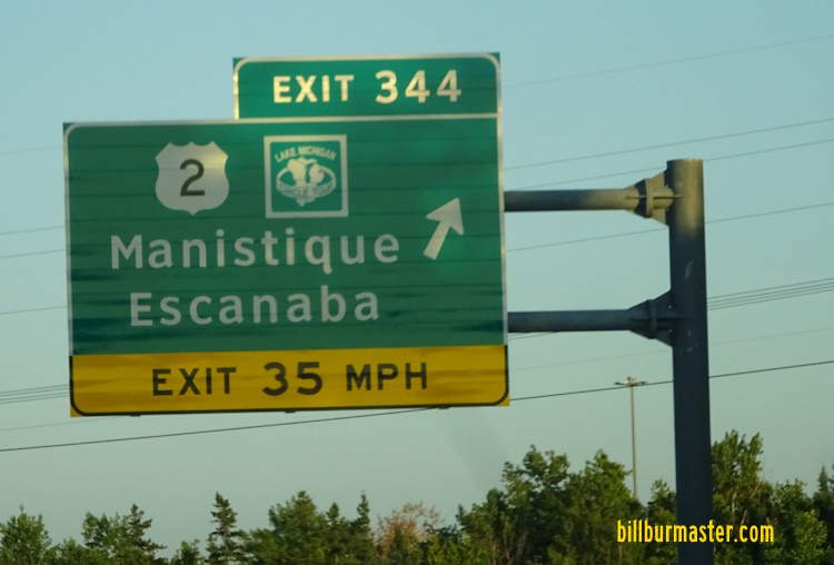
U.S. Federal Route 2 runs east-west across Southern Mackinac County. It runs from Interstate 75/BUSN Loop Interstate 75, at St. Ignace, to the Mackinac/Schoolcraft County Line, southeast of Blaney Park. This highway runs along the northern coast of Lake Michigan for most of it's length. U.S. Rt. 2 passes through the following towns in Mackinac County. St. Ignace
Brevort
Epoufette
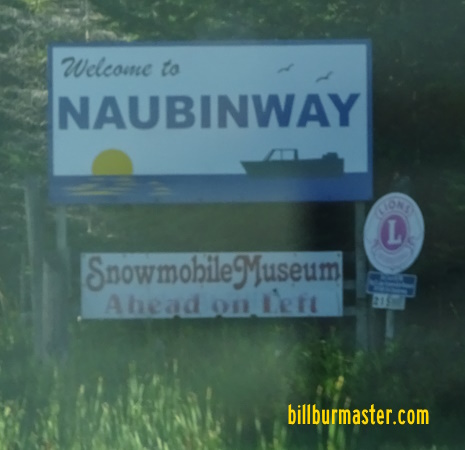
Naubinway
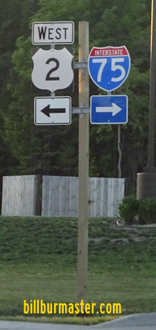
Gould City U.S. Rt. 2 is not multi-plexed in Mackinac County. U.S. Rt. 2 intersects the following highwaysin Mackinac County. Interstate 75, at St. Ignace.
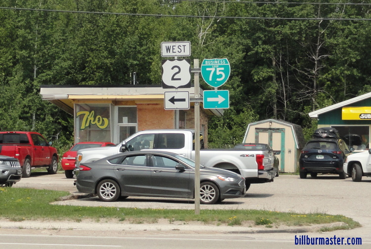
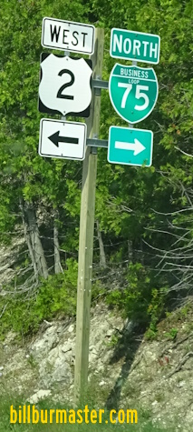
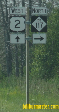
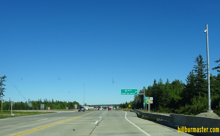
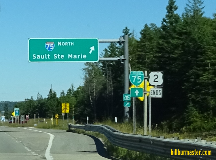
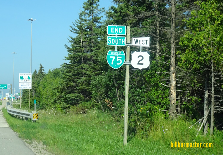
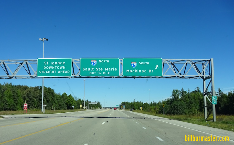
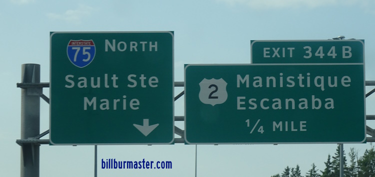
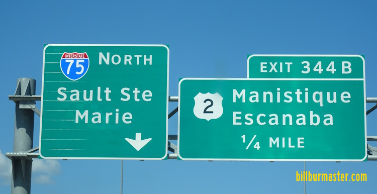
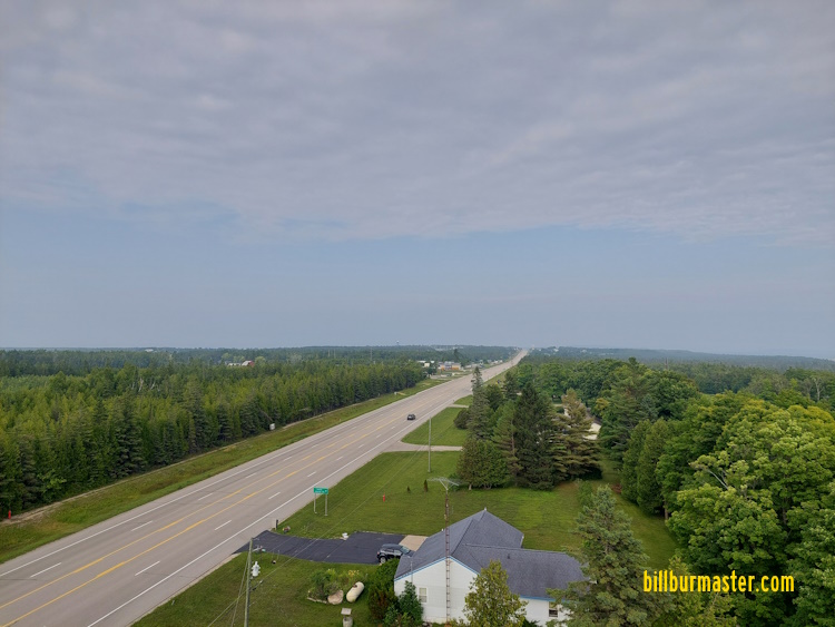
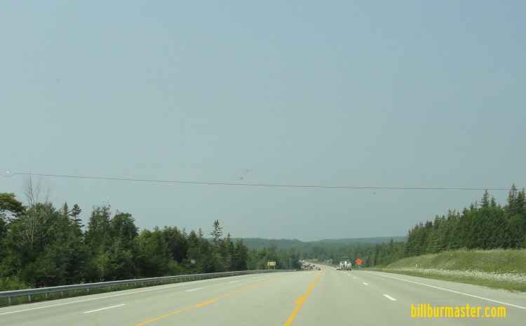
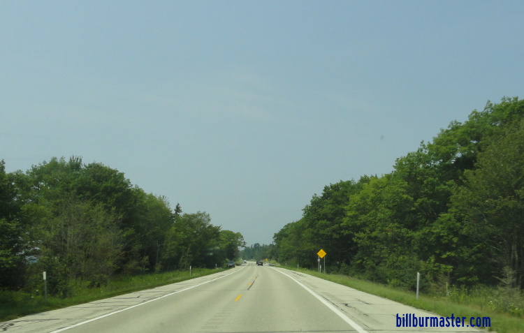
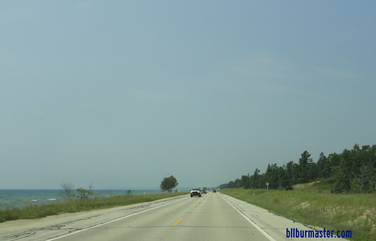
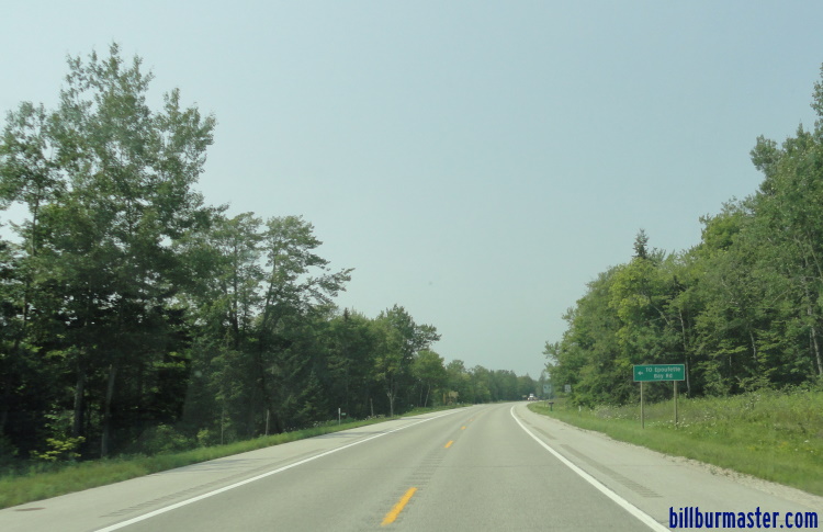
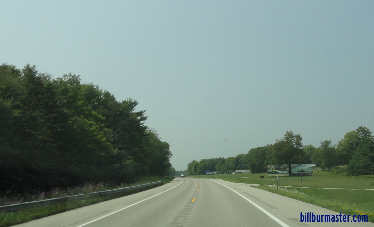
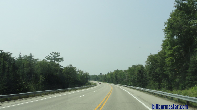
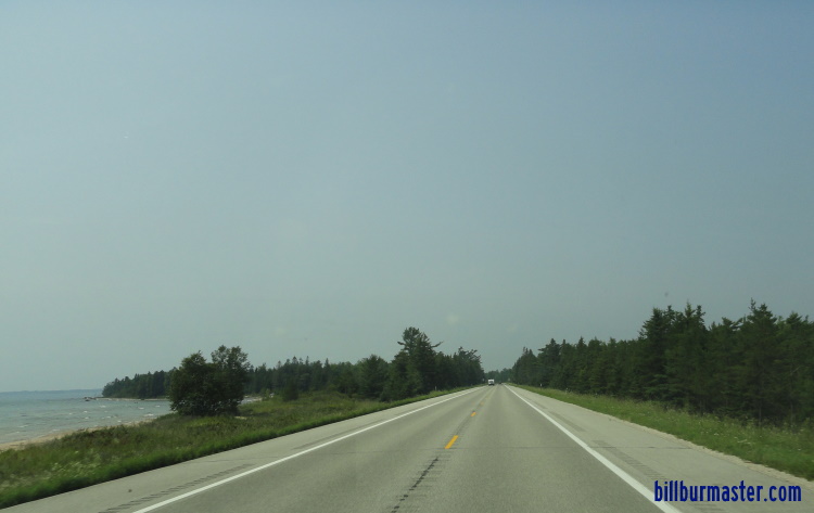
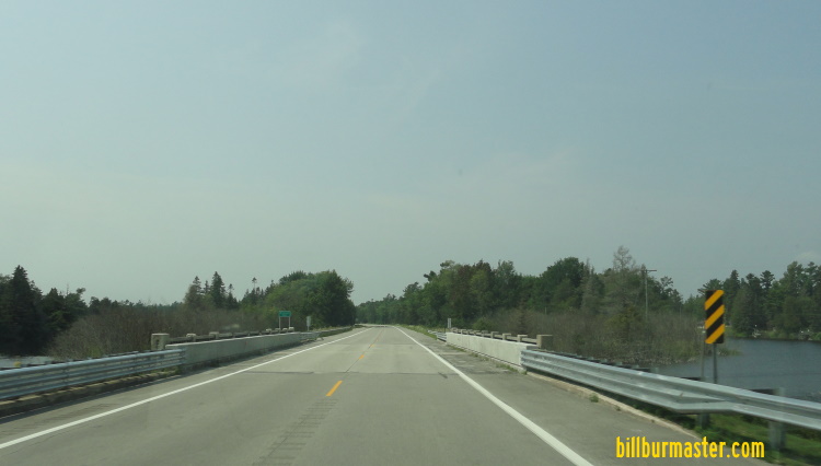
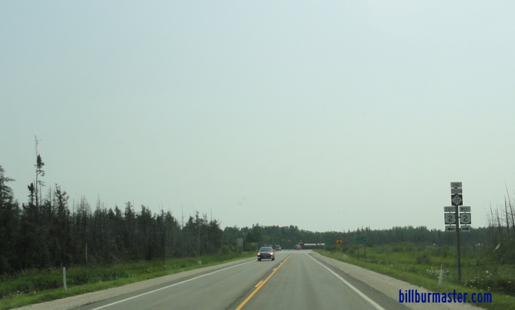
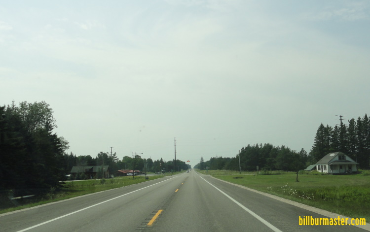
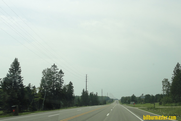
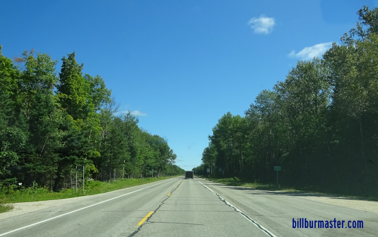
The eastern end of U.S. Rt. 2. The eastern end marker. A guide marker on SB BUSN Loop I-75. EB U.S. Rt. 2 at I-75/BUSN Loop I-75. A BGS on SB I-75. A BGS on SB I-75. A BGS on SB I-75. A BGS on NB I-75. A BGS on NB I-75. A BGS on NB I-75. A BGS on NB I-75. A guide marker on Desmore Ave. A guide marker Boulevard Drive in St. Ignace. A guide marker on Boulevard Drive in St. Ignace. A guide marker in St. Ignace. WB U.S. Rt. 2 west of St. Ignace. Looking west along U.S. Rt. 2 west of St. Ignace. Looking east along U.S. Rt. 2 towards St. Ignace. WB U.S. Rt. 2 west of Old Portage Trail. WB U.S. Rt. 2 west of Martin Lake Road. WB U.S. Rt. 2 east of Brevort Lake Road. WB U.S. Rt. 2 west of Brevort Lake Road. WB U.S. Rt. 2 east of Dunes Beach. WB U.S. Rt 2 at Dunes Beach. EB U.S. Rt. 2 at Dunes Beach. WB U.S. Rt. 2 west of Dunes Beach. WB U.S. Rt. 2 west of Dunes Beach. WB U.S. Rt. 2 east of Forest Highway 3108. WB U.S. Rt. 2 west of Forest Highway 3108. WB U.S. Rt. 2 east of Brevort. WB U.S. Rt. 2 at Brevort. WB U.S. Rt. 2 west of Brevort. WB U.S. Rt. 2 east of Cut River. WB U.S. Rt. 2 at Cut River. WB U.S. Rt. 2 at Cut River. WB U.S. Rt. 2 west of Cut River. A sign along EB U.S. Rt. 2. WB U.S. Rt. 2 east of Epoufette. WB U.S. Rt. 2 near Epoufette Bay. WB U.S. Rt. 2 near Paquin Creek Road. WB U.S. Rt. 2 west of Paquin Creek Road. WB U.S. Rt. 2 west of Epoufette Bay. WB U.S. Rt. 2 near Naubinway. WB U.S. Rt. 2 east of Naubinway. WB U.S. Rt. 2 at the Lower Milecoquins River. WB U.S. Rt. 2 near Arnold Road. WB U.S. Rt. 2 east of MI St Rt 117. EB U.S. Rt. 2 wast of MI St Rt 117. WB U.S. Rt. 2 at MI St Rt 117. EB U.S. Rt. 2 at MI St Rt 117. A junction marker on SB MI St Rt 117. A guide marker on SB MI St Rt 117. WB U.S. Rt. 2 west of MI St Rt 117. WB U.S. Rt. 2 southeast of Engadine. WB U.S. Rt. 2 east of Gould City. WB U.S. Rt. 2 at Gould City. WB U.S. Rt. 2 west of Corline Road. WB U.S. Rt. 2 near Milakokla Lake Road. EB U.S. Rt. 2 at the Mackinac/Schoolcraft County Line.