Interstate 279, Pennsylvania
Roads of the Mid-South & West > Highways of the Commonwealth of Pennsylvania > Interstate 79, Pennsylvania > Interstate 279, Pennsylvania
 | Interstate 279 |
Interstate 279 is a north-south loop in Metro-Pittsburgh. It runs from a jucntion with Interstate 79, near Carnegie, to Interstate 79, near Franklin Park. This runs into Downtown Pittsburgh, while it's parent highway by-passes the city-proper.
While in Pennsylvania, I-279 is multi-plexed.
I-279 is multi-plexed with...
......TRUCK U.S. Rt. 19, at Pittsburgh.
In 2009, the streach of I-279 from I-279 east to Downtown Pittsburg, at I-376, was re-numbered I-376. This gives the Penn-Lincoln Parkway the same highway number along the entire highway. Below are photos from the old parts of I-279.

A set of guide markers.

NB I-279; EB U.S. Rt. 22/30 near Carnegie.

NB I-279; EB U.S. Rt. 22/30 near Mansfield Ave.

NB I-279; EB U.S. Rt. 22/30 near Green Tree.

Looking west down I-279; U.S. Rt. 22/30 from the gold tower in the picture above in Green Tree.

I-279; U.S. Rt. 22/30 passes through steep grades near Downtown Pittsburgh.

The first warning sign for the Fort Pitt Tunnel on NB I-279; EB U.S. Rt. 22/30.

A sign for a truck run-away ramp on NB I-279; EB U.S. Rt. 22/30.

NB I-279/U.S. Rt. 19; EB U.S. Rt. 22/30 near the Fort Pitt Tunnel.

Lane markers near the Fort Pitt Tunnel.

NB I-279/TK U.S. Rt. 19; EB U.S. Rt. 22/30 at the Fort Pitt Tunnel.

NB I-279/TK U.S. Rt. 19; EB U.S. Rt. 22/30 in the Fort Pitt Tunnel.

NB I-279/TK U.S. Rt. 19; EB U.S. Rt. 22/30 crossing the Monongahela River.

NB I-279/TK U.S. Rt. 19 near the Allegheny River.

The two mile BGS on NB I-79.

The one mile BGS on NB I-79.

NB I-79 near I-279.

NB I-79 at I-279.
Interstate 279 crosses the following interstates in Pennsylvania.
Interstate 376, at Pittsburg.

A BGS on NB I-279.

NB I-279 at I-376.

SB I-279 at I-376.
Interstate 579, at Pittsburgh.
Interstate 79, near Franklin Park.
Info on the parent route to I-279.

A guide marker on Liberty Ave.

A guide sign on NB I-279; EB U.S. Rt. 22/30.

A BGS in Green Tree.

A BGS on EB I-376; EB U.S. Rt. 22/30.

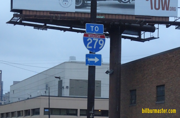
A BGS on NB U.S. Rt. 19.

A BGS on WB I-376; U.S. Rt. 22/30.

NB I-279/TK U.S. Rt. 19 at Point State Park.

NB I-279/TK U.S. Rt. 19 near the Fort Duquesne Bridge.

The Fort Duquesne Bridge.

NB I-279/TK U.S. Rt. 19 near North Shore Drive.

SB I-279/TK U.S. Rt. 19 at Ohio River Blvd.

SB I-279/TK U.S. Rt. 19 at North Shore.

A BGS on SB I-279/TK U.S. Rt. 19.

A BGS on SB PA St Rt 28.

NB I-279/TK U.S. Rt. 19 near I-579.

NB I-279/TK U.S. Rt. 19 near Ohio Street.

NB I-279/TK U.S. Rt. 19 near Tripoli Street.

NB I-279/TK U.S. Rt. 19 near Swindell Bridge.

NB I-279 near Perrysville Ave.

NB I-279 near Cornell Road.

NB I-279 near Camp Horne Road.

NB I-279 near Mt. Nebo Road.

The northern end of I-279.
26 March 2012