 | Interstate 76 Interstate 70-New Stanton to Interstate 70-Breezewood |  |
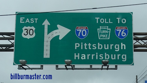
A BGS on WB I-70/EB U.S. Rt. 30.

A set of guide markers on WB I-70/EB U.S. Rt. 30.

A guide marker on WB I-70/EB U.S. Rt. 30.

A junction marker on WB I-70/EB U.S. Rt. 30.

A guide marker on EB I-70/WB U.S. Rt. 30.

A guide marker on WB I-70/EB U.S. Rt. 30.

A BGS on EB I-70/WB U.S. Rt. 30.
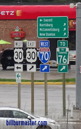
A set of guide markers on WB I-70.

EB I-70/76 west of Breezewood.

WB I-70/76 west of Breezewood.

WB I-70/76 near Brush Creek.

EB I-70/76 at Ritche Road.

EB I-70/76 east of Everett.

EB I-70/76 at Everett.

WB I-70/76 near Everett.

EB I-70/76 west of Everett.

EB I-70/76 near Ashcom.

EB I-70/76 near Lutzville Road.

EB I-70/76 near Lutzville Road.

EB I-70/76 east of the Midway Service Plazas.

EB I-70/76 near the Midway Service Plazas.

EB I-70/76 east of Bedford.

WB I-70/76 at Bedford.

EB I-70/76 east of I-99/U.S. Rt. 220.

WB I-70/76 east of I-99/U.S. Rt. 220.

EB I-70/76 west of I-99/U.S. Rt. 220.

WB I-70/76 west of I-99/U.S. Rt. 220.

EB I-70/76 near Diehl Road.

EB I-70/76 near Manns Choice.

EB I-70/76 near the Shawnee Branch of the Juniata River.

EB I-70/76 near Spicer Brook.

EB I-70/76 at Cider Road.

WB I-70/76 at the Bedford/Somerset County Line.

WB I-70/76 at St. John the Baptist Church at New Baltimore.

WB I-70/76 at St. John the Baptist Church at New Baltimore.

EB I-70/76 east of New Baltimore.
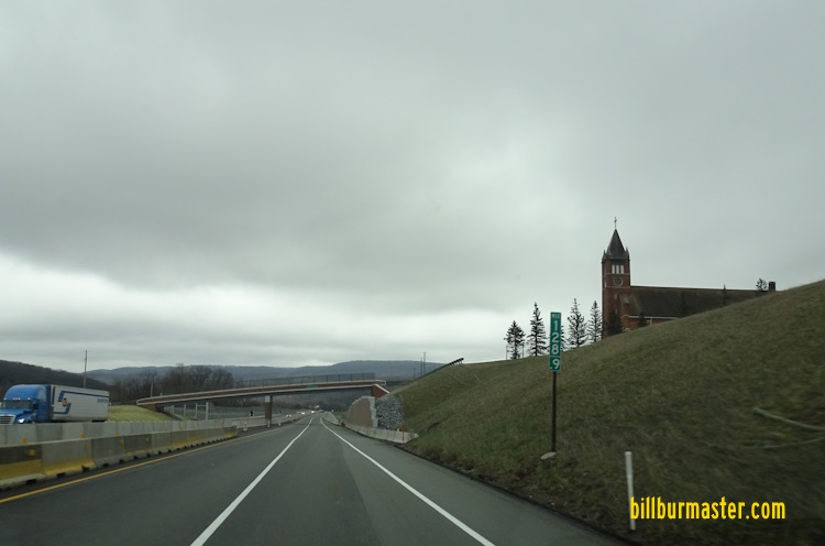
EB I-70/76 at New Baltimore.

EB I-70/76 at New Baltimore.

EB I-70/76 near Three Lick Run.

WB I-70/76 at an old alignment of the highway.

EB I-70/76 near Wambaugh Hollow Road.

EB I-70/76 along the Raytown Branch of the Juniata River.

EB I-70/76 along the Raytown Branch of the Juniata River.

EB I-70/76 along the Raytown Branch of the Juniata River.

EB I-70/76 east of the Allegheny Tunnel.

WB I-70/76 near the Allegheny Tunnel.

WB I-70/76 at the Allegheny Tunnel.

WB I-70/76 in the Allegheny Tunnel.

EB I-70/76 in the Allegheny Tunnel.

EB I-70/76 at the Allegheny Tunnel.

EB I-70/76 west of the Allegheny Tunnel.

WB I-70/76 west of the Allegheny Tunnel.

WB I-70/76 near PA St Rt 160.

EB I-70/76 near Brotherton Road.

WB I-70/76 east of the North Somerset Travel Plaza.

EB I-70/76 at U.S. Rt. 219.

A BGS on NB U.S. Rt. 219.

EB I-70/76 west of U.S. Rt. 219.

WB I-70/76 west of the North Somerset Travel Plaza.

EB I-70/76 west of Somerset.

WB I-70/76 east of Somerset.

EB I-70/76 at Somerset.
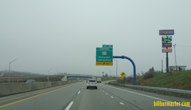
EB I-70/76 at U.S. Rt. 219.

A BGS on the ramp from PA St Rt 601.

A guide marker on NB PA St Rt 601.

A junction marker on NB PA St Rt 601.

A set of guide markers on SB PA St Rt 601.

WB I-70/76 west of Somerset.

WB I-70/76 west of Somerset.
EB I-70/76 west of Somerset.

EB I-70/76 east of Zimmerman.

EB I-70/76 near Zimmerman.

EB I-70/76 west of Zimmerman.

EB I-70/76 west of Coxes Creek Road.

EB I-70/76 east of the Laurel Highlands Hiking Trail.

EB I-70/76 at the Laurel Highlands Hiking Trail.

EB I-70/76 west of the Laurel Highlands Hiking Trail.

EB I-70/76 east of PA St Rt 381.

EB I-70/76 east of PA St Rt 31/711.

WB I-70/76 east of Donegal.

A BGS at the Donegal Interchange.

A guide marker on WB PA St Rt 31/711.

EB I-70/76 west of Donegal.

WB I-70/76 west of Donegal.

EB I-70/76 near Jacobs Creek.

EB I-70/76 near Jacobs Creek.

EB I-70/76 east of PA St Rt 982.

EB I-70/76 at PA St Rt 981.

EB I-70/76 east of PA St Rt 819.

EB I-70/76 at PA St Rt 819.

EB I-70/76 at Sportsmen Road.

EB I-70/76 east of PA St Rt 66.

WB I-70/76 near New Stanton.

EB I-70/76 east of U.S. Rt. 119.
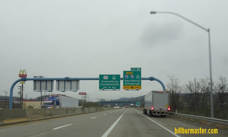
A BGS on EB I-70.

WB I-76 at west I-70.
| CONTINUE TO: |
| EASTBOUND: | WESTBOUND: |
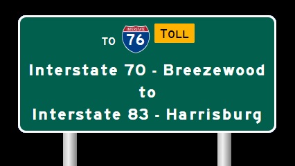 | 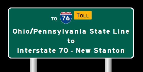 |