U.S. Federal Route 25E is a north-south highway in highway in Eastern Claiborne County. It runs from the Claiborne/Grainger County Line, near Thorn Hill, to the Kentucky/Tennessee State Line, at Cumberland Gap. U.S. Rt. 25E passes through the following towns in Claiborne County. Tazewell
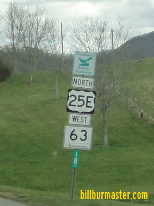
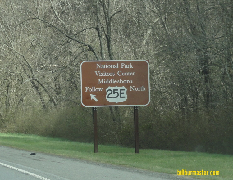
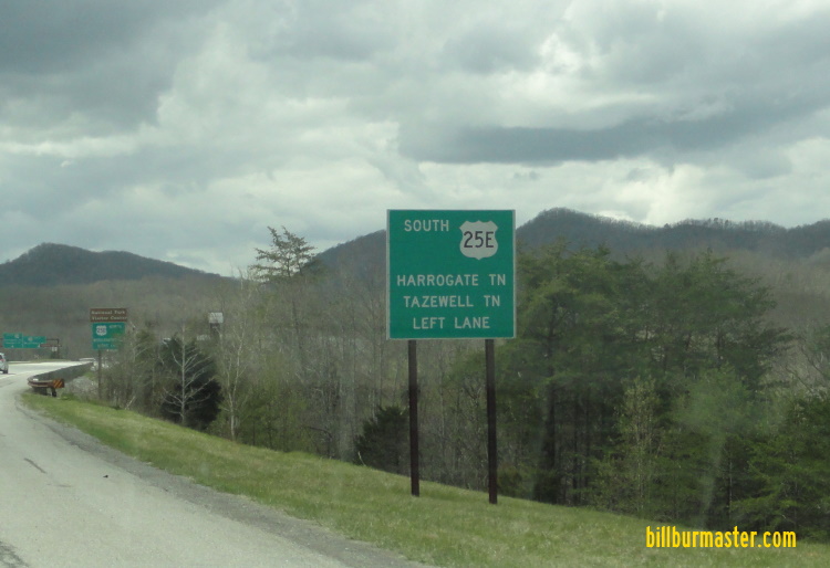
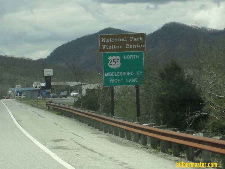
NB U.S. Rt. 25E/TN St Rt 32 at the Claiborne/Grainger County Line. NB U.S. Rt. 25E/TN St Rt 32 near Upper Caney Valley Road. NB U.S. Rt. 25E/TN St Rt 32; SB TN St Rt 33 north of north TN St Rt 33. NB U.S. Rt. 25E/TN St Rt 32; SB TN St Rt 33 near Little Sycamore Road. NB U.S. Rt. 25E/TN St Rt 32; SB TN St Rt 33 south of Tazewell. NB U.S. Rt. 25E/TN St Rt 32 north of TN St Rt 345. NB U.S. Rt. 25E/TN St Rt 32 north of Tazewell. NB U.S. Rt. 25E/TN St Rt 32 near Anders Road. NB U.S. Rt. 25E/TN St Rt 32 near Bacchus Road. NB U.S. Rt. 25E/TN St Rt 32 near Highland View Road. NB U.S. Rt. 25E/TN St Rt 32 south of Powell River. NB U.S. Rt. 25E/TN St Rt 32 at Powell River. NB U.S. Rt. 25E/TN St Rt 32 south of east TN St Rt 63. NB U.S. Rt. 25E/TN St Rt 32 south of Harrogate. NB U.S. Rt. 25E/TN St Rt 32; WB TN St Rt 63 north of Forge Ridge Road. NB U.S. Rt. 25E/TN St Rt 32; WB TN St Rt 63 at west TN St Rt 63. NB U.S. Rt. 25E/TN St Rt 32 north of west TN St Rt 63. A tunnel warning sign for the Cumberland Gap Tunnel. A tunnel warning sign for the Cumberland Gap Tunnel. NB U.S. Rt. 25E/TN St Rt 32 near Westmoreland Street. NB U.S. Rt. 25E/TN St Rt 32 near St. Johns Place. NB U.S. Rt. 25E/TN St Rt 32 near Nettleton Road. A guide sign on NB U.S. Rt. 25E/TN St Rt 32. Looking south from Pinnacle Point at Cumberland Gap National Park. U.S. Rt. 25E/TN St Rt 32 runs vertical from top-to-bottom. A close up of the interchange between U.S. Rt. 25E/TN St Rt 32 and U.S. Rt. 58/TN St Rt 383. NB U.S. Rt. 25E/TN St Rt 32 at U.S. Rt. 58/TN St Rt 383. A BGS on SB U.S. Rt. 58/TN St Rt 383. A BGS on SB U.S. Rt. 58/TN St Rt 383. SB U.S. Rt. 25E/TN St Rt 32 at the Tennessee Welcome Sign. SB U.S. Rt. 25E/TN St Rt 32 at the Tennessee Welcome Sign. NB U.S. Rt. 25E/TN St Rt 32 north of U.S. Rt. 58/TN St Rt 383. NB U.S. Rt. 25E/TN St Rt 32 south of the Cumberland Gap Tunnel. NB U.S. Rt. 25E/TN St Rt 32 at the Cumberland Gap Tunnel. NB U.S. Rt. 25E/TN St Rt 32 in the Cumberland Gap Tunnel.