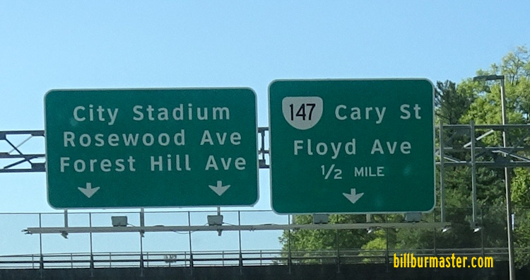
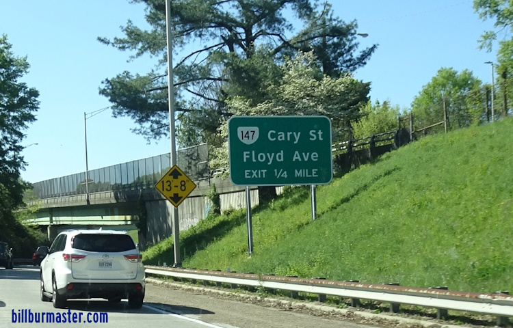
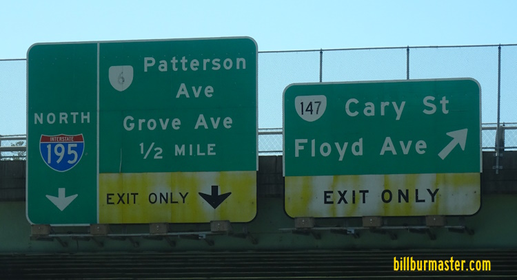
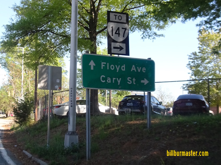
Virginia State Route 147 runs in two different sections with in the City of Richmond. It runs from the Chesterfield County/City of Richmond Line, near Lewis G Laurels Park, to the City of Richmond/Henrico County Line, at the James River, near the Huguenot Flatwater-James River Park System. After briefly running through Henrico County, VA St Rt 147 runs east west back into Richmond and heads into Downtown Richmond to it's end point at U.S. Rt. 60/360; TRUCK U.S. Rt. 60. VA St Rt 147 is multi-plexed in the City of Richmond. U.S. Rt. 60, at Richmond. VA St Rt 147 intersects the following highways in the City of Richmond. Virginia State Route 150, at Richmond. Virginia State Route 197, at Richmond. Interstate 195, at Richmond. Virginia State Route 161, at Richmond. U.S. Rt. 1, at Richmond. U.S. Rt. 301, at Richmond. U.S. Rt. 60, at Richmond. U.S. Rt. 60, at Richmond. U.S. Rt. 360, at Richmond. TRUCK U.S. Rt. 60, at Richmond.
A BGS on WB VA St Rt 195. A BGS on WB VA St Rt 195. A BGS on NB I-195. A guide marker in Richmond. WB VA St Rt 147 at I-195.