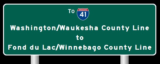
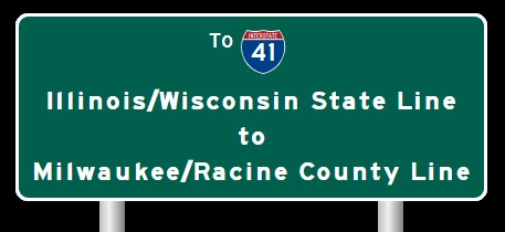
 | Interstate 41 Milwaukee/Racine County Line to Washington/Waukesha County Line |

NB I-41/U.S. Rt. 41; WB I-94 at the Racine/Milwaukee County Line. (September, 2018)

NB I-41/U.S. Rt. 41; WB I-94 at the Racine/Milwaukee County Line. (September, 2024)

NB I-41/U.S. Rt. 41; WB I-94 at Elm Road.

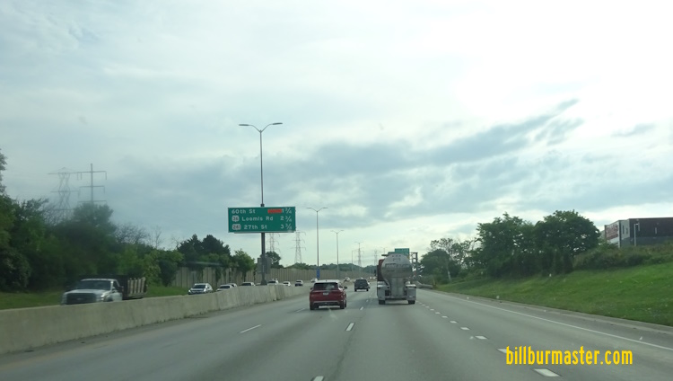
NB I-41/U.S. Rt. 41; WB I-94 south of WI St Rt 100.

NB I-41/U.S. Rt. 41l WB I-94 at WI St Rt 100.

A junction marker on WB WI St Rt 100.

A BGS on WB WI St Rt 100.

A BGS on WB WI St Rt 100.

A BGS on WB WI St Rt 100.

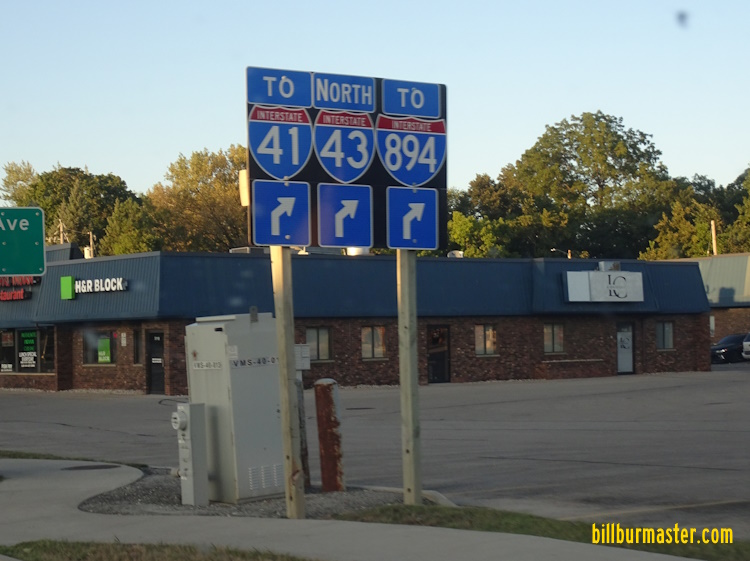
A BGS on NB I-41/U.S. Rt. 41; WB I-94.

NB I-41/U.S. Rt. 41; WB I-94 south of Drexel Ave.

NB I-41/U.S. Rt. 41; WB I-94 at Drexel Ave.

NB I-41/U.S. Rt. 41; WB I-94 south of Rawson Ave. in Milwaukee.

SB I-41/U.S. Rt. 41; EB I-94 near Rawson Ave. in Milwaukee.

SB I-41/U.S. Rt. 41; EB I-94 near College Ave. in Milwaukee.

NB I-41/U.S. Rt. 41; WB I-94 at College Ave.

NB I-41/U.S. Rt. 41; WB I-94 at WI St Rt 119.

NB I-41/U.S. Rt. 41; WB I-94 at WI St Rt 119.

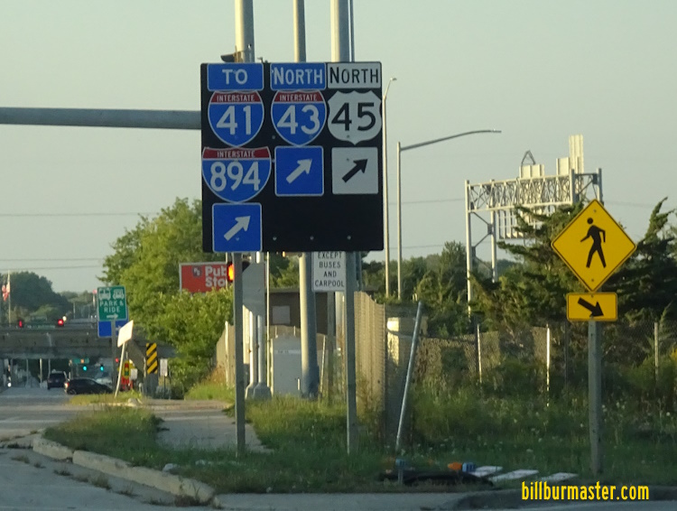
A BGS on NB I-41/U.S. Rt. 41; WB I-94.

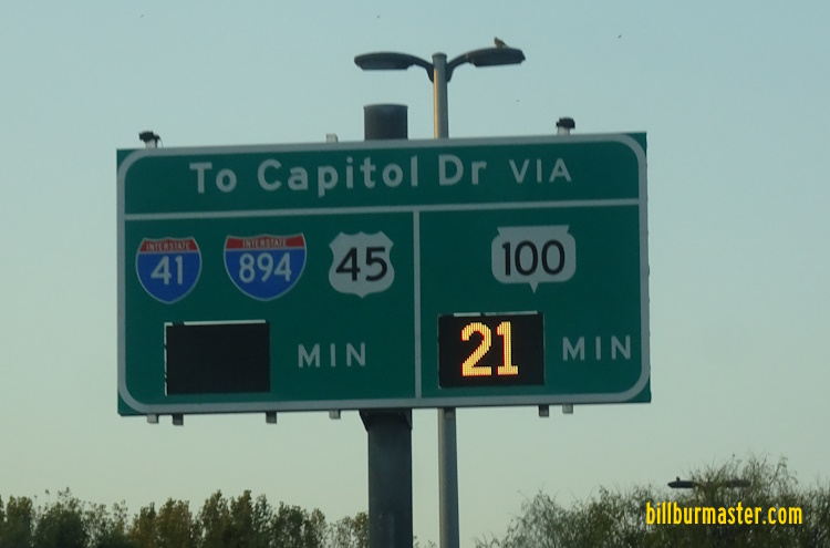
A BGS on NB I-41/U.S. Rt. 41; WB I-94.

NB I-41/U.S. Rt. 41; WB I-94 at Layton Ave.

SB I-41/U.S. Rt. 41; NB I-43; EB I-894 at 68th Street in Greenfield.

SB I-41/U.S. Rt. 41; NB I-43; EB I-894 at 92nd Street in Greenfield.
SB I-41/U.S. Rt. 41; NB I-43; EB I-894 at 92nd Street in Greenfield.

A BGS on NB I-43.

A BGS on NB I-43.
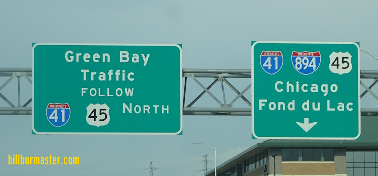
A set of guide markers on NB U.S. Rt. 45/WI St Rt 100.
A guide marker on NB U.S. Rt. 45/WI St Rt 100.

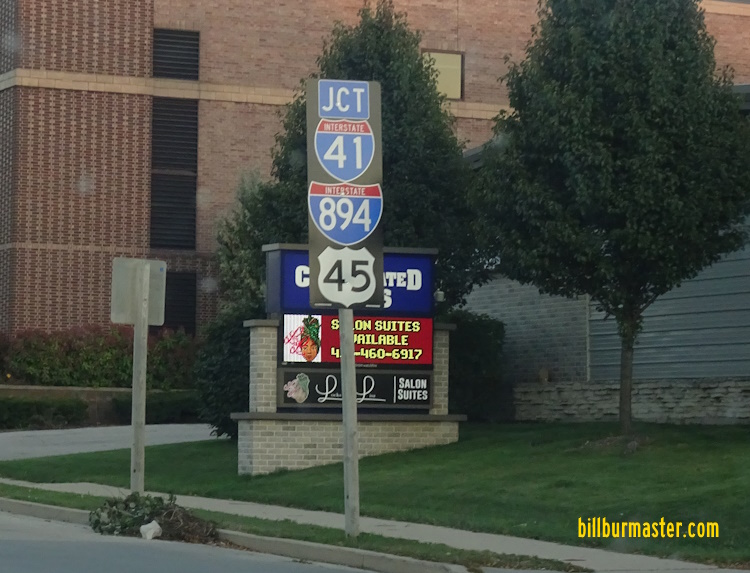
A BGS on NB U.S. Rt. 45/WI St Rt 100.

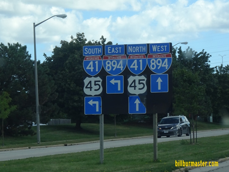
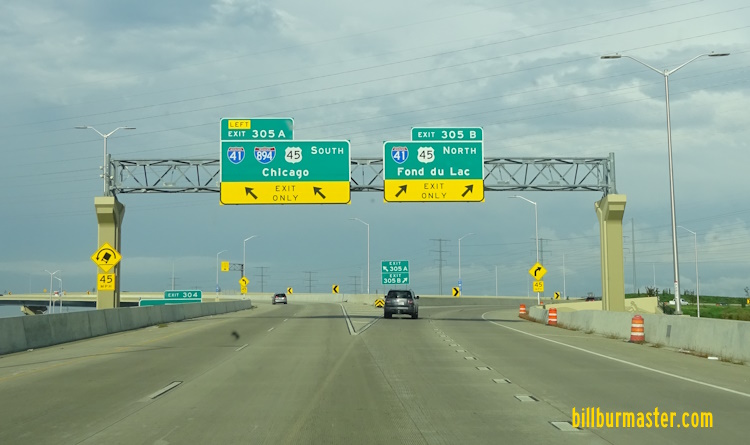
NB I-41/U.S. Rt. 41-45; WB I-894 north of I-43.
A BGS on NB WI St Rt 100.

SB I-41/U.S. Rt. 41-45; EB I-894 near Oklahoma Ave. in Greenfield.
A guide marker on Lincoln Ave.

SB I-41/U.S. Rt. 41-45; EB I-894 at Lincoln Ave. in West Allis.

SB I-41/U.S. Rt. 41-45; EB I-894 at National Ave.

SB I-41/U.S. Rt. 41-45; EB I-894 north of Lincoln Ave. in West Allis.

SB I-41/U.S. Rt. 41-45; EB I-894 north of Lincoln Ave.
A junction marker on EB WI St Rt 59.
A guide sign on EB WI St Rt 59.

SB I-41/U.S. Rt. 41-45; EB I-894 south of I-94 in West Allis.

SB I-41/U.S. Rt. 41-45; EB I-894 south of I-94.

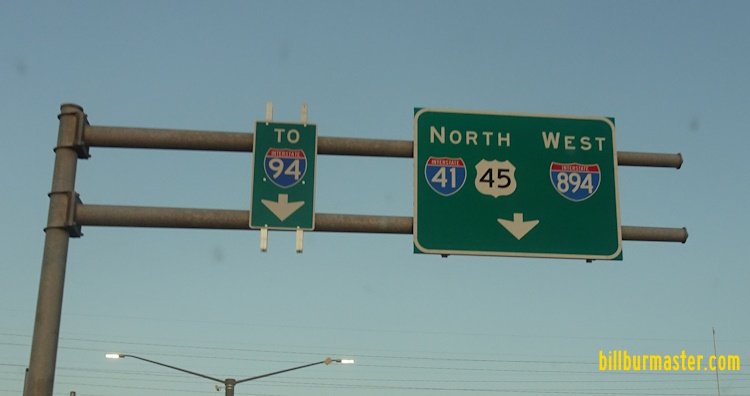
A BGS on WB I-94.
A BGS on WB I-94.
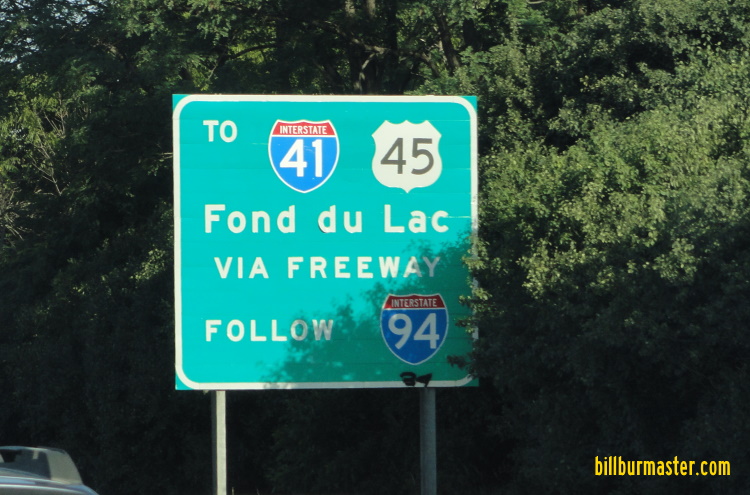
A BGS on WB I-94.
A BGS on WB I-94.

SB I-41; U.S. Rt. 41/45 at I-94/894.

SB I-41; U.S. Rt. 41/45 near U.S. Rt. 18.

SB I-41; U.S. Rt. 41/45 at Watertown Plank Road.

SB I-41; U.S. Rt. 41/45 near Watertown Plank Road.

SB I-41; U.S. Rt. 41/45 south of North Ave.

SB I-41; U.S. Rt. 41/45 at North Ave.

NB I-41; U.S. Rt. 41/45 near Center Street in Brookfield.

SB I-41; U.S. Rt. 41/45 south of Burleigh Street.

NB I-41; U.S. Rt. 41/45 south of WI St Rt 190.

SB I-41/U.S. Rt. 41-45 south of Capital Dr.

SB I-41/U.S. Rt. 41-45 north of Capital Drive.

NB I-41; U.S. Rt. 41/45 at the Menomonee River.

NB I-41; U.S. Rt. 41/45 south of Silver Springs Drive.

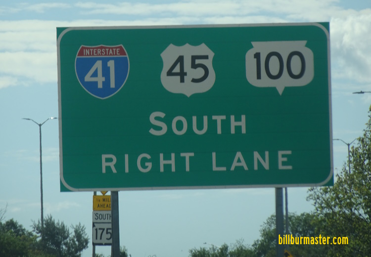
SB I-41/U.S. Rt. 41-45/WI St Rt 100 north of Silver Springs.

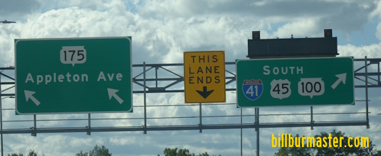
NB I-41/U.S. Rt. 41-45/WI St Rt 100 south of WI St Rt 175.

NB I-41/U.S. Rt. 41-45/WI St Rt 100 south of WI St Rt 175.
A BGS on SB WI St Rt 175.
A BGS on SB WI St Rt 175.

NB I-41/U.S. Rt. 41-45/WI St Rt 100 north of WI St Rt 175.

NB I-41/U.S. Rt. 41-45/WI St Rt 100 north of WI St Rt 175.

NB I-41/U.S. Rt. 41-45/WI St Rt 100 at Good Hope.

NB I-41/U.S. Rt. 41-45/WI St Rt 100 north of WI St Rt 145.

NB I-41/U.S. Rt. 41-45/WI St Rt 100 at Main Street-Menomonee Falls.

NB I-41/U.S. Rt. 41-45 north of north WI St Rt 100.

NB I-41/U.S. Rt. 41-45 at Pilgram Road.

NB I-41/U.S. Rt. 41-45 north of Pilgram Road.

NB I-41/U.S. Rt. 41-45 north of Pilgram Road.

A junction marker on County Line Road.
| CONTINUE TO: |
| NORTHBOUND: | SOUTHBOUND: |
 |  |