 | Interstate 294 Interstate 80/94 - Illinois 394 to Interstate 55 | 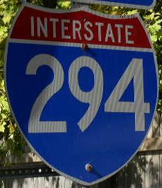 |  |

NB I-294 near I-55.

SB I-294 south of I-55.

NB I-294 north of 75th.

SB I-294 south of 75th.

SB I-294 north of U.S. Rt. 12/20/45.

A BGS on EB U.S. Rt. 12/20; SB U.S. Rt. 45.

A BGS on WB 79th Street.

A BGS on SB IL St Rt 171.

A BGS on EB U.S. Rt. 12/20; SB U.S. Rt. 45.

A BGS on EB U.S. Rt. 12/20; SB U.S. Rt. 45.

SB I-294 at IL St Rt 171.

A BGS on NB U.S. Rt. 12/45; WB U.S. Rt. 20.

NB I-294 north of U.S. Rt. 12/20.

A BGS on WB U.S. Rt. 12/20.

BGS on WB U.S. Rt. 12/20.

SB I-294 at U.S. Rt. 12/20.

A guide marker on NB IL St Rt 43.

SB I-294 south of U.S. Rt. 12/20.

SB I-294 near Oak Lawn.

A guide marker in Oak Lawn.

A junction marker on SB IL St Rt 50.

A BGS on SB IL St Rt 50.

A BGS at the IL St Rt 50 interchange.
A junction marker on NB IL St Rt 50/83.
A guide marker on NB IL St Rt 50/83.

SB I-294 at IL St Rt 50/83.

SB IL St Rt 294 at IL St Rt 50/83.

NB I-294 at IL St Rt 50.

SB I-294 south of IL St Rt 50/83.

NB I-294 south of IL St Rt 50.

NB I-294 in Alsip.

SB I-294 near Robbins.

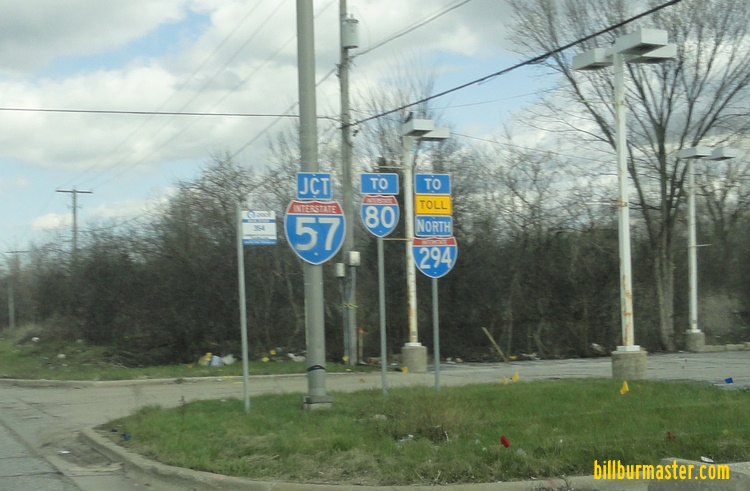
SB I-294 at I-57.

SB I-294 at I-57. (April, 2021)

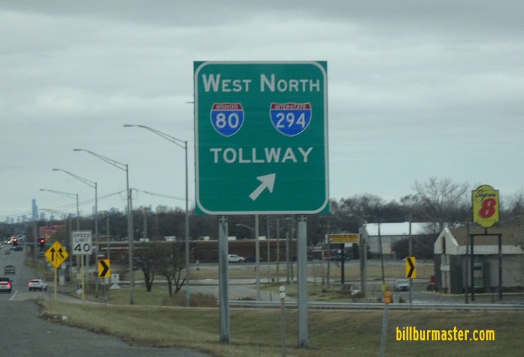
A BGS on EB I-80.

A BGS on NB I-57.

A BGS on NB I-57. (October, 2019)

A BGS on NB I-57. (August, 2018)

A BGS on NB I-57. (August, 2018)

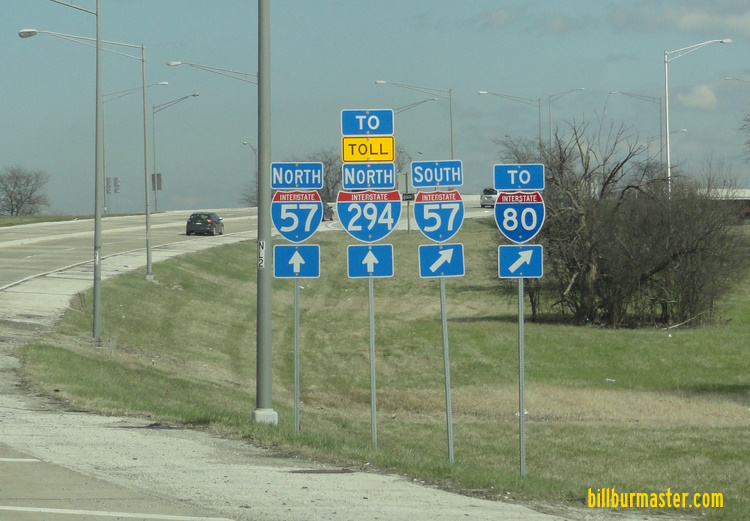
NB I-294 at I-57.

A BGS on SB I-57.

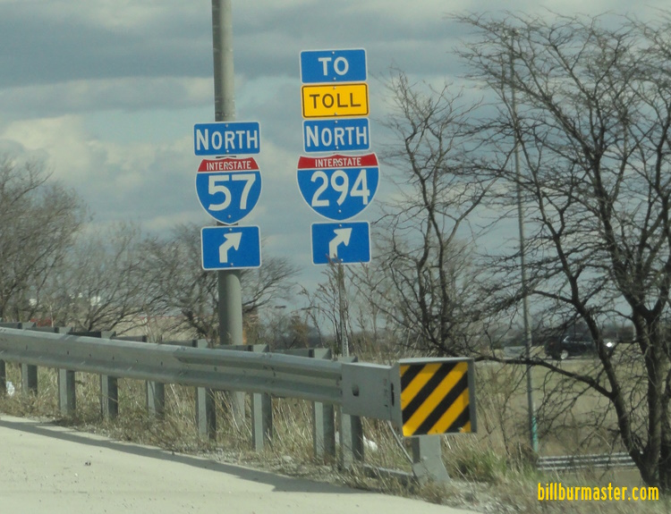
SB I-294 south of I-57. (August, 2018)

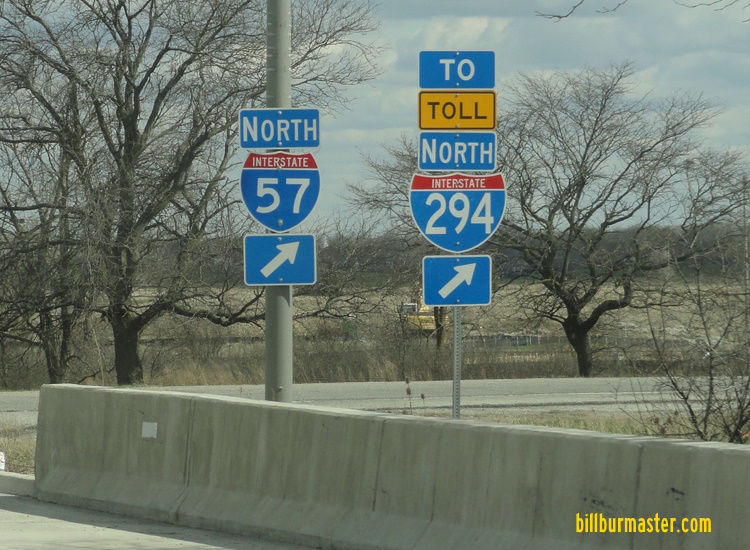
A BGS on NB I-57. (April, 2022)
A BGS on NB I-57. (April, 2022)

A junction marker on EB U.S. Rt. 6.


BGS's at the ramps from EB U.S. Rt. 6 to I-294.
A junction marker on EB 167th Street.
A set of guide markers on EB 167th Street.
A guide marker on EB 167th Street.
A guide marker on EB 167th Street.

A set of guide markers on WB 167th Street at I-57.

A set of guide markers on WB 167th Street at I-57.

NB I-294 at U.S. Rt. 6.

NB I-294 south of U.S. Rt. 6.

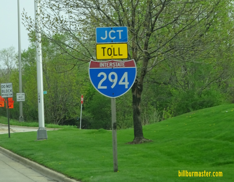
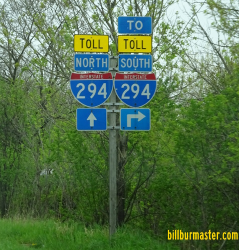
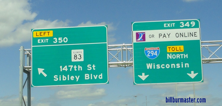
A guide sign on NB I-294.

SB I-294 at 163rd Street.

SB I-294 at 171st Street.

SB I-294 near Dixie Highway.

A BGS on SB Dixie Highway.

A mileage chart east of I-355 on I-80.

A BGS on EB I-80.

A BGS in Harvey.

EB I-80/SB I-294 at IL St Rt 1

A junction marker on NB IL St Rt 1.

A junction marker on SB IL St Rt 1.

A set of markers on SB IL St Rt 1.

A BGS on SB IL St Rt 1.

A junction marker on NB IL St Rt 1.

A junction marker on NB IL St Rt 1.

A junction marker on NB IL St Rt 1.

A BGS on NB IL St Rt 1.
A BGS on NB IL St Rt 1.

A guide marker on NB IL St Rt 1.

WB I-80/NB I-294 at IL St Rt 1.

EB I-80/SB I-294 east of IL St Rt 1.

SB I-294 at a quarry near the Lincoln Oasis.

WB I-80/NB I-294 at the Lincoln Oasis.

EB I-80/SB I-294 west of the Lincoln Oasis.

EB I-80/SB I-294 at the Lincoln Oasis. (2004)

EB I-80/SB I-294 at the Lincoln Oasis.

WB I-80/NB I-294 at the Lincoln Oasis. (September, 2006)

WB I-80/NB I-294 at the Lincoln Oasis. (May, 2021)

A guide sign on WB I-80/NB I-294.

A guide marker on WB I-94.

A BGS on EB I-94.

A BGS on EB I-94.

A BGS on SB IL St Rt 394.

A BGS on NB IL St Rt 394.

A BGS on NB IL St Rt 394.

A BGS on NB IL St Rt 394.

A guide marker on NB IL St Rt 83.

A junction marker on EB U.S. Rt. 6/SB IL St Rt 83.

A guide marker on EB U.S. Rt. 6/SB IL St Rt 83.

A guide marker on EB U.S. Rt. 6/SB IL St Rt 83.

A guide marker on NB IL St Rt 83.

A BGS on EB I-94.

A BGS on WB I-80/94; U.S. Rt. 6.

WB I-80/NB I-294 west of I-94/IL St Rt 394.

This is the southern end point of I-294. EB I-80 keeps heading west.

End I-294 sign at I-94/80; IL St Rt 394 in South Holland.

The southern end of I-294 at South Holland. (July, 2007)

A close-up of the end marker. (July, 2007)

EB I-80/SB I-294 at the "0" mile marker for the Tri-State Tollway and I-294. (Sept., 2007)

The southern end of I-294. (September, 2010)

The southern end marker. (September, 2010)
| CONTINUE TO: |
| NORTHBOUND: | SOUTHBOUND: | SOUTHBOUND: |
 |  |  |