Interstate 39 Marshall/La Salle County Line to Interstate 90-Rockford
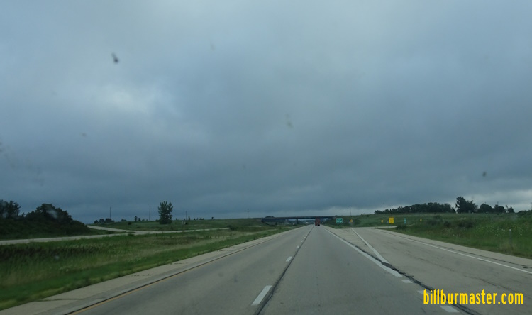
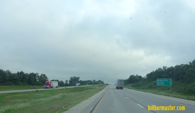
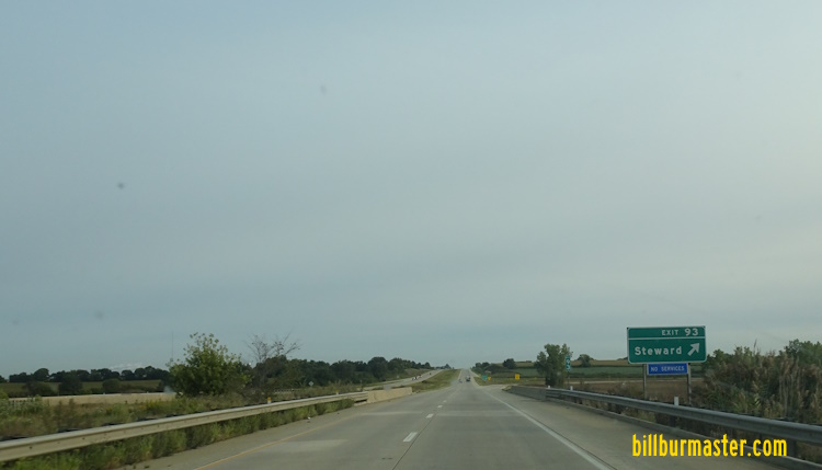
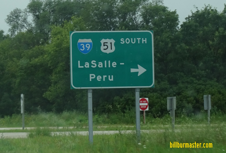
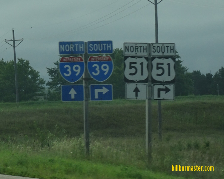
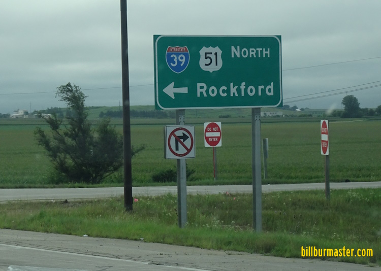
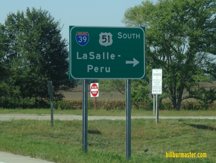
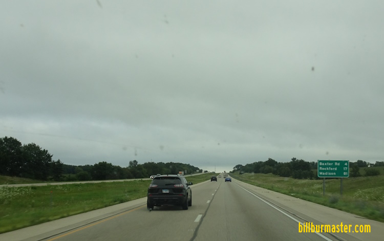
NB I-39/U.S. Rt. 51 at the La Salle/Marshall County Line. NB I-39 in Rural La Salle County. NB I-39/U.S. Rt. 51 north of IL St Rt 18. SB I-39/U.S. Rt. 51 south of Tonica. NB I-39/U.S. Rt. 51 near Tonica. SB I-39/U.S. Rt. 51 south of Oglesby. SB I-39/U.S. Rt. 51 south of Oglesby. A guide marker on WB IL St Rt 71. A guide marker on EB U.S. Rt. 6/NB IL St Rt 351. A set of guide markers on EB U.S. Rt. 6. A guide marker on SB IL St Rt 251. A BGS on WB I-80. A BGS on EB I-80. NB guide markers north of I-80. NB I-39/U.S. Rt. 51 north of I-80. NB I-39/U.S. Rt. 51 north of La Salle-Peru. SB I-39/U.S. Rt. 51 north of La Salle-Peru. SB I-39/U.S. Rt. 51 south of Troy Grove. A junction marker on EB U.S. Rt. 52. A guide marker on EB U.S. Rt. 52. A BGS on EB U.S. Rt. 52. NB I-39/U.S. Rt. 51 at U.S. Rt. 52. NB I-39/U.S. Rt. 51 north of U.S. Rt. 52. SB I-39/U.S. Rt. 51 south of U.S. Rt. 34. A guide marker on EB U.S. Rt. 52/SB IL St Rt 251. NB I-39/U.S. Rt. 51 at U.S. Rt. 34. NB I-39/U.S. Rt. 51 north of U.S. Rt. 34. NB I-39/U.S. Rt. 51 at the La Salle/Lee County Line. SB I-39/U.S. Rt. 51 at the La Salle/Lee County Line. SB I-39/U.S. Rt. 51 south of Paw Paw. SB I-39/U.S. Rt. 51 near Paw Paw. NB I-39/U.S. Rt. 51 at Paw Paw. NB I-39/U.S. Rt. 51 north of Paw Paw. NB I-39/U.S. Rt. 51 north of U.S. Rt. 30. NB I-39/U.S. Rt. 51 north of U.S. Rt. 30. SB I-39/U.S. Rt. 51 south of Steward. NB I-39/U.S. Rt. 51 at Steward. A BGS east of Steward. A BGS near Steward. NB I-39/U.S. Rt. 51 north of Steward. SB I-39/U.S. Rt. 51 at the Lee/Ogle County Line. NB I-39/U.S. Rt. 51 at the Lee/Ogle County Line. NB I-39/U.S. Rt. 51 at the Lee/Ogle County Line. A BGS on EB I-88. A BGS on WB I-88/IL St Rt 110. NB I-39/U.S. Rt. 51 at IL St Rt 38. A junction marker on EB IL St Rt 38. A set of guide markers on WB IL St Rt 38. A set of guide markers on EB IL St Rt 38. A BGS on EB IL St Rt 38. A guide BGS on WB IL St Rt 38. NB I-39/U.S. Rt. 51 north of IL St Rt 38. NB I-39/U.S. Rt. 51 south of IL St Rt 64. NB I-39/U.S. Rt. 51 north of IL St Rt 64. SB I-39/U.S. Rt. 51 south of IL St Rt 72. A BGS on WB IL St Rt 72. NB I-39/U.S. Rt. 51 north of IL St Rt 72. SB I-39/U.S. Rt. 51 at the Ogle/Winnebago County Line. NB I-39/U.S. Rt. 51 at the Ogle/Winnebago County Line. SB I-39/U.S. Rt. 51 south of Baxter Road. NB I-39/U.S. Rt. 51 north of Baxter Road. NB I-39/U.S. Rt. 51 in Southern Winnebago County. SB I-39/U.S. Rt. 51 south of U.S. Rt. 20. Interstate 39/U.S. Rt. 51 at U.S. Rt. 20, Rockford. Prior to 2023. Diagram of the interchange on the Southside of Rockford. A BGS on NB I-39/U.S. Rt. 51. A guide marker on NB I-39/U.S. Rt. 51. NB I-39/U.S. Rt. 51 one mile from U.S. Rt. 20. NB I-39/U.S. Rt. 51 near U.S. Rt. 20. NB I-39/U.S. Rt. 51 at U.S. Rt. 20. NOTE: Look at the SB lanes (on the left) see the "ghost" ramp. The ramp from EB U.S. Rt. 20 to SB I-39/U.S. Rt. 51. Traffic from SB I-39/U.S. Rt. 51 merges from the left. A closer look at the "ghost" ramp from the picture above. A BGS on SB I-39/U.S. Rt. 51; WB U.S. Rt. 20. WB U.S. Rt. 20 at SB I-39/U.S. Rt. 51. A BGS on NB I-39/U.S. Rt. 51. A BGS on NB I-39/U.S. Rt. 51. A BGS on NB I-39/U.S. Rt. 51. A guide marker on NB I-39/U.S. Rt. 51. A BGS on SB I-39/U.S. Rt. 51; WB U.S. Rt. 20. A set of guide markers on SB IL St Rt 251. A BGS on WB U.S. Rt. 20. A BGS on EB U.S. Rt. 20. NB I-39/U.S. Rt. 51/EB U.S. Rt. 20 at Cherry Valley.