Interstate 80 Bureau/La Salle County Line to the Grundy/Will County Line
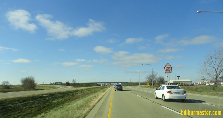
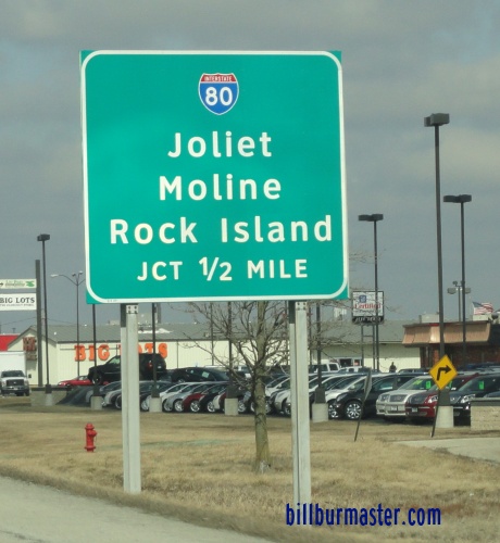
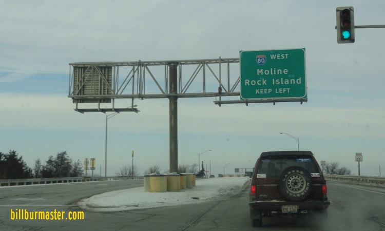
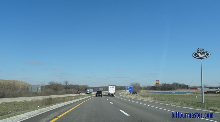
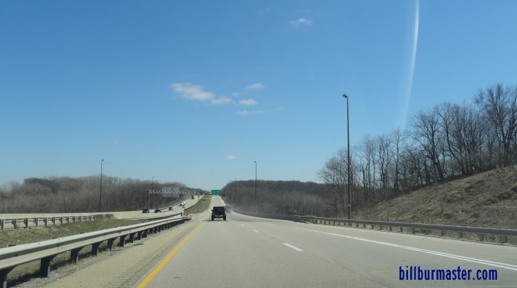
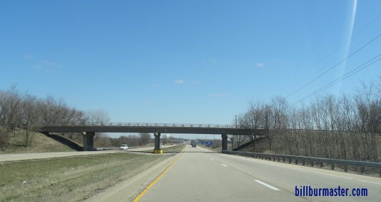
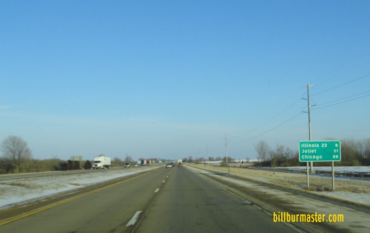
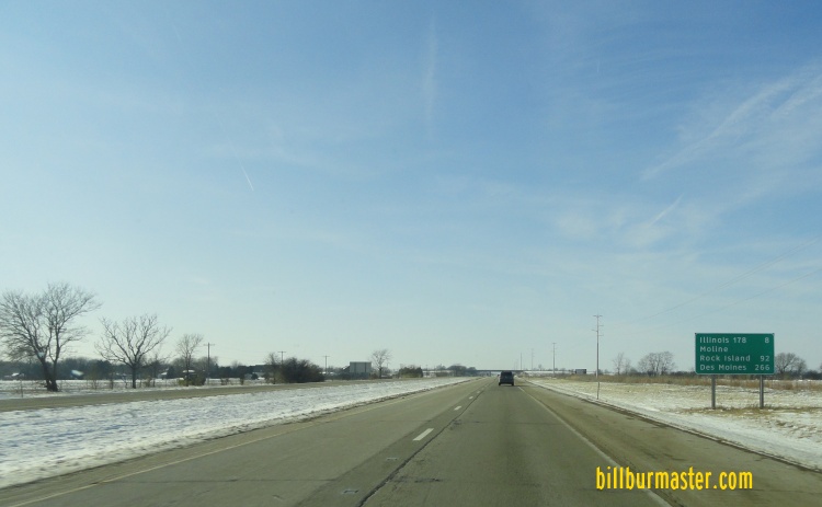
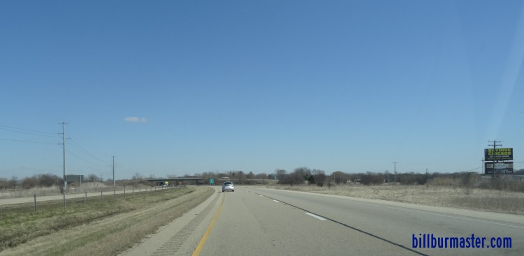
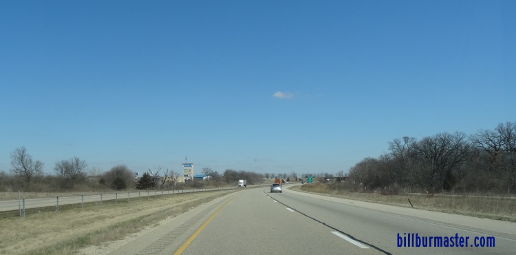
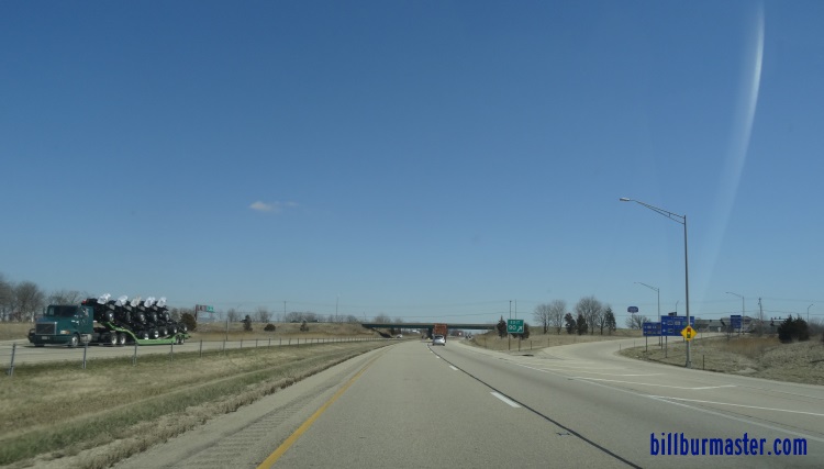
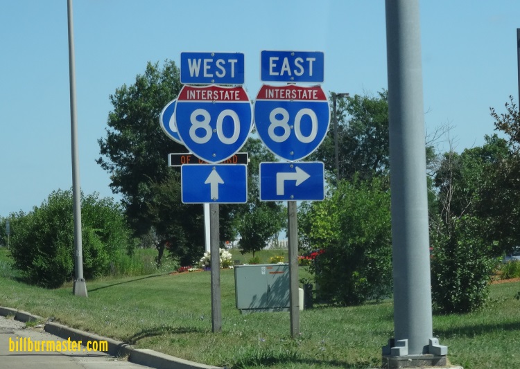
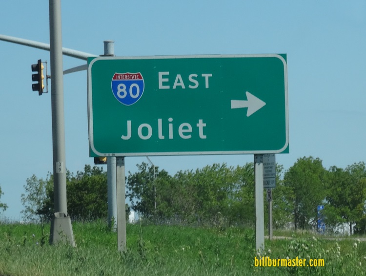
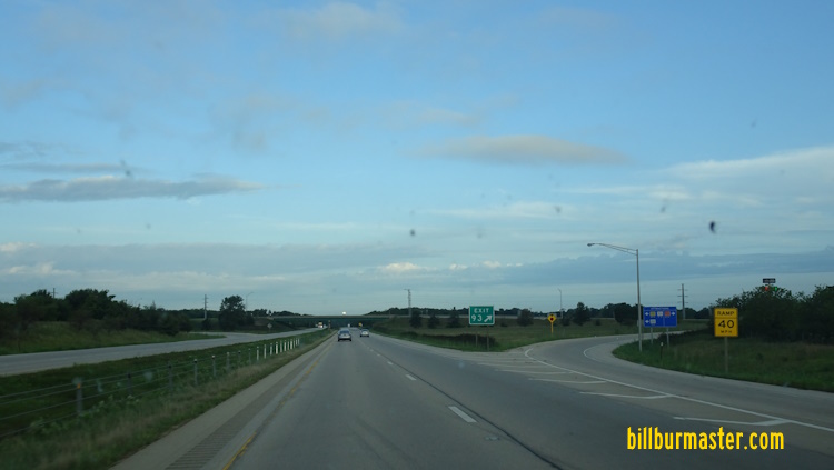
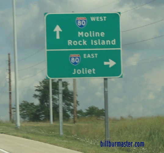
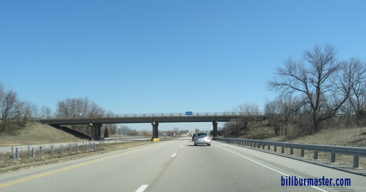
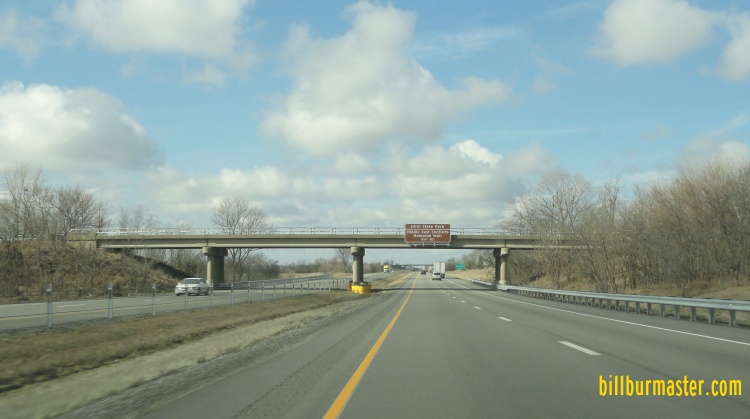
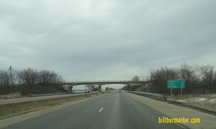
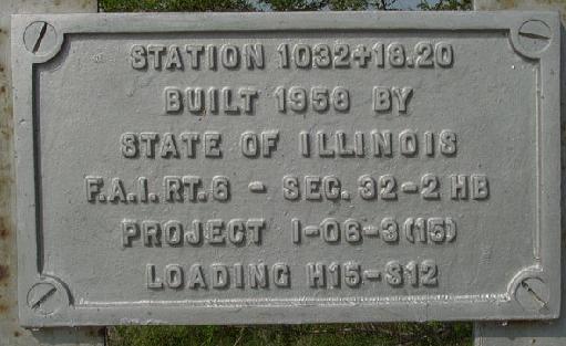
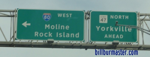
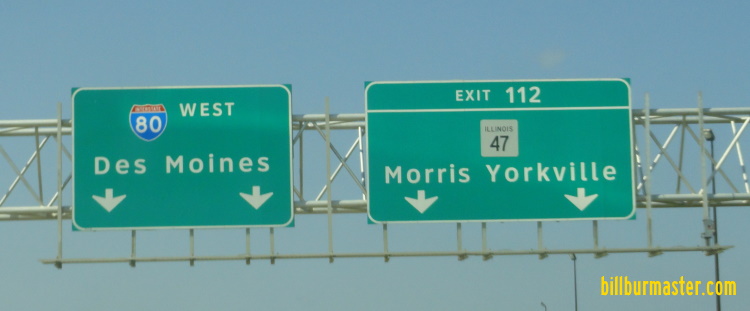
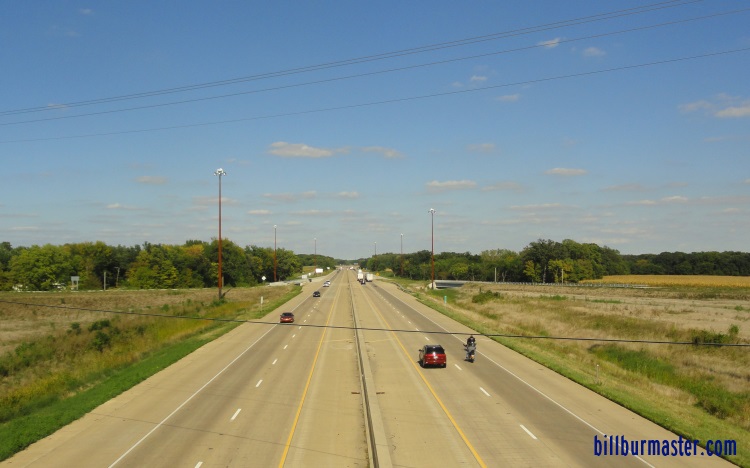
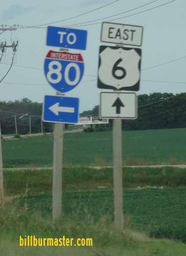
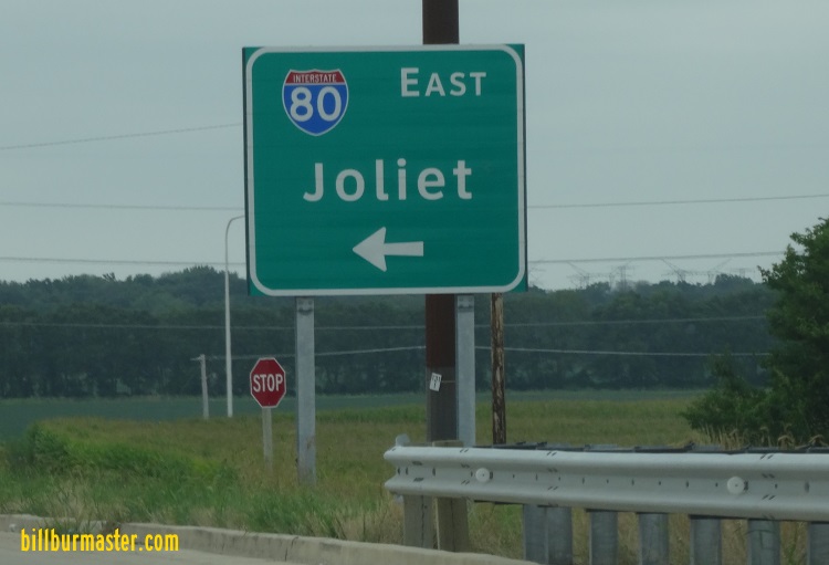
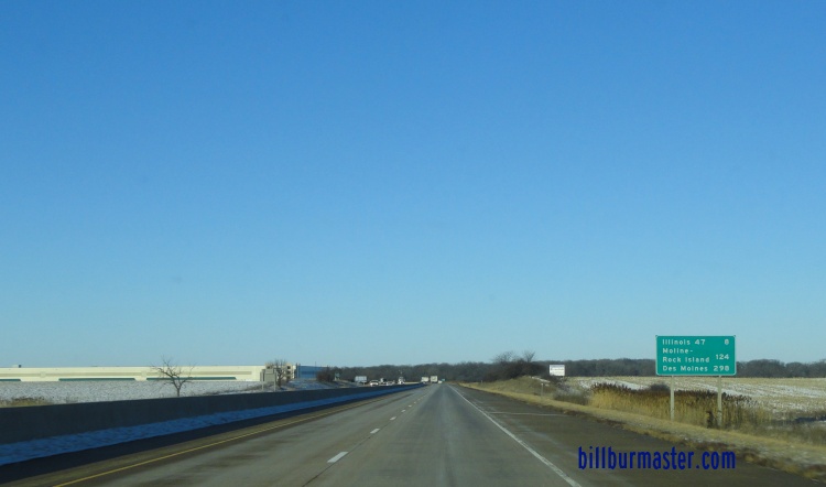
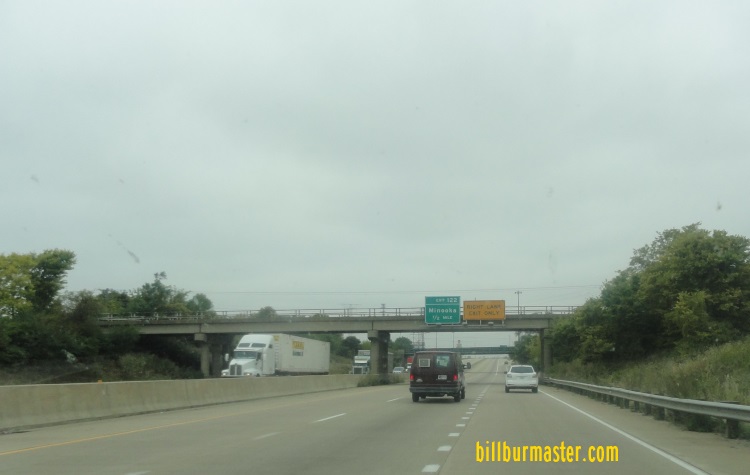
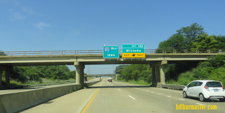
EB I-80 at the Bureau/La Salle County Line. WB I-80 at Plank Road in Peru. EB I-80 at Peru. A BGS on NB IL St Rt 251. A BGS on NB IL St Rt 251. A BGS on NB IL St Rt 251. A guide marker on SB IL St Rt 251. WB I-80 east of IL St Rt 251. EB I-80 west of IL St Rt 351. A guide marker on NB IL St Rt 351. EB I-80 east of IL St Rt 351. WB I-80 east of IL St Rt 351. A BGS on NB I-39/U.S. Rt. 51. EB I-80 east of I-39/U.S. Rt. 51. EB I-80 west of IL St Rt 178. A guide marker on NB IL St Rt 178. EB I-80 east of IL St Rt 178. A sign for a test area west of Ottawa. (2002) The sign for the test sign near Ottawa. (August, 2006) The markers on the only remeaning test loop west of Ottawa. (January, 2007). WB I-80 west of Ottawa. A EB guide marker. WB I-80 near Ottawa, west of IL St Rt 23. EB I-80 west of Ottawa. EB I-80 west of IL St Rt 23. EB I-80 at IL St Rt 23. A set of guide markers on NB IL St Rt 23. A BGS on NB IL St Rt 23. EB I-80 east of IL St Rt 23. WB I-80 west of IL St Rt 71. WB I-80 at IL St Rt 71. WB I-80 at IL St Rt 71. WB I-80 between the Marseilles exit and IL St Rt 71. A BGS at the Marseilles exit. EB I-80 east of the Marseilles exit. WB I-80 east of the Marseilles exit. WB I-80 at E29th Road. Looking east along I-80 at the La Salle/Grundy County Line. WB I-80 at the La Salle/Grundy County Line. EB I-80 at the La Salle/Grundy County Line. A guide marker at the Seneca exit. EB I-80 east of the Seneca exit. WB I-80 1 mile west of Morris, IL. Plaque from the Shabonna Road overpass at I-80 near Morris, IL. This dates this bridge to 1958. EB I-80 at the Ashton Road overpass in Morris. This is what most original bridges along I-80 look like. WB I-80 west of IL St Rt 47. EB I-80 near IL St Rt 47 at Morris. A BGS on NB IL St Rt 47. A set of BGS on NB IL St Rt 47. A BGS on SB IL St Rt 47. A set of BGS on SB IL St Rt 47. A BGS on WB I-80. WB I-80 near IL St Rt 47 at Morris. EB I-80 east of Morris. EB I-80 at Brisbin Road. A guide marker on EB U.S. Rt. 6. A BGS on Brisbin Road. A guide marker on EB I-80. EB I-80 2 miles west of Minooka (Summer 2003) WB I-80 at the rest area west of Minooka. WB I-80 near the rest area east of Morris. WB I-80 at the Kendall/Grundy County Line. WB I-80 west of Minooka. A guide marker in Minooka. EB I-80 west of the Minooka exit. WB I-80 at Minooka. WB I-80 at Minooka. A BGS on Ridge Road in Minooka. A BGS on NB Ridge Road in Minooka. WB I-80 at Ridge Road in Minooka. WB I-80 near Wabena Ave in Minooka. WB I-80 near Wabena Ave in Minooka. WB I-80 at the Will/Kendall County Line.