 | Interstate 80 Grundy/Will County Line to the Illinois/Indiana State Line |  |

EB I-80 at the Grundy/Kendall/Will County Line.
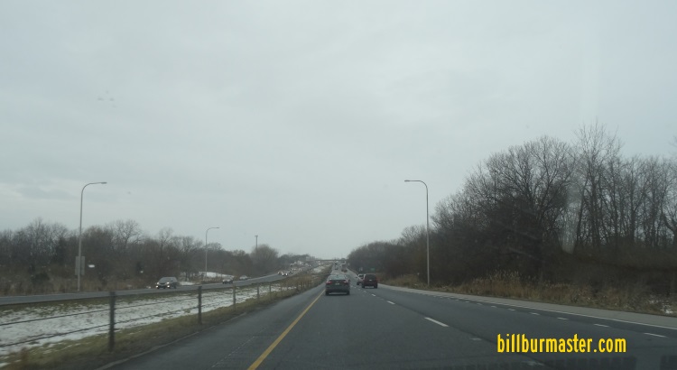
WB I-80 west of I-55.

A set of guide markers in Wilmington.

A construction warning sign on NB I-55.

A construction warning sign on NB I-55.

A construction warning sign on NB IL St Rt 47.

A construction warning sign on NB IL St Rt 47.

A construction sign on SB I-55.

A guide marker south of Lorenzo Road near Wilmington.

A guide marker south of Lorenzo Road near Wilmington.

A BGS on NB I-55.
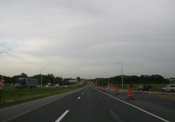
EB I-80 east of I-55.

A guide sign in Channahon.

A guide marker on EB U.S. Rt. 6.

A BGS on EB Arsenal Road.

A BGS on NB Baseline Road.

A set of guide markers on NB Baseline Road.

A junction marker on NB Holbolt Rd.

A BGS on Hoboult Road.

A set of guide markers on NB Holbolt Road.

A BGS on SB Holboult Road.

A BGS on NB Holboult Road.

A BGS on NB Holboult Road.
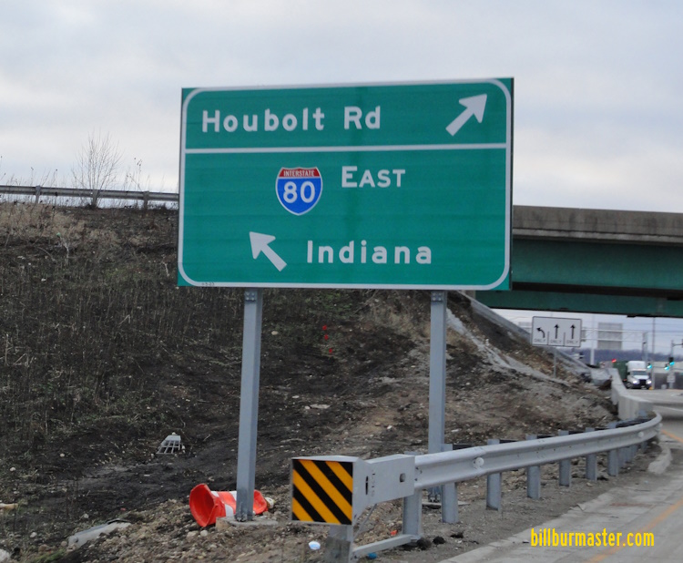
A BGS on SB Holboult Road.

EB I-80 west of IL St Rt 7.

WB I-80 west of IL St Rt 7.

WB I-80 west of IL St Rt 7.

EB I-80 at IL St Rt 7.

A juncion marker on NB IL St Rt 7.

A guide marker on NB IL St Rt 7.

A BGS on NB IL St Rt 7.

WB I-80 at Larkin Ave.

WB I-80 at Midland Ave.
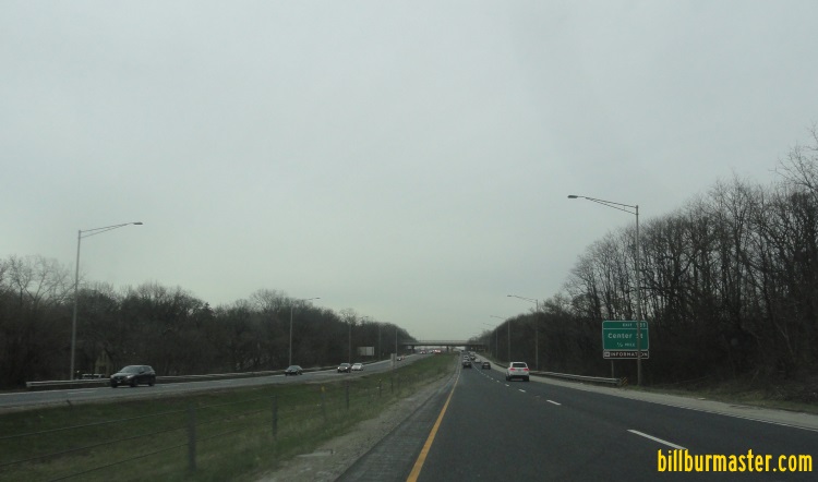
EB I-80 east of Midland Ave.

EB I-80 at Wheeler Ave.

WB I-80 at Wheeler Ave.

A BGS on EB I-80.

A BGS on EB I-80.

A BGS on EB I-80.

EB I-80 at Center Street.

A BGS on WB I-80.
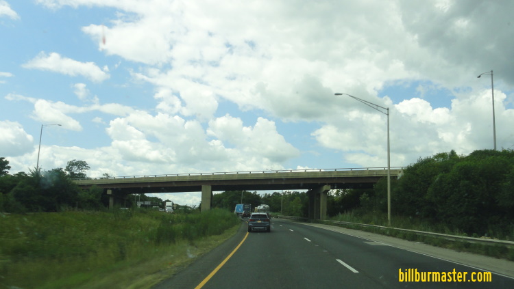
WB I-80 at Center Street.

A guide marker on Jefferson Street in Joliet.
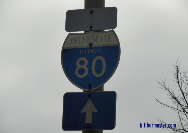
An old shield on SB Center Street in Joliet.

A guide marker on EB U.S. Rt. 30.

A BGS on Center Street.
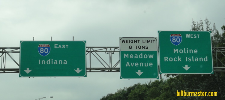
A BGS on SB Center Street.

A BGS on SB Center Street.

Looking east along I-80 from the Center Street interchange.
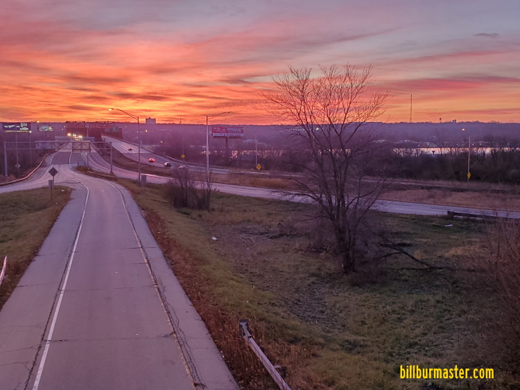
Looking east along I-80 from the Center Street interchange.

WB I-80 at Center Street. (April, 2012)
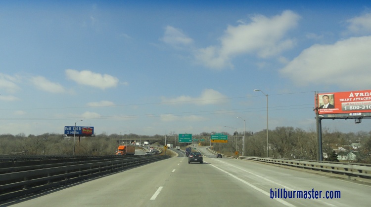
WB I-80 at Center Street.
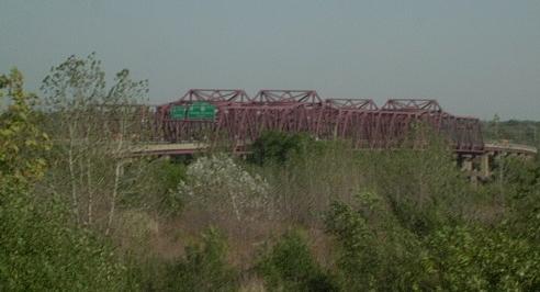
Looking east at the I-80 bridge over the Des Plaines River south of downtown Joliet from Meadows Ave. in Rockdale.
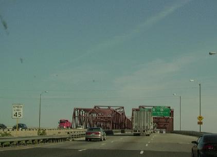
EB I-80 near the Des Plaines River Bridge at Joliet.

EB I-80 at the Des Plaines River Bridge.
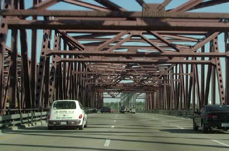
EB I-80 crossing the Des Plaines River Bridge at Joliet.

WB I-80 at the Des Plaines River.

EB I-80 at the Des Plaines River.

A BGS on WB I-80.

EB I-80 at U.S. Rt. 52/IL St Rt 53.
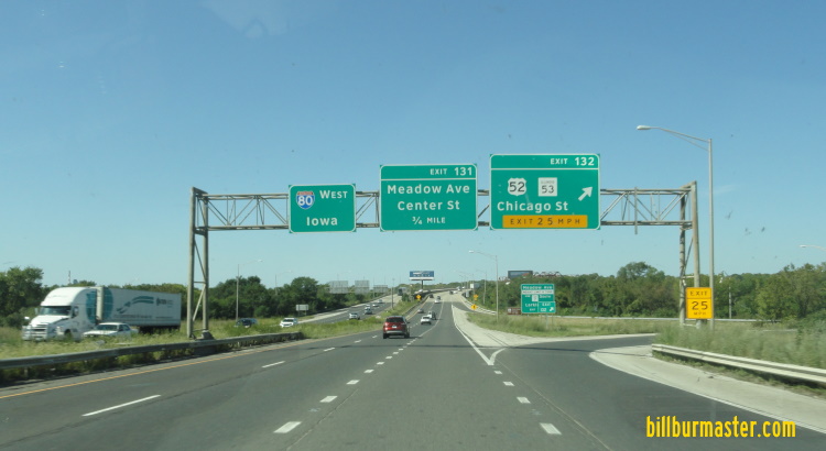
WB I-80 at U.S. Rt. 52/IL St Rt 53.

A junction marker on EB U.S. Rt. 52/SB IL St Rt 53.

A guide marker on EB U.S. Rt. 30.

A guide marker on WB U.S. Rt. 52/NB IL St Rt 53.

A set of guide markers on WB U.S. Rt. 52/NB IL St Rt 53.

A set of guide markers on WB U.S. Rt. 52/NB IL St Rt 53.
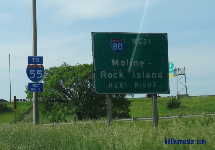
A set of guide markers on WB U.S. Rt. 52/NB IL St Rt 53.

A set of guide markers on WB U.S. Rt. 52/NB IL St Rt 53.

A set of guide markers on WB U.S. Rt. 52/NB IL St Rt 53.

A BGS on WB U.S. Rt. 52/NB IL St Rt 53.

EB I-80 at U.S. Rt. 52/IL St Rt 53.

EB I-80 at Richards Street.

A guide marker along Richards Street in Joliet.

A set of guide markers on SB Richards Street.

EB I-80 at Richards Street.

A BGS on Briggs Street in Joliet.

A set of guide markers on SB Briggs Street.
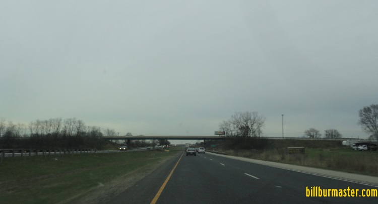
EB I-80 east of Briggs Street.

Looking west along I-80 from Gouger Road.

EB I-80 at Gourger Road.

EB I-80 west of U.S. Rt. 30. (April, 2018)

EB I-80 west of U.S. Rt. 30. (March, 2022)

A BGS on EB U.S. Rt. 30.
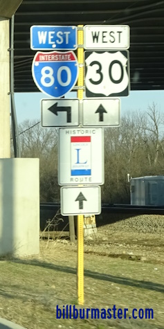
A guide marker on WB U.S. Rt. 30.

A guide sign on EB Laraway Road.

WB I-80 at U.S. Rt. 30.

A junction marker on WB U.S. Rt. 30.

A BGS on WB U.S. Rt. 30.
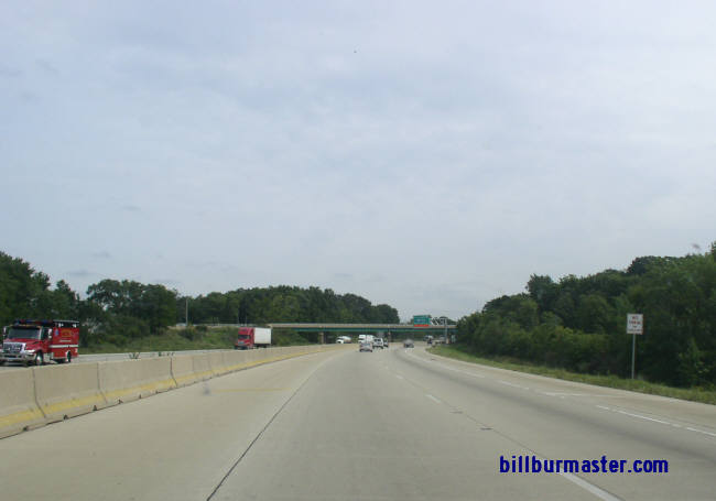
EB I-80 east of U.S. Rt. 30.

A construction sign on WB I-80. (June, 2021)

A BGS on EB U.S. Rt. 6.

WB I-80 west of I-355.

EB I-80 east of I-355.

WB I-80 west of U.S. Rt. 45.
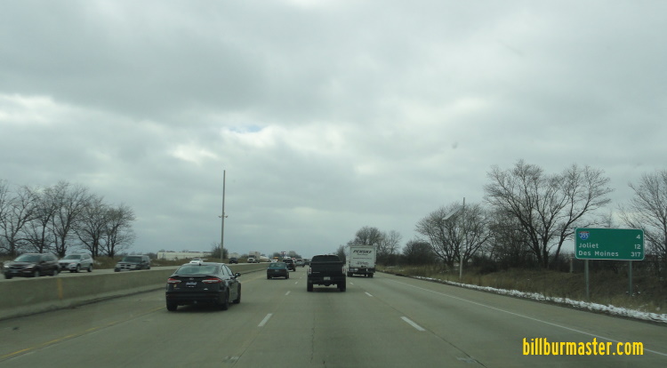
WB I-80 west of U.S. Rt. 45.

EB I-80 west of U.S. Rt. 45.

EB I-80 at U.S. Rt. 45 at Mokena

EB I-80 at U.S. Rt. 45.

A set of guide markers on NB U.S. Rt. 45.

A BGS on NB U.S. Rt. 45.

A BGS on NB U.S. Rt. 45.

A guide marker on EB Laraway Road.

A guide marker on EB Laraway Road.
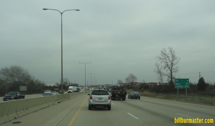
EB I-80 east of U.S. Rt. 45.
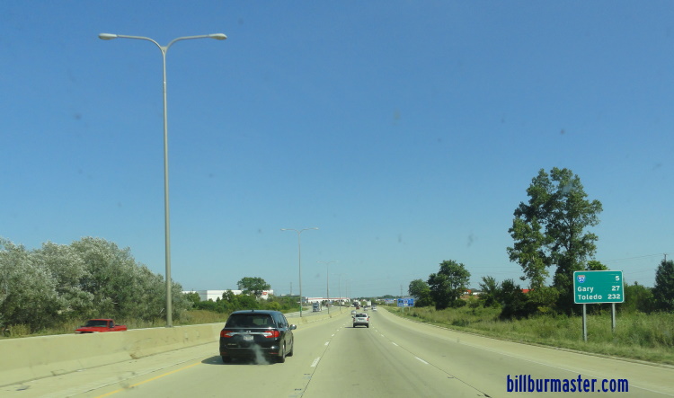
EB I-80 east of U.S. Rt. 45.

EB I-80 at the Metra-Rock Island Tracks near Mokena and Tinley Park.

A work zone sign on EB I-80 near Harlem Ave. This is a rare sign that labels the highway as the Kingery Expressway. (Sept., 2004)
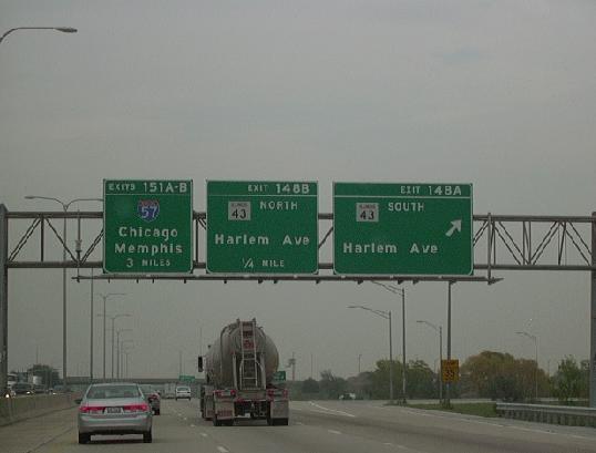
EB I-80 near IL St Rt 43 (Harlem Ave.) in Tinley Park.

WB I-80 at the Cook/Will County Line.

EB I-80 at the Cook/Will County Line.

A BGS on SB IL St Rt 43.

A BGS onn SB IL St Rt 43.

WB I-80 at IL St Rt 43.
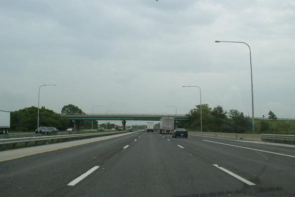
EB I-80 east of IL St Rt 43.

A BGS on NB I-57.

A guide marker on NB IL St Rt 50.
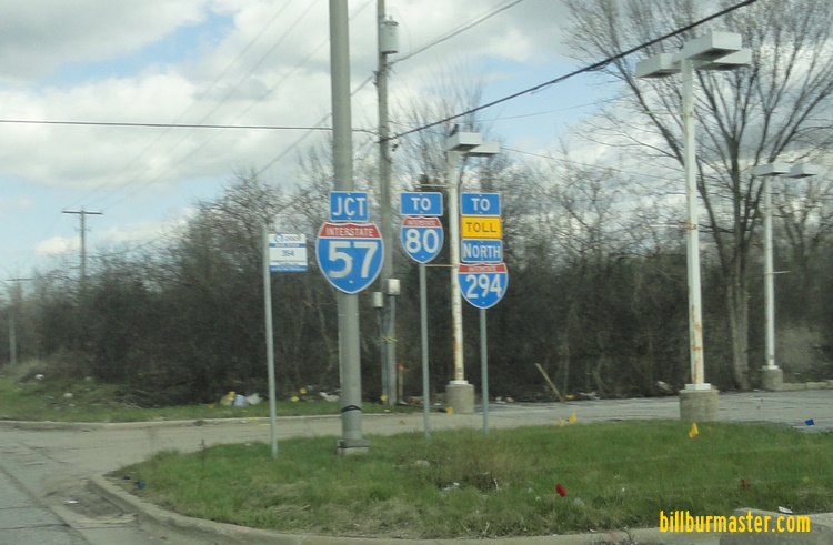
A junction marker on EB 167th Street.

A set of guide markers on WB 167th Street at I-57.

A set of guide markers on WB 167th Street at I-57.

EB I-80 east of I-57

EB I-80 east of I-57.
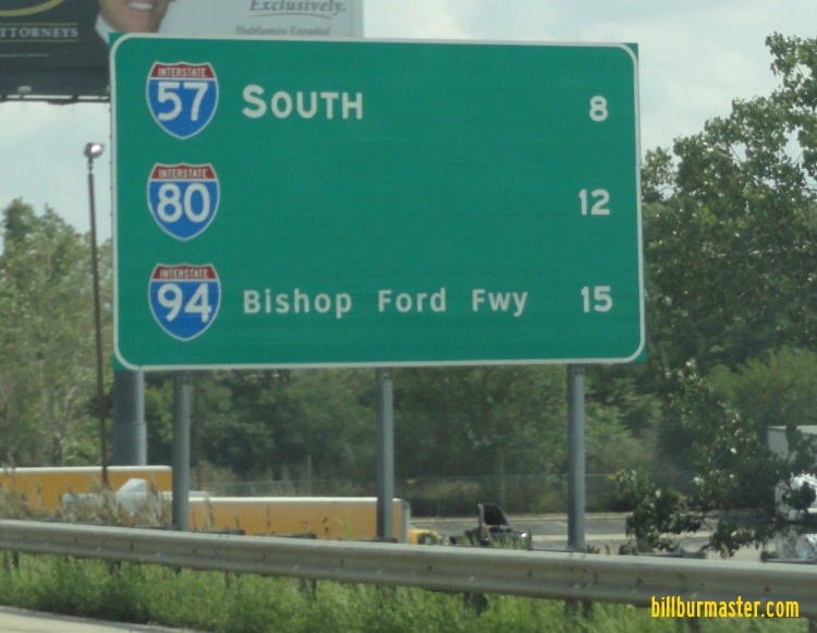
A BGS on SB I-294.

A BGS on SB I-294.
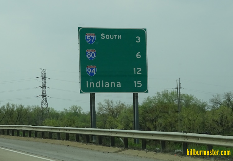
A BGS on SB I-294.

A BGS on NB I-57.

A WB guide marker on NB Kedzie Ave.

A guide marker in Markham.
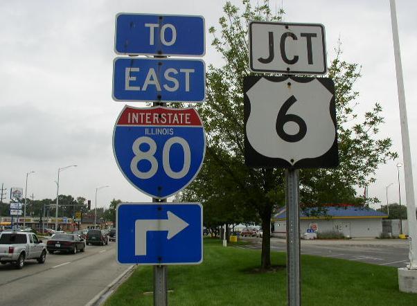
A guide marker on Kedzie Ave. at 159th Street (U.S. Rt. 6). (Sept. 2006)

WB I-80 west of I-294.

EB I-80 west of I-294.

EB I-80 merging with SB I-294 (Tri-State Tollway).

EB I-80 near I-294

A BGS on EB I-80.
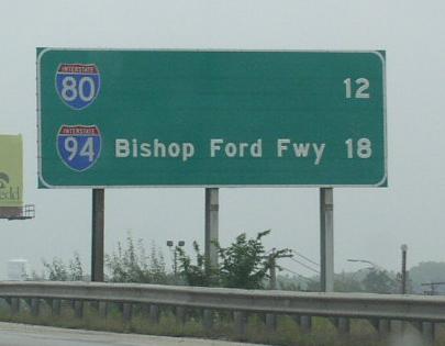
A mileage sign on SB I-294.

A BGS on SB Wood Street in Harvey.

EB I-80/SB I-294 (Tri-State Tollway) at Illinois State Route 1

A BGS on NB IL St Rt 1.

A junction marker on SB IL St Rt 1.

A set of markers on SB IL St Rt 1.

A BGS on SB IL St Rt 1.

A junction marker on NB IL St Rt 1.

A junction marker on NB IL St Rt 1.

A BGS on NB IL St Rt 1.
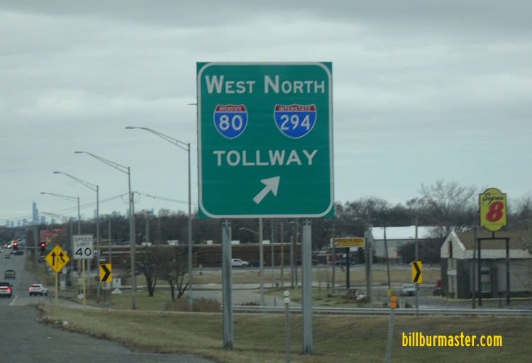
A BGS on NB IL St Rt 1.

A guide marker on NB IL St Rt 1.
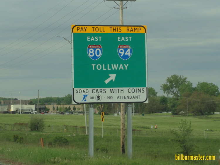
A BGS on SB IL St Rt 1.

WB I-80/NB I-294 at IL St Rt 1.

EB I-80/SB I-294 east of IL St Rt 1.

EB I-80/SB I-294 over a big quarry near the Lincoln Oasis.

WB I-80/NB I-294 west of the Lincoln Oasis.

EB I-80/SB I-294 west of the Lincoln Oasis.

EB I-80/SB I-294 at the Lincoln Oasis. (2004)

EB I-80/SB I-294 at the Lincoln Oasis.

WB I-80/NB I-294 at the Lincoln Oasis. (September, 2006)

WB I-80/NB I-294 at the Lincoln Oasis. (May, 2021)

WB I-80/NB I-294 west of I-94/IL St Rt 394.

EB I-80/SB I-294 at the "0" mile post for the Tri-State Tollway and I-294. (Sept., 2007)

The southern end of I-294. I-80 continues east. (September, 2010)

The southern end marker on I-294. I-80 continues east. (September, 2010)

A BGS on EB I-94.

A BGS on EB I-94.

A BGS on SB IL St Rt 394.

A guide marker on EB I-94.

WB I-80/94 at their split near South Holland.

A BGS on NB IL St Rt 394.
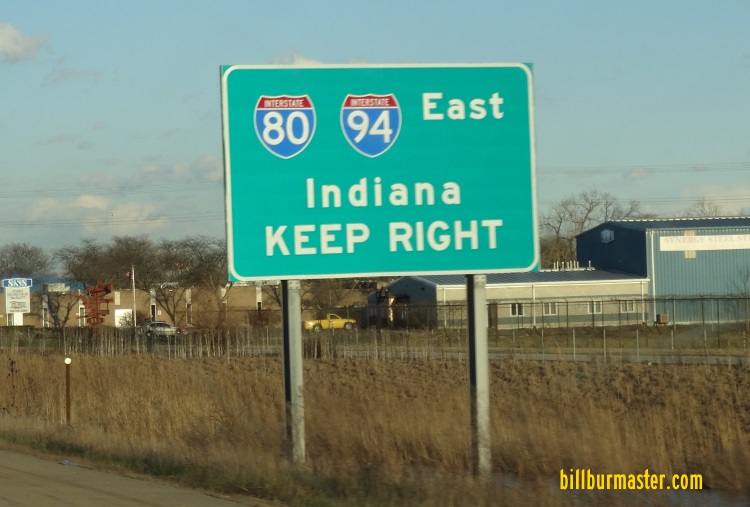
A BGS on NB IL St Rt 394.

A BGS on NB IL St Rt 394.

A BGS on NB IL St Rt 394.

A BGS on WB I-94.
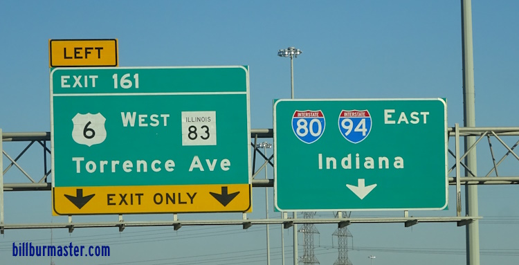
A BGS on EB I-94.

EB I-80 at U.S. Rt. 6/IL St Rt 83.
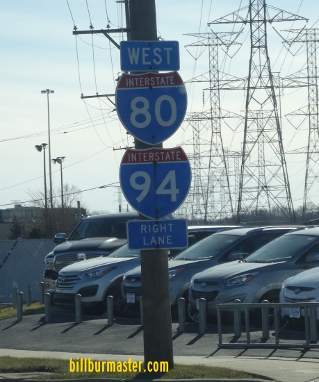
A guide marker on EB U.S. Rt. 6/SB IL St Rt 83.
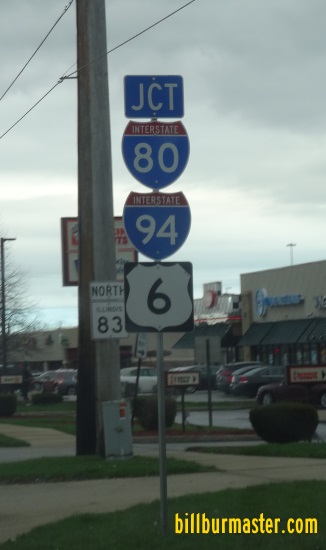
A junction marker on NB IL St Rt 83.

A guide marker on NB IL St Rt 83.
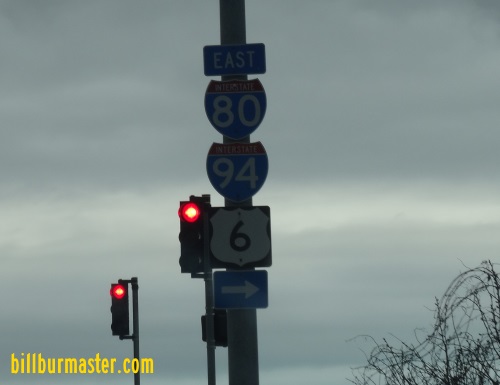
A guide marker on NB IL St Rt 83.
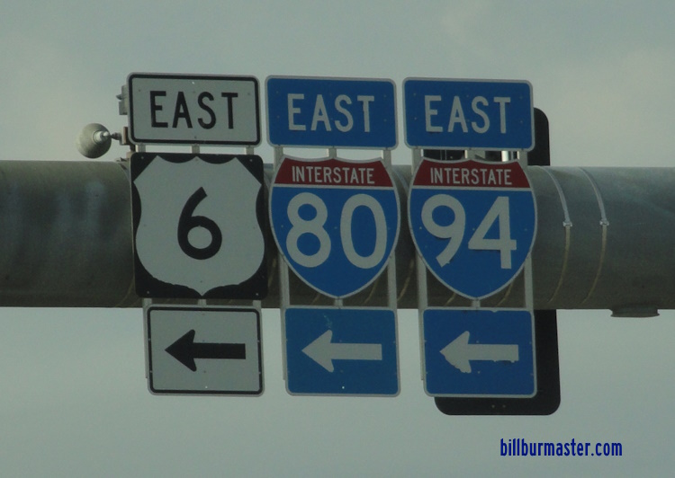
A set of guide markers on EB U.S. Rt. 6/SB IL St Rt 83.

A junction marker on EB U.S. Rt. 6/SB IL St Rt 83.

A guide marker on EB U.S. Rt. 6/SB IL St Rt 83.

A guide marker on EB U.S. Rt. 6/SB IL St Rt 83.
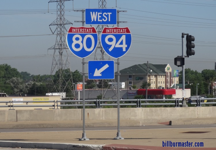
A guide marker on WB U.S. Rt. 6/NB IL St Rt 83.

A guide marker on NB IL St Rt 83.
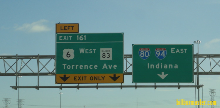
A BGS on EB I-80/94.
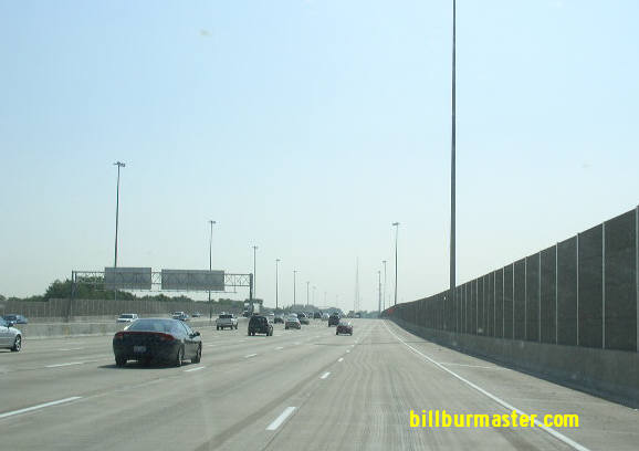
EB I-80/94; U.S. Rt. 6 in Lansing.

WB I-80 at U.S. Rt. 6/IL St Rt 83.

A mile marker on EB I-80.
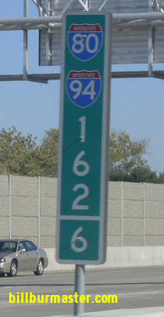
Another mile marker on EB I-80/94.
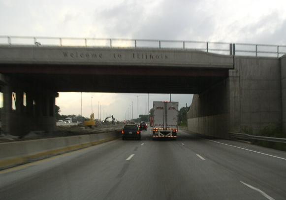
WB I-80/94; U.S. Rt. 6 at the Illinois/Indiana State Line. (2006)
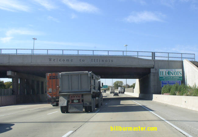
WB I-80/94; U.S. Rt. 6 at the Illinois/Indiana State Line. (Nov., 2007)
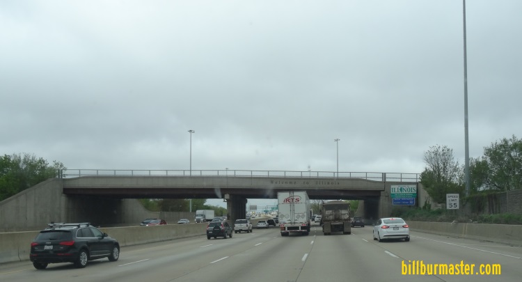
WB I-80/94; U.S. Rt. 6 at the Illinois/Indiana State Line. (April, 2017)
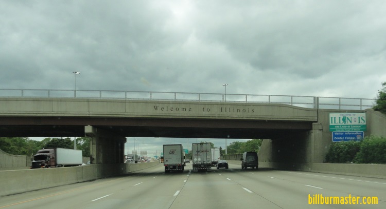
WB I-80/94; U.S. Rt. 6 at the Illinois/Indiana State Line. (May, 2019)
| CONTINUE TO: |
| WESTBOUND: | State of Indiana: |
 |  |