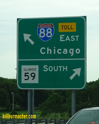
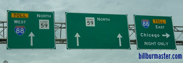
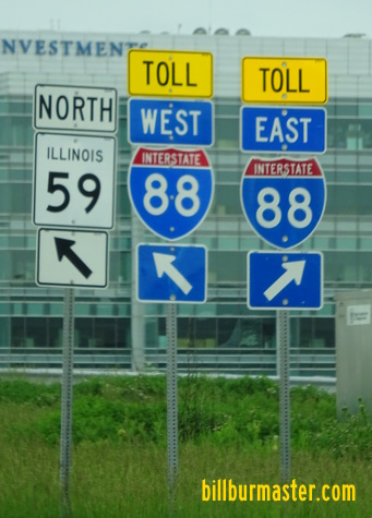
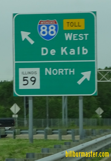
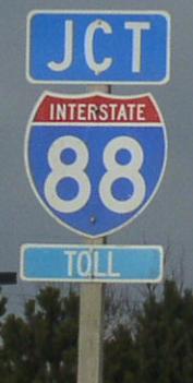
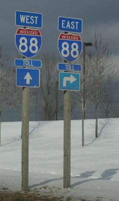
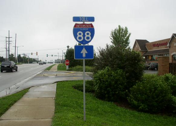
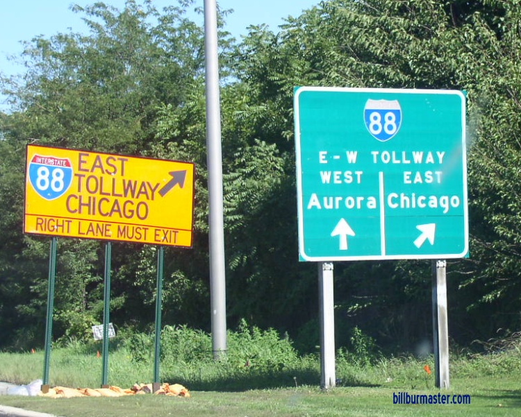
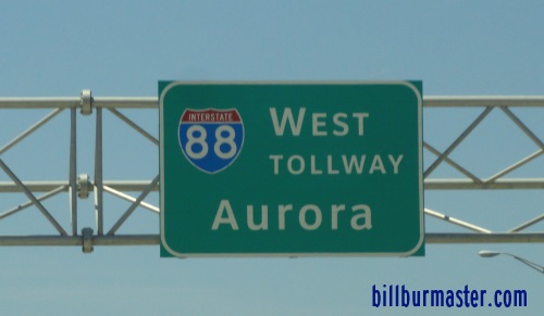
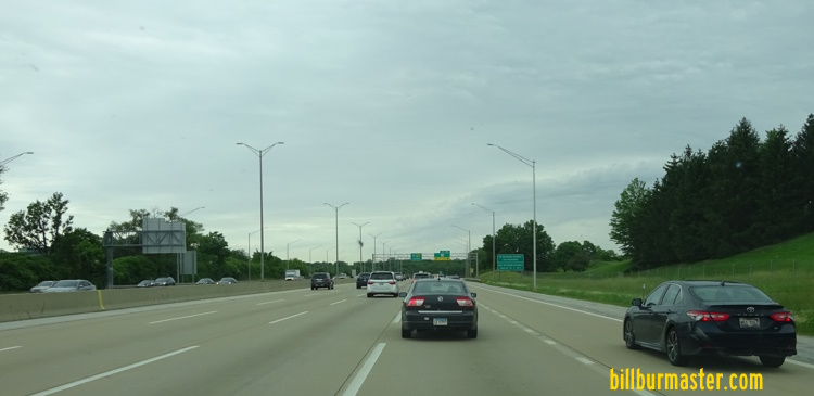
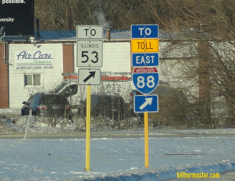
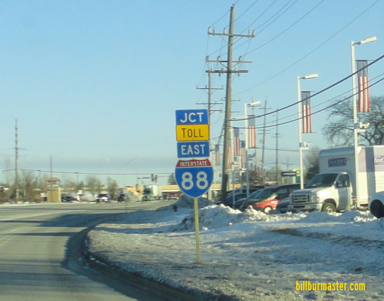
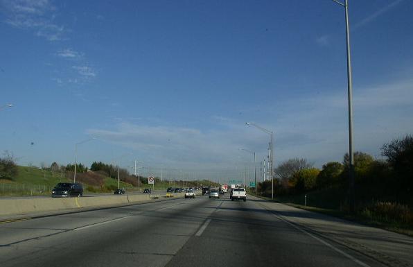
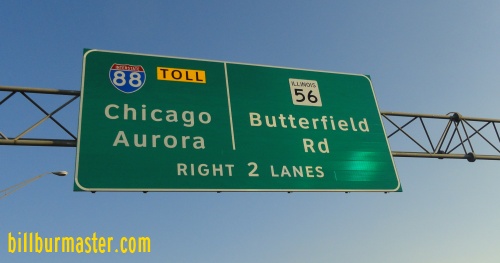
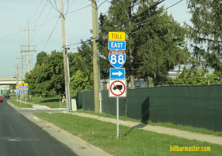
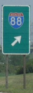
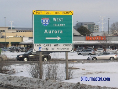
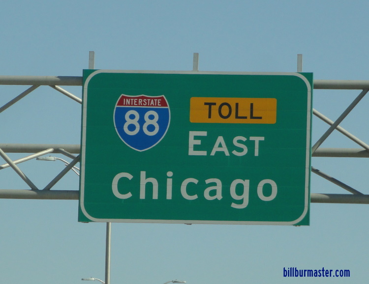
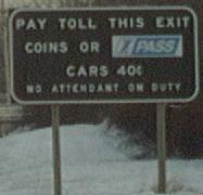
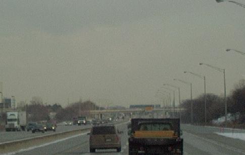
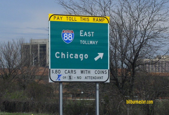
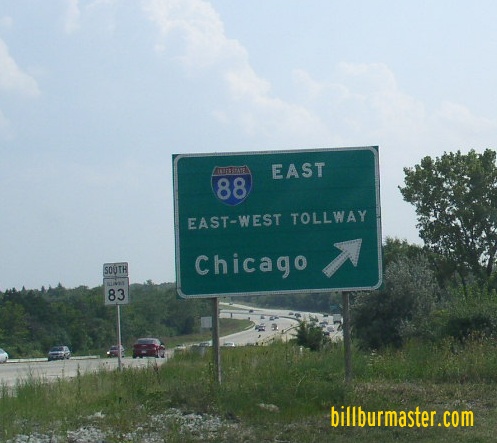
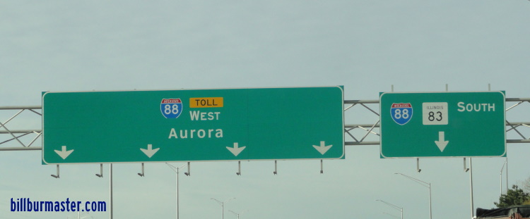
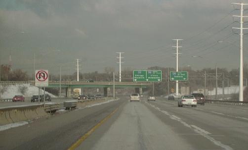
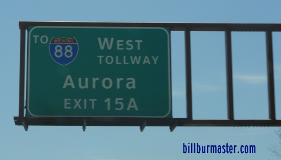
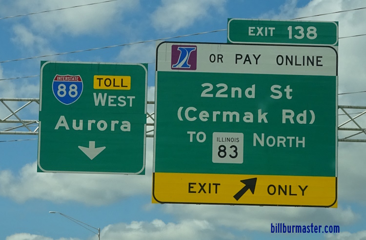
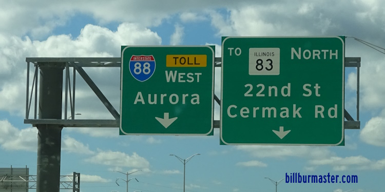
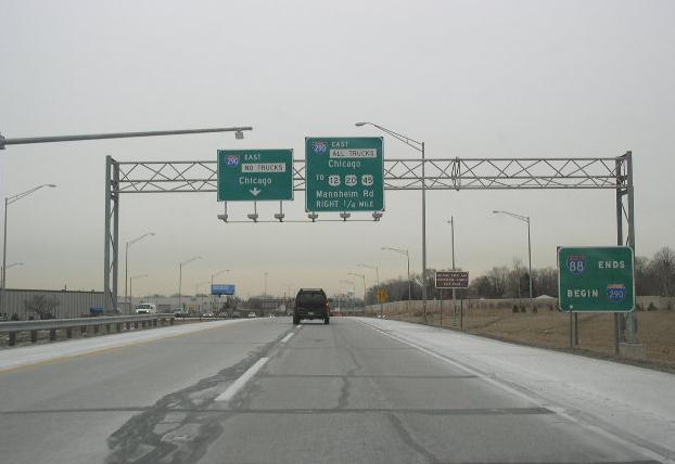
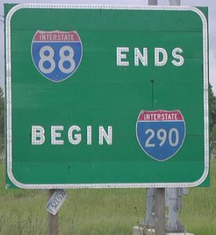
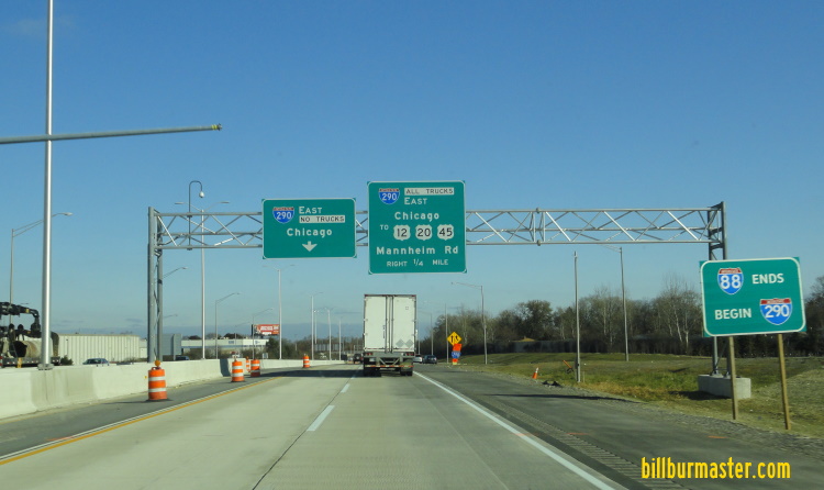
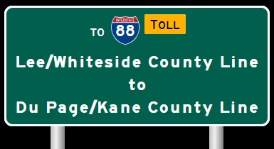
Du Page/Kane County Line to I-290/294 EB I-88/IL St Rt 110 at the Kane/Du Page County Line. EB I-88/IL St Rt 110 at Eola. A BGS at the Eola Road interchange. A guide marker on SB Eola Road in Aurora. A guide marker on SB Eola Road in Aurora. WB I-88/IL St Rt 110 near the Canadian National tracks west of IL St Rt 59 in Naperville. EB I-88/IL St Rt 110 at IL St Rt 59. A BGS on SB IL St Rt 59. A BGS on NB IL St Rt 59. A set of guide markers on NB IL St Rt 59. A BGS on NB IL St Rt 59. WB I-88/IL St Rt 110 near the Naperville/Lisle city limits. A junction marker in Naperville. A set of guide markers in Naperville. EB I-88/IL St Rt 110 in Naperville. A guide marker on NB DPCH 59. A guide sign on Warrenville Road north of I-88. (September, 2006) The same sign as above with an updated "Toll" banner. (February, 2013) A BGS on NB Naper Blvd. A BGS on WB I-88/IL St Rt 110. WB I-88 east of IL St Rt 53. A guide marker on WB U.S. Rt. 34. A junction marker on NB IL St Rt 53. A junction marker on EB U.S. Rt. 34. EB I-88/IL St Rt 110 near IL St Rt 53. WB I-88/IL St Rt 110 west of I-355. A mileage chart on NB I-355. (Nov., 2007) A BGS on SB I-355. A BGS on SB I-355. A BGS on NB I-355. A set of junction markers on EB U.S. Rt. 34. A set of guide markers on EB U.S. Rt. 34. A BGS guide sign on WB U.S. Rt. 34. A set of guide markers on EB U.S. Rt. 34. A junction marker on WB U.S. Rt. 34. A junction marker on WB U.S. Rt. 34. A guide marker on WB U.S. Rt. 34. A guide marker on WB U.S. Rt. 34. A set of BGS's north of U.S. Rt. 34. A set of guide markers on Main Street in Downers Grove. WB I-88/IL St Rt 110 in Downers Grove. Sign at the gore point on NB I-355. EB I-88/IL St Rt 110 under the fly over ramp for traffic from EB I-88/IL St Rt 110 to NB I-355. A BGS on EB IL St Rt 56. A BGS on EB I-88. A BGS on NB Highland Ave. EB I-88/IL St Rt 110 at Midwest Road. Ramp toll plaza info sign for Midwest Road in Oak Brook. These signs are all along the East-West Tollway. EB I-88 at Midwest Road in Oak Brook. A BGS on NB IL St Rt 83. A BGS on SB IL St Rt 83. A BGS on WB I-88/IL St Rt 110. EB I-88 splits into two spurs at York Road. One goes to SB I-294 (right) the other to EB I-290/NB I-294 (left). EB I-88/IL St Rt 110 leaving the York Road Toll Plaza in Oakbrook, near the South I-294 exit. EB I-88/IL St Rt 110 near Roosevelt Road. EB I-88/IL St Rt 110 at the Cook/Du Page County Line. WB I-88/IL St Rt 110 at the Cook/Du Page County Line. WB I-88/IL St Rt 110 at the Cook/Du Page County Line. A BGS on EB I-290. A milage chart on NB I-294. A BGS on NB I-294. A BGS on the ramp from NB I-294. A BGS on the ramp from NB I-294. EB I-88 at the end marker of the Reagan Tollway. The eastern end of I-88 in Hillside. The eastern end marker on EB I-88. The eastern end of I-88. The eastern end marker. (November, 2019)