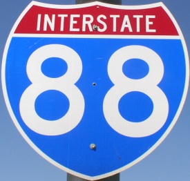
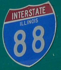
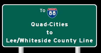
Interstate 88 Lee/Whiteside County to Du Page/Kane County Line
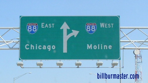
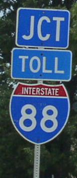
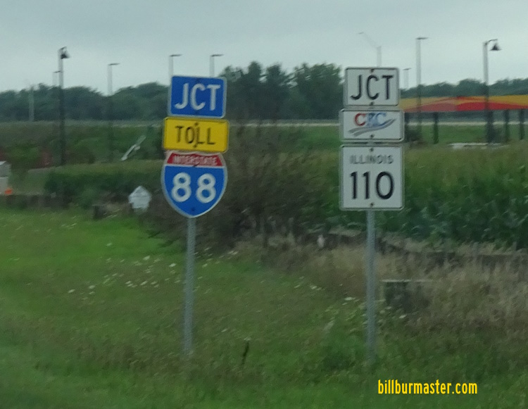
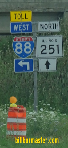
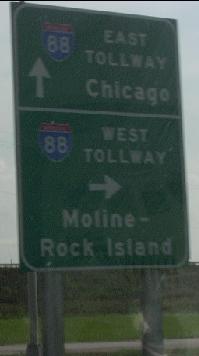
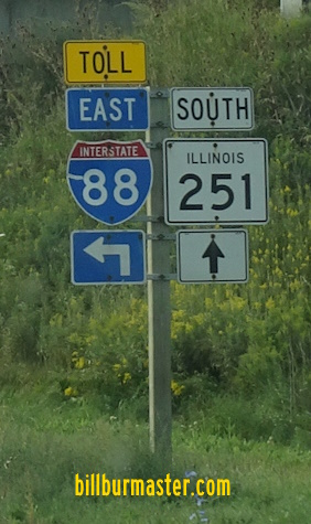
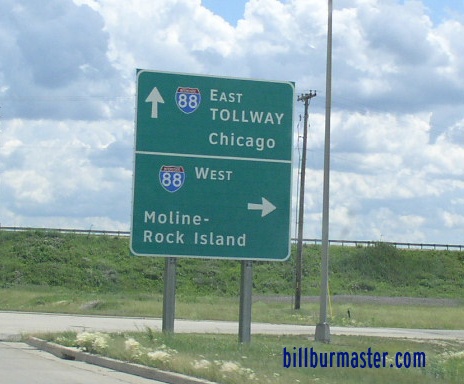
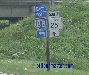
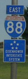
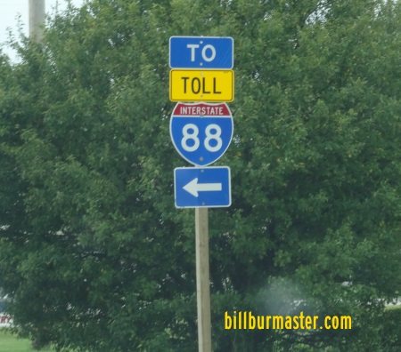
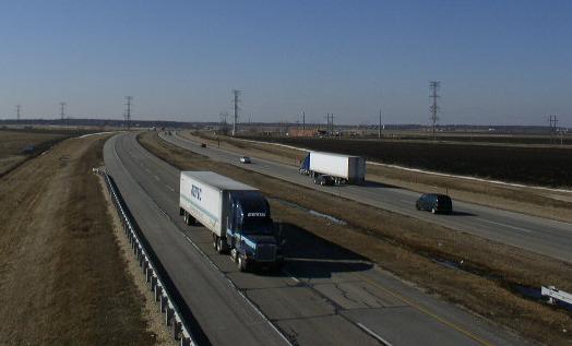
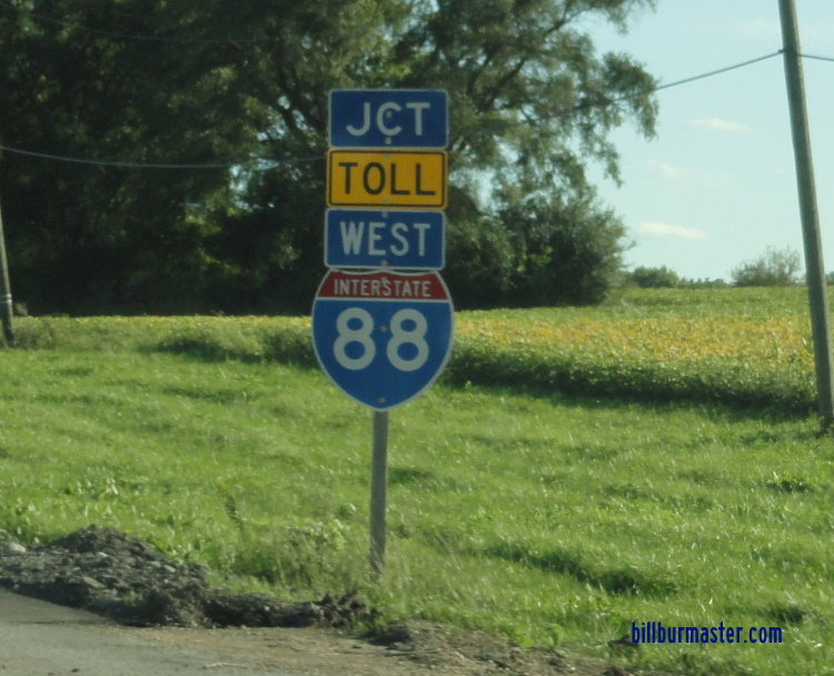
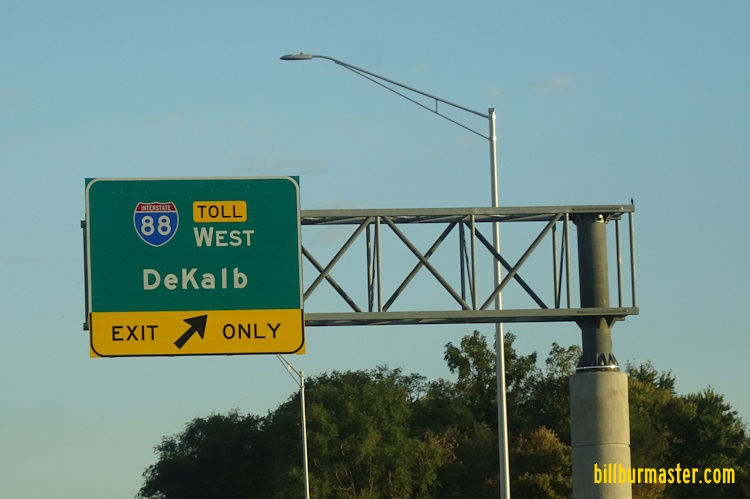
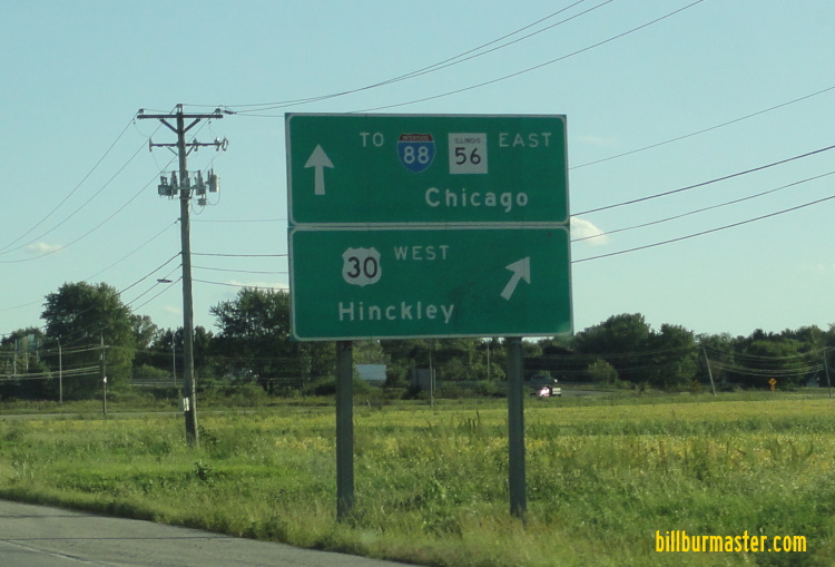
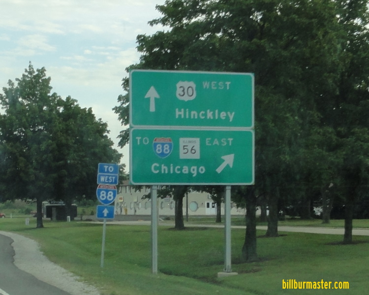
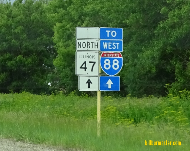
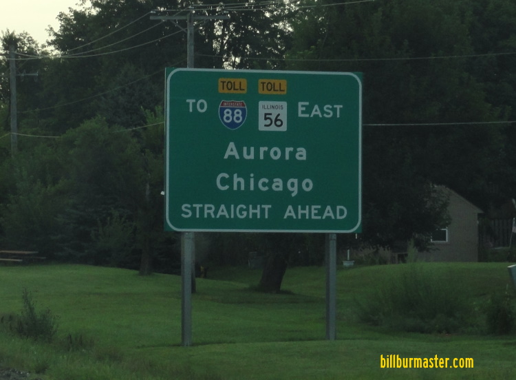
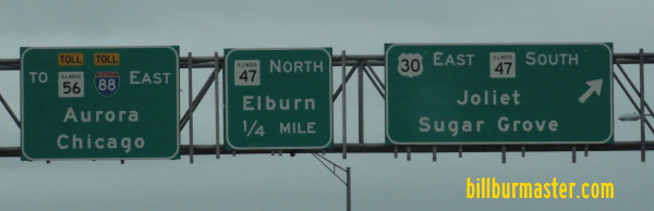
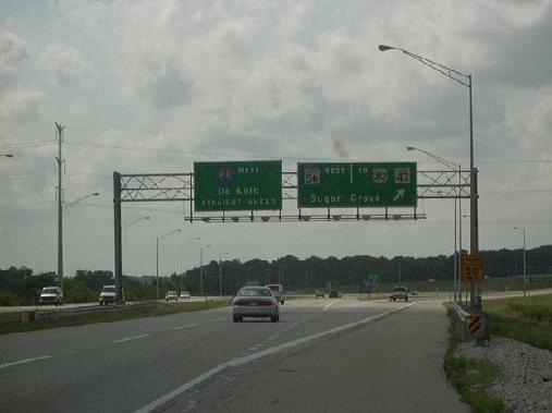
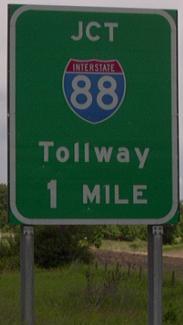
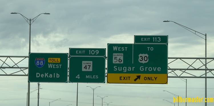
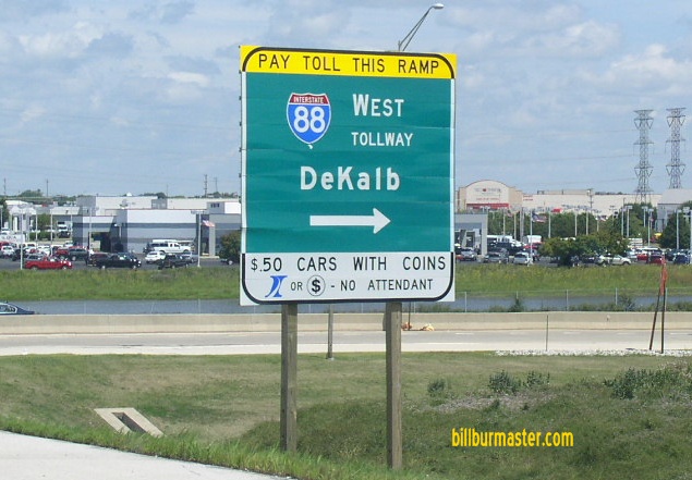
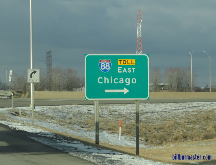
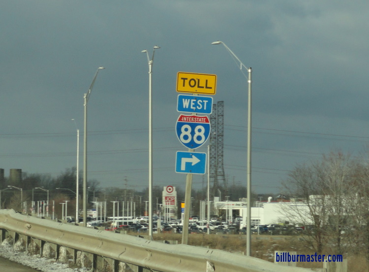
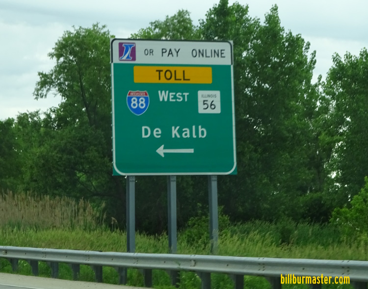
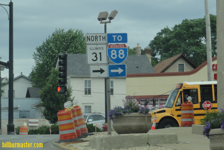
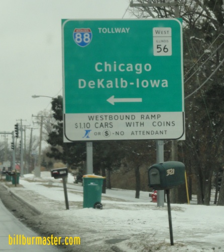
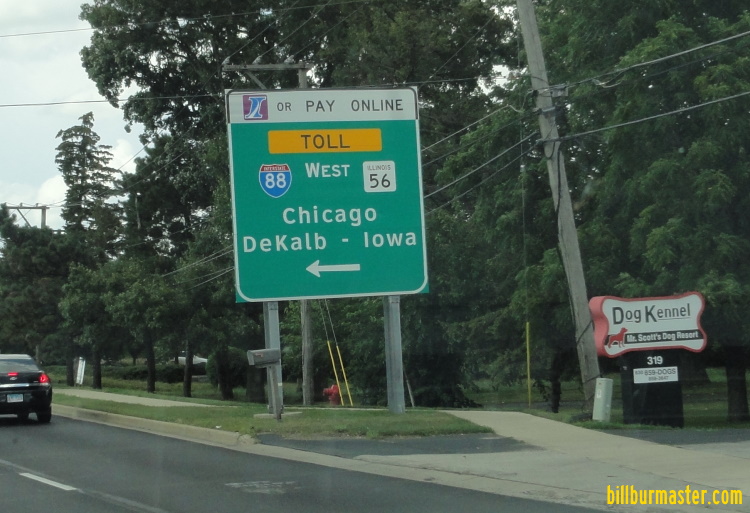
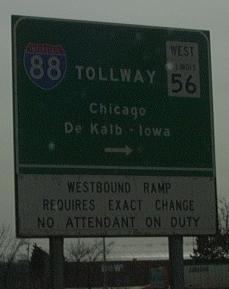
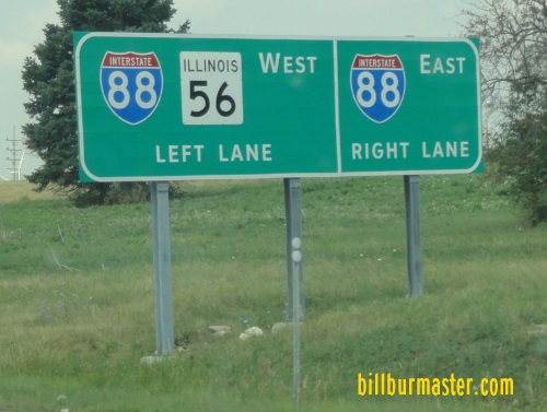
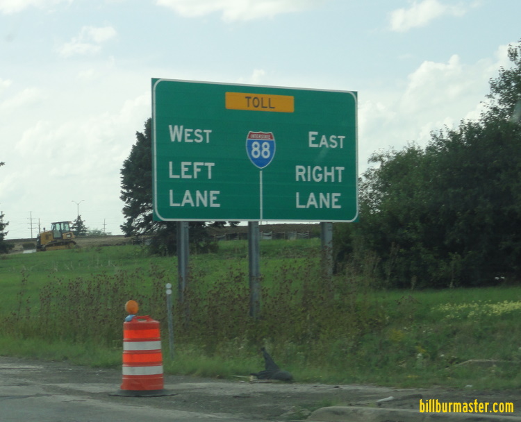
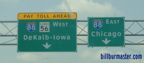
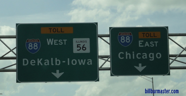
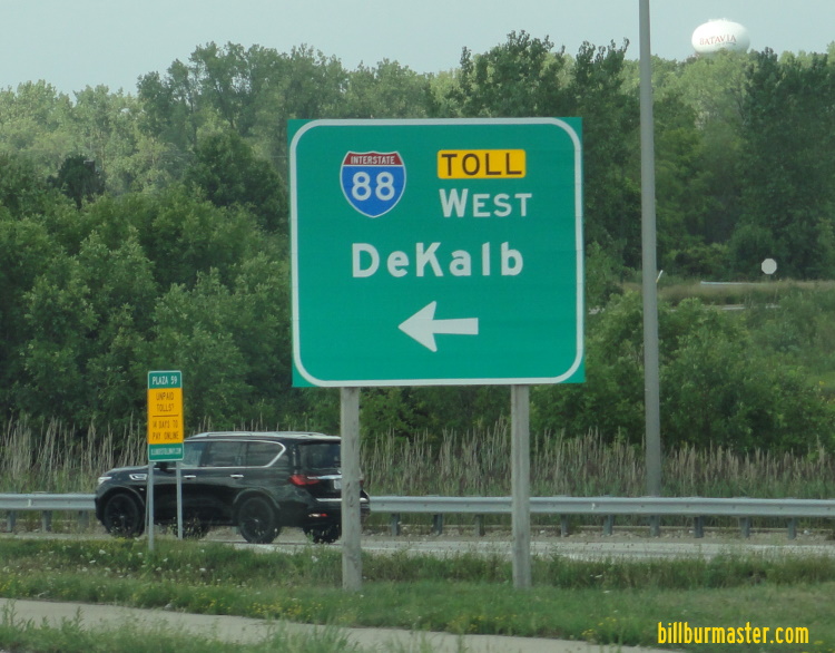
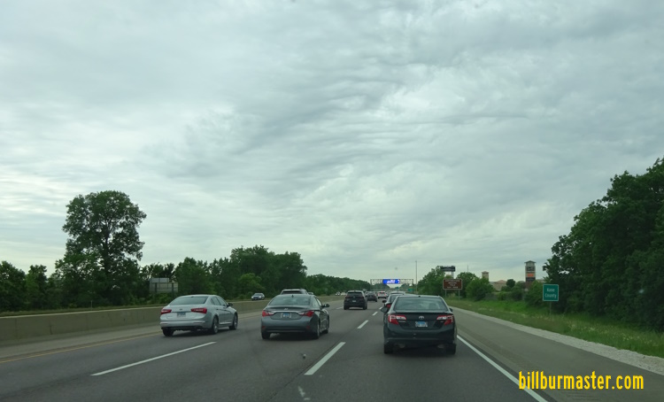
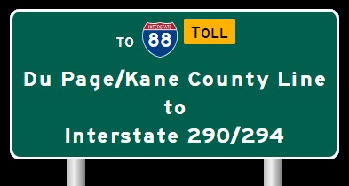
Lee/Whiteside County Line to Du Page/Kane County Line The begin marker for the Reagan Tollway near Dixon. The western end marker for the Reagan Tollway near Dixon. WB I-88/IL St Rt 110 at west end of the Reagan Memorial Tollway. WB I-88/IL St Rt 110 near Nelson. WB I-88/IL St Rt 110 southwest of Dixon. WB I-88/IL St Rt 110 west of IL St Rt 26. WB I-88/IL St Rt 110 at IL St Rt 26. A BGS on the ramp from IL St Rt 26. WB I-88/IL St Rt 110 east of IL St Rt 26. WB I-88/IL St Rt 110 near Franklin Grove. WB I-88/IL St Rt 110 near Ashton. WB I-88/IL St Rt 110 west of Rochelle. WB I-88/IL St Rt 110 at the Lee/Ogle County Line. WB I-88/IL St Rt 110 at the Lee/Ogle County Line. WB I-88/IL St Rt 110 at IL St Rt 251. Junction sign on NB IL St Rt 251. A junction marker on NB IL St Rt 251. A guide marker on NB IL St Rt 251. A guide sign on SB IL St Rt 251 at Rochelle. A guide marker on SB IL St Rt 251. A BGS on SB IL St Rt 251. A guide marker on SB IL St Rt 251. A set of BGS's on WB I-88. EB I-88 east of IL St Rt 251. A BGS on SB I-39/U.S. Rt. 51. A BGS on SB I-39/U.S. Rt. 51. EB I-88 east of I-39/U.S. Rt. 51. EB I-88/IL St Rt 110 east of I-39/U.S. Rt. 51. WB I-88/IL St Rt 110 at the De Kalb/Ogle County Line. WB I-88/IL St Rt 110 at the De Kalb/Ogle County Line. EB I-88 near Malta. WB I-88/IL St Rt 110 west of De Kalb. EB I-88 guide marker near De Kalb. WB I-88/IL St Rt 110 at De Kalb. WB I-88/IL St Rt 110 at the De Kalb Oasis. WB I-88/IL St Rt 110 east of the De Kalb Oasis. A guide marker on WB IL St Rt 38. The toll plaza on the WB off ramp at Peace Road in De Kalb. WB I-88/IL St Rt 110 at Peace Road. WB I-88/IL St Rt 110 east of De Kalb. WB I-88/IL St Rt 110 at the De Kalb/Kane County Line. WB I-88/IL St Rt 110 at the De Kalb/Kane County Line. Looking west along I-88/IL St Rt 110 near Sugar Grove. WB I-88/IL St Rt 110 west of IL St Rt 47. A junction marker on SB IL St Rt 47. A BGS on NB IL St Rt 47. A BGS on SB IL St Rt 47. WB I-88/IL St Rt 110 at IL St Rt 47. EB I-88/IL St Rt 110 east of IL St Rt 47. WB I-88/IL St Rt 110 near IL St Rt 47. WB I-88/IL St Rt 110 west of IL St Rt 56. WB I-88/IL St Rt 110 west of IL St Rt 56. WB I-88/IL St Rt 110 at IL St Rt 56. A BGS on WB U.S. Rt. 30/NB IL St Rt 47. A guide marker on NB IL St Rt 47. A BGS on EB U.S. Rt. 30. A BGS on EB U.S. Rt. 30. WB I-88/IL St Rt 110 at WB IL St Rt 56. WB I-88/IL St Rt 110 at IL St Rt 56. WB I-88 where IL St. Rt. 56 splits near Sugar Grove, IL. Junction Sign on IL St. Rt. 56 at Sugar Grove, IL A BGS on WB I-88; IL St Rt 56/110. A BGS on NB Orchard Road. A BGS on NB Orchard Road. A guide marker on NB Orchard Road. A BGS on SB Orchard Road. WB I-88/IL St Rt 56-110 west of IL St Rt 31. A guide marker in Aurora. A BGS on NB IL St Rt 31. A BGS on NB IL St Rt 31. BGS on IL St Rt 31/56 at I-88. A BGS on WB IL St Rt 56. A BGS on WB IL St Rt 56. A BGS on WB IL St Rt 56. A BGS on WB IL St Rt 56. WB I-88/IL St Rt 110 at the Fox River. A BGS on NB Farnsworth Ave. WB I-88/IL St Rt 110 near Farnsworth in Aurora. WB I-88/IL St Rt 110 at the Du Page/Kane County Line. WB I-88 at the Du Page/Kane County Line.