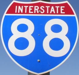
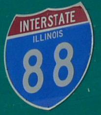
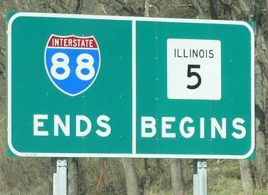
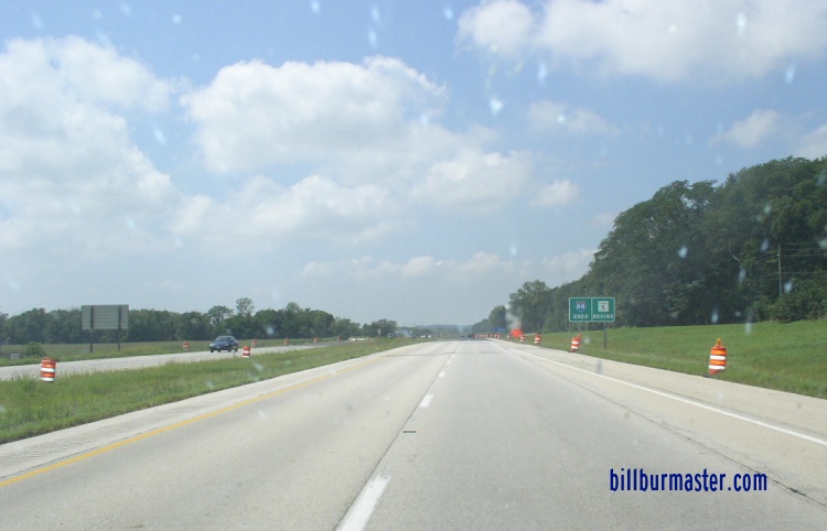
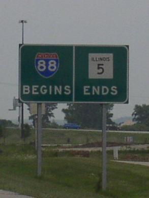
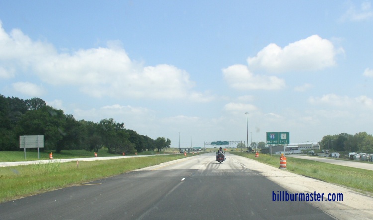
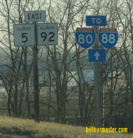
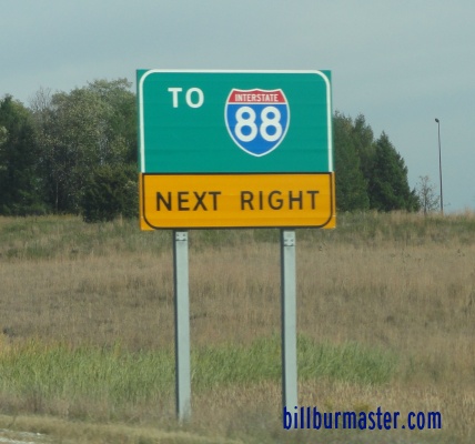
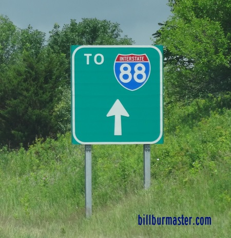
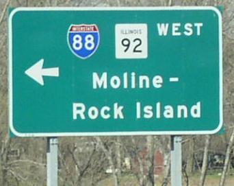
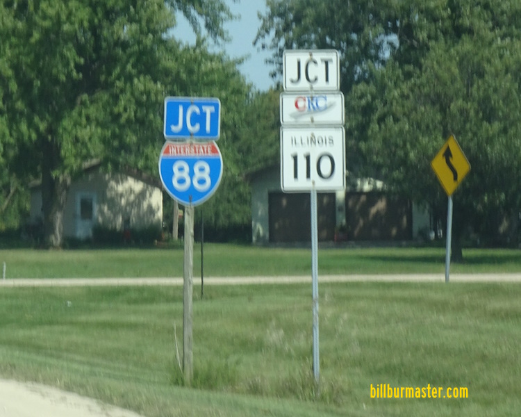
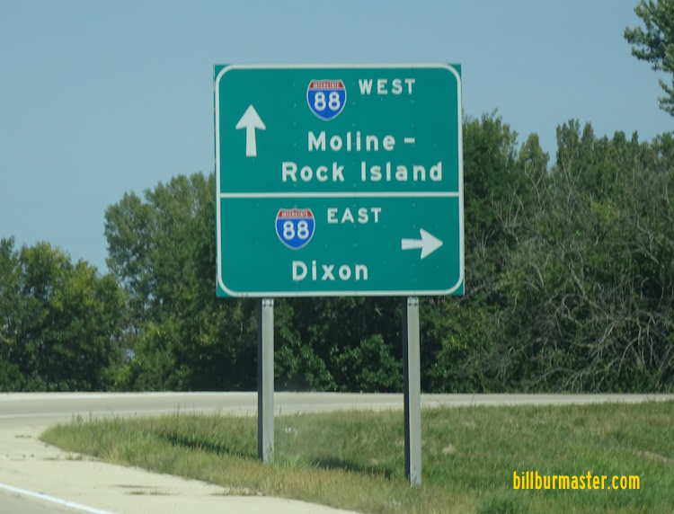
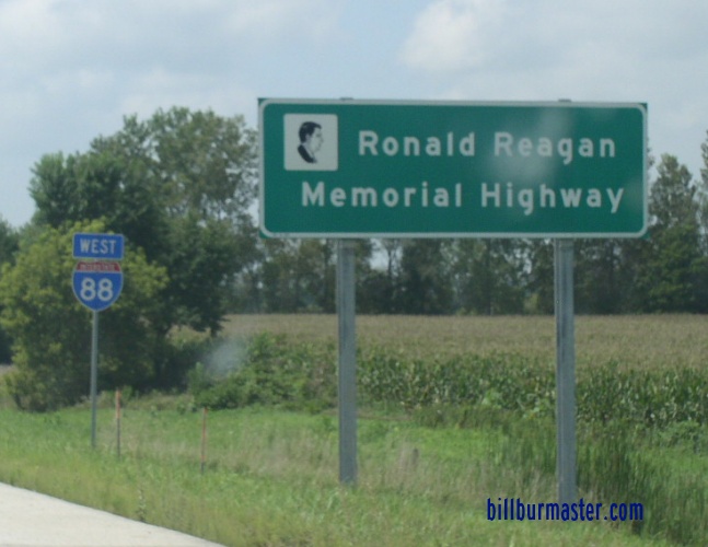
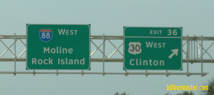
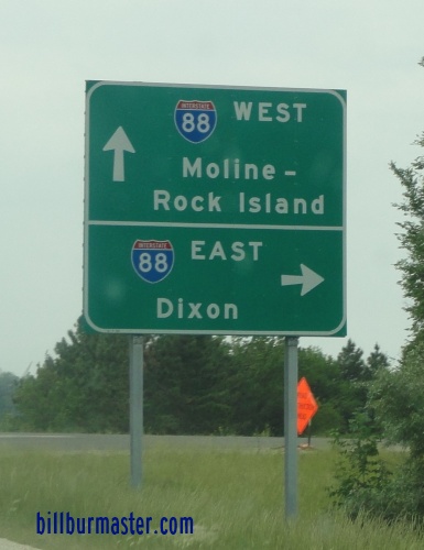
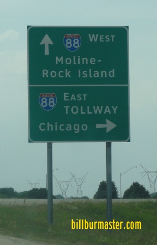
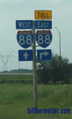
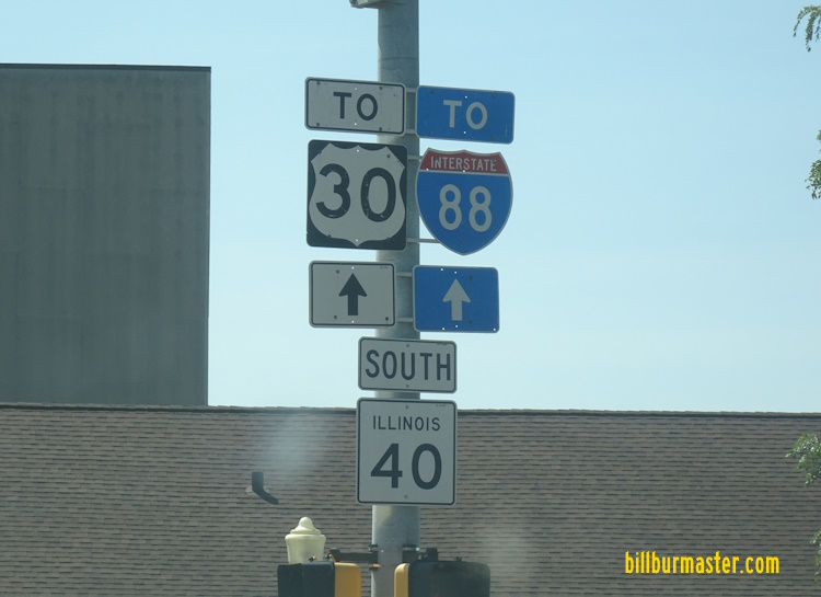
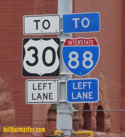
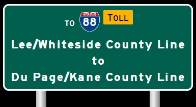
Quad Cities to Lee/Whiteside County Line. Western end marker. This turns into IL St Rt 5, and goes further into Moline. The western end of I-88. The begin marker near Carbon Cliff at the Quad-City Metro Area. The western start of I-88. A set of guide markers on EB IL St Rt 5/92. A BGS on EB I-80. (July, 2004) A BGS on EB I-280. A BGS on WB I-74/IL St Rt 110. WB I-88 as is near the Quad-City Area. A BGS on WB IL St Rt 92. A BGS on Old Hwy. 2 near Hillsdale. WB I-88/IL St Rt 110 at Hillside. WB I-88/IL St Rt 110 at the Rock Island/Whiteside County Line. WB I-88/IL St Rt 110 at Erie. A junction marker on SB IL St Rt 78. A BGS on NB IL St Rt 78. WB I-88/IL St Rt 110 at IL St Rt 78. WB I-88/IL St Rt 110 east of IL St Rt 78. WB I-88/IL St Rt 110 west of Rock Falls. A marker for the Ronald Reagan Memorial Highway on WB I-88/IL St Rt 110. WB I-88/IL St Rt 110 near Como. A BGS on WB I-88/IL St Rt 110. WB I-88/IL St Rt 110 at the Rock River. WB I-88/IL St Rt 110 near Rock Falls. WB I-88/IL St Rt 110 west of IL St Rt 40. A BGS on NB IL St Rt 40. A junction marker on NB IL St Rt 40. WB I-88/IL St Rt 110 west of U.S. Rt. 30. WB I-88/IL St Rt 110 at U.S. Rt. 30. A BGS on WB U.S. Rt. 30. A set of guide markers on WB U.S. Rt. 30. A junction marker on WB U.S. Rt. 30. A guide marker on SB IL St Rt 40. A guide marker on WB IL St Rt 2. WB I-88/IL St Rt 110 at the Lee/Whiteside County Line. WB I-88/IL St Rt 110 at the Lee/Whiteside County Line.