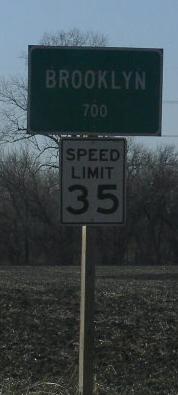
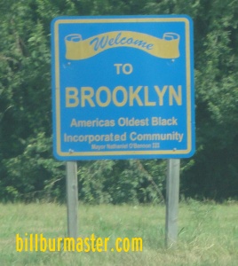
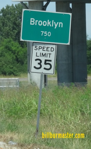
Illinois State Route 3 runs north-south along the Mississippi River and the Illinois/Missouri State Line. Portions of this highway runs with the Poplar Street Bridge Complex in East St. Louis. IL St Rt 3 passes through the following towns in St. Clair County. Brooklyn
Fairmont City
East St. Louis
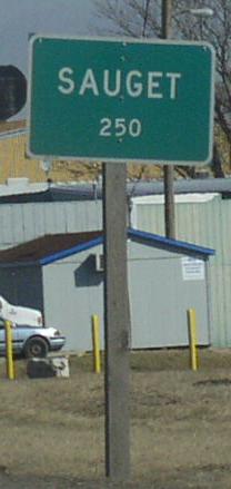
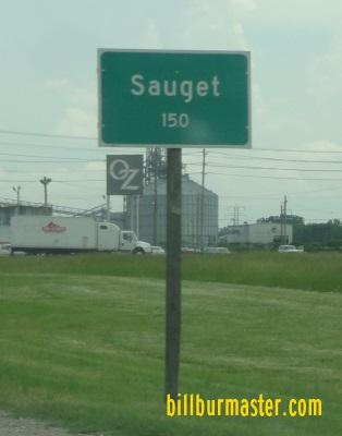
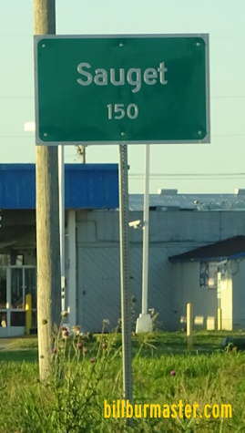
Sauget
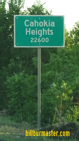
Cahokia Heights (former Village of Cahokia; prior to May, 2021)
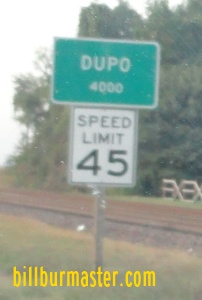
Dupo
IL St Rt 3 is multi-plexed in St. Clair County. Interstate 64, at East St. Louis. Interstate 55, at East St. Louis.
Interstate 255, from Dupo to the St. Clair/Monroe County Line.
U.S. Rt. 50, from Dupo to the St. Clair/Monroe County Line.
IL St Rt 3 intersects the following highways in St. Clair County. Interstate 70, at East St. Louis. (NO Direct Interchange) Interstate 64, at East St. Louis. Interstate 55, at East. St. Louis. Interstate 70, at East St. Louis.
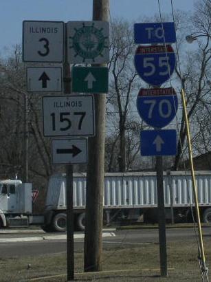
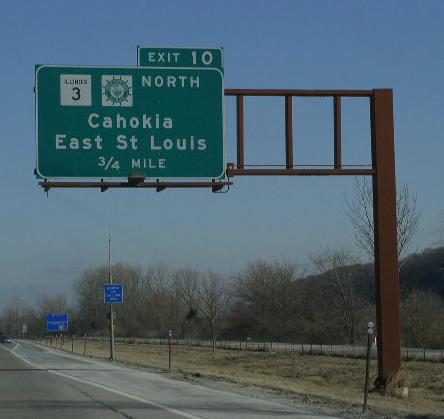
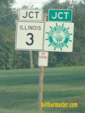
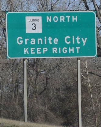
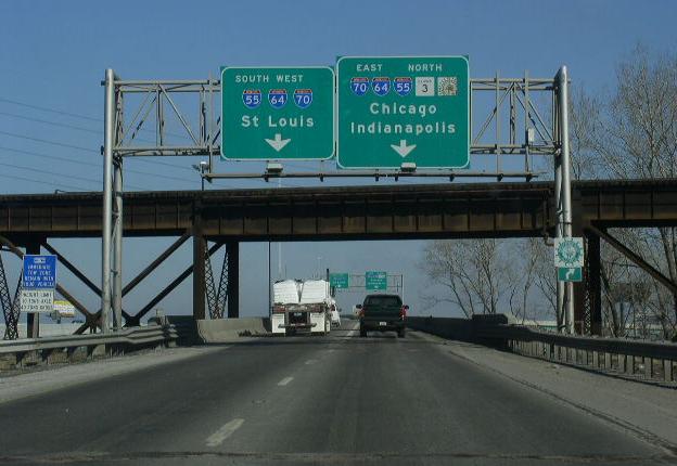
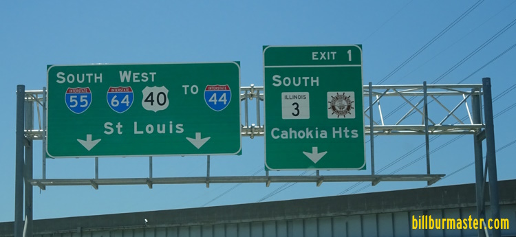
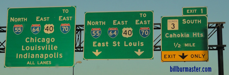
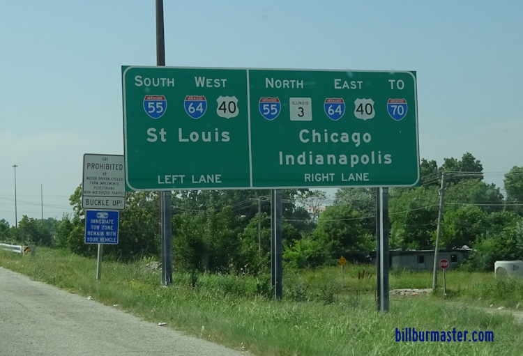
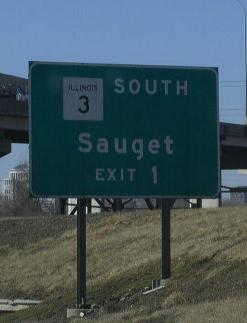
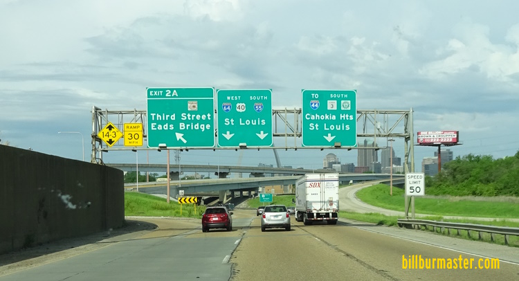
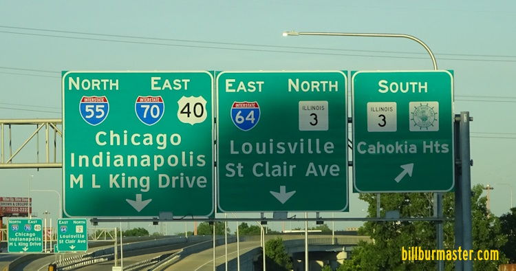
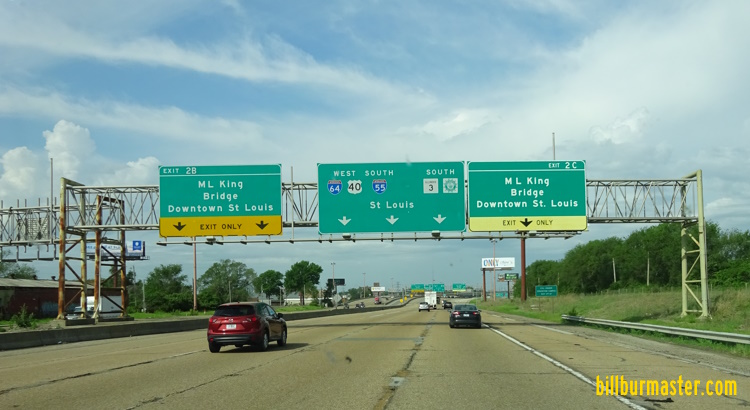
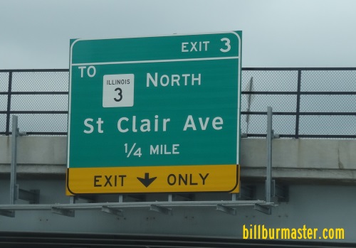
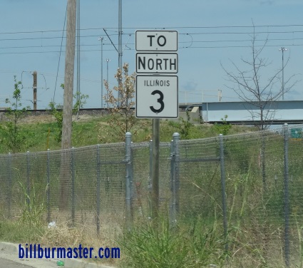
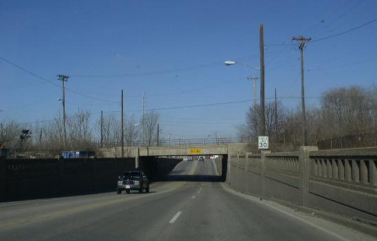
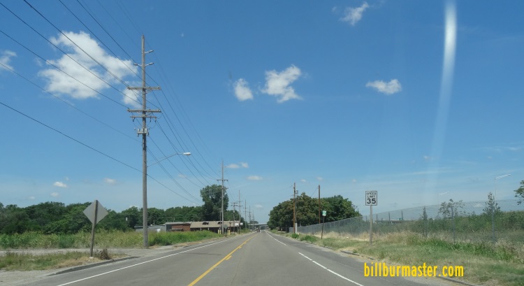
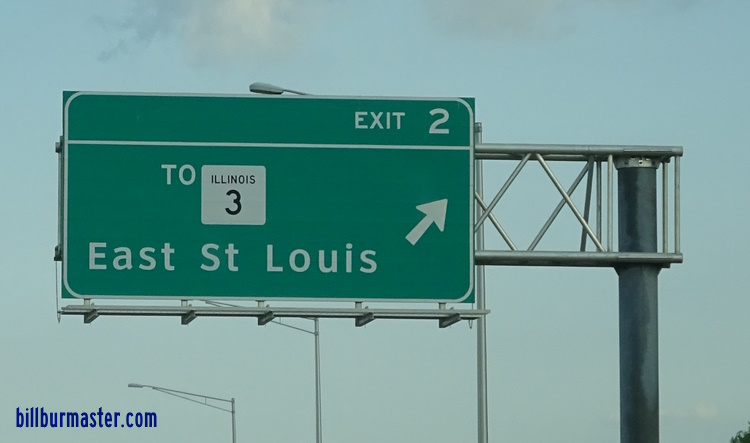
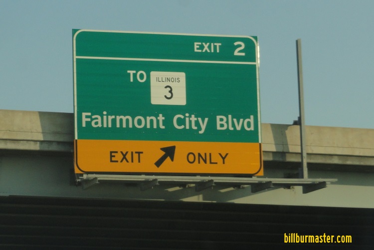
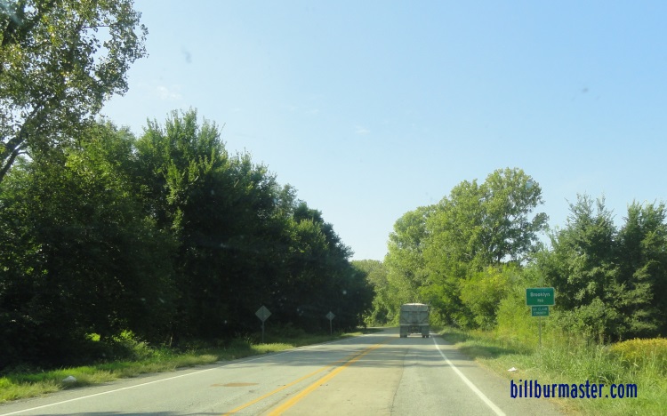
NB I-255/IL St Rt 3; EB U.S. Rt. 50 at the Monroe/St. Clair County Line. SB I-255/IL St Rt 3; WB U.S. Rt. 50 one mile north of the IL St Rt 3-Columbia Interchange. A BGS on SB I-255/IL St Rt 3; WB U.S. Rt. 50. NB I-255/IL St Rt 3; EB U.S. Rt. 50 north of the St. Clair County Line. A set of junction markers on NB Old IL St Rt 3. A guide marker on SB Old IL St Rt 3. A BGS on NB I-255/EB U.S. Rt. 50. NB I-255/EB U.S. Rt. 50 at the split from NB IL St Rt 3. A BGS on SB I-255/WB U.S. Rt. 50. A BGS on SB I-255/WB U.S. Rt. 50. A BGS on NB I-255/IL St Rt 3; EB U.S. Rt. 50. A BGS on NB I-255/IL St Rt 3; EB U.S. Rt. 50. NB IL St Rt 3 north of I-255/U.S. Rt. 50. NB IL St Rt 3 in Dupo. NB IL St Rt 3 north of Dupo. NB IL St Rt 3 south of Cahokia. A junction marker on SB IL St Rt 157. NB IL St Rt 3 at 8th Street in East St. Louis. NB IL St Rt 3 north of 8th Street in East St. Louis. A BGS on NB IL St Rt 3. NB IL St Rt 3 near I-55/64; U.S. Rt. 40. SB IL St Rt 3 south of I-55/64; U.S. Rt. 40. SB IL St Rt 3 south of I-55/64; U.S. Rt. 40. (June, 2022) SB IL St Rt 3 at the Illinois Welcome Sign just south of the Poplar Street Bridge Complex. SB IL St Rt 3 at the Illinois Welcome Sign. (June, 2022) NB IL St Rt 3 south of I-55/64; U.S. Rt. 40. NB IL St Rt 3 at I-55/64; U.S. Rt. 40. A BGS on NB I-55; EB I-64/U.S. Rt. 40. A BGS on SB I-55/IL St Rt 3; WB I-64/U.S. Rt. 40. A BGS on SB I-55; WB I-64/U.S. Rt. 40. A BGS on NB I-55; EB I-64/U.S. Rt. 40. A BGS on NB I-55; EB I-64/U.S. Rt. 40. Looking north along I-55/64; U.S. 40; IL in East St. Louis. Photo from SB I-55/IL St Rt 3; WB I-64/U.S. 40 to Tudor Ave. NB I-55/IL St Rt 3; EB I-64/U.S. Rt. 40 at Tudor Ave. A BGS on Tudor Ave. A BGS on SB I-55/IL St Rt 3; WB I-64/U.S. Rt. 40. A BGS on NB I-55/IL St Rt 3; EB I-64/U.S. Rt. 40. NB I-55/IL St Rt 3; EB I-64/U.S. Rt. 40 at the Illinois Welcome Sign. (September, 2007) SB I-55/IL St Rt 3; WB I-64/U.S. Rt. 40 at 3rd Street in East St. Louis. A guide sign near the Casino Queen. SB I-55/IL St Rt 3; WB I-64/U.S. Rt. 40 at the King Bridge exit. SB I-55/IL St Rt 3; WB I-64/U.S. Rt. 40 at the King Bridge exit. A BGS on SB I-55/IL St Rt 3; WB I-64/U.S. Rt. 40. A BGS on the MLK Bridge. A BGS on the MLK Bridge. A guide marker in East St. Louis. A guide marker in East St. Louis. A BGS in East St. Louis. SB I-55/IL St Rt 3; WB I-64/U.S. Rt. 40 south of I-70 in East St. Louis. WB I-64/U.S. Rt. 40; SB I-55; IL St Rt 3 south of I-70 in East St. Louis. A BGS on WB I-64. A BGS on EB I-64. A BGS on EB I-64. A BGS on EB I-64. A BGS on EB I-64. A BGS on EB I-64. A guide marker in East St. Louis. A BGS on NB IL St Rt 3. A BGS on SB I-55; WB I-70/U.S. Rt. 40. NB IL St Rt 3 north of I-55/64/70; U.S. Rt. 40. NB IL St Rt 3 near the old stock yards. A BGS on WB I-70. A BGS on WB I-70. A BGS on EB I-70. A BGS on EB I-70. A BGS on EB I-70. A BGS on WB I-70. SB IL St Rt 3 at the St. Clair/Madison County Line.