U.S. Federal Route 45 is a straight north-south route in Kankakee County. Much of U.S. Rt. 45 through the Kankakee Metro Area is four-lanes wide. U.S. Rt. 45 passes through the following towns. Manteno
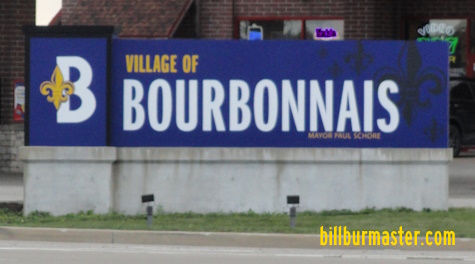
Bourbonnais
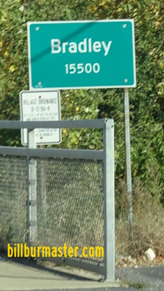
Bradley
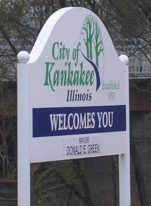
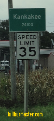
Kankakee
U.S. Rt. 45 is multi-plexed in Kankakee County. U.S. Rt. 52, from the Will/Kankakee County Line to the Iroquois/Kankakee County Line.
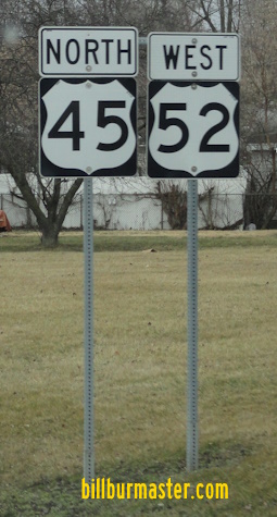
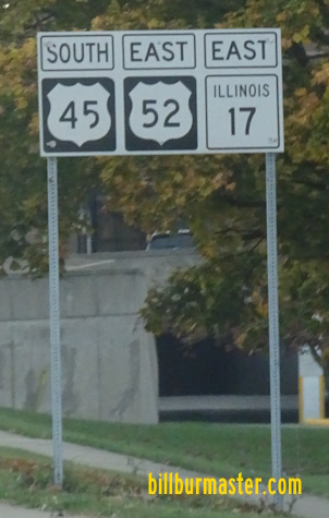
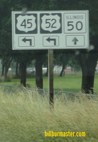
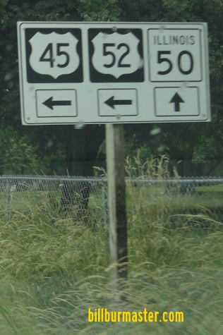
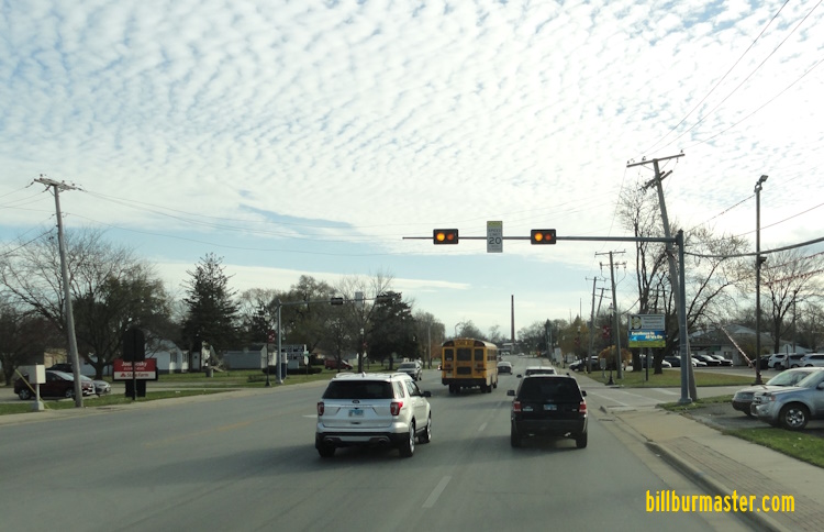
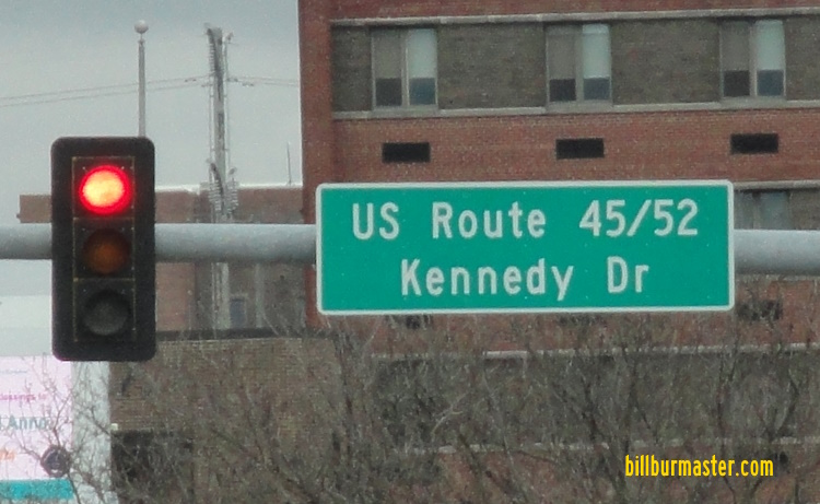
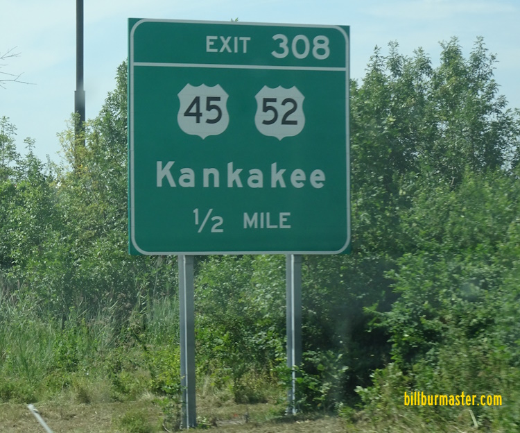
SB U.S. Rt. 45/EB U.S. Rt. 52 at the Kankakee/Will County Line. SB U.S. Rt. 45/EB U.S. Rt. 52 north of Manteno Road. SB U.S. Rt. 45/EB U.S. Rt. 52 at Manteno Road. SB U.S. Rt. 45/EB U.S. Rt. 52 near Manteno. SB U.S. Rt. 45/EB U.S. Rt. 52 near Manteno. (July, 2012) SB U.S. Rt. 45/EB U.S. Rt. 52 near Manteno. (May, 2015) NB U.S. Rt. 45/WB U.S. Rt. 52 north of 7000N Road. An intersection ahead sign on EB N 6000W Road. A guide sign on the ramp from NB I-57 to Bourbonnais Parkway. A junction marker on WB N 6000W Road. A set of guide signs on WB Bourbonnais Parkway. A set of guide signs on WB Bourbonnais Parkway. NB U.S. Rt. 45/WB U.S. Rt. 52 south of Bourbonnais Parkway. NB U.S. Rt. 45/WB U.S. Rt. 52 north of St. George Road. NB U.S. Rt. 45/WB U.S. Rt. 52 north of Bourbonnais. NB U.S. Rt. 45/WB U.S. Rt. 52 near St. George Road in Bourbonnais. NB U.S. Rt. 45/WB U.S. Rt. 52 in Bourbonnais. (May, 2014) NB U.S. Rt. 45/WB U.S. Rt. 52 north of Larry Power Road in Bourbonnias. A guide marker in Bourbonnais. SB U.S. Rt. 45/EB U.S. Rt. 52 south of Latham Drive. NB U.S. Rt. 45/WB U.S. Rt. 52 south of Latham Drive in Bourbonnais. NB U.S. Rt. 45/WB U.S. Rt. 52 north of IL St Rt 102. SB U.S. Rt. 45/EB U.S. Rt. 52 north of IL St Rt 102. A junction marker on EB IL St Rt 102. A guide marker on EB IL St Rt 102. NB U.S. Rt. 45/WB U.S. Rt. 52 at IL St Rt 102. SB U.S. Rt. 45/EB U.S. Rt. 52 near Olivet University in Bourbonnais. SB U.S. Rt. 45/EB U.S. Rt. 52 in Bradley. NB U.S. Rt. 45/WB U.S. Rt. 52 near Brookmont in Kankakee. NB U.S. Rt. 45/WB U.S. Rt. 52 near Fifth Avenue in Kankakee. NB U.S. Rt. 45/WB U.S. Rt. 52 near Williams in Kankakee. NB U.S. Rt. 45/EB U.S. Rt. 52 near the Norfolk Southern railroad in Kankakee. A guide marker on EB IL St Rt 17. A street sign on EB IL St Rt 17. WB IL St Rt 17/U.S. Rt. 52; NB U.S. Rt. 52 east of Kennedy Drive in Kankakee. A guide marker on Court Street in Kankakee. SB U.S. Rt. 45; EB U.S. Rt. 52/IL St Rt 17 near Provena-St. Mary's Medical Center in Kankakee. WB IL St Rt 17/U.S. Rt. 52; NB U.S. Rt. 45 at Fifth Avenue in Kankakee. SB U.S. Rt. 45; EB U.S. Rt. 52/IL St Rt 17 near Fourth Avenue in Kankakee. SB U.S. Rt. 45; EB U.S. Rt. 52/IL St Rt 17 at Entrance Ave in Kankakee. A junction marker on SB U.S. Rt. 45; EB U.S. Rt. 52/IL St Rt 17. NB U.S. Rt. 45/WB U.S. Rt. 52 south of IL St Rt 17 in Kankakee. Looking west at the McBroom Bridge/U.S. 45-52 in Kankakee. (February, 2008) NB U.S. Rt. 45/WB U.S. Rt. 52 at the Kankakee River. A junction marker on NB IL St Rt 115. NB U.S. Rt. 45/WB U.S. Rt. 52 south of IL St Rt 115. SB U.S. Rt. 45/EB U.S. Rt. 52 at a railroad underpass in Kankakee. NB U.S. Rt. 45/WB U.S. Rt. 52 at River Road in Kankakee. NB U.S. Rt. 45/WB U.S. Rt. 52 north of I-57. A mileage chart on NB I-57. BGS on SB I-57. A BGS on NB I-57. A BGS on SB I-57. SB U.S. Rt. 45/EB U.S. Rt. 52 south of I-57. SB U.S. Rt. 45/EB U.S. Rt. 52 south of Kankakee. SB U.S. Rt. 45/EB U.S. Rt. 52 south of Kankakee. (March, 2014) SB U.S. Rt. 45/EB U.S. Rt. 52 at the Iroquois/Kankakee County Line. NB U.S. Rt. 45/WB U.S. Rt. 52 at the Iroquois/Kankakee County Line.