 | Interstate 65 Gary to Lafayette |  |  |

NB I-65 at the Tippecanoe/White County Line.

SB I-65 at the Tippecanoe/White County Line.

SB I-65 south of mile 193.

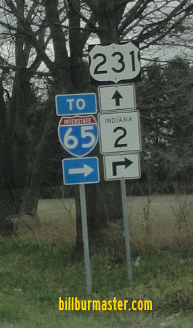
A junction marker on NB U.S. Rt. 231, south of Wolcott.

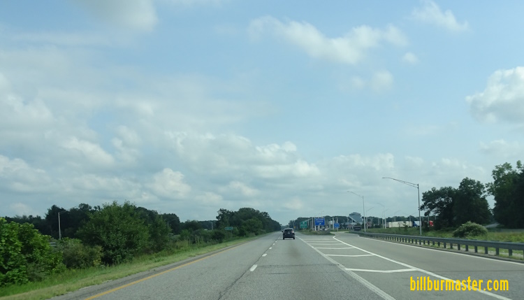
SB I-65 at the Jasper/White County Line.

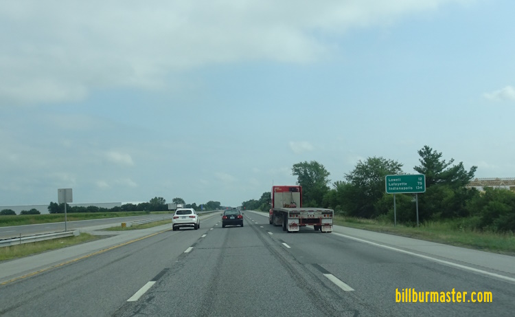
SB I-65 south of U.S. Rt. 24/231.

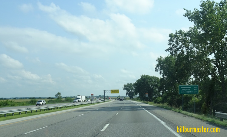
SB I-65 south of U.S. Rt. 231 south of Rensselaer.

SB I-65 south of U.S. Rt. 231 south of Rensselaer.

A junction marker on NB U.S. Rt. 231.

A BGS on NB U.S. Rt. 231.

SB I-65 south of IN St Rt 114.

SB I-65 south of IN St Rt 114.

A guide marker on SB U.S. Rt. 231.

A guide marker on SB U.S. Rt. 231.

A guide marker on WB IN St Rt 114.

A guide marker on WB IN St Rt 114.

A set of guide markers on WB IN St Rt 114.

A BGS on WB IN St Rt 114.

A guide marker on WB IN St Rt 114.

A guide marker on SB U.S. Rt. 41.

SB I-65 at IN St Rt 114.

SB I-65 at IN St Rt 114.

A set of guide markers on NB U.S. Rt. 41.

A guide marker on WB IN St Rt 14.

SB I-65 south of IN St Rt 10.

A guide marker on EB IN St Rt 110.

A set of guide markers on EB IN St Rt 10.

BGS on EB IN St Rt 10.

A guide marker on EB IN St Rt 10.
SB I-65 at the Jasper/Newton County Line.

SB I-65 at the Lake/Newton County Line.

SB I-65 south of IN St Rt 2.
SB I-65 south of IN St Rt 2.

A set of guide markers on WB IN St Rt 2.

A guide marker on WB IN St Rt 2.

A guide marker on SB U.S. Rt. 231.

I-65 in Lake County is the Casmir Pulaski Highway.
A guide marker on SB U.S. Rt. 231/WB IN St Rt 2.

NB I-65 north of IN St Rt 2.
SB I-65 south of U.S. Rt. 231.

A older junction sign on U.S. Rt. 231 in Lake County. (November, 2004)

SB I-65 south of Crown Point.

SB I-65 south of 109th Street.
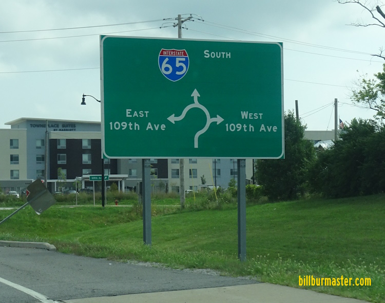
A BGS on the ramp from SB I-65 to 109th Street.

SB I-65 near Crown Point.

SB I-65 near 109th in Merrillville.

SB I-65 south of U.S. Rt. 30.

Junction sign on U.S. Rt. 30 at Merrillville.

A BGS on WB U.S. Rt. 30.
A BGS on WB U.S. Rt. 30.
A BGS on EB U.S. Rt. 30.

SB I-65 at U.S. Rt. 30.
SB I-65 at U.S. Rt. 30.

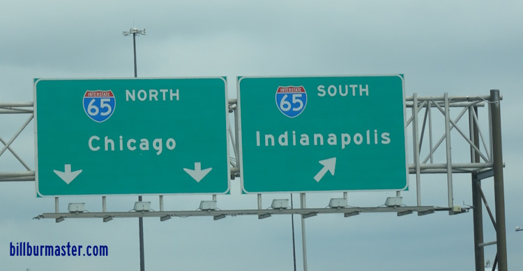
NB I-65 north of U.S. Rt. 30.

NB I-65 north of U.S. Rt. 30.

Sign on NB I-65 for exits at Gary.

NB I-65 near 73rd in Merrillville.
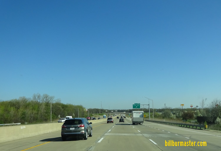
NB I-65 at 61st.
A BGS on EB 61st Street.
SB I-65 at 61st Street.

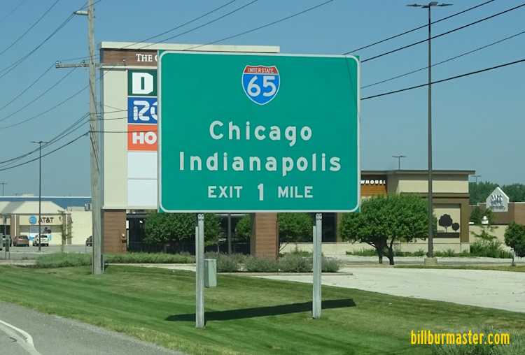
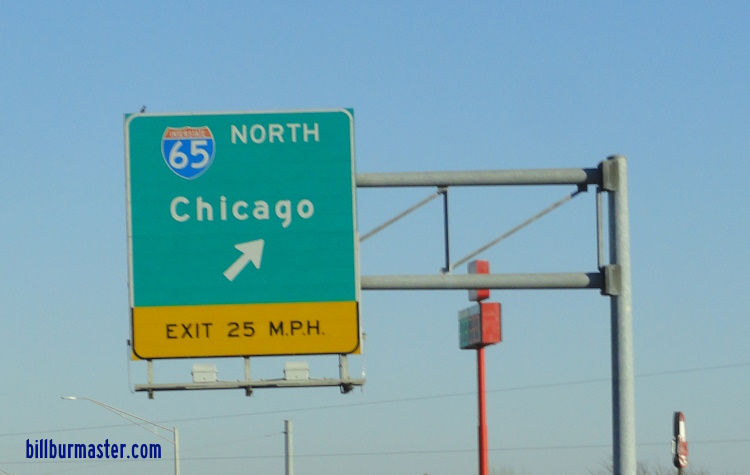
Sign informing motorists how to reach Chicago on NB I-65.

Mileage sign on NB I-65.

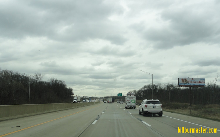
SB I-65 south of BUSN U.S. Rt. 6.

SB I-65 south of I-80/94; U.S. Rt. 6.

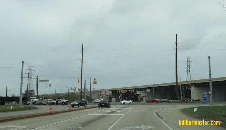
SB I-65 at I-80/94; U.S. Rt. 6.

A BGS on EB I-80/94; U.S. Rt. 6.

A traffic advisory sign on EB I-80/94; U.S. Rt. 6.

A BGS on WB I-80/94; U.S. Rt. 6.

A BGS on WB I-80/94; U.S. Rt. 6.

A BGS on the ramp from WB I-80/94; U.S. Rt. 6 to I-65.

A BGS on the ramp from WB I-80/94; U.S. Rt. 6 to I-65.

A BGS on the ramp from WB I-80/94; U.S. Rt. 6 to I-65.

A BGS on NB IN St Rt 912.

A travel time sign on EB I-80/94; U.S. Rt. 6.

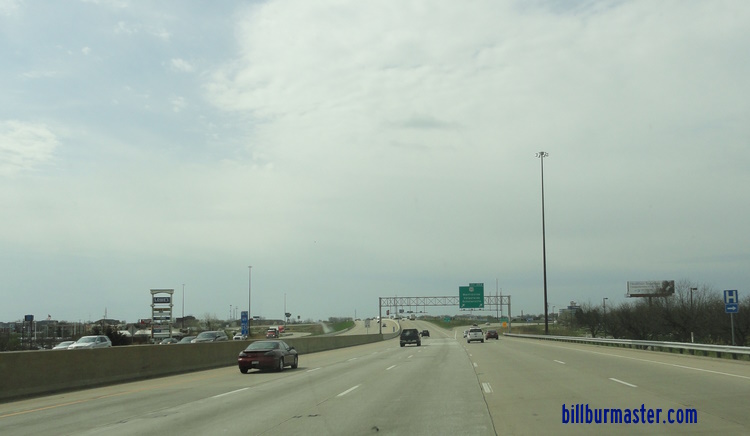
NB I-65 north of I-80/94.

NB I-65 north of I-80/94.

SB I-65 near 15th in Gary.

A BGS on EB I-90/IN E-W Toll Road.

A set of guide markers on 15th in Gary.

A BGS on EB I-90/Chicago Skyway in Illinois.

A BGS on EB I-90/Chicago Skyway in Illinois

The first NB end marker.

A close up of the end sign.

The first NB end marker. (September, 2016)

The first NB end marker. (September, 2016)

A second end marker.

A close up of the second end marker.

The second end marker. (September, 2016)

The northern end of I-65.

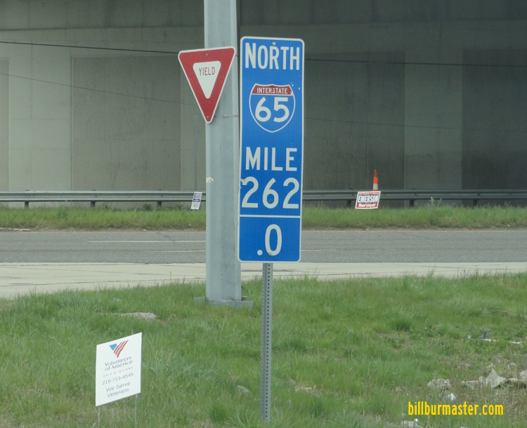
The northern end of I-65, at mile post "262.0". (November, 2020)
The northern end of I-65. (April, 2024)
The final mile marker at the northern end of I-65. (April, 2024)

Looking south at the start to SB I-65.

A closer look at the two shield at the start to SB I-65.

NOTE: The driveway to the right on SB I-65.

A temporary sign on the EB Chicago Skyway. (Aug., 2004)

A BGS on SB Cornell Ave in Chicago, IL. (Sept. 2008)
| CONTINUE TO: |
| NORTHBOUND: | NORTHBOUND: | SOUTHBOUND: |
 |  |  |