U.S. Federal Route 52 runs across eastern and northern Dubuque County. It was one of the main surface highways through Metro-Dubuque. In August, 2020, U.S. Rt. 52 was routed out of Dubuque along the Southwest Artery. U.S. Rt. 52 passes through the following towns in Dubuque County. St. Catherine Dubuque
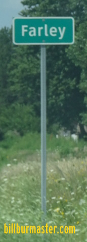
Pesta Epworth Farley
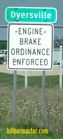
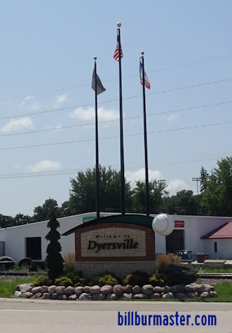
Dyersville
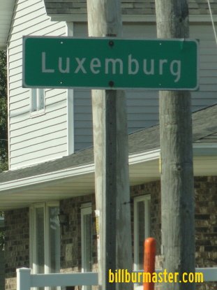
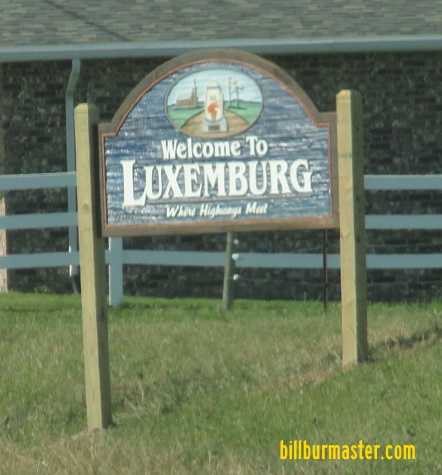
New Vienna Luxemburg
U.S. Rt. 52 is multi-plexed in Dubuque County. U.S. Rt. 61, at Dubuque. U.S. Rt. 151, at Dubuque.
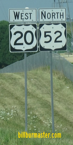
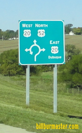
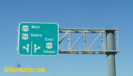
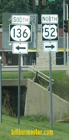
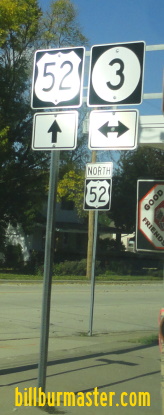
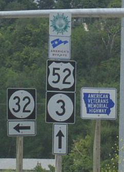
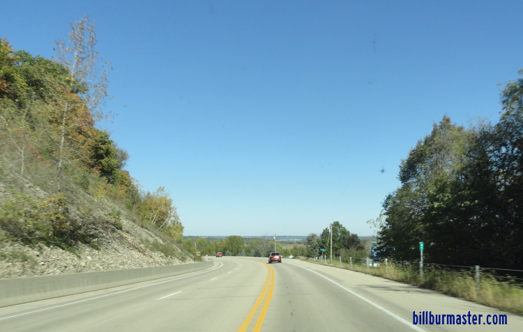
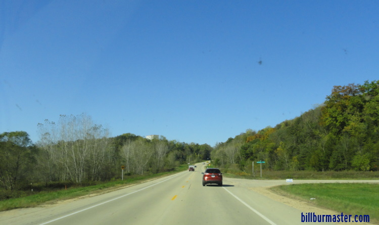
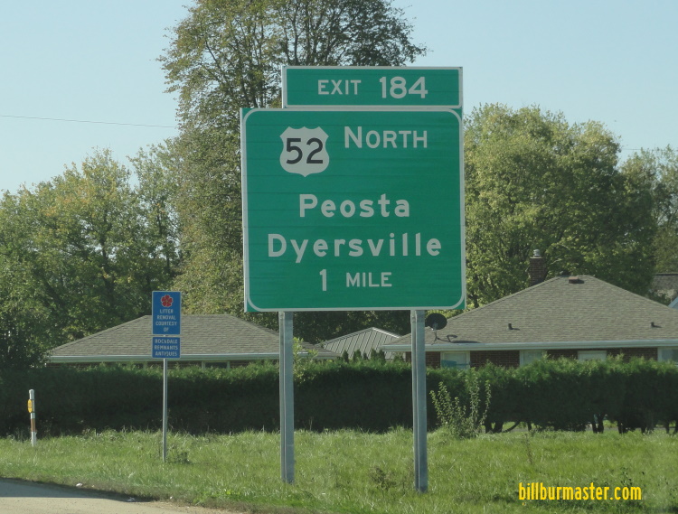
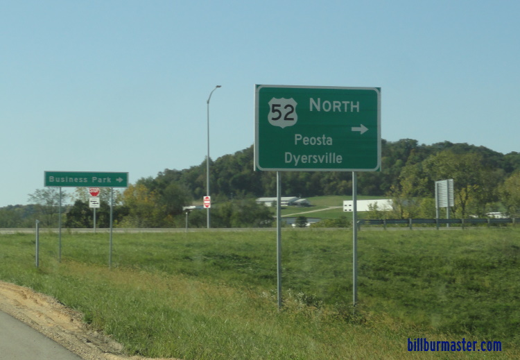
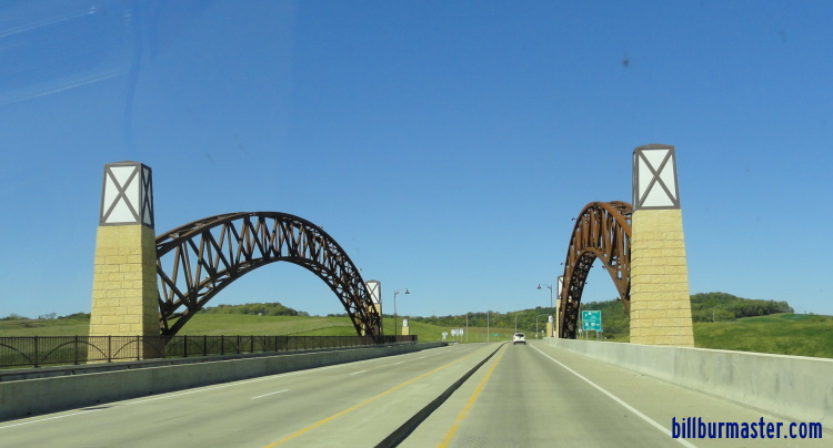
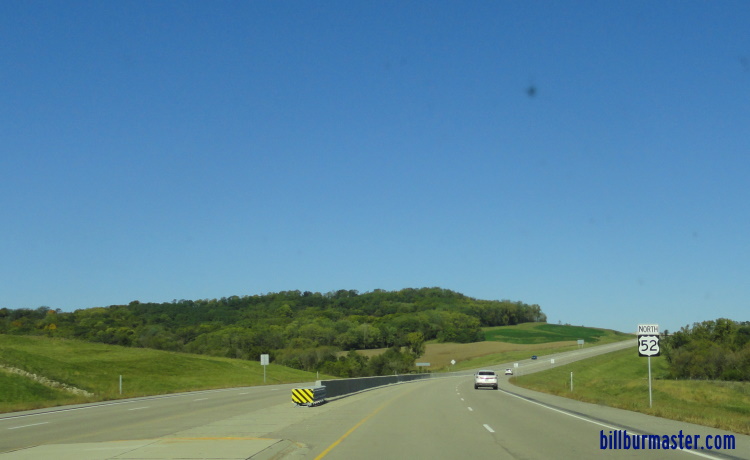
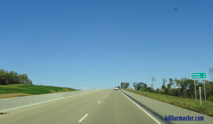
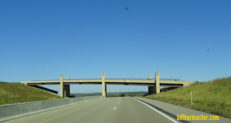
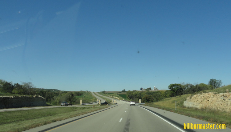
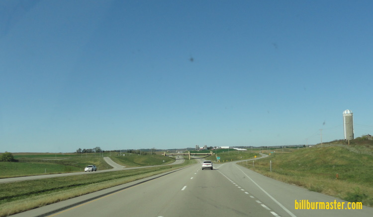
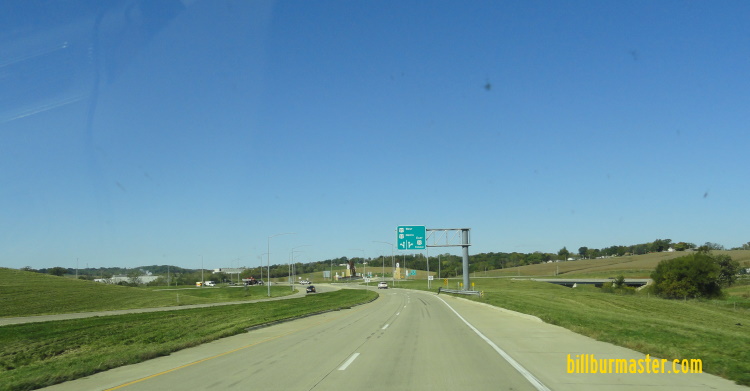
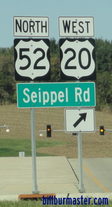
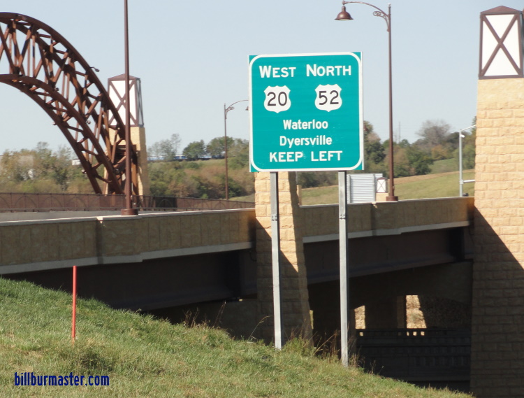
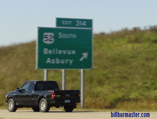
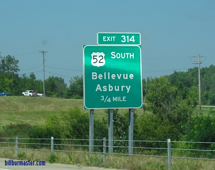
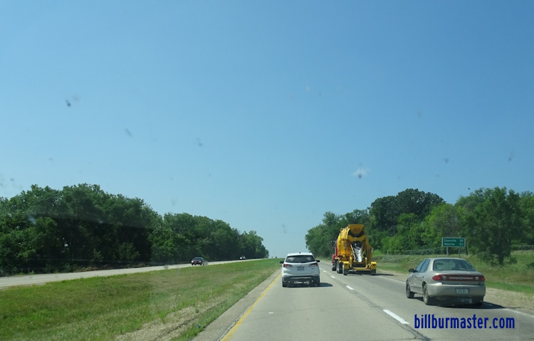
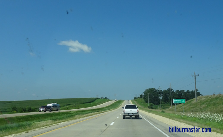
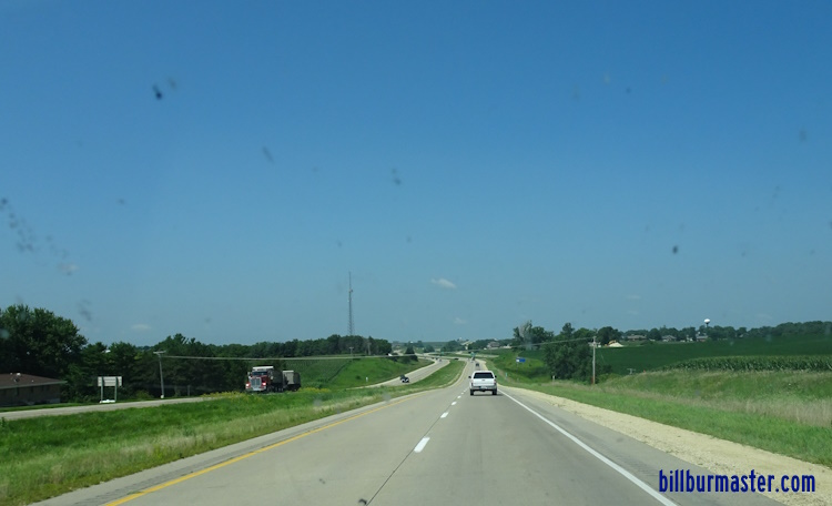
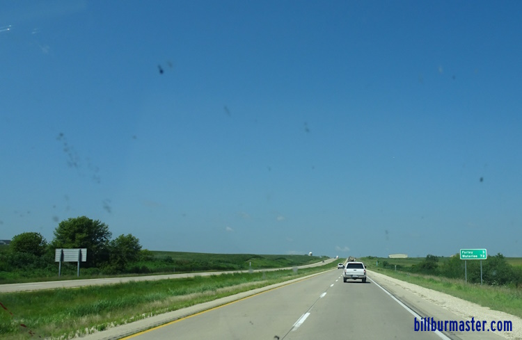
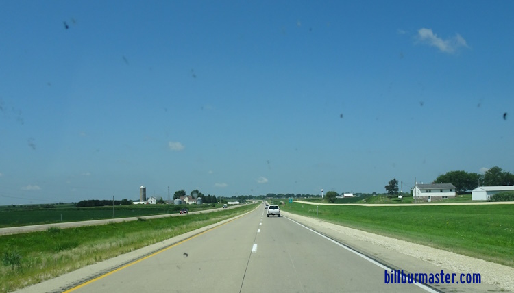
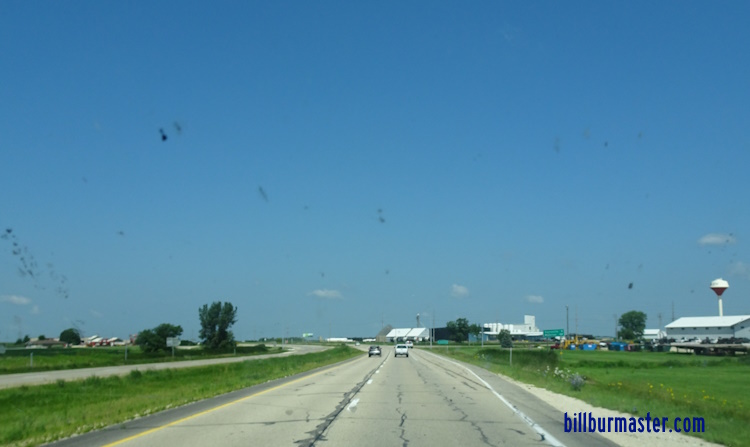
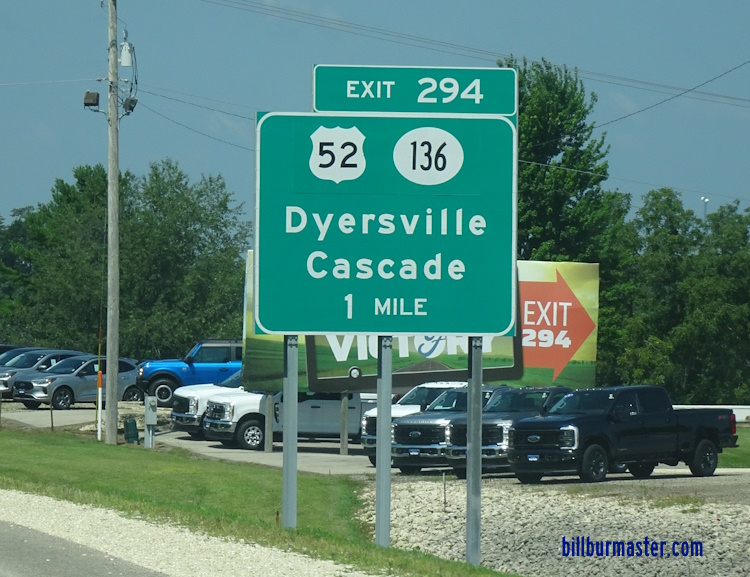
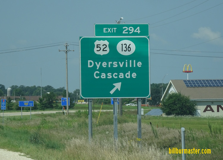
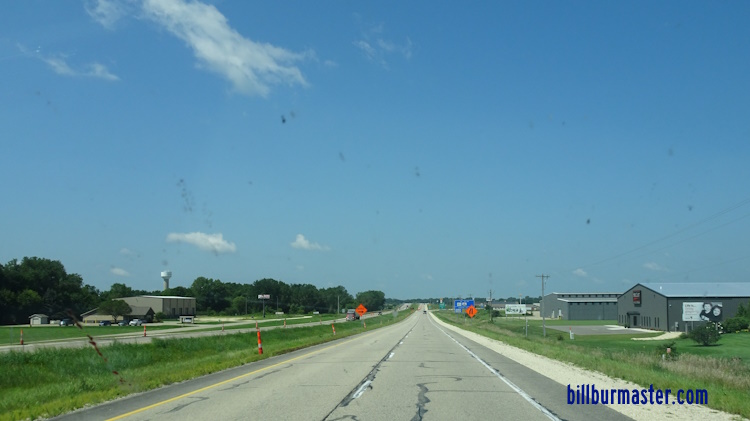
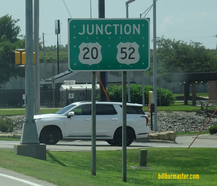
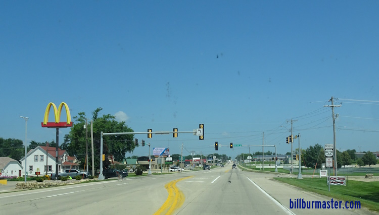
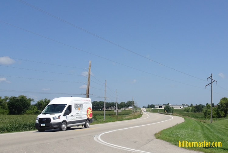
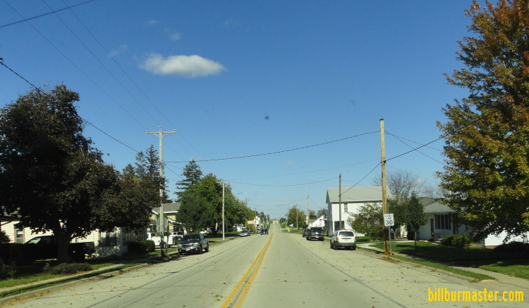
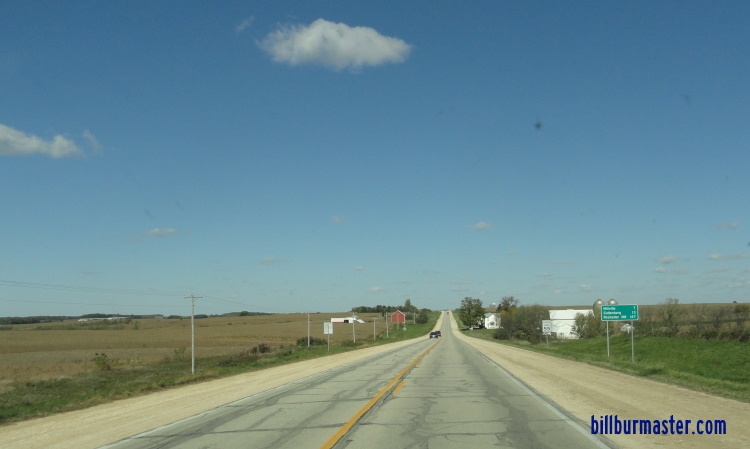
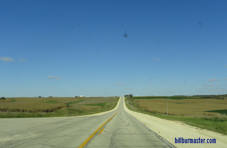
Photos from the former alignment of U.S. Rt. 52. NB U.S. Rt. 52/61/151 in Dubuque. Looking at the Mississippi River from NB U.S. Rt. 52/61/151. A BGS on EB U.S. Rt. 20. NB U.S. Rt. 52/61/151 near the U.S. Rt. 20 bridge. A BGS on NB U.S. Rt. 52/61/151. NB U.S. Rt. 52/WB IA St Rt 3 in Dubuque. A former guide marker. A former guide marker. Photos from the current alignment. NB U.S. Rt. 52 north of St. Catherine's Road. NB U.S. Rt. 52 south of north U.S. Rt. 61/151. A BGS on SB U.S. Rt. 61/151; NB U.S. Rt. 52. SB U.S. Rt. 61/151; NB U.S. Rt. 52 near Key West. SB U.S. Rt. 61/151; NB U.S. Rt. 52 north of south U.S. Rt. 61/151. SB U.S. Rt. 61/151; NB U.S. Rt. 52 at south U.S. Rt. 61/151. A guide sign on the ramps from NB U.S. Rt. 61/151. NB U.S. Rt. 52 at U.S. Rt. 61/151. NB U.S. Rt. 52 north of U.S. Rt. 61/151. NB U.S. Rt. 52 north of U.S. Rt. 61/151. NB U.S. Rt. 52 at old U.S. Rt. 151. NB U.S. Rt. 52 south of Cascade Road. NB U.S. Rt. 52 at Cascade Road. NB U.S. Rt. 52 near English Mill Road. NB U.S. Rt. 52 at U.S. Rt. 20. A guide marker on NB U.S. Rt. 52. A BGS on NB U.S. Rt. 52. A BGS on WB U.S. Rt. 20. A BGS on WB U.S. Rt. 20. WB U.S. Rt. 20/NB U.S. Rt. 20 west of east U.S. Rt. 20. WB U.S. Rt. 20/NB U.S. Rt. 52 west of DCH Y21. WB U.S. Rt. 20/NB U.S. Rt. 52 east of Epworth. WB U.S. Rt. 20/NB U.S. Rt. 52 west of Epworth. WB U.S. Rt. 20/NB U.S. Rt. 52 east of Farley. WB U.S. Rt. 20/NB U.S. Rt. 52 at DCH Y13. WB U.S. Rt. 20/NB U.S. Rt. 52 at Farley. A BGS on WB U.S. Rt. 20/NB U.S. Rt. 52. A BGS on WB U.S. Rt. 20/NB U.S. Rt. 52. WB U.S. Rt. 20/NB U.S. Rt. 52 at Dyersville. A junction marker on SB U.S. Rt. 52. NB U.S. Rt. 52 north of U.S. Rt. 20/IA St Rt 136. NB U.S. Rt. 52 north of Dyersville. NB U.S. Rt. 52 north of IA St Rt 3/136. NB U.S. Rt. 52 north of Luxemburg. NB U.S. Rt. 52 near Spoden Road.