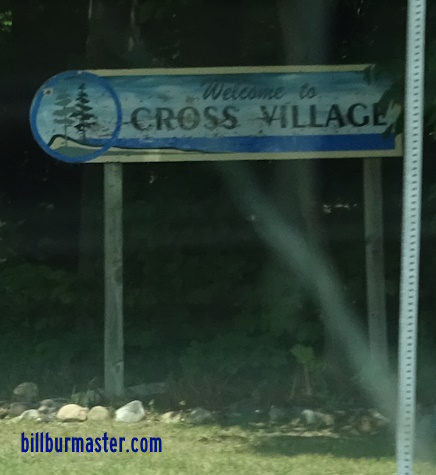
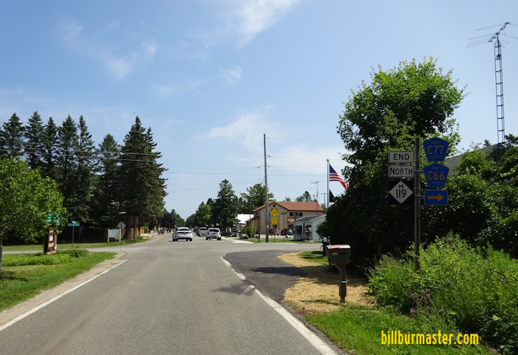
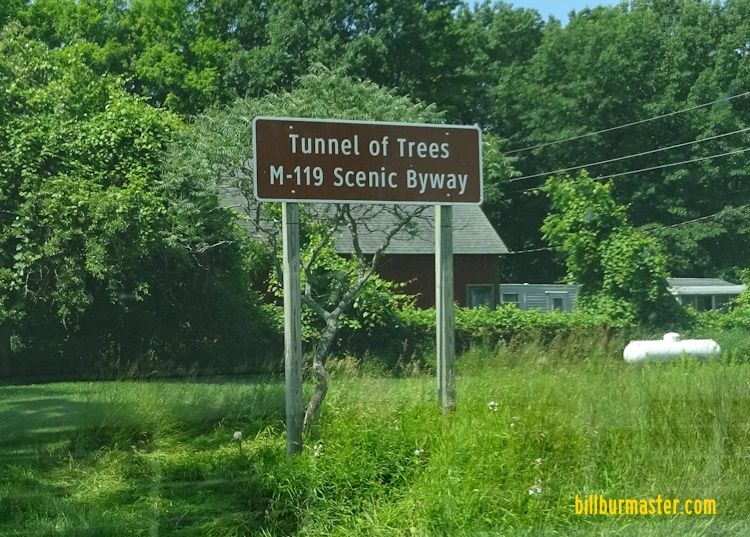
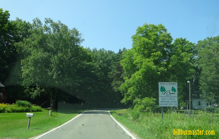
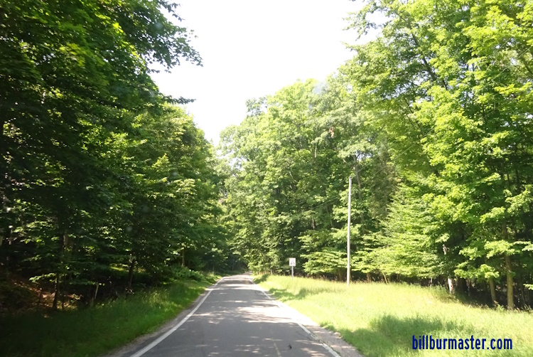
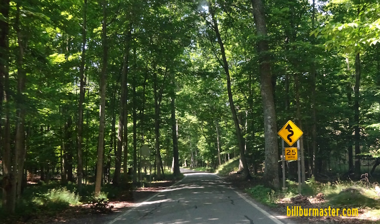
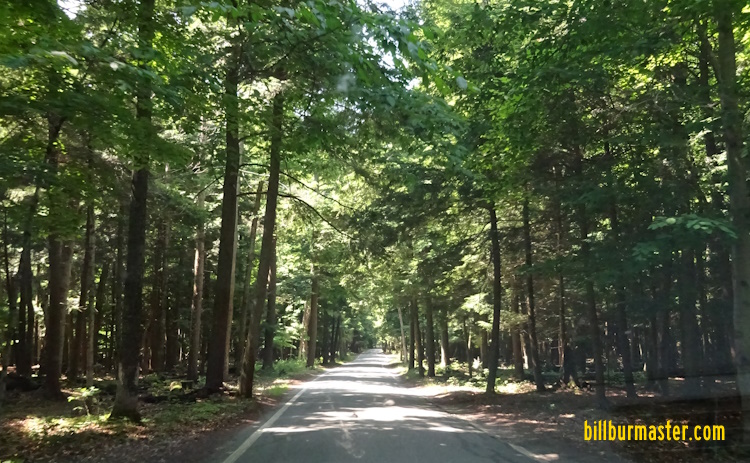
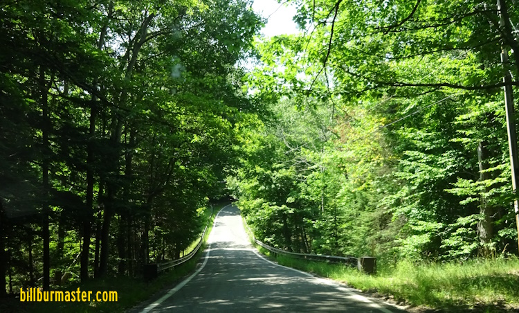
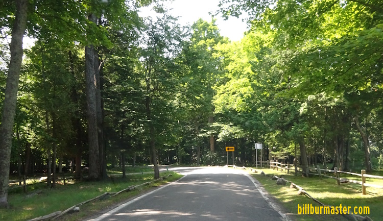
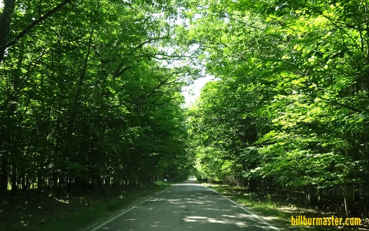
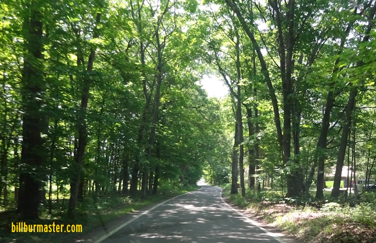
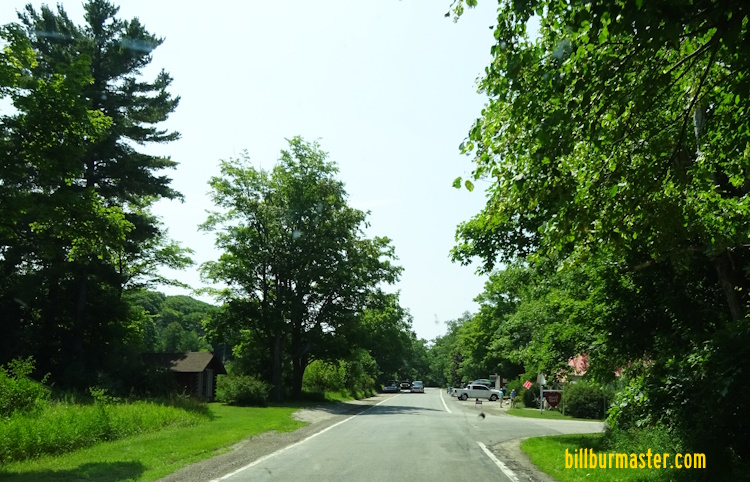
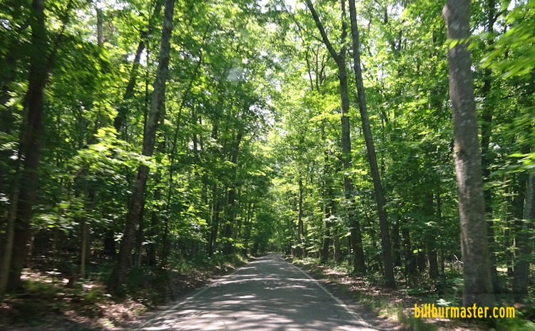
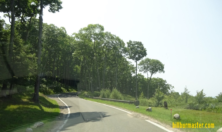
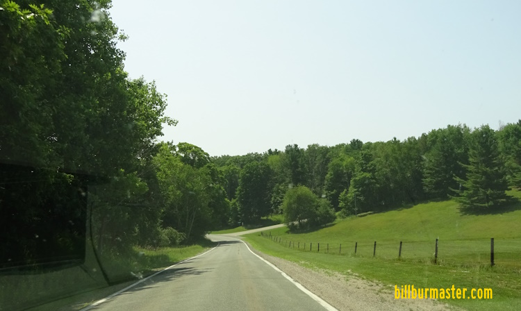
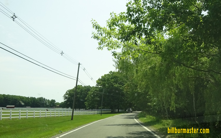
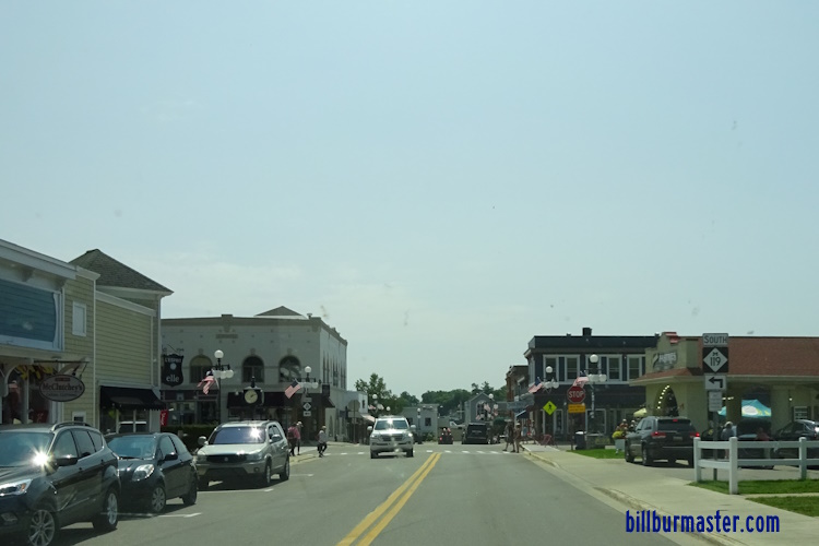
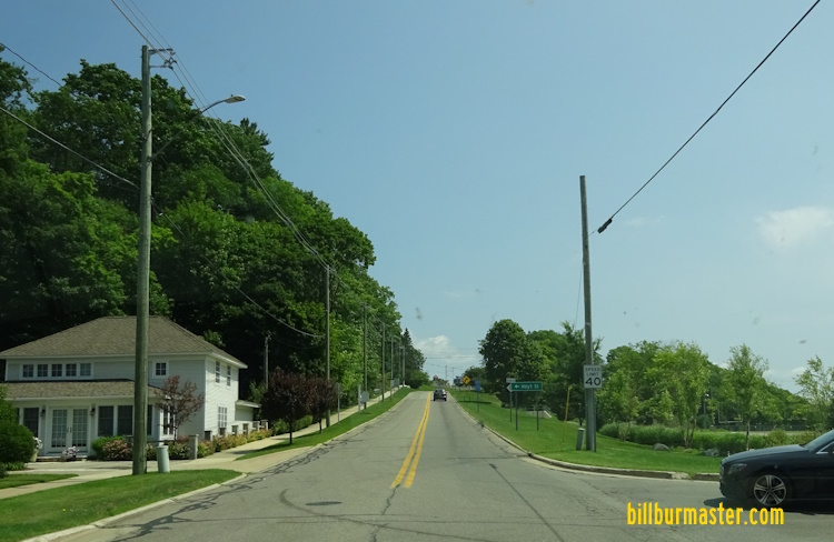
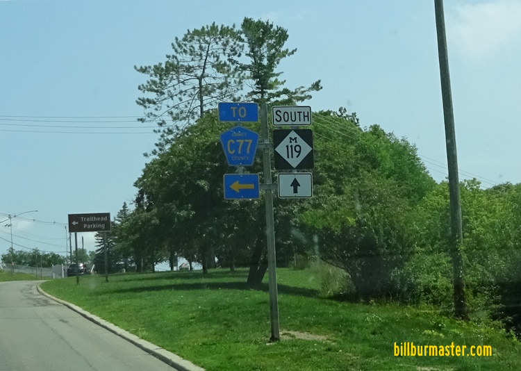
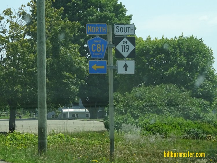
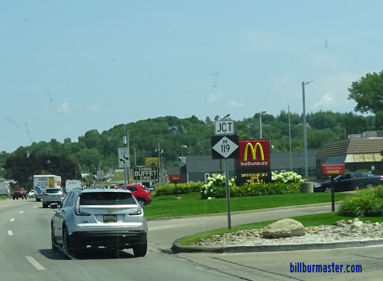
Michigan State Route 119 runs north-south in Western Emmet County. This highway runs from Emmet COunty Highway C66/C77, at Cross Village, to U.S. Rt. 31, at Bayview. It runs along the Lake Michigan shore through what is called the "Tunnel of Trees". The "Tunnel of Trees" is a unique stretch of state highway. In this portion there is no center line, and the highway in most portions is a lane and a half wide. Traffic shares the road with bicycle traffic. Along the Lake Michgian shore, MI St Rt 119 does move up and down and wides along the bluff edges. MI St Rt 119 passes through the following towns in Emmet County. Cross Village
Good Hart
Harbor Springs Bayview
MI St Rt 119 is not multi-plexed in Emmet County. MI St Rt 119 intersects the following highway in Emmet County. U.S. Rt. 31, at Bayview.
The northern end marker of MI St Rt 119. The northern end marker. A guide sign for the Tunnel of Trees. SB MI St Rt 119 at Cross Village. SB MI St Rt 119 south of Cross Village. SB MI St Rt 119 the Ryan Nature Preserve. SB MI St Rt 119 near Division Road. SB MI St Rt 119 south of Division Road. SB MI St Rt 119 north of Island View Road. SB MI St Rt 119 south of Island View Road. SB MI St Rt 119 north of Good Hart. SB MI St Rt 119 at Good Hart. SB MI St Rt 119 south of Good Hart. SB MI St Rt 119 near Middle Village Drive. SB MI St Rt 119 near Terpning Road. SB MI St Rt 119 north of Harbor Springs. SB MI St Rt 119 near Main Street in Harbor Springs. SB MI St Rt 119 near Hoyt Street in Harbor Springs. A guide marker on SB MI St Rt 119. SB MI St Rt 119 south of Harbor Springs. A guide marker on SB MI St Rt 119. SB MI St Rt 119 south of Woodview Drive. SB MI St Rt 119 near Round Lake. SB MI St Rt 119 north of U.S. Rt. 31. SB MI St Rt 119 at U.S. Rt. 31. A junction marker on NB U.S. Rt. 31. The southern end of MI St Rt 119. The southern end marker.