 | Interstate 70 Cooper/Saline County Line to Montgomery/Warren County Line |

WB I-70/U.S. Rt. 40 at the Montgomery/Warren County Line.

WB I-70/U.S. Rt. 40 near the Loutre River.

WB I-70/U.S. Rt. 40 at the Callaway/Montgomery County Line.

WB I-70/U.S. Rt. 40 east of Kingdom City.

A BGS on EB MO Sec St Rt F.

A junction marker on NB U.S. Rt. 54.

A BGS on EB U.S. Rt. 54.

A set of guide markers on EB U.S. Rt. 54.

WB I-70/U.S. Rt. 40 east of Columbia.

A BGS on SB U.S. Rt. 63.

A junction marker on SB U.S. Rt. 63.

A BGS on EB MO Sec St Rt AC.


A guide marker on SB U.S. Rt. 63.

A set of BGS's on NB U.S. Rt. 63.

EB I-70/U.S. Rt. 40 at BUSN Loop I-70, near U.S. Rt. 63.


A set of guide markers on SB MO St Rt 763 in Columbia.

A guide marker on NB MO St Rt 763.

A BGS on NB MO St Rt 763.

EB I-70/U.S. Rt. 40 at MO St Rt 163.

A guide marker on NB MO St Rt 163 in Columbia.

A guide marker on NB MO St Rt 163 at I-70/U.S. Rt. 40.

A BGS on BUSN Loop I-70.


A set of guide markers on EB MO St Rt 740.

A guide marker on NB MO Sec St Rt E.

WB I-70/U.S. Rt. 40 west of Columbia.

WB I-70 east of the Missouri River, near Rocheport.

WB I-70 near the Missouri River going through cut rock.

WB I-70 at the Missouri River.

WB I-70 crossing the Missouri River.

A guide marker on WB BUSN Loop I-70/U.S. Rt. 40; SB MO St Rt 5, near Boonville.

A guide marker on NB MO St Rt 5.
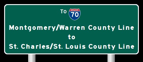
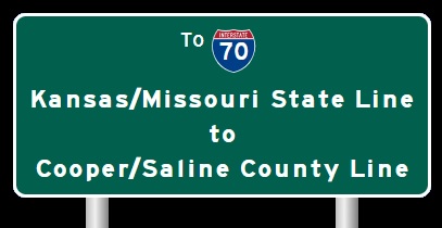
| CONTINUE TO: |
| EASTBOUND: | WESTBOUND: |
 |  |