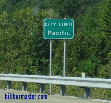
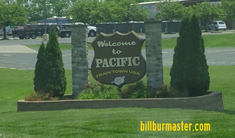
U.S. Federal Route 50 runs east-west across the central portion for Franklin County. From the St. Louis/Franklin County Line to M.P. 247 this highway runs along Interstate 44. U.S. Rt. 50 passes through the following towns in Franklin County. Pacific
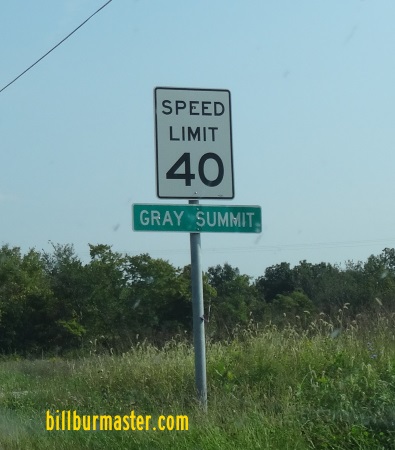
Gray Summit
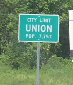
Villa Ridge Union
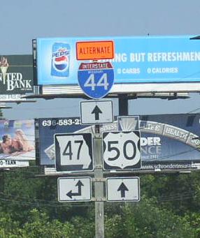
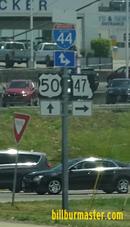
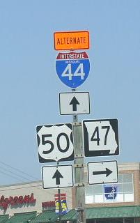
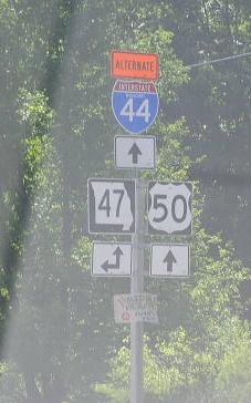
Beaufort Leslie Gerald U.S. Rt. 50 is multi-plexed in Franklin County. Interstate 44, from the Franklin/St. Louis County Line to M.P. 247.
Missouri Seocndary State Route UU, near Union. Missouri Secondary State Route BB, near Union. Missouri Secondary State Route AJ, near Union. Missouri Secondary State Route EE, near Beaufort. Missouri State Route 185, at Beaufort. Missouri Secondary State Route CC, at Leslie. Missouri Secondary State Route C, near Leslie. Missouri Secondary State Route H, at Gerald. Missouri Secondary State Route Y, at Gerald.
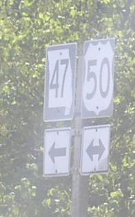
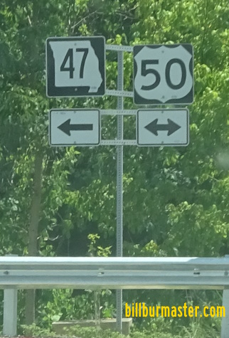
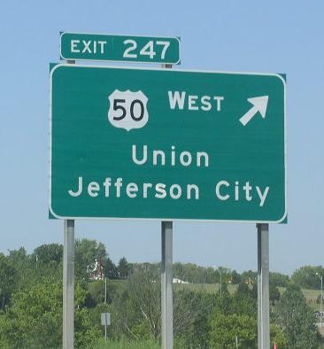
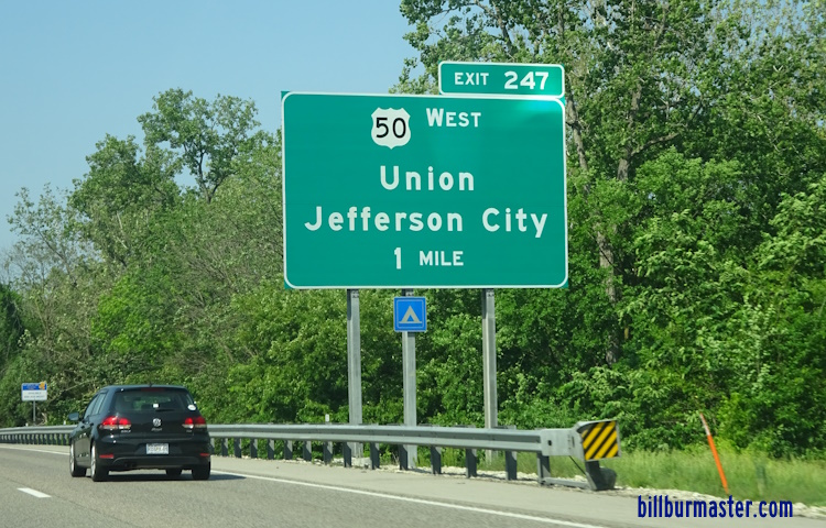
WB U.S. Rt. 50 west of MO St Rt 47 in Union. EB U.S. Rt. 50/SB MO St Rt 47 near the Bourbeuse River. EB U.S. Rt. 50 east of south MO St Rt 47. WB U.S. Rt. 50 at Union. EB U.S. Rt. 50 east of Union. WB U.S. Rt. 50 west of I-44. A BGS on WB I-44/U.S. Rt. 50. A BGS on EB I-44/U.S. Rt. 50. A BGS on EB I-44/U.S. Rt. 50. A BGS on WB I-44/U.S. Rt. 50. WB I-44/U.S. Rt. 50 near Villa Ridge. A junction marker on WB MO St Rt 100. A BGS on WB MO St Rt 100. A junction marker on EB MO St Rt 100. A guide marker on MO St Rt 100. EB I-44/U.S. Rt. 50 near Gray Summit. WB I-44/U.S. Rt. 50 west of M.P. 257. EB I-44/U.S. Rt. 50 near the Franklin/St. Louis County Line. WB I-44/U.S. Rt. 50 at the Franklin/St. Louis County Line.