 | Interstate 65 Lafayette to Indianapolis |  |  |

SB I-65 at the Hendricks/Boone County Line.

A travel advisory sign on SB I-65/EB U.S. Rt. 52.

SB I-65/EB U.S. Rt. 52 south of IN St Rt 267.

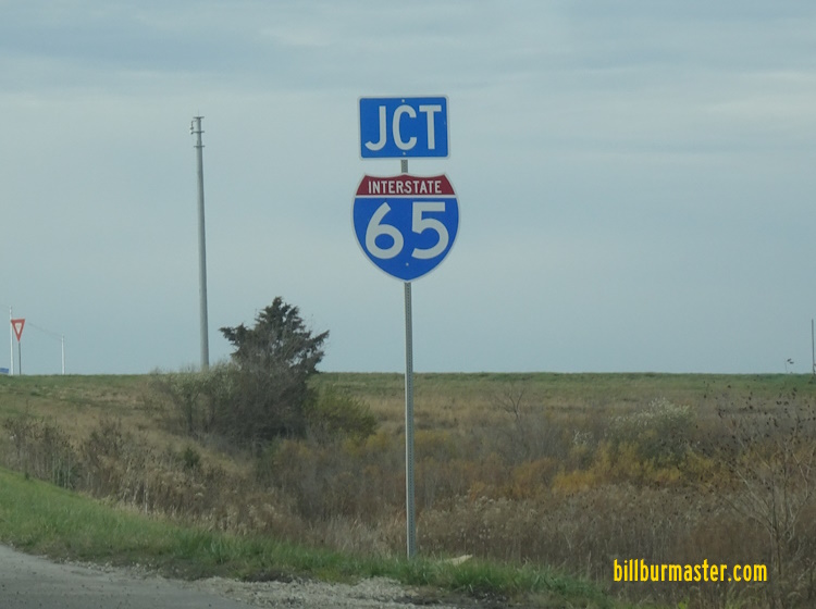
A junction marker on S 400E Rd.

NB I-65/WB U.S. Rt. 52 north of IN St Rt 267.

SB I-65/EB U.S. Rt. 52 south of IN St Rt 39.

SB I-65/EB U.S. Rt. 52 at IN St Rt 39.

SB I-65/EB U.S. Rt. 52 south of IN St Rt 32.

SB I-65/EB U.S. Rt. 52 at IN St Rt 32.

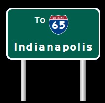
NB I-65 at U.S. Rt. 52 at Lebanon.

NB I-65 north of west U.S. Rt. 52.

SB I-65 at Lebanon.

SB I-65 north of Lebanon.

SB I-65 south of IN St Rt 47.

NB I-65 at IN St Rt 47.

NB I-65 north of IN St Rt 47.

SB I-65 at the Clinton/Boone County Line.

SB I-65 south of IN St Rt 28.
A junction marker on WB IN St Rt 28.

A guide marker on SB U.S. Rt. 421/IN St Rt 39.

SB I-65 at the Tippecanoe/Clinton County Line.

SB I-65 south of IN St Rt 38.

NB I-65 north of IN St Rt 38.

A guide marker on NB U.S. Rt. 231 in Lafayette.

A guide marker on EB U.S. Rt. 52/SB U.S. Rt. 231.

A guide marker on WB IN St Rt 38.

A junction marker on WB IN St Rt 38.

SB I-65 south of IN St Rt 26.

SB I-65 south of IN St Rt 26.

A set of guide markers on EB IN St Rt 26.

NB I-65 at IN St Rt 26.

NB I-65 at IN St Rt 26.

NB I-65 north of IN St Rt 26.

A guide marker from when IN St Rt 25 was routed with I-65 at Lafayette.

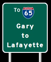
SB I-65 near Lafayette.

SB I-65 south of IN St Rt 25.
SB I-65 at IN St Rt 25.

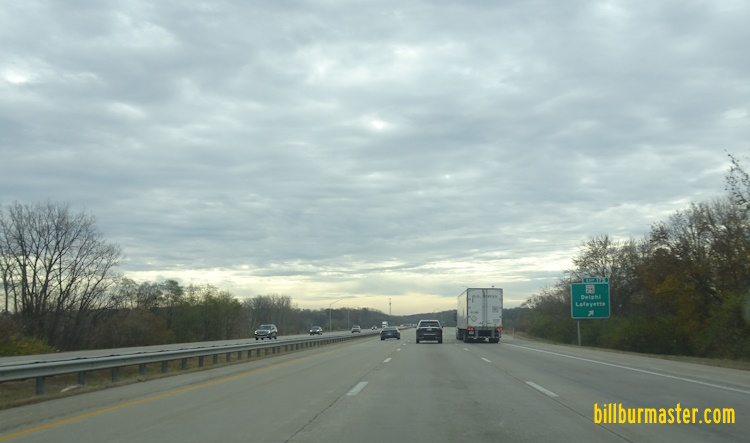
SB I-65 south of IN St Rt 43.
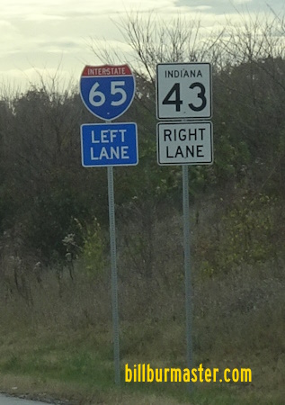
A guide marker on SB IN St Rt 43.
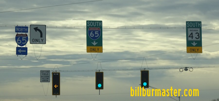
A guide marker on SB IN St Rt 43.

A guide marker on WB U.S. Rt. 52/NB U.S. Rt. 231.

A guide marker on WB U.S. Rt. 52/NB U.S. Rt. 231.
| CONTINUE TO: |
| NORTHBOUND: | SOUTHBOUND: |
 |  |