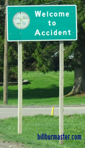
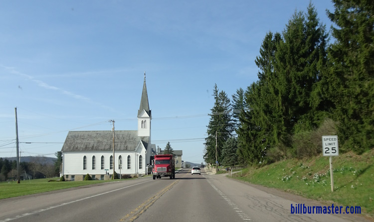
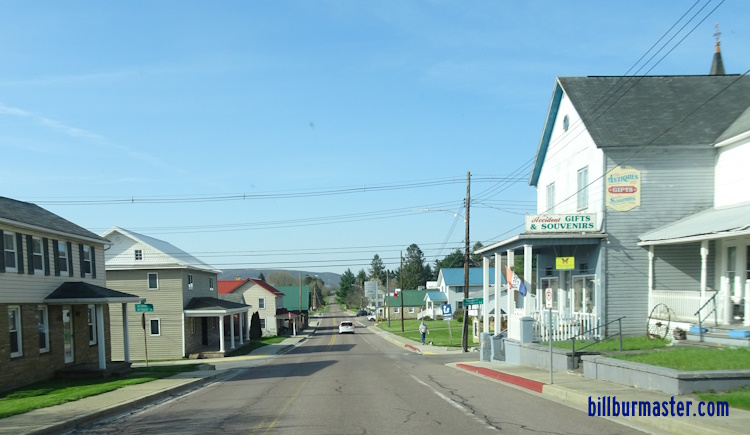
U.S. Federal Route 219 is a north-south highway across Garrett County. It runs from the Maryland/Pennsylvania State Line, northeast of Grantsville, to the Maryland/West Virginia State Line, near Gnegy Church. U.S. Rt. 219 passes through the following towns in Garrett County. Accident
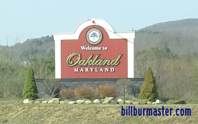
Mc Henry Oakland
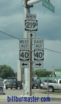
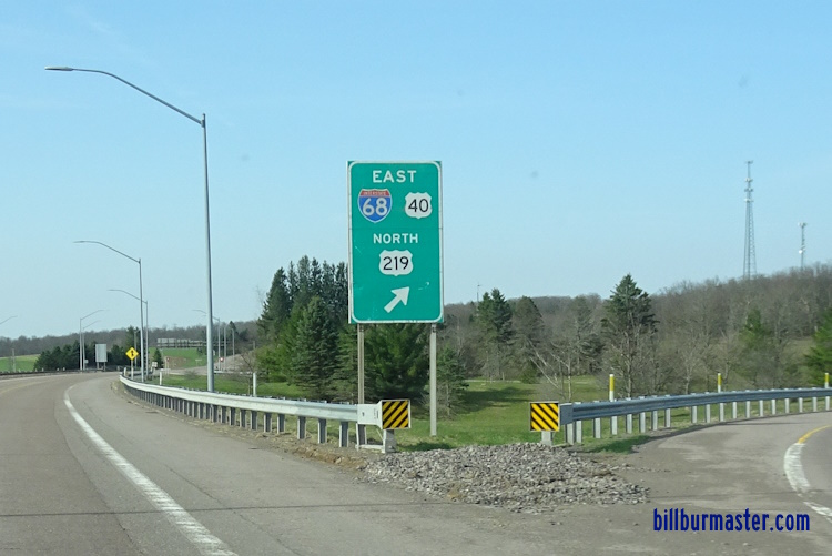
Redhouse U.S. Rt. 219 is multi-plexed in Garrett County. Interstate 68, from near Grantsville to near Keyers Ridge. U.S. Rt. 40, from near Grantsville to near Keyers Ridge.
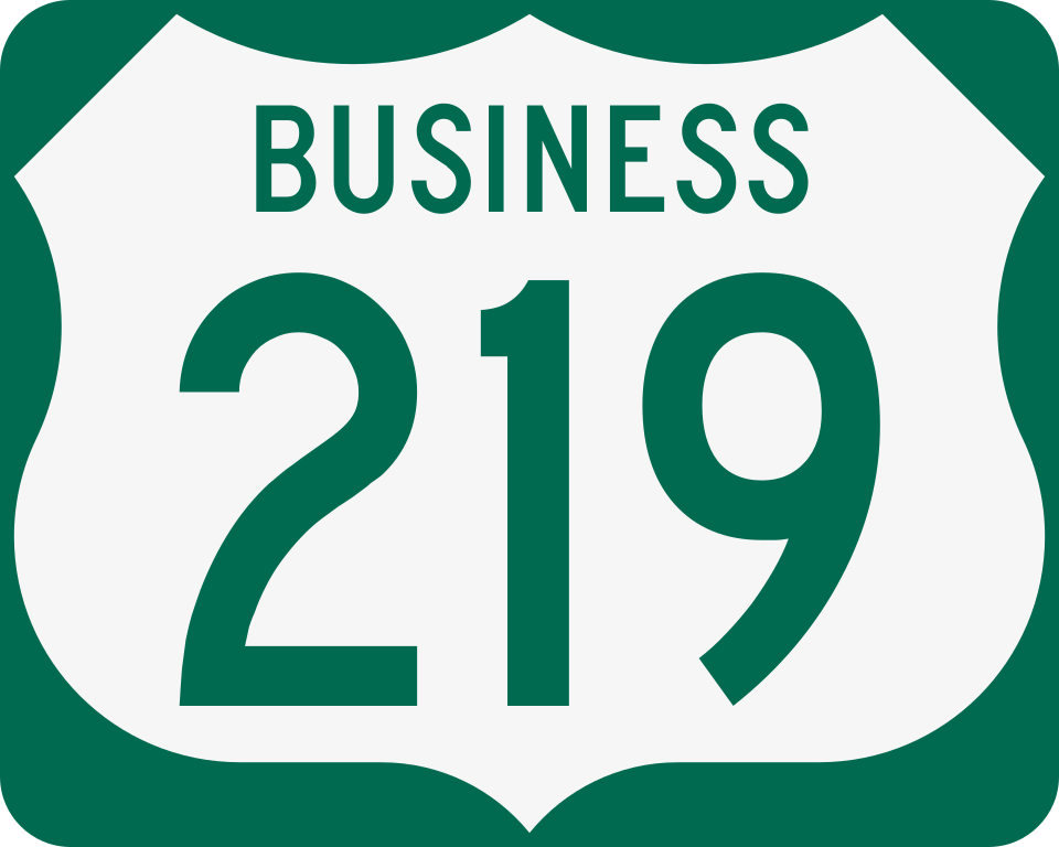
U.S. Rt. 219 intersects the following highways in Garrett County. BUSN U.S. Rt. 219, near Grantville. ALT U.S. Rt. 40, near Grantsville.
Maryland State Route 135, near Mountain Lake Park. U.S. Rt. 50, at Redhouse.
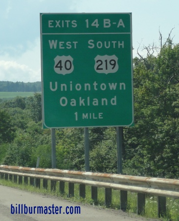
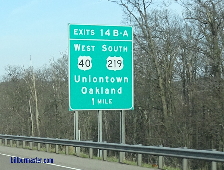
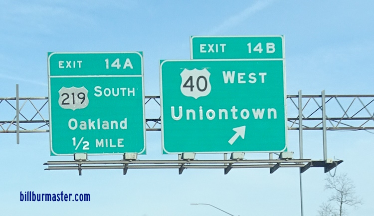
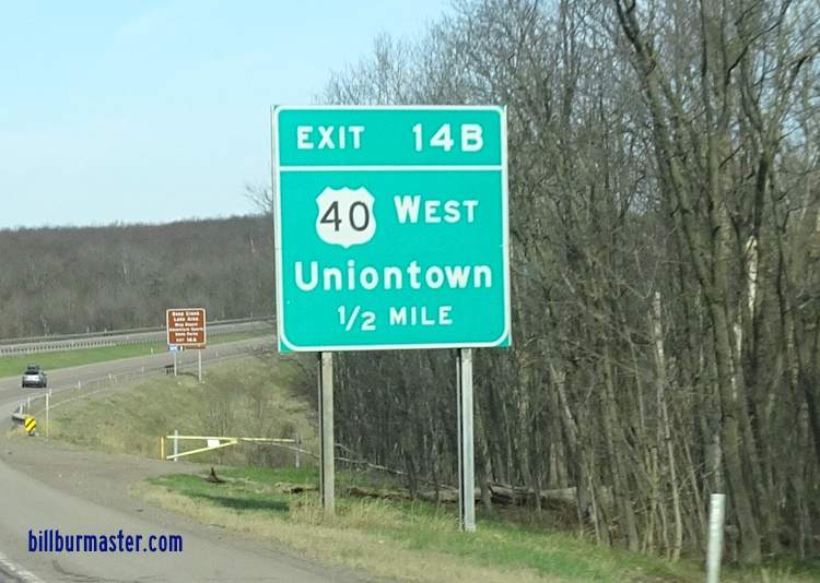
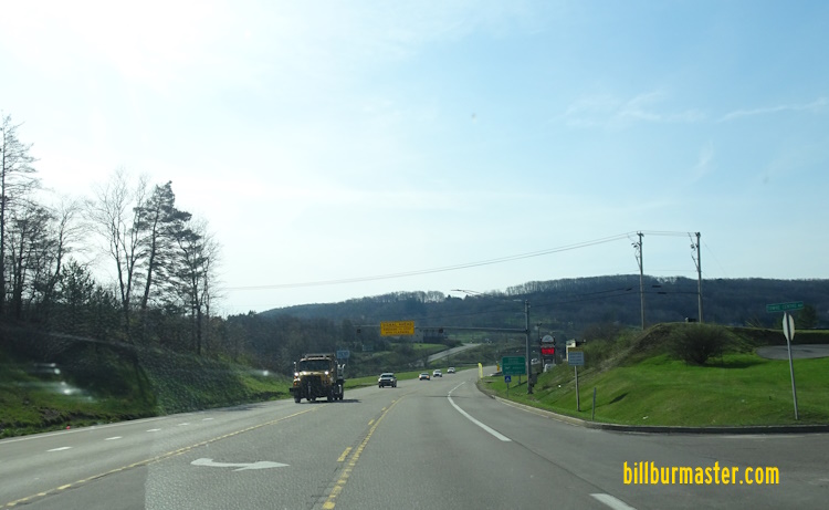
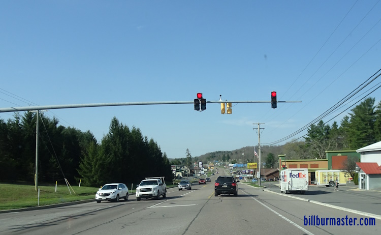
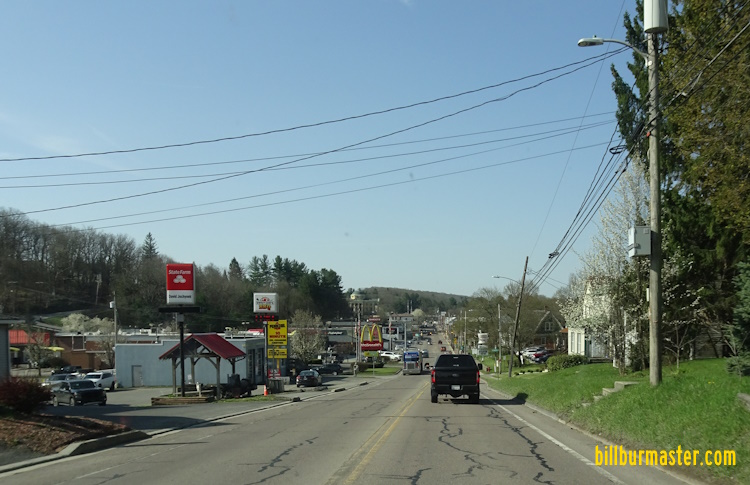
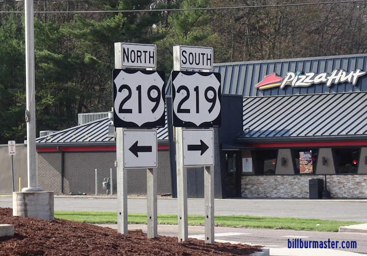
Branches of U.S. Rt. 219 in Garrett County. A BGS on WB I-68/U.S. Rt. 40. A BGS on WB I-68/U.S. Rt. 40. WB I-68/U.S. Rt. 40; SB U.S. Rt. 219 west of BUSN U.S. Rt. 219. WB I-68/U.S. Rt. 40 east of MD St Rt 495. A junction marker on SB MD St Rt 495. WB I-68/U.S. Rt. 40; SB U.S. Rt. 219 at MD St Rt 495. WB I-68/U.S. Rt. 40; SB U.S. Rt. 219 at Grantsville. WB I-68/U.S. Rt. 40; SB U.S. Rt. 219 west of MD St Rt 495. WB I-68/U.S. Rt. 40; SB U.S. Rt. 219 near Spiker Run. WB I-68/U.S. Rt. 40; SB U.S. Rt. 219 near Keyers Ridge. WB I-68 near Keyers Ridge. WB I-68/U.S. Rt. 40; SB U.S. Rt. 219 east of M.P. 14. WB I-68/U.S. Rt. 40; SB U.S. Rt. 219 at M.P. 14. WB I-68/U.S. Rt. 40; SB U.S. Rt. 219 at M.P. 14. A BGS on WB I-68/U.S. Rt. 40; SB U.S. Rt. 219. A BGS on WB I-68/U.S. Rt. 40; SB U.S. Rt. 219. A BGS on WB I-68/U.S. Rt. 40; SB U.S. Rt. 219. A BGS on WB I-68/U.S. Rt. 40; SB U.S. Rt. 219. A BGS on WB I-68/U.S. Rt. 40; SB U.S. Rt. 219. A BGS on EB U.S. Rt. 40/SB U.S. Rt. 219. A BGS on EB U.S. Rt. 40/SB U.S. Rt. 219. A BGS on EB U.S. Rt. 40/SB U.S. Rt. 219. A BGS on WB I-68/U.S. Rt. 40; SB U.S. Rt. 219. SB U.S. Rt. 219 south of I-68/U.S. Rt. 40. SB U.S. Rt. 219 near Mill Run. SB U.S. Rt. 219 near Rabbit Hollow Road. SB U.S. Rt. 219 near the Overlook Rest Area. SB U.S. Rt. 219 south of the Overlook Rest Area. SB U.S. Rt. 219 near Fish Hatchery Road. SB U.S. Rt. 219 at Bear Creek. SB U.S. Rt. 219 north of Accident. SB U.S. Rt. 219 north of Accident-Bittinger Road. SB U.S. Rt. 219 at Accident-Bittinger Road. SB U.S. Rt. 219 near South Street in Accident. SB U.S. Rt. 219 south of Accident. SB U.S. Rt. 219 at MD St Rt 42. SB U.S. Rt. 219 south of MD St Rt 42. SB U.S. Rt. 219 near Deep Creek Drive. SB U.S. Rt. 219 near Sang Run Road. SB U.S. Rt. 219 near Rock Lodge Road. SB U.S. Rt. 219 near Mountainview Drive. SB U.S. Rt. 219 near Glendale Road. SB U.S. Rt. 219 south of McHenry. SB U.S. Rt. 219 north of Oakland. SB U.S. Rt. 219 near 4th in Oakland. SB U.S. Rt. 219 sotuh of 3rd in Oakland. A set of guide markers in Oakland. SB U.S. Rt. 219 at MD St Rt 39.