U.S. Federal Route 40 runs east-west in Garrett County. From the Allegany/Garrett County Line, near Frostburg, to Keyers Ridge, it runs along Interstate 68. At exit 14, it heads northeast to the Pennsylvania/Maryland State Line. U.S. Rt. 40 passes through the following town in Garrett County. Keyers Ridge U.S. Rt. 40 is multi-plexed in Garretts County. Interstate 68, from the Allegany/Garrett County Line to near Keyers Ridge.
U.S. Rt. 219, from near Grantsville to near Keyers Ridge.
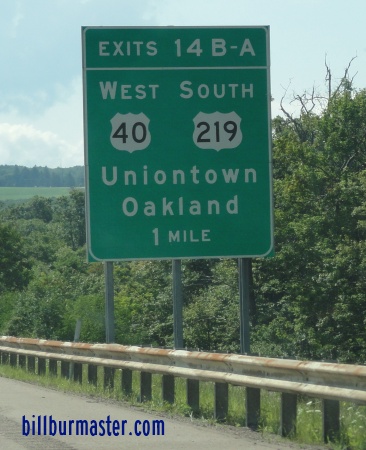
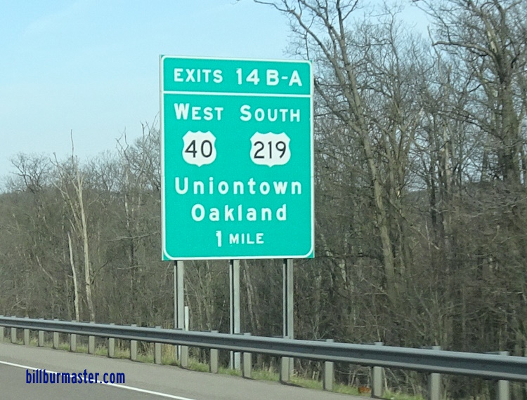
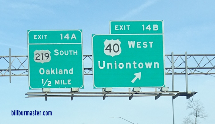
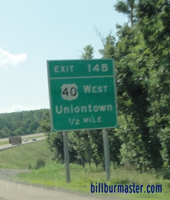
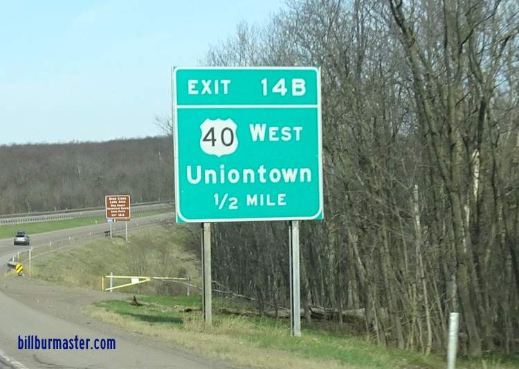
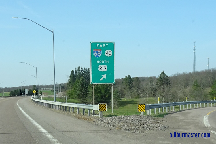
WB I-68/U.S. Rt. 40 at the Garrett/Allegany County Line. WB I-68/U.S. Rt. 40 east of MD St Rt 546. WB I-68/U.S. Rt. 40 at MD St Rt 546. WB I-68/U.S. Rt. 40 west of MD St Rt 546. WB I-68/U.S. Rt. 40 east of Lower New Germany Road. WB I-68/U.S. Rt. 40 at Lower New Germany Road. WB I-68/U.S. Rt. 40 near Avilton. WB I-68/U.S. Rt. 40 at north U.S. Rt. 219. WB I-68/U.S. Rt. 40; SB U.S. Rt. 219 west of BUSN U.S. Rt. 219. WB I-68/U.S. Rt. 40 east of MD St Rt 495. A junction marker on SB MD St Rt 495. WB I-68/U.S. Rt. 40; SB U.S. Rt. 219 at MD St Rt 495. WB I-68/U.S. Rt. 40; SB U.S. Rt. 219 at Grantsville. WB I-68/U.S. Rt. 40; SB U.S. Rt. 219 west of MD St Rt 495. WB I-68/U.S. Rt. 40; SB U.S. Rt. 219 near Spiker Run. WB I-68/U.S. Rt. 40; SB U.S. Rt. 219 near Keyers Ridge. WB I-68 near Keyers Ridge. WB I-68/U.S. Rt. 40; SB U.S. Rt. 219 east of M.P. 14. WB I-68/U.S. Rt. 40; SB U.S. Rt. 219 at M.P. 14. WB I-68/U.S. Rt. 40; SB U.S. Rt. 219 at M.P. 14. A BGS on WB I-68/U.S. Rt. 40; SB U.S. Rt. 219. A BGS on WB I-68/U.S. Rt. 40; SB U.S. Rt. 219. A BGS on WB I-68/U.S. Rt. 40; SB U.S. Rt. 219. A BGS on WB I-68/U.S. Rt. 40; SB U.S. Rt. 219. A BGS on WB I-68/U.S. Rt. 40; SB U.S. Rt. 219. A BGS on EB U.S. Rt. 40/SB U.S. Rt. 219. A BGS on EB U.S. Rt. 40/SB U.S. Rt. 219. A BGS on EB U.S. Rt. 40/SB U.S. Rt. 219.