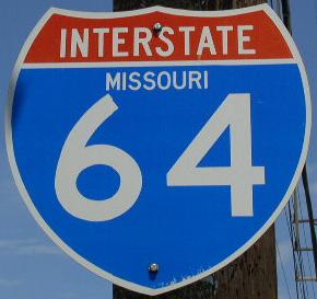
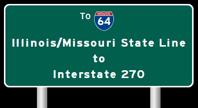
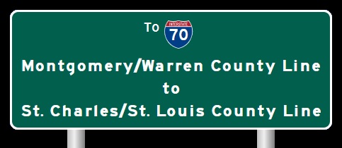
 | Interstate 64 Interstate 270 to Interstate 70, U.S. 40/61-Wentzville |  |

EB I-64/U.S. Rt. 40; SB U.S. Rt. 61 west of I-270.

WB I-64/U.S. Rt 40; NB U.S Rt. 61 west of I-270.

WB I-64/U.S. Rt. 40; NB U.S. Rt. 61 near Mason.

EB I-64/U.S. Rt. 40; SB U.S. Rt. 61 west of Mason.

WB I-64/U.S.Rt. 40; NB U.S. Rt. 61 in Town and Country.

A BGS in Chesterfield.

A BGS on NB MO St Rt 141.

A BGS on NB MO St Rt 141.

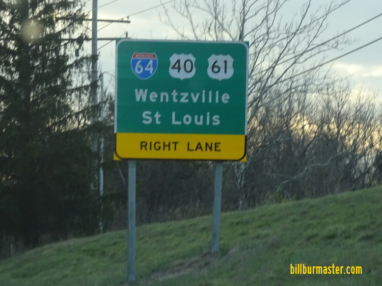
A BGS on WB I-64/U.S. Rt. 40; NB U.S. Rt. 61.

WB I-64/U.S. Rt. 40; NB U.S. Rt. 61 at MO St Rt 141.

EB I-64/U.S. Rt. 40; SB U.S. Rt. 61 west of MO St Rt 141.

WB I-64/U.S. Rt. 40; NB U.S. Rt. 61 near Maryville Center.

WB I-64/U.S. Rt. 40; NB U.S. Rt 61 near Timberlake Manor.

WB I-64/U.S. Rt. 40; NB U.S. Rt. 61 near Chesterfield Parkway.

WB I-64/U.S. Rt. 40; NB U.S Rt 61 in Chesterfield.

A BGS on SB MO St Rt 340.

A guide marker on NB MO St Rt 340.

A BGS on NB MO St Rt 340.

A BGS on Chesterfield Pkwy West.

WB I-64/U.S. Rt. 40; NB U.S. Rt. 61 wast of Chesterfield Parkway.

WB I-64/U.S. Rt. 40; NB U.S. Rt. 61 at Boone's Crossing.

WB I-64/U.S Rt. 40; NB U.S. Rt. 61 at Boone's Crossing.

WB I-64/U.S. Rt. 40; NB U.S. Rt. 61 at Boone's Crossing.

WB I-64/U.S. Rt. 40; NB U.S. Rt. 61 west of Boone's Crossing.

EB I-64/U.S. Rt. 40; SB U.S. Rt. 61 near Spirit of St. Louis Airport.

EB I-64/U.S. Rt. 40; SB U.S. Rt. 61 east of Chesterfield Airport Road.

WB I-64/U.S. Rt. 40; NB U.S. Rt. 61 near the Missouri River.

EB I-64/U.S. Rt. 40; SB U.S. Rt. 61 entering the Chesterfield Valley.

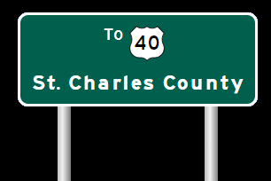
EB I-64/U.S. Rt. 40; SB U.S. Rt. 61 at the St. Charles/St. Louis County Line.

EB I-64/U.S. Rt. 40; SB U.S. Rt. 61 crossing the Missouri River.

EB I-64/U.S. Rt. 40; SB U.S. Rt. 61 at the Missouri River.

WB I-64/U.S. Rt. 40; NB U.S. Rt. 61 has the older bridge across the Missouri River. There are no shoulders and no passing on the bridge.

A closer look at the signs on the bridge.

WB I-64/U.S. Rt. 40; NB U.S. Rt. 61 crossing the Missouri River.

WB I-64/U.S. Rt. 40; NB U.S. Rt. 61 at the Boone Bridge. (October, 2022)

WB I-64/U.S. Rt. 40; NB U.S. Rt. 61 at the Boone Bridge. (October, 2022)

WB I-64/U.S. Rt. 40; NB U.S. Rt. 61 at the Boone Bridge. (October, 2022)

WB I-64/U.S. Rt. 40; NB U.S. Rt. 61 west of the Boone Bridge.

EB I-64/U.S. Rt. 40; SB U.S. Rt. 61 east of Research Park Circle.

WB I-64/U.S. Rt. 40; NB U.S. Rt. 61 at Research Park Circle.

WB I-64/U.S. Rt. 40; NB U.S. Rt. 61 near Weldon Springs.

WB I-64/U.S. Rt. 40; NB U.S. Rt. 61 east of MO St Rt 94.

EB I-64/U.S. Rt. 40; NB U.S. Rt. 61 east of MO St Rt 94.

A junction marker on WB MO St Rt 94.
A BGS on WB MO St Rt 94.

A BGS on WB MO St Rt 94.

The former western end marker near Welson Springs.

WB I-64/U.S. Rt. 40; NB U.S. Rt. 61 at MO Sec St Rt DD.

WB I-64/U.S. Rt. 40; NB U.S. Rt. 61 south of MO St Rt 364/MO Sec St Rt N.

WB I-64/U.S. Rt. 40; NB U.S. Rt. 61 near MO Sec St Rt N.

WB I-64/U.S. Rt. 40; NB U.S. Rt. 61 at Town Square Road.

EB I-64/U.S. Rt. 40; SB U.S Rt. 61 south of MO St Rt 364/MO Sec St Rt N.

A BGS on WB MO St Rt 364.

A BGS on WB MO St Rt 364.

A BGS on WB MO St Rt 364.

A BGS on EB MO St Rt 364.

A BGS on EB MO St Rt 364.

A BGS on WB MO St Rt 364.

A junction marker on MO Sec St Rt N.

EB I-64/U.S. Rt. 40; SB U.S. Rt. 61 at MO St Rt 364/MO Sec St Rt N.

EB I-64/U.S. Rt. 40; SB U.S. Rt. 61 west of MO St Rt 364/MO Sec St Rt N.

WB I-64/U.S. Rt. 40; NB U.S. Rt. 61 west of MO St Rt 364/MO Sec St Rt N.

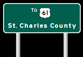
WB I-64/U.S. Rt. 40; NB U.S. Rt. 61 near Lake St. Louis.

The current western end marker near I-70. (September, 2010)

EB I-64/U.S. Rt. 40; SB U.S. Rt. 61 east of Prospect Road.

WB I-64/U.S. Rt. 40; NB U.S. Rt. 61 at Prospect Road.

A BGS on EB I-70/U.S. Rt. 40.
| CONTINUE TO: |
| EASTBOUND: | WESTBOUND: |
 |  |
| WESTBOUND: | NORTHBOUND: |
 |  |