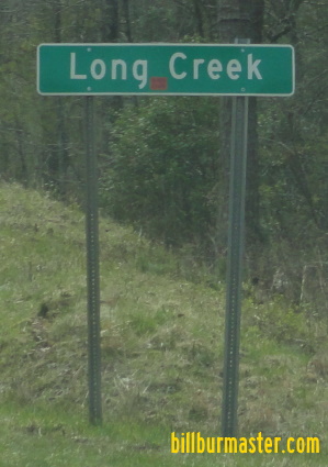
U.S. Federal Route 76 runs east-west across Central Oconee County. It runs from the Georgia/South Carolina State Line, near Long Creek, to the Oconee/Pickens County Line, near Clemson U.S. Rt. 76 passes through the following towns in Oconee County. Long Creek
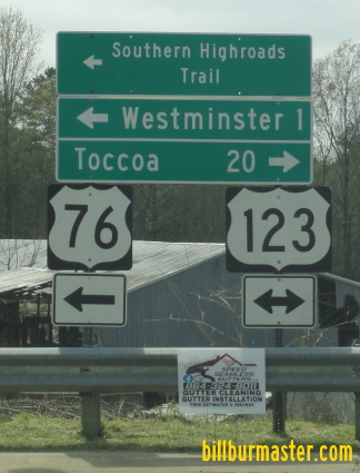
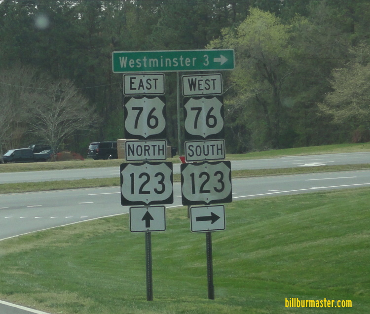
Westminster
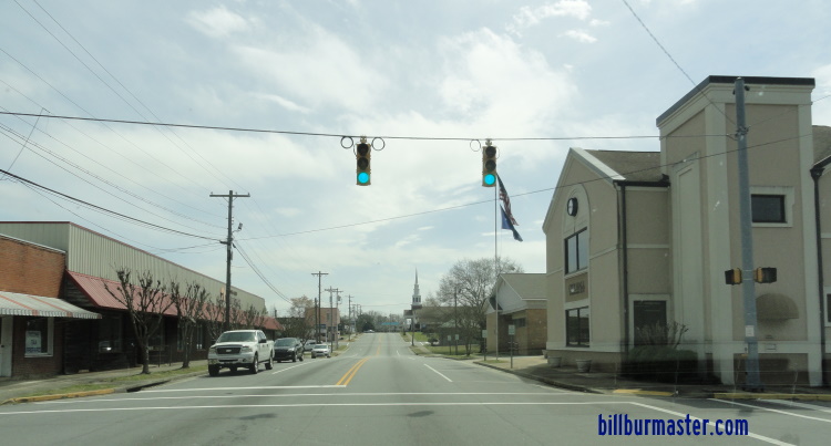
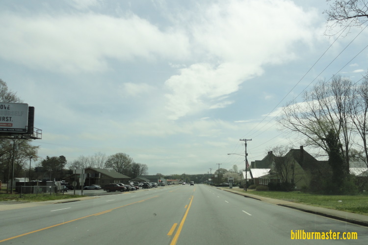
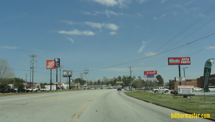
Richland Seneca
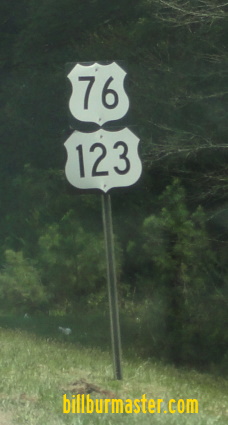
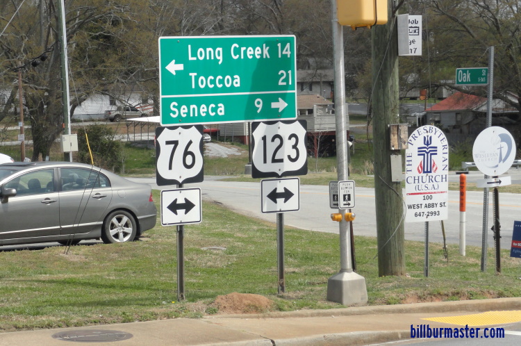
Keowee U.S. Rt. 76 is multi-plexed in Oconee County. U.S. Rt. 123, from Westminster to the Oconee/Pickens County Line.
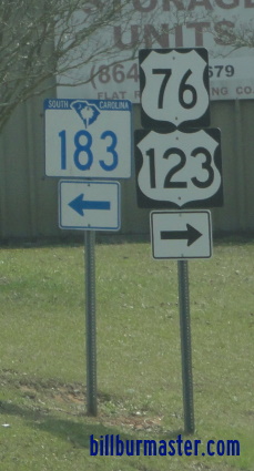
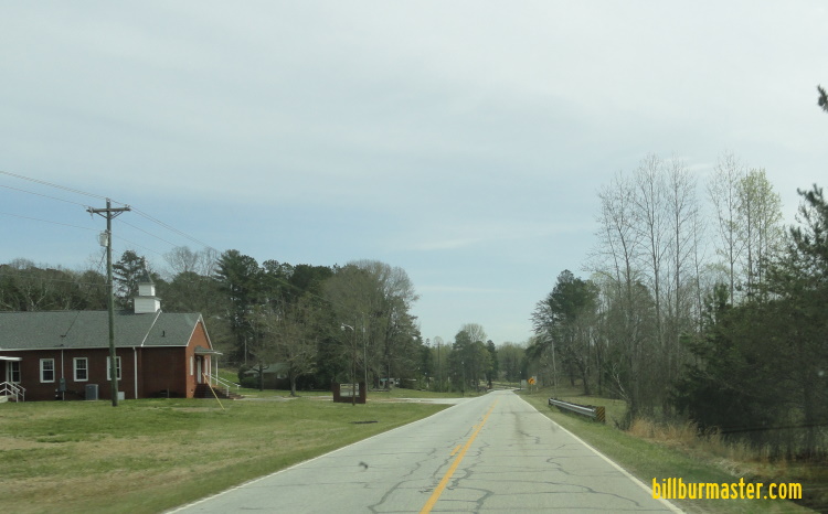
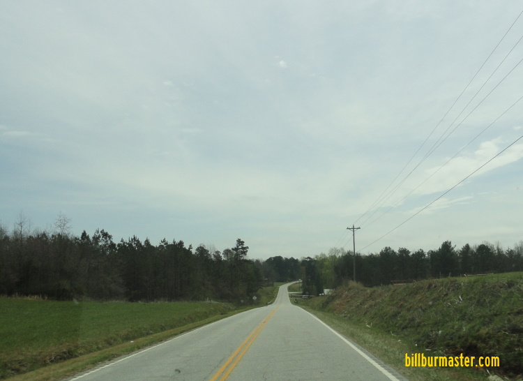
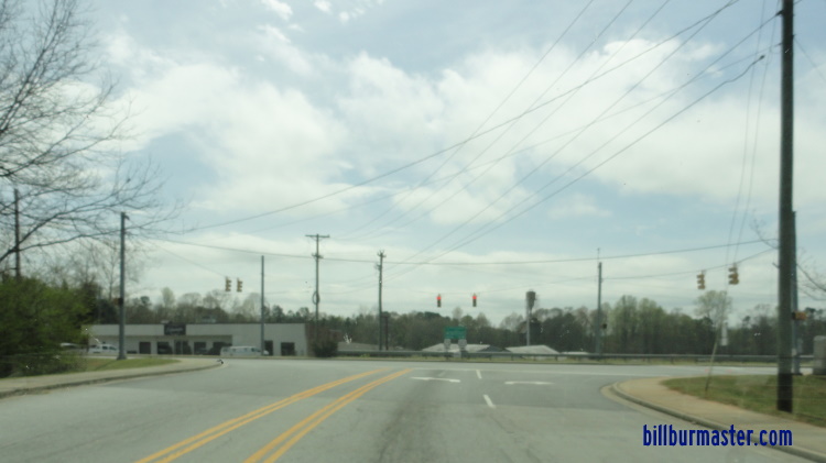
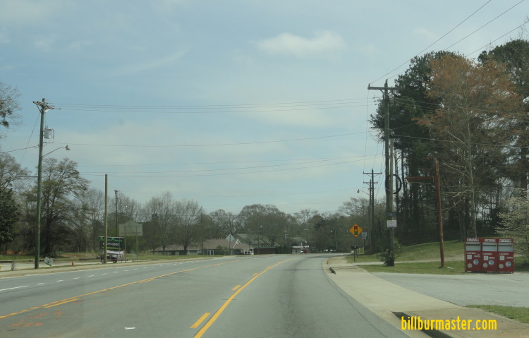
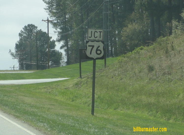
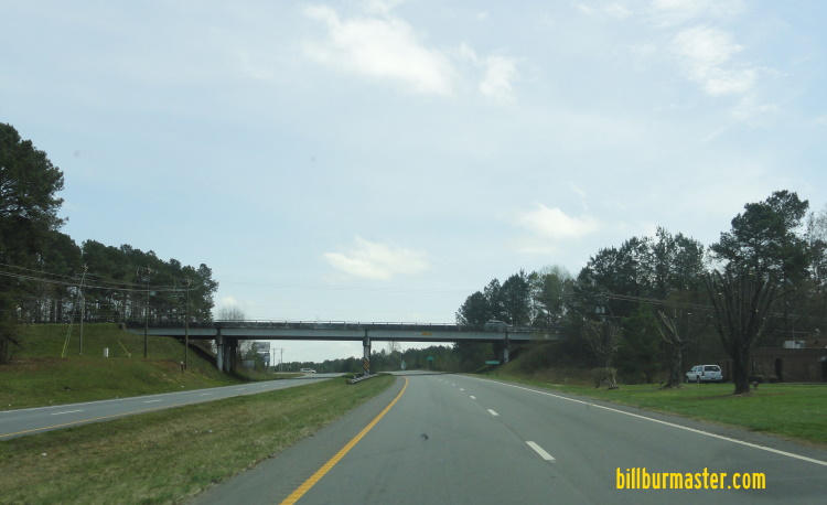
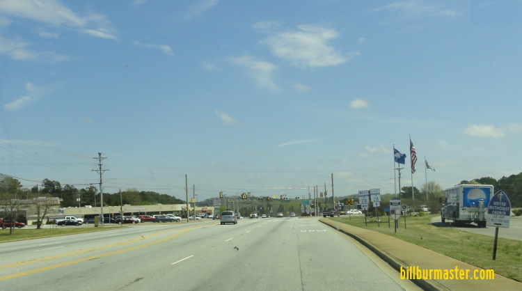
EB U.S. Rt. 76 at the Georgia/South Carolina State Line. WB U.S. Rt. 76 at the Chattooga River. EB U.S. Rt. 76 at the South Carolina Welcome Sign. EB U.S. Rt. 76 near Reedy Branch. EB U.S. Rt. 76 near Chattooga Ridge Road. EB U.S. Rt. 76 east of Chattooga Ridge Road. EB U.S. Rt. 76 west of Long Creek. EB U.S. Rt. 76 west of Long Creek. EB U.S. Rt. 76 near Long Creek. EB U.S. Rt. 76 east of Long Creek. EB U.S. Rt. 76 near P U 23. EB U.S. Rt. 76 near Unity Church Road. EB U.S. Rt. 76 near Holly Springs Church. EB U.S. Rt. 76 near Apple Tree Lane. EB U.S. Rt. 76 at the Chauga River. EB U.S. Rt. 76 west of Westminster. EB U.S. Rt. 76 west of south U.S. Rt. 123. EB U.S. Rt. 76 at south U.S. Rt. 123. EB U.S Rt. 76/NB U.S. Rt. 123 east of west U.S. Rt. 123. EB U.S. Rt. 76/NB U.S. Rt. 123 near Mimosa Road. EB U.S. Rt. 76/U.S. Rt. 123 near Broad Street. A guide marker in Westminster. A junction marker on SB SC St Rt 11. A guide marker on the ramp from SC SC St Rt 11. EB U.S Rt. 76/NB U.S. Rt. 123 at SC St Rt 11. EB U.S. Rt. 76/NB U.S. Rt. 123 near Richland. EB US. Rt. 76/NB U.S. Rt. 123 near Sheep Farm Road. EB U.S. Rt. 76/NB U.S. Rt. 123 at SC St Rt 28/59. WB U.S. Rt. 76/SC St Rt 28; SB U.S. Rt. 123 at SC St Rt 130. A guide marker on SB SC St Rt 130. EB U.S. Rt. 76/SC St Rt 28; NB U.S. Rt. 123 east of Seneca. EB U.S. Rt. 76/SC St Rt 28; NB U.S. Rt. 123 west of Wells Highway. A guide marker on NB Wells Highway. EB U.S. Rt. 76/SC St Rt 28; NB U.S. Rt. 123 east of Wells Highway. EB U.S. Rt. 76/SC St Rt 28; NB U.S. Rt. 123 at SC St Rt 93. EB U.S. Rt. 76/SC St Rt 28; NB U.S. Rt. 123 east of SC St Rt 93. EB U.S. Rt. 76/SC St Rt 28; NB U.S. Rt. 123 at the Seneca River.