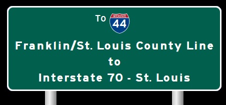
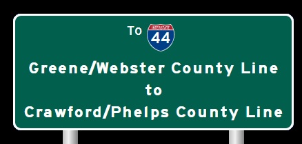
 | Interstate 44 Crawford/Phelps County Line to Franklin/St. Louis County Line |

EB I-44 at the Crawford/Phelps County Line.

EB I-44 east of MO Sec St Rt F/ZZ.

EB I-44 west of MO St Rt 19.

A guide marker on SB MO St Rt 19.

A guide marker on NB MO St Rt 19.

EB I-44 east of MO Sec St Rt H.

EB I-44 west of Bourbon.

A guide marker in Bourbon.

A guide marker in Bourbon.

EB I-44 neat St. Cloud.

EB I-44 at the Crawford/Franklin County Line.

A guide marker in Sullivan.

A BGS and guide marker in Sullivan.

EB I-44 west of south MO St Rt 185/MO Sec St Rt AF at Oak Grove Village.

EB I-44 at south MO St Rt 185/MO Sec St Rt AF at Oak Grove Village.

EB I-44 east of south MO St Rt 185/MO Sec St Rt AF at Oak Grove Village.

EB I-44 east of Sullivan.

EB I-44 at MO Sec St Rt W/JJ.

A guide marker on SB MO Sec St Rt W.

A junction marker on NB MO Sec St Rt W.

A guide marker on NB MO Sec St Rt JJ.

EB I-44 east of MO Sec St Rt W/JJ.

EB I-44 west of St. Clair.

WB I-44 at the St. Clair Service Area.

WB I-44 west of MO St Rt 30.

EB I-44 west of MO St Rt 30.

A guide marker on NB MO Sec St Rt WW.

WB I-44 at MO St Rt 30.

A BGS on NB MO St Rt 47.

A guide marker on NB MO St Rt 47.

WB I-44 at MO St Rt 47.

WB I-44 at MO Sec St Rt AH.

WB I-44 east of MO Sec St Rt AH.

WB I-44 west of west U.S. Rt. 50.

WB I-44/U.S. Rt. 50 near Villa Ridge.

A junction marker on EB MO St Rt 100.

A guide marker on EB MO St Rt 100.

A junction marker on WB MO St Rt 100.

A guide marker on EB MO St Rt 100.

A BGS on WB MO St Rt 100.

WB I-44/U.S. Rt. 50 near M.P. 257.

EB I-44/U.S. Rt. 50 near Gray Summit.

WB I-44/U.S. Rt. 50 at the Franklin/St. Louis County Line.
| CONTINUE TO: |
| EASTBOUND: | WESTBOUND: |
 |  |