Illinois State Route 116 is a main north-south route along the eastern banks of the Illinois River in Northern Tazewell County. This provides access to many attractions and busniess in the East Peoria Area. IL St Rt 116 passes through the following towns in Tazewell County. Trailpark Gardens East Peoria
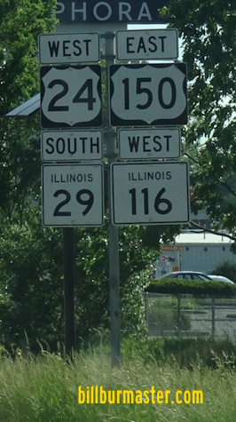
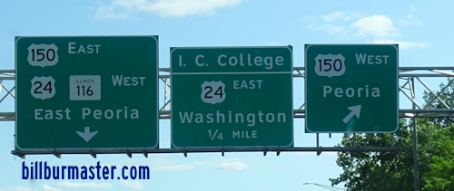
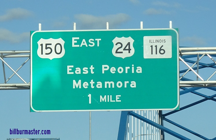
IL St Rt 116 is multi-plexed in Tazewell County. U.S. Rt. 24, at East Peoria. U.S. Rt. 150, in East Peoria.
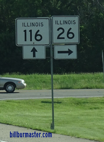
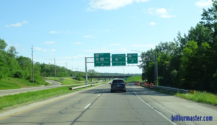
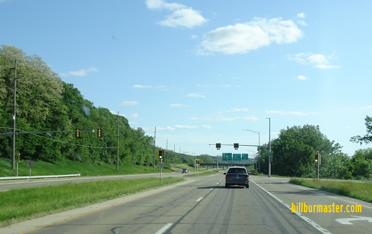
The Cedar Street Bridge across the Illinois River. This carries IL St Rt 8/116. Phot taken from the Bob Michel Bridge. WB IL St Rt 8/116 near the Cedar Street Bridge. WB IL St Rt 8/116 in East Peoria. A BGS on IL 8/116. A BGS on EB IL St Rt 8/116. Junction sign on NB IL St Rt 29. A BGS on WB U.S. Rt. 150/IL St Rt 8. A BGS on EB I-74. Another BGS on EB I-74. A set of BGS's on EB I-74. A BGS on WB I-74. Another BGS on WB I-74. A BGS on EB I-74/SB IL St Rt 29. A BGS on WB I-74. A BGS on EB I-74/SB IL St Rt 29. A BGS on EB I-74/SB IL St Rt 29. A BGS on EB I-74/SB IL St Rt 29. A BGS on EB I-74/SB IL St Rt 29. A BGS on WB I-74. A guide marker on the ramp from WB I-74. A junction marker on SB IL St Rt 29. Looking north along EB U.S. Rt. 24/IL St Rt 116; WB U.S. Rt. 150 in East Peoria. WB U.S. Rt. 24/IL St Rt 116; EB U.S. Rt. 150 in East Peoria. EB U.S. Rt. 24/IL St Rt 116; WB U.S. Rt. 150 near U.S. Rt. 24. A BGS on WB U.S. Rt. 24. A BGS on on EB U.S. Rt. 150 on the Mc Clugage Bridge. A BGS on EB U.S. Rt. 150. A BGS on WB U.S. Rt. 24. A BGS on WB U.S. Rt. 24. A BGS on EB U.S. Rt. 150. A BGS on WB U.S. Rt. 24. A BGS on WB U.S. Rt. 24. A BGS on WB U.S. Rt. 24. WB IL St Rt 116 at U.S. Rt. 24/150. WB IL St Rt 116 at Access Road 8. WB IL St Rt 116 at Access Road 8. EB IL St Rt 116 north of U.S. Rt. 24/150. WB IL St Rt 116 near the Tazewell/Woodford County Line. A Tazewell County mile marker. WB IL St Rt 116 at the Tazewell/Woodford County Line.