U.S. Federal Route 24 runs east-west across the northern portion of Tazewell County. Near Washington, this highway is on a four-lane divided freeway. It has at-grade intersections and controlled access interchanges. U.S. Rt. 24 passes through the following towns in Tazewell County. Washington
East Peoria
Creve Couer
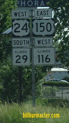
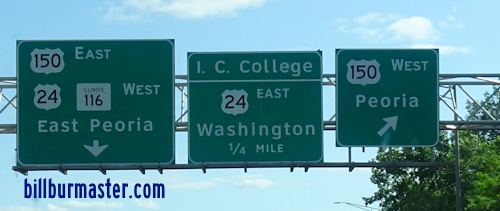
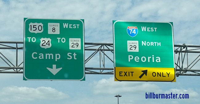
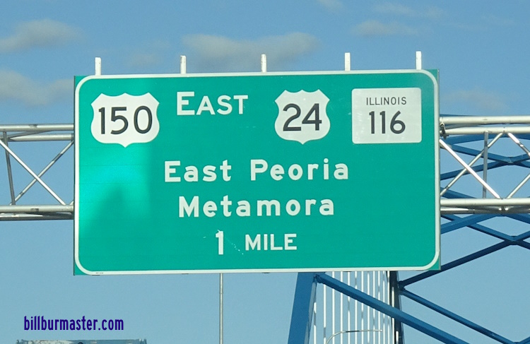
In May, 2012 U.S. Rt. 24 was re-routed in the Greater-Peoria Area. Prior to May, 2012 U.S. Rt. 24 followed U.S. Rt. 150 across the Illinois River. On the western bank of the Illinois River, U.S. Rt. 24 followed IL St Rt 29 through Downtown Peoria. The new routes sends U.S. Rt. 24 south along U.S. Rt. 150/IL St Rt 116 to Illinois State Route 29. South of Creve Couer it crosses the Illinois River on Interstate 474 to it's former alignment at Bartonville. Below are a few pictures from the former path. BGS on WB U.S. Rt. 150/NB IL St Rt 116 in East Peoria. A BGS on WB U.S. Rt. 150/EB IL St Rt 116. This replaced the sign in the photo above.
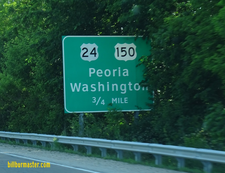
Branches of U.S. Rt. 24 in Tazewell County. WB I-474/U.S. Rt. 24 in Creve Coeur. A BGS on EB I-474/U.S. Rt. 24. A BGS on WB I-474/U.S. Rt. 24. A BGS on WB I-474/U.S. Rt. 24. WB U.S. Rt. 24/SB IL St Rt 29 north of I-474. WB U.S. Rt. 24/SB IL St Rt 29 south of IL St Rt 8/116. A BGS on EB IL St Rt 8/116. A junction marker on WB U.S. Rt. 150/IL St Rt 8. A BGS on WB U.S. Rt. 150/IL St Rt 8. A BGS on WB U.S. Rt. 150/IL St Rt 8. A junction marker on SB IL St Rt 29. A BGS on WB I-74. A BGS on EB I-74/SB IL St Rt 29. A BGS on EB I-74/SB IL St Rt 29. A BGS on EB I-74/SB IL St Rt 29. A BGS on EB I-74/SB IL St Rt 29. A BGS on WB I-74. A guide marker on the ramp from WB I-74. A guide marker on SB IL St Rt 29. WB U.S. Rt. 24/IL St Rt 116; EB U.S. Rt. 150 in East Peoria. A BGS on WB IL St Rt 116. A BGS on EB U.S. Rt. 150. A BGS on WB U.S. Rt. 24. A BGS on WB U.S. Rt. 24. A BGS on WB U.S. Rt. 24. WB U.S. Rt. 24 northwest of Washington. EB U.S. Rt. 24 east of East Peoria. EB U.S. Rt. 24 west of Washington. A guide marker on EB IL 8. BGS on WB BUSN. U.S. Rt. 24 near U.S. Rt. 24, near Washington. WB U.S. Rt. 24 east of IL St Rt 8. EB U.S. Rt. 24 on the northside of Washington. WB U.S. Rt. 24 in Washington. EB U.S. Rt. 24 near the end of the expressway at Washington. EB U.S. Rt. 24 at Main Street in Washington. The expressway from Peoria ends just east of this intersection. EB U.S. Rt. 24 east of Washington. WB U.S. Rt. 24 east of Washington. Tazewell County mile marker at the Woodford/Tazewell County Line. WB U.S. Rt. 24 at the Tazewell/Woodford County Line.