Illinois State Route 29 is one of the main routes throughout the Springfield-Metro. It runs north out of Springfield to the Peoria-Metro. Also, IL St Rt 29 heads southeast to Taylorville. IL St Rt 29 passes through the following towns in Sangamon County. Cantrall
Springfield
Rochester
Berry Breckenridge
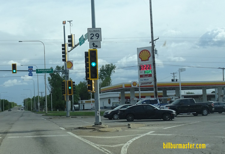
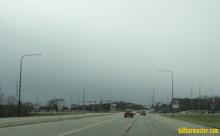
Prior to 2009, IL St Rt 29 and IL St Rt 97 were multi-plexed along Clear Lake Ave., from Dirksen Parkway to Downtown Parkway. Currently, IL St Rt 29 runs north along Dirksen Parkway, from South Grand Ave to Sangamon Ave. Below are pictures from IL St Rt 29 and IL St Rt 97. Former shields. Guide markers at Clear Lake Ave and Dirkesen Parkway. A guide marker west of Downtown Springfield. SB IL St Rt 29/97 east of Downtown Springfield. SB IL St Rt 29/97 near 10th Street. A set of guide markers on NB BUSN Loop I-55. SB IL St Rt 29/97 in Downtown Springfield. SB IL St Rt 29/97 at 2nd Street in Downtown Springfield. SB IL St Rt 29 on the northside of Springfield.
IL St Rt 29 is multi-plexed in Sangamon County. BUSN Loop I-55, at Springfield.
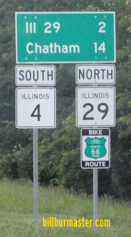
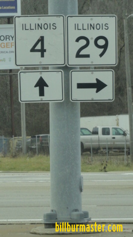
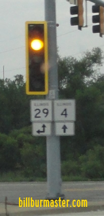
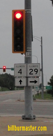
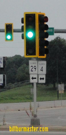
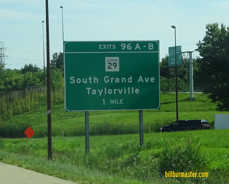
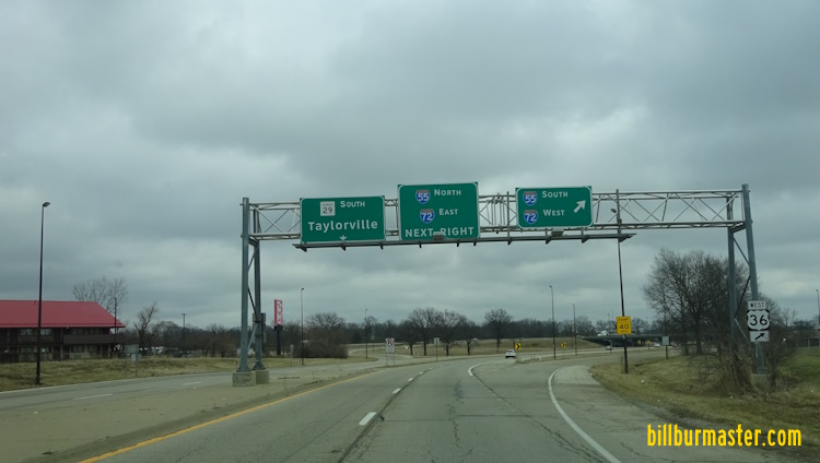
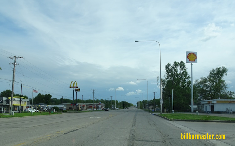
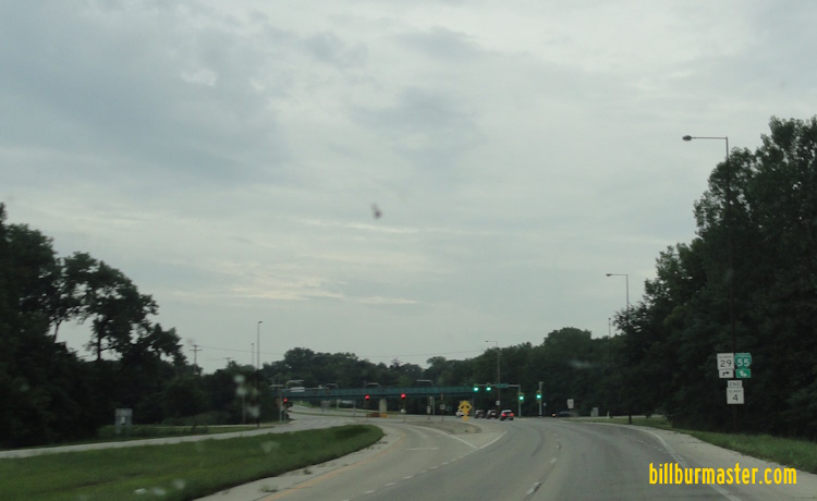
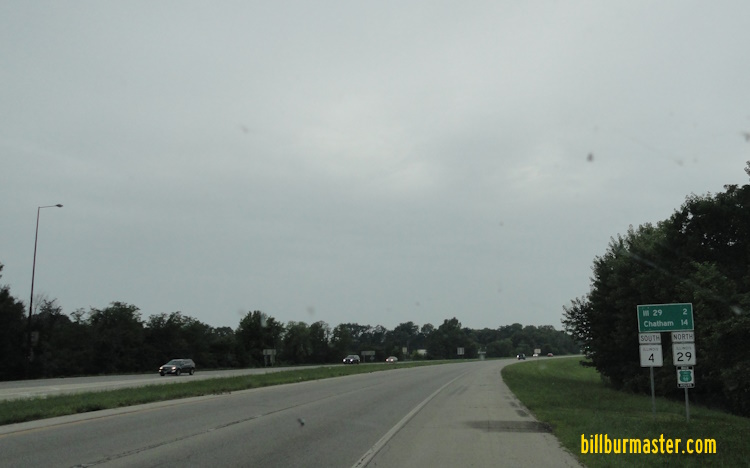
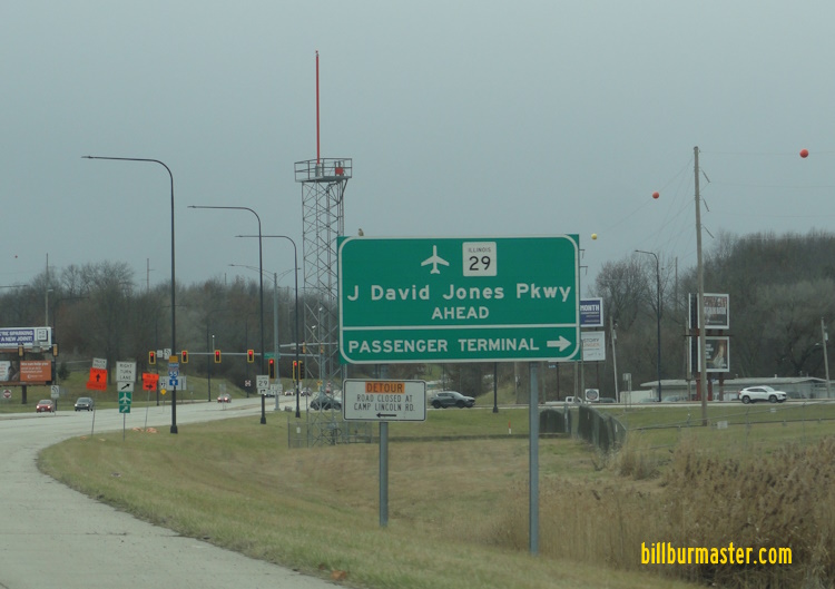
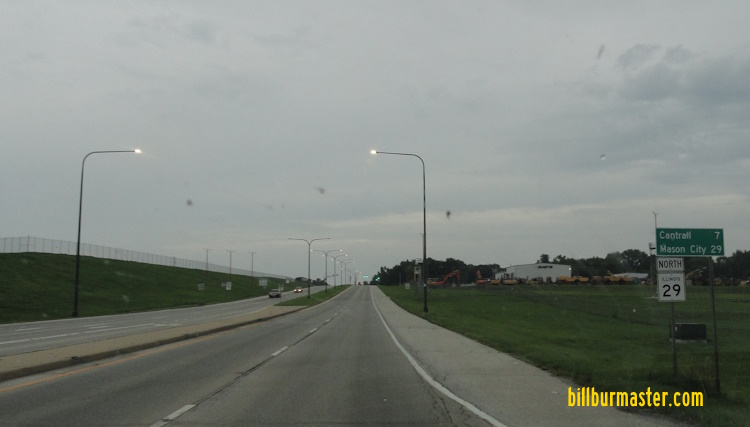
SB IL St Rt 29 near the Christian/Sangamon County Line. SB IL St Rt 29 at the end of the first signs that the four-lane road ends. (July, 2006) SB IL St Rt 29 merging back to NB lanes. (July, 2006) SB IL St Rt 29 at the end of the divided highway. (July, 2006) SB IL St Rt 29 entering the NB lanes. (July, 2006) SB IL St Rt 29 in Rochester. A BGS on SB I-55; WB I-72/U.S. Rt. 36. A BGS on NB I-55; EB I-72/U.S. Rt. 36. A BGS on NB I-55; EB I-72/U.S. Rt. 36. A BGS on SB I-55; WB I-72/U.S. Rt. 36. A BGS on SB I-55; WB I-72/U.S. Rt. 36. SB IL St Rt 29 at I-55/72; U.S. Rt. 36. A set of guide markers on NB Dirksen Parkway. NB IL St Rt 29 north of South Grand Ave. NB IL St Rt 29 near Cook in Springfield. SB IL St Rt 29 at Cook in Springfield. A set of guide markers on NB IL St Rt 29. A set of guide markers on NB IL St Rt 29. A BGS on WB Clear Lake Ave. A set of guide markers on WB Clear Lake Ave. A mileage sign on SB Dirksen Parkway in Springfield. A mileage sign on SB Dirksen Parkway. This is the same as above. (May, 2012) A guide marker on SB IL St Rt 29. SB IL St Rt 29 south of Sangamon Ave. A guide marker on SB Dirksen Parkway. SB IL St Rt 29 on Sangamon Ave in Springfield. NB BUSN Loop I-55/IL St Rt 29 at the state fairgrounds. NB BUSN Loop I-55/IL St Rt 29 north of the state fairgrounds. NB IL St Rt 4/SB IL St Rt 29 at BUSN Loop I-55. A set of guide markers on NB IL St Rt 4/SB IL St Rt 29. SB IL St Rt 4/NB IL St Rt 29 south of BUSN Loop I-55. A guide marker at the Illinois State Fairgrounds. A BGS on SB IL St Rt 4/NB IL St Rt 29. A BGS on SB IL St Rt 4/NB IL St Rt 29. SB IL St Rt 4/NB IL St Rt 29 near the J David Jones Parkway. NB IL St Rt 29 north of IL St Rt 4. SB IL St Rt 29 near Capital Airport. SB IL St Rt 29 near the Sangamon River. SB IL St Rt 29 south of Cantrall. SB IL St Rt 29 in Cantrall. SB IL St Rt 29 south of IL St Rt 123. NB IL St Rt 29/WB IL St Rt 123 north of east IL St Rt 123. SB IL St Rt 29/EB IL St Rt 123 near the Menard/Sangamon County Line.