Interstate 70, Indiana
Roads of the Mid-South & West > Highways of the State of Indiana > Interstate 70, Indiana
 | Interstate 70 |
Interstate 70 is a east-west highway across Central Indiana. Much of this runs along the same corridor of the Old National Road.
Indiana is one of four states that have started to study a propsed set of lanes desegnated for trucks. Ohio, Illinois, and Missouri are the other states. This is designated as the "Corridor of the Future". (14 April 2009 "Indiana plans truck-only I-70 highway study" WSBT-TV South Bend, IN)
While in Indiana, I-70 is multi-plexed.
I-70 is multi-plexed with...
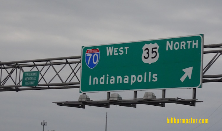
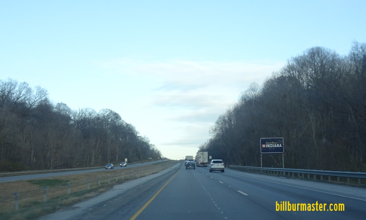
...U.S. Rt. 35, from the Indiana/Ohio State Line to M.P. 149 near Richmond.


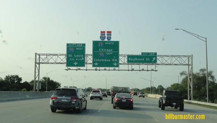
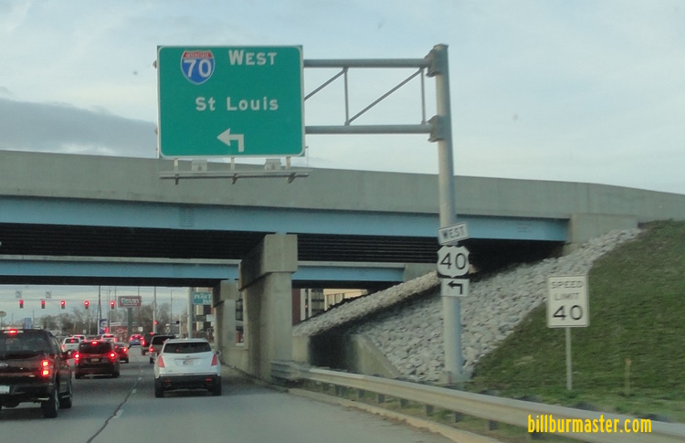
...Interstate 65, in Indianapolis.

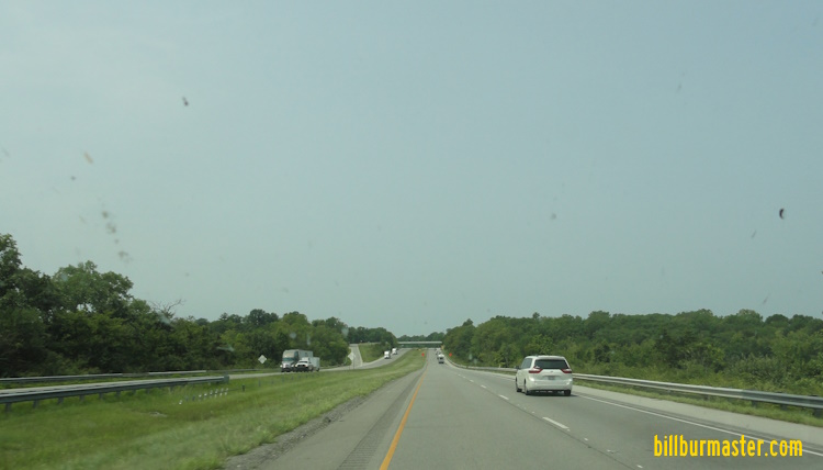
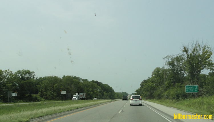
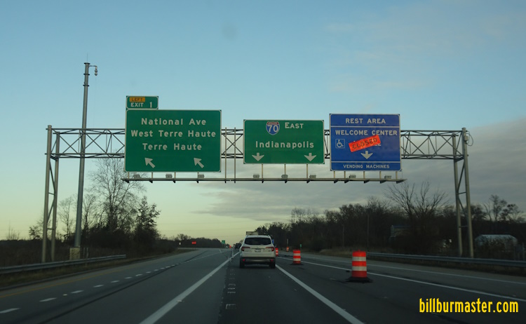
...U.S. Rt. 40, from Terre Haute to the Illinois/Indiana State Line.

Through Downtown Indianapolis, Interstate 65/70 was closed for a major re-construction project in 2003. This had both Interstate 65 and Interstate 70 re-routed around the City of Indianapolis, via Interstate 465.
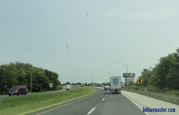
Various warning signs on Westbound Interstate 70.


In Indiana, Interstate 70 crosses the following interstates.
Interstate 69, at Indianapolis.
Interstate 465, at Indianapolis.

BGS 2 miles from I-465.

One and a quarter mile BGS on WB I-70.

WB I-70 near I-465.

WB I-70 near I-465.

WB I-70 at the ramp to I-465.

The ramp form WB I-70 to I-465.

WB I-70 two miles from I-465. (July, 2019)

WB I-70 over one mile from I-465. (July, 2019)

WB I-70 near I-465. (July, 2019)

WB I-70 at I-465. (July, 2019)
Interstate 65, at Indianapolis.

NB I-65/EB I-70 three quarters of a mile from their split.

NB I-65/EB I-70 near thier split.

NB I-65/EB I-70 at their split.

WB I-70 at I-65.
Interstate 65, at Indianapolis.

SB I-65/WB I-70 one mile from their split.

SB I-65/WB I-70 near their split.

WB I-70 one mile from SB I-65. (June, 2020)

WB I-70 under one mile from SB I-65. (June, 2020)

WB I-70 a half mile from SB I-65. (June, 2020)

WB I-70 at SB I-65. (June, 2020)
Interstate 74, at Indianapolis.
Interstate 465, at Indianapolis.

WB I-70 over a mile from I-74/465.

A mileage sign on WB I-70.

WB I-70 near I-74/465.

WB I-70 at WB I-74/NB I-465.

WB I-70 at EB I-74/SB I-465.

WB I-70 two miles from I-74/465. (June, 2020)

WB I-70 one mile from I-74/465. (June, 2020)

WB I-70 under one mile from I-74/465. (June, 2020)

WB I-70 near I-74/465. (June, 2020)

WB I-70 at I-74/465. (June, 2020)

A BGS on EB I-70 over one mile from I-74/465. (July, 2024)

A BGS on EB I-70 a half mile from I-74/465. (July, 2024)
There are no branches of I-70 in Indiana.

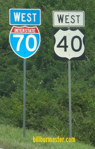
WB I-70/NB U.S. Rt. 35 at the Indiana/Ohio State Line. (October, 2017)
WB I-70/U.S. Rt. 35 at the Indiana/Ohio State Line. (April, 2025)

WB I-70/NB U.S. Rt. 35 at the Indiana Welcome Sign.

WB I-70/NB U.S. Rt. 35 at the Indiana Welcome sign. (October, 2017)

WB I-70/U.S. Rt. 35 at the Indiana Welcome sign. (April, 2025)
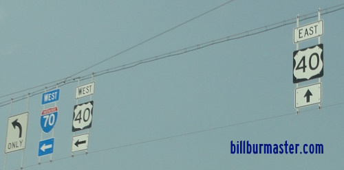
A BGS on WB U.S. Rt. 40.

WB I-70/NB U.S. Rt. 35 west of IN St Rt 227.

WB I-70/NB U.S. Rt. 35 at U.S. Rt. 27.

A guide marker on WB U.S. Rt. 40.

BGS on NB U.S. Rt. 27 in Richmond.

EB I-70/SB U.S. Rt. 35 near Richmond.

WB I-70/NB U.S. Rt. 35 at U.S. Rt. 35.

A set of guide markers on U.S. Rt. 40.
Photo from: Paul Dienhart

BGS for EB I-70 near Centerville.

WB I-70 near IN St Rt 1.

BGS on SB IN St Rt 1 near Cambridge City.

WB I-70 at IN St Rt 1.

WB I-70 west of IN St Rt 1.

WB I-70 at the Wayne/Henry County Line.

WB I-70 near New Lisbon.

WB I-70 west of IN St Rt 3.

WB I-70 east of IN St Rt 109.

WB I-70 west of IN St Rt 109.

WB I-70 east of IN St Rt 9.

WB I-70 at IN St Rt 9.

WB I-70 west of IN St Rt 9.

Mileage sign on WB I-70.

A milage/travel time sign on WB I-70.

A milage/travel time sign on WB I-70.

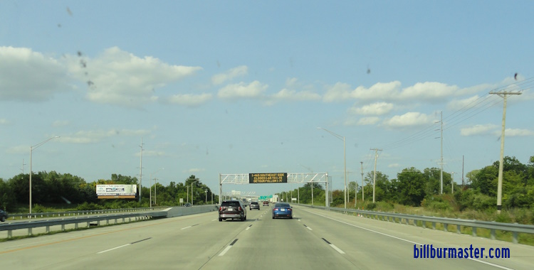
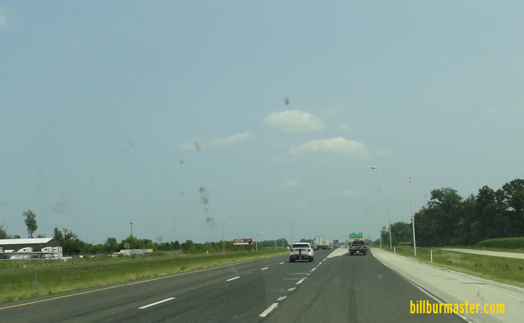
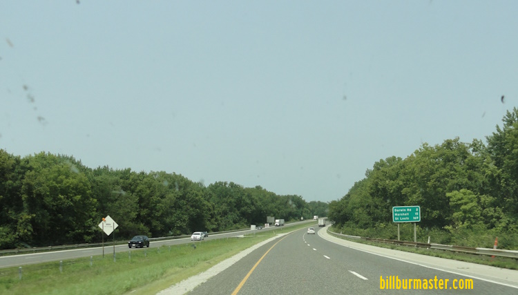
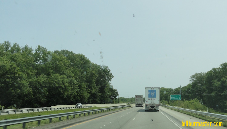
WB I-70 on the eastside of Indianapolis.

A travel advisory sign on SB I-65/EB U.S. Rt. 52.

A BGS on EB I-865/U.S. Rt. 52.

A travel advisory sign on EB I-465/U.S. Rt. 52; SB U.S. Rt. 31/421.

A BGS on SB I-465; U.S. Rt. 31/421; IN St Rt 37/67, EB U.S. Rt. 52.

A travel advisory sign on EB I-74/465.

A travel advisory sign on EB I-74/465.

A overhead BGS on EB I-70.

A travel adivsory sign on SB I-65.

A BGS on SB I-65.

A BGS on SB I-65.

NB I-65/WB I-70 in Downtown Indianapolis.

A guide marker in Downtown Indianapolis.

Another guide marker in Downtown Indianapolis.

A guide marker in Indianapolis.

A guide marker on South Street in Indianapolis.

A BGS on WB Washington St.

A guide marker on Washington St in Indianapolis.

SB I-65/WB I-70 south of Washington St in Indianapolis.

SB I-65/WB I-70 at East St. in Indianapolis.
A BGS on NB I-65.

A guide marker in Indianapolis.

A guide marker in Indianapolis.

WB I-70 west of Downtown Indianapolis.

WB I-70 west of Holt Road in Indianapolis.

WB I-70 at the Sam Jones Expressway in Indianapolis.

A BGS on the Sam Jones Expressway in Indianapolis.

A guide marker near the Indianapolis International Airport.

A guide sign on NB Lynhurst Drive in Indianapolis.

A guide marker on NB Lynhurst Drive in Indianapolis.

A BGS on EB I-74/SB I-465.
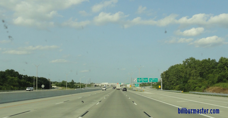
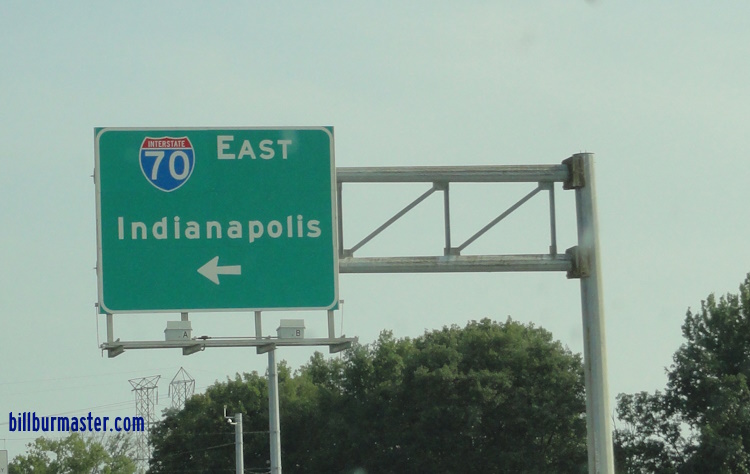
EB I-70 at Ameriplex.
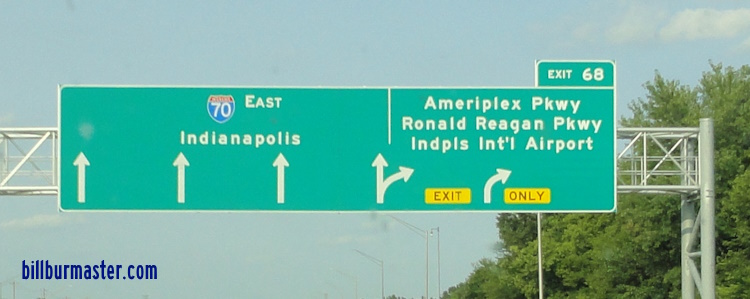
A BGS on EB I-70.
EB I-70 east of Quaker Blvd.
A BGS on SB Quaker Blvd.
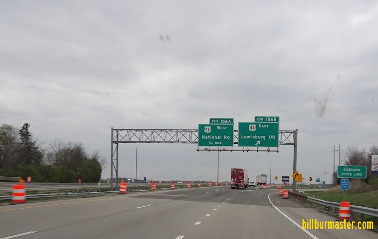
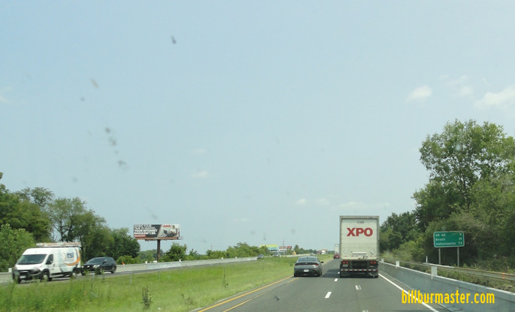
A guide marker on EB U.S. Rt. 40.
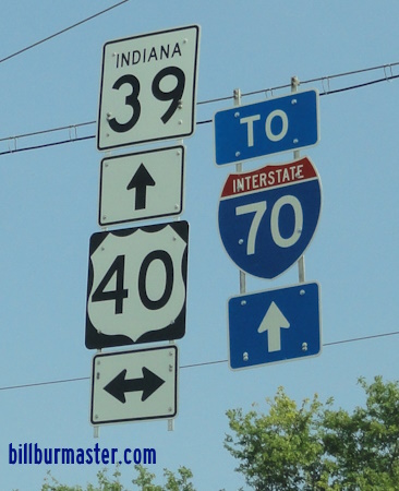
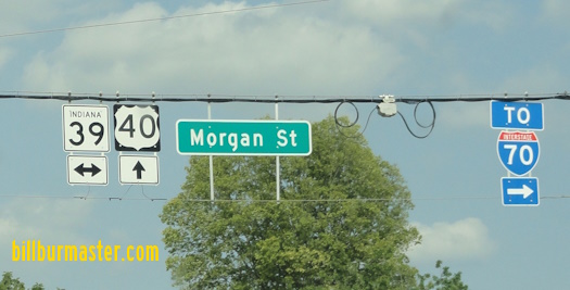
A guide marker on SB IN St Rt 39.

A guide marker on EB U.S. Rt. 40.
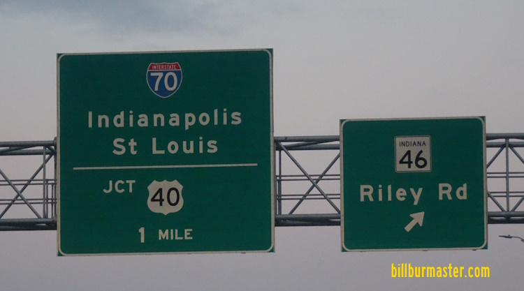
A guide marker on EB U.S. Rt. 40/WB IN St Rt 46.
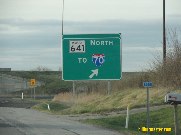
A BGS on NB IN St Rt 641.
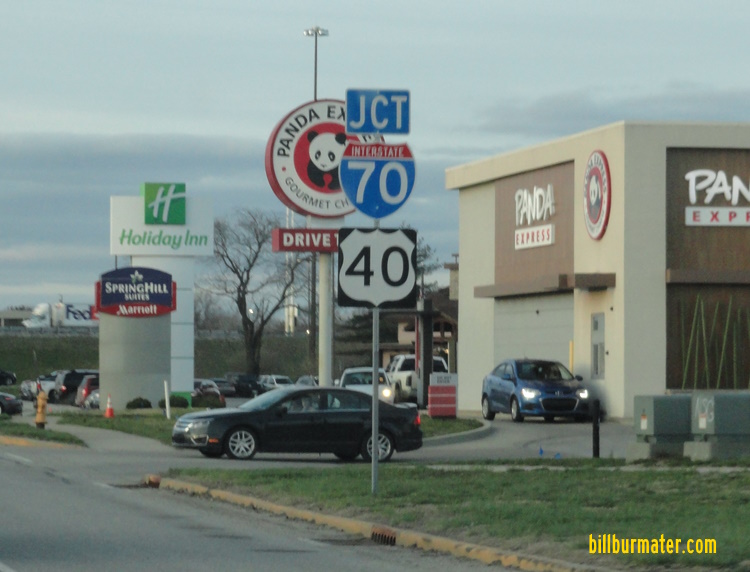
EB I-70/U.S. Rt. 40 at the IN St Rt 46/641.
EB I-70/U.S. Rt. 40 east of U.S. Rt. 41/150.

A BGS on NB U.S. Rt. 41/WB U.S. Rt. 150.
A BGS on NB U.S. Rt. 41/WB U.S. Rt. 150.
A junction marker on NB U.S. Rt. 41/WB U.S. Rt. 150.

A guide marker on NB U.S. Rt. 41/WB U.S. Rt. 150.

A BGS on NB U.S. Rt. 41/WB U.S. Rt. 150.
A BGS on NB U.S. Rt. 41/WB U.S. Rt. 150.

A guide marker on NB U.S. Rt. 41/WB U.S. Rt. 150.

A guide marker on NB U.S. Rt. 41/WB U.S. Rt. 150.
EB I-70/U.S. Rt. 40 west of U.S. Rt. 41/150.
WB I-70/U.S. Rt. 40 west of U.S. Rt. 41/150.
EB I-70/U.S. Rt. 40 east of Darwin Road.
WB I-70/U.S. Rt. 40 east of Darwin Road.
WB I-70/U.S. Rt. 40 west of Darwin Road.
EB I-70/U.S. Rt. 40 at the Indiana Welcome Sign.
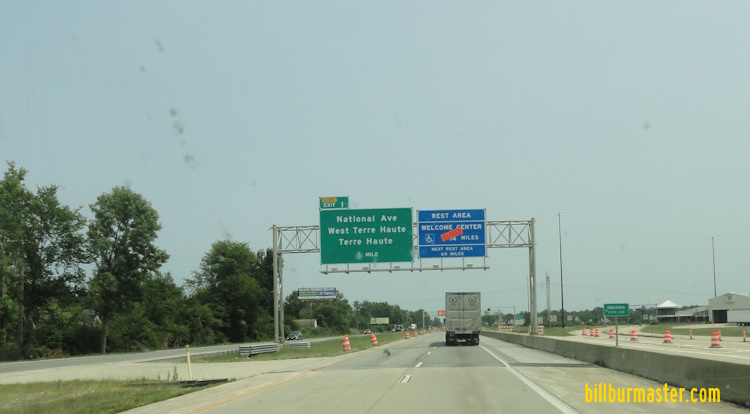
EB I-70/U.S. Rt. 40 at National Ave.
EB I-70/U.S. Rt. 40 at the Illinois/Indiana State Line.
3 January 2026