Interstate 74, IndianaRoads of the Mid-South & West > Highways of the State of Indiana > Interstate 74, Indiana
 | Interstate 74 |  |
Interstate 74 runs east-west across Central Indiana. The only major city that I-74 passes through while in Indiana is Indanapolis.
While in Indiana, I-74 is multi-plexed.
I-74 is multi-plexed with...
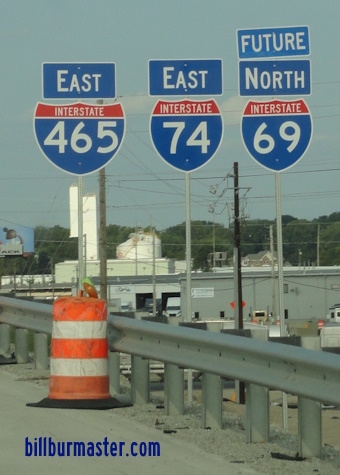
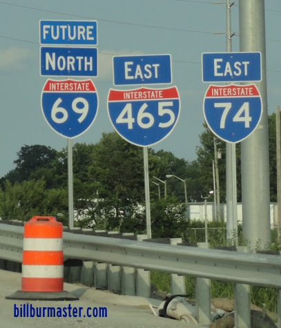
...Interstate 69, around Southern Indianapolis.
...Interstate 465, from Speedway to southeast Indianapolis.


...U.S. Rt. 31, from Speedway to southeast Indianapolis.
...U.S. Rt. 36, from Rockville Road around the southside of the loop to southeast Indianapolis.
...U.S. Rt. 40, from Washington Street around the southside of the loop to southeast Indianapolis.
...Indiana State Route 67, from Kentucky Ave. to southeast Indianapolis.
...Indiana State Route 37, at South Indianapolis.

...U.S. Rt. 421, from Indianapolis to near Greensburg.


...TRUCK Indiana State Route 9, at Shelbyville.

...U.S. Rt. 52, from near Bright to the Ohio/Indiana State Line.


I-74 crosses the following interstates in Indiana.
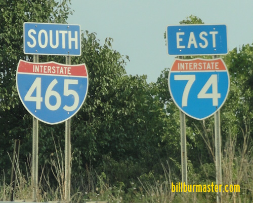
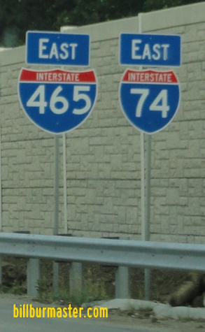
Interstate 465, at Speedway.

WB I-74/NB I-465 near WB I-74.

WB I-74/NB I-465 at the I-74/U.S. Rt. 136 interchange.

NB I-465 at WB I-74.

WB I-74/NB I-465 two miles from NB I-465. (July, 2019)

WB I-74/NB I-465 one mile from NB I-465. (July, 2019)

WB I-74/NB I-465 a half mile from NB I-465. (July, 2019)

WB I-74/NB I-465 near NB I-465. (July, 2019)

WB I-74.NB I-465 at NB I-465. (July, 2019)

EB I-74 near I-465.

EB I-74 at I-465.

EB I-74 two miles from I-465. (October, 2017)

EB I-74 one mile from I-465. (October, 2017)

EB I-74 a half mile from I-465. (October, 2017)

EB I-74 near I-465. (October, 2017)

EB I-74 before I-465. (October, 2017)

EB I-74 at I-465. (October, 2017)
Interstate 70, near Valley Mills.

EB I-74/SB I-465 over two miles north of I-70.

EB I-74/SB I-465 one mile from I-70.

EB I-74/SB I-465 near I-70.

EB I-74/SB I-465 at I-70.

EB I-74/SB I-465 over two miles from I-70. (October, 2017)

EB I-74/SB I-465 one mile from I-70. (October, 2017)

EB I-74/SB I-465 near I-70. (October, 2017)

EB I-74/SB I-465 at I-70. (October, 2017)
Interstate 69, at Indianapolis.
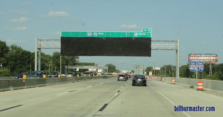
A BGS on EB I-74/465 near south I-69. (July, 2024)
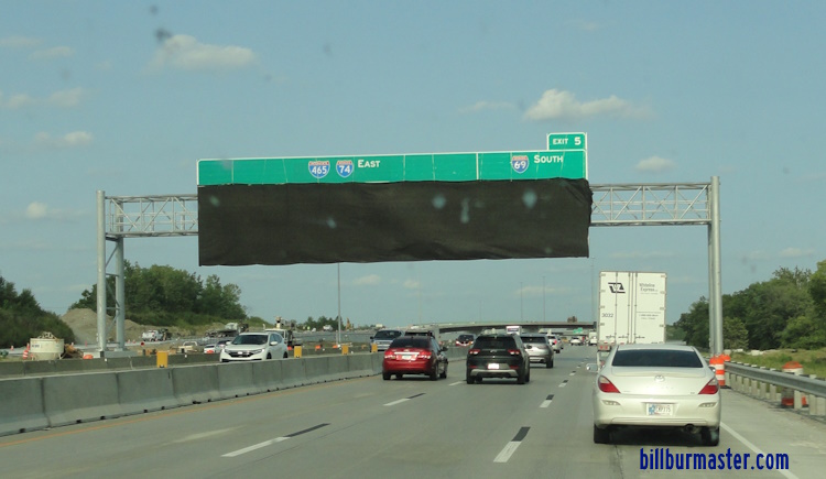
A BGS on EB I-74/465 near south I-69. (July, 2024)
Interstate 65, at Indianapolis.

EB I-74/SB I-465 two mile from I-65.

EB I-74/SB I-465 one mile from I-65.

EB I-74/SB I-465 near SB I-65.

EB I-74/SB I-465 at I-65.

EB I-74/465 two miles from I-65. (October, 2017)

EB I-74/465 one mile from I-65. (October, 2017)

EB I-74/465 near I-65. (October, 2017)
Interstate 69, at Indianapolis.
Interstate 465, at Indianapolis.

WB I-74 one mile from I-465.

WB I-74 a half mile from I-465.

Lane markers on WB I-74.

WB I-74 near I-465.

WB I-74 at I-465.

WB I-74/NB U.S. Rt. 421 one mile from I-465. (July, 2019)

WB I-74/NB U.S. Rt. 421 a half mile from I-465. (July, 2019)

WB I-74/NB U.S. Rt. 421 near I-465. (July, 2019)

WB I-74/NB U.S. Rt. 421 before I-465. (July, 2019)

WB I-74/NB U.S. Rt. 421 at I-465. (July, 2019)

EB I-74/465 two miles from north I-465. (October, 2017)

EB I-74/465 one mile from north I-465. (October, 2017)

EB I-74/465 at north I-465. (October, 2017)
There are no branches of I-74 in Indiana.
Photos of Interstate 74 as it travels through Indiana.
Select A Section of I-74.

21 August 2024