

City of St. Louis
City U.S. 66 was also known as Business U.S. 66, and then eventually the actual main line of U.S. 66.
Entering the State of Missouri from the State of Illinois, City U.S. 66 crossed over the Mississippi River using the Chain of Rocks Bridge on the northside of the city. Once on the westside of the river, this past of U.S. 66 went south along Riverview Drive until it reaches Broadway. Once it gets to Calvery Avenue, it moves over to Florissant Avenue. As City U.S. 66 moves closer through north city, it turns on Warne Avenue; then onto Carter Ave. Once at North Florissant Avenue, City U.S. 66 turns right and heads south on North Florissant Avenue.
Along the way City U.S. 66 passes the Calvary and Bellefontaine Cemeteries. Both cemeteries are the final resting place for many from the early days of the city, and area. Some notables are located here, including General William Tecumsah Sherman, Tennessee Williams, and Dred Scott.
Along this path, is Crown Candy Kitchen. This has been around since 1913, and is known for it's milkshakes.

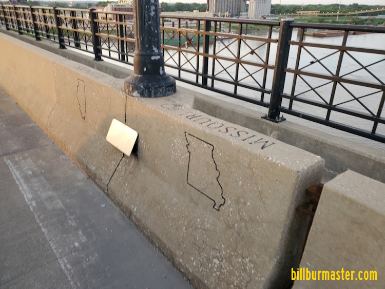
The Missouri side of the bridge.
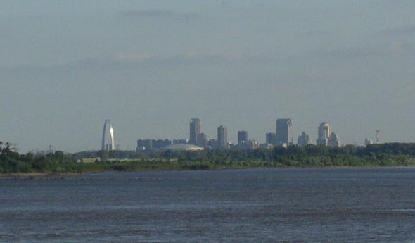
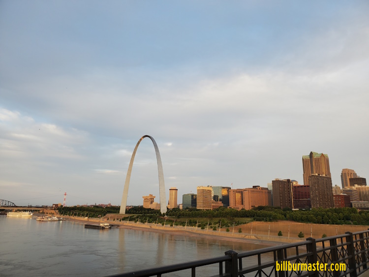
Looking at Downtown St. Louis from the bridge.
A look at the turn in the middle of the river.

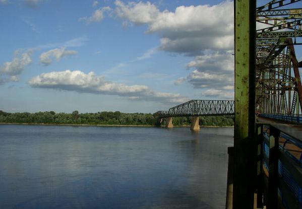
Looking east along the Chain of Rocks Bridge.
SB U.S. 66 south of I-270.
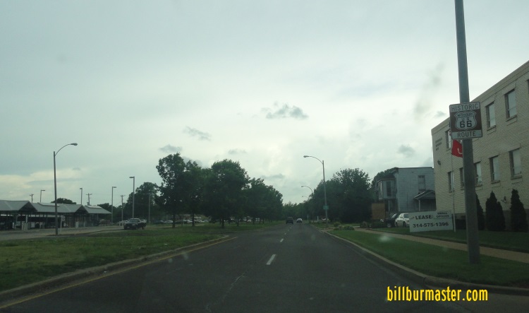
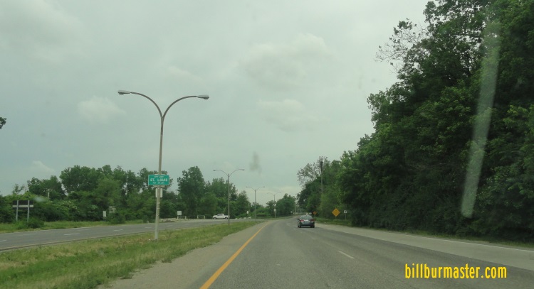
SB U.S. 66 in North St. Louis.
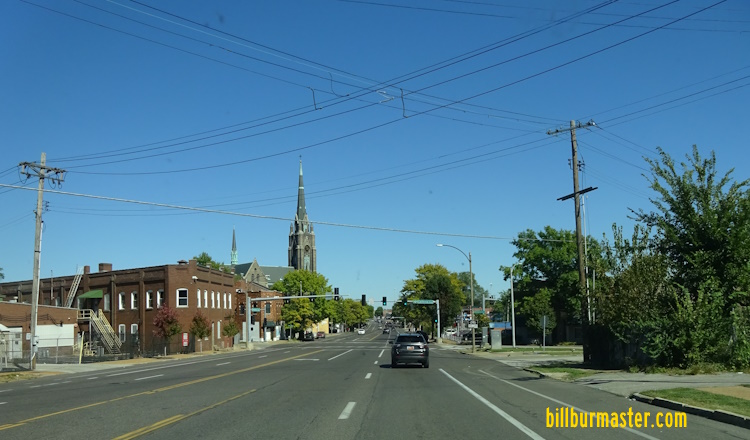
As City U.S. 66 makes it's way south along North Florissant Avenue, it follows as the street becomes Mullanphy Street, 13th Street, and eventually Tucker Blvd. Turcker will take City U.S. 66 through Downtown St. Louis.
In Downtown St. Louis, City U.S. 66 passes by the Civil Couts Building, and St. Louis City Hall. A few blocks either way of Tucker Blvd are such notiable sites of St. Louis (Busch Stadium, City Museum, Gateway Arch, and St. Louis Union Station to name a few of many many places to see).
Just south of Interstate 64/U.S. Rt. 40, this routing of City U.S. 66 crosses the earlier path that is listed here as the Chouteau Ave/Salisbury St. routing.
South of downtown, City U.S. 66 passes through Lafayette Square, and by the Soulard Area of St. Louis.
Once City U.S. 66 reaches Gravois Avenue, it heads southwest along Gravois.
At Gravois, this is where the Veterans Bridge (Martin Luther King Bridge, and Poplar Street Bridge Alignments join up with to head west as it enters Missouri from Illinois on those alignments. The Veterans Alignment, and the Poplar Street Alignment had U.S. 66 follow what is now Interstate 55 south from downtown to the Gravois Street exit. Once on Gravois it will join up with the City U.S. 66 alignment
Downtown St. Louis from the Eads Bridge.
A brief side trip when downtown is to cross the Missisippi River on the Eads Bridge. The Illinois/Missouri State Line is marked this way on the bridge.
As City U.S. 66 on Gravois Ave reaches Chippewa Street, it heads west. Chippewa Street becomes Watson Road at the St. Louis City Limits/St. Louis County Line. The entire path along Gravois, and Watson is also Missouri State Route 366. Just after City U.S. 66 turns om Chippewa from Gravois it runs under an old Missouri Pacific Railroad underpass. Then past the citywide famous Ted Drews Frozen Custard.
EB City U.S. 66 at California.
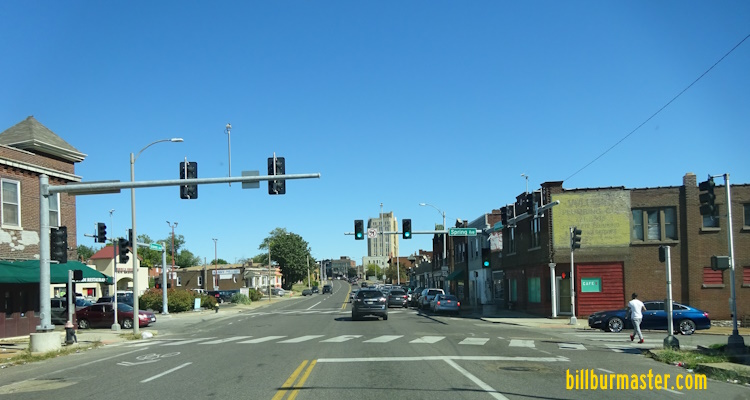
EB City U.S. 66 at Spring.
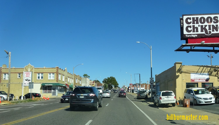
EB City U.S. 66 east of Chippewa.

EB City U.S. 66 at Gravois.

WB City U.S. 66 at the MOPAC underpass.
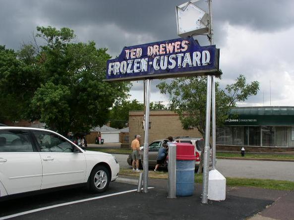
The sign for Ted Drews.
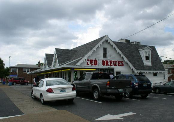
Ted Drews Frozen Custard.
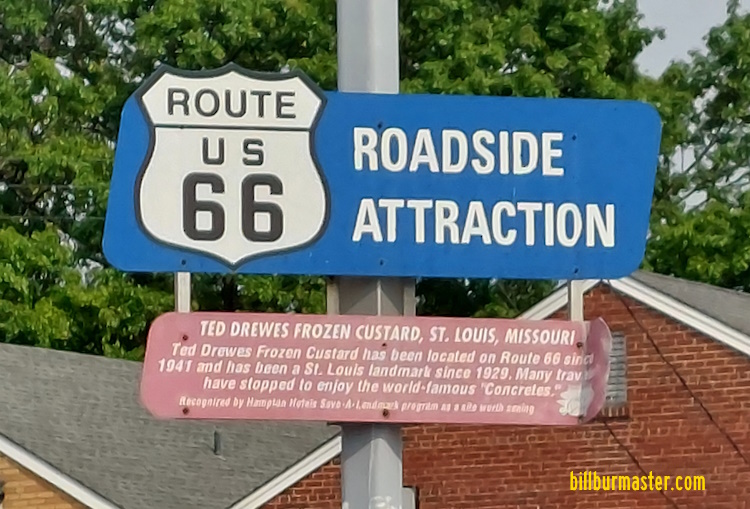
The 66 Attraction sign at Ted Drews.
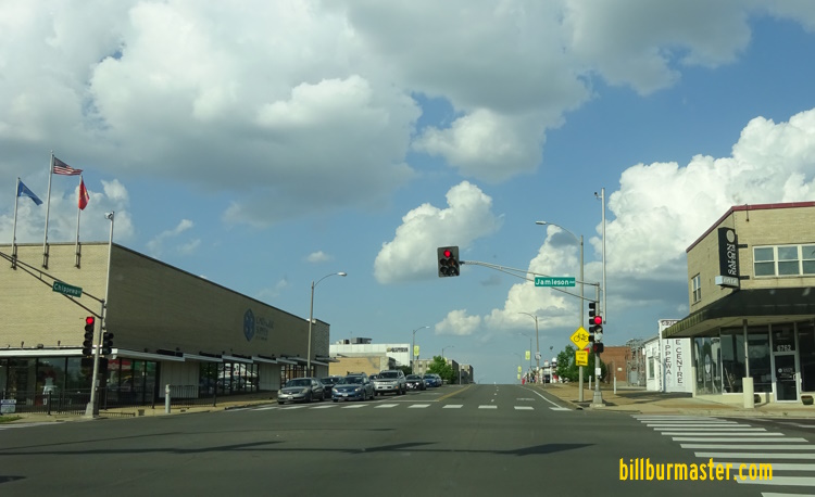
EB MO St Rt 366 at Jamieson.

WB MO St Rt 366 near the St. Louis County Line.

EB MO St Rt 366 at the St. Louis County/St. Louis City Line.
Shrewsbury
Marlborough
Crestwood

