U.S. Federal Route 61 is a north-south highway in Southern and West-Central St. Louis County. Portions of this runs along Lindbergh Blvd.
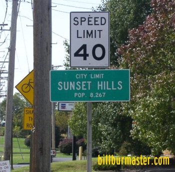
The December, 19th, 2004 St. Louis Post-Dispatch, said the state highway and transportation department has approved the location for a new bridge over the Missouri River. A new four-lane bridge will built west of the current eastbound bridge, which opened in 1989. It will be many year though until the bridge is built. When completed, the new bridge will carry eastbound traffic. The current eastbound traffic will carry traffic west into St. Charles County. The original bridge at the site, which currently carries westbound traffic, was built in 1937. It will become a ramp from Chesterfield Airport Road to WB I-64/U.S. Rt. 40; NB U.S. Rt. 61. As of now, no money is avalible for the project. The state projects the it to be built near 2012 to 2020. U.S. Rt. 61 passes through the following towns in St. Louis County. Sunset Hills
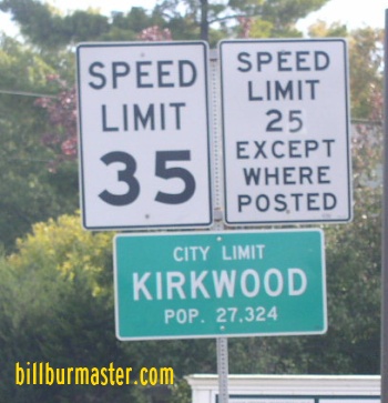
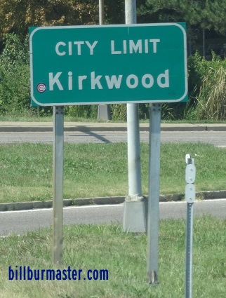
Kirkwood
Huntleigh Ladue Frontenac
Town and Country
Chesterfield
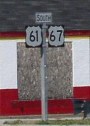
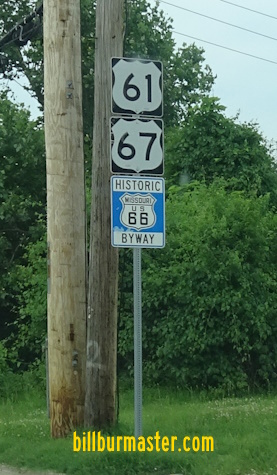
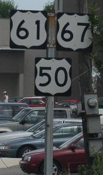
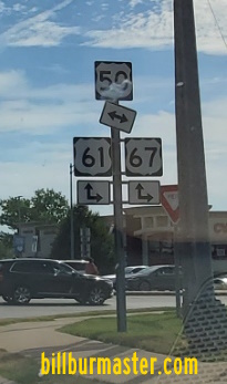
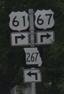
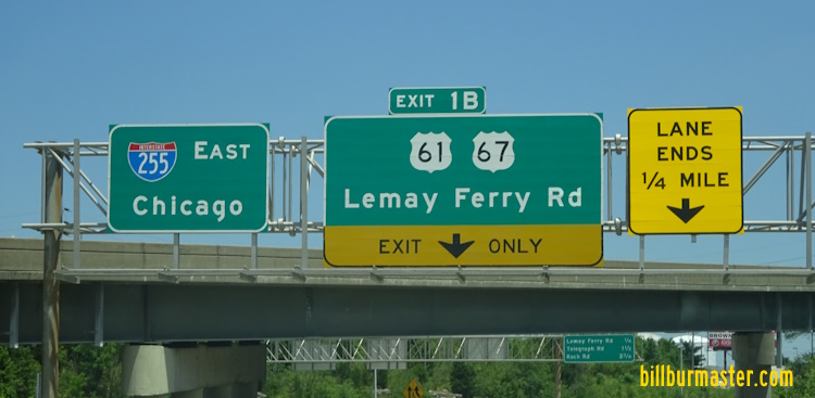
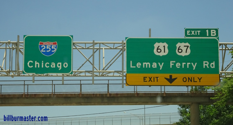
U.S. Rt. 61 is multi-plexed in St. Louis County. U.S. Rt. 67, from the Jefferson/St. Louis County Line to Frontenac.
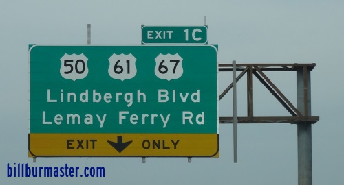
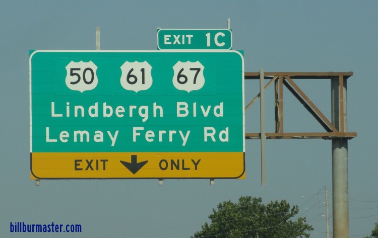
U.S. Rt. 50, from near Green Park to Sunset Hills.
Interstate 64, from Frontenac to the St Louis/St Charles County Line. U.S. Rt. 40, from Frontenac to the St Louis/St Charles County Line.
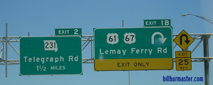
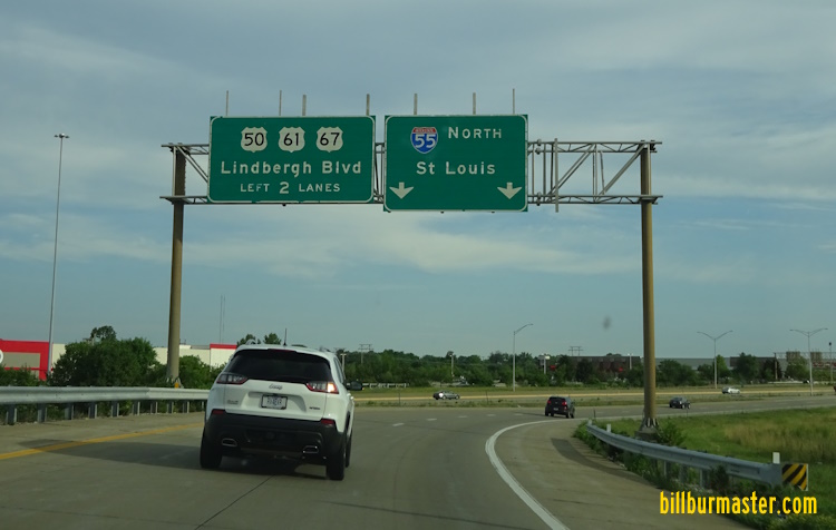
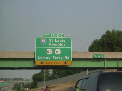
U.S. Rt. 61 crosses the following highways in St. Louis County. Interstate 255, in South County. U.S. Rt. 50, in South County.
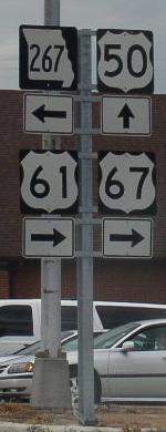
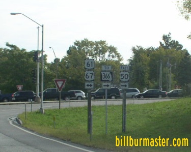
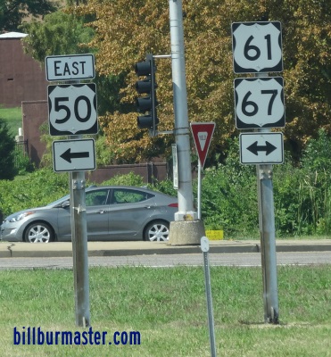
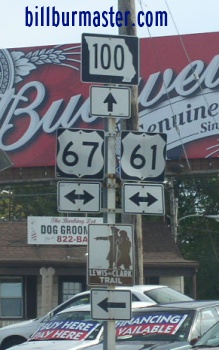
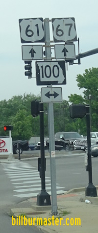
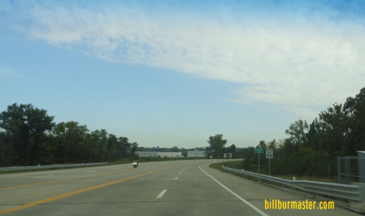
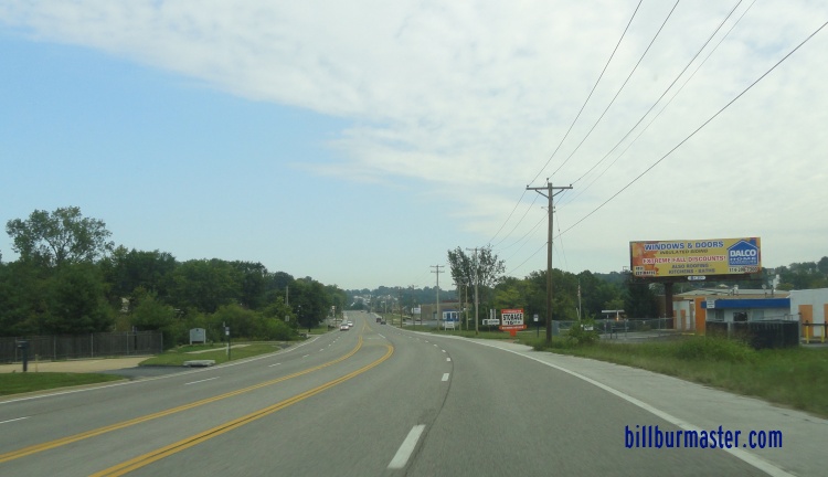
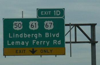
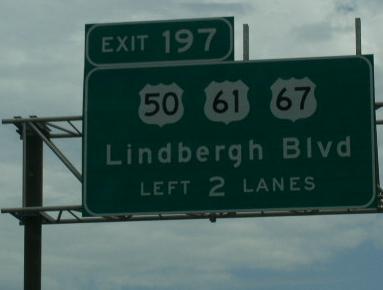
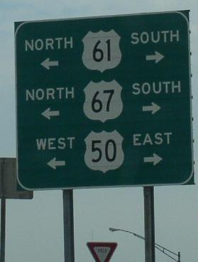
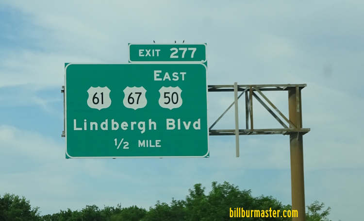
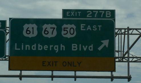
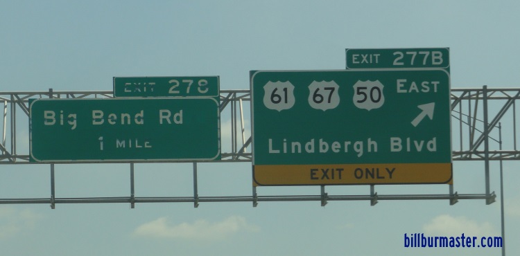
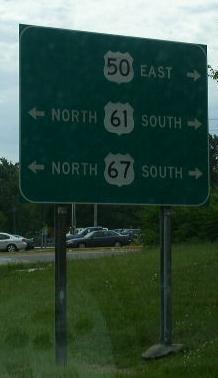
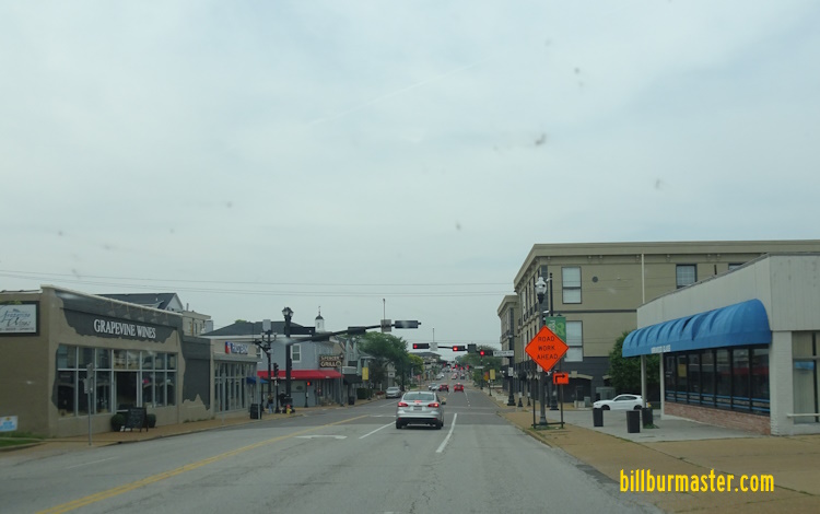
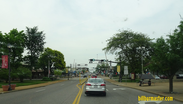
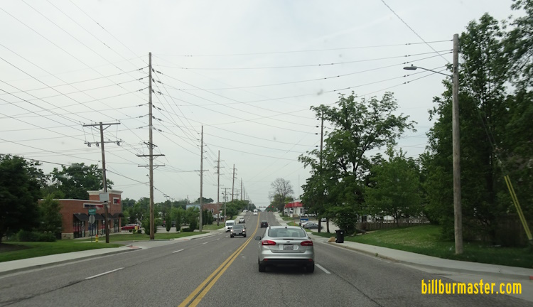
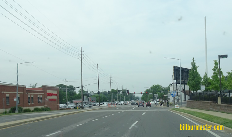
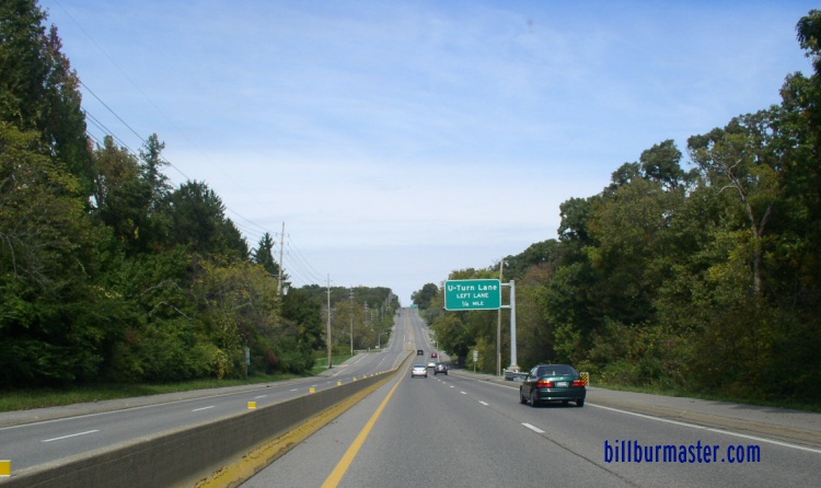
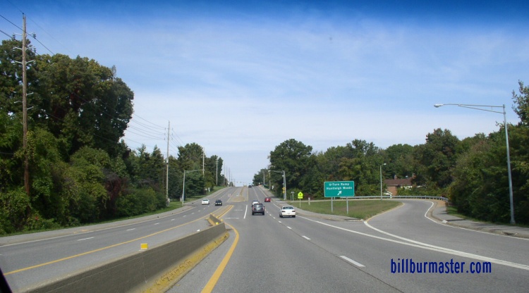
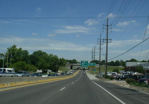
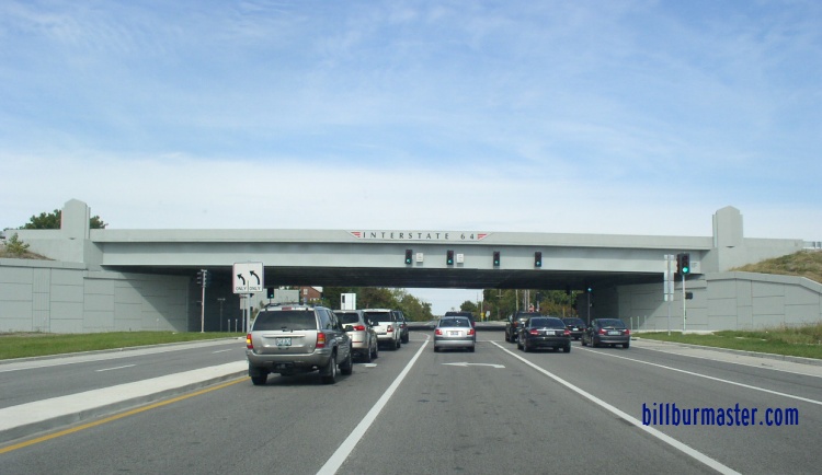
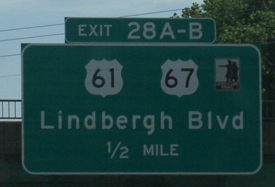
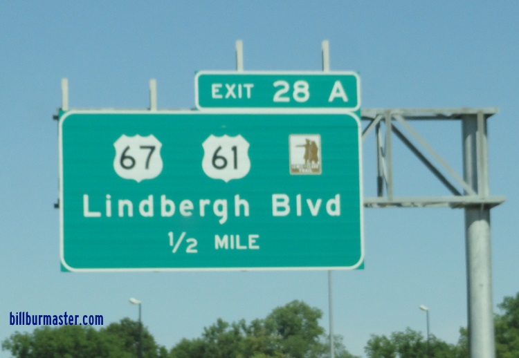
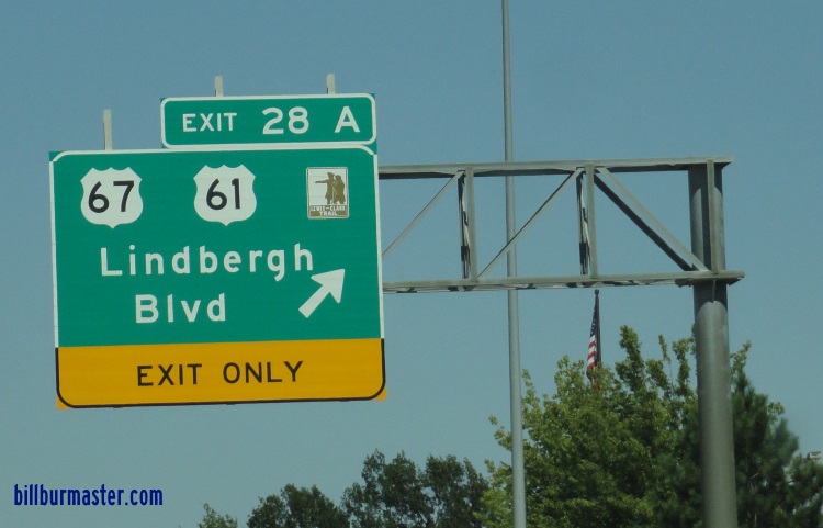
NB U.S. Rt. 61/67 at the Jefferson/St. Louis County line. NB U.S. Rt. 61/67 north of Meramec Bottom Road. SB U.S. Rt. 61/67 south of Lemay Woods Drive. BGS on EB I-255. A BGS on WB I-255/U.S. Rt. 50. A BGS on WB I-255/U.S. Rt. 50. A BGS on WB I-255/U.S. Rt. 50. A BGS on WB I-255/U.S. Rt. 50. A BGS on WB I-255/U.S. Rt. 50. A BGS on EB I-255. A BGS on EB I-255. A BGS on EB I-255. A junction marker on WB U.S. Rt. 50. WB U.S. Rt. 50; NB U.S. Rt. 61/67 in South St. Louis County. A BGS on NB I-55. A BGS on SB I-55. A set of guide markers on the ramp from NB I-55. A BGS on the ramp from WB I-255 to NB I-55. BGS on EB I-270. A BGS on SB I-270. WB U.S. Rt. 50; NB U.S. Rt. 61/67 north of MO St Rt 30. WB U.S. Rt. 50/NB U.S. Rt. 61/67 south of MO St Rt 366-Watson Road. WB U.S. Rt. 50/NB U.S. Rt. 61/67 south of MO St Rt 366-Watson Road. WB U.S. Rt. 50/NB U.S. Rt. 61/67 at MO St Rt 366-Watson Road. A junction marker on WB MO St Rt 366. A BGS on WB MO St Rt 366. A BGS on WB I-44. A BGS on WB I-44. A BGS on EB I-44/U.S. Rt. 50. A BGS EB I-44/U.S. Rt. 50. A BGS on EB I-44/U.S. Rt. 50. A set of guide markers on the ramp from EB I-44/U.S. Rt. 50. NB U.S. Rt. 61/67 at Chester Ave in Kirkwood. NB U.S. Rt. 61/67 at Monroe in Kirkwood. NB U.S. Rt 61/67 near Argonne Drive in Kirkwood. NB U.S. Rt. 61/67 at Wilson in Kirkwood. NB U.S. Rt. 61/67 at MO St Rt 100. NB U.S. Rt. 61/67 near a U-Turn lane north of Kirkwood. NB U.S. Rt. 61/67 at the U-Turn lane from the picture above. NB U.S. Rt. 61/67 south of I-64/U.S. Rt. 40. (2005) NB U.S. Rt. 61/67 at the re-built I-64/U.S. Rt. 40 interchange. (October, 2009) A BGS on EB I-64/U.S. Rt. 40; SB U.S. Rt. 61. A BGS on EB I-64/U.S. Rt. 40; SB U.S. Rt. 61. A BGS on EB I-64/U.S. Rt. 40; SB U.S. Rt. 61. EB I-64/U.S. Rt. 40; SB U.S. Rt. 61 at Spoede Road. EB I-64/U.S. Rt. 40; SB U.S. Rt. 61 west of Spoede Road. WB I-64/U.S. Rt. 40; NB U.S. Rt. 61 near Ballas Road. EB I-64/U.S. Rt. 40; SB U.S. Rt. 61 east of I-270. Overhead BGS's on NB I-270. A BGS on NB I-270. A BGS on SB I-270. A BGS on SB I-270. A BGS on SB I-270. WB I-64/U.S. Rt 40; NB U.S Rt. 61 west of I-270. EB I-64/U.S. Rt. 40; SB U.S. Rt. 61 west of I-270. EB I-64/U.S. Rt. 40; SB U.S. Rt. 61 near Conway Meadow Drive. EB I-64/U.S. Rt. 40; SB U.S. Rt. 61 near Yarmouth Point Drive. EB I-64/U.S. Rt. 40; SB U.S. Rt. 61 east of Timberlake Manor Parkway. WB I-64/U.S. Rt. 40; NB U.S. Rt 61 near Timberlake Manor. WB I-64/U.S. Rt. 40; NB U.S. Rt. 61 near Mason. EB I-64/U.S. Rt. 40; SB U.S. Rt. 61 west of Mason. WB I-64/U.S.Rt. 40; NB U.S. Rt. 61 in Town and Country. A BGS at MO St Rt 141. A BGS on NB MO St Rt 141. A BGS on NB MO St Rt 141. WB I-64/U.S. Rt. 40; NB U.S. Rt. 61 at MO St Rt 141. WB I-64/U.S. Rt. 40; NB U.S. Rt. 61 near Maryville Center. WB I-64/U.S. Rt. 40; NB U.S. Rt. 61 near Chesterfield Parkway. A BGS on SB MO St Rt 340. A junction sign on NB MO St Rt 340. A guide marker on NB MO St Rt 340. A BGS on NB MO St Rt 340. A BGS on Chesterfield Parkway West. WB I-64/U.S. Rt. 40; NB U.S Rt 61 in Chesterfield. WB I-64/U.S. Rt. 40; NB U.S. Rt. 61 west of Chesterfield Parkway. WB I-64/U.S. Rt. 40; NB U.S. Rt. 61 at Boone's Crossing. WB I-64/U.S. Rt. 40; NB U.S. Rt. 61 at Boone's Crossing. WB I-64/U.S. Rt. 40; NB U.S. Rt. 61 at Boone's Crossing. WB I-64/U.S. Rt. 40; NB U.S. Rt. 61 west of Boone's Crossing. EB I-64/U.S. Rt. 40; SB U.S. Rt. 61 near the Spirit of St. Louis Airport. EB I-64/U.S. Rt. 40; SB U.S. Rt. 61 near Chesterfield Airport Road. WB I-64/U.S. Rt. 40; NB U.S. Rt. 61 near the Missouri River. WB I-64/U.S. Rt. 40; NB U.S. Rt. 61 has the older bridge across the Missouri River. There are no shoulders and no passing on the bridge. A closer look at the signs on the bridge. WB I-64/U.S. Rt. 40; NB U.S. Rt. 61 crossing the Missouri River. WB I-64/U.S. Rt. 40; NB U.S. Rt. 61 at the Boone Bridge. WB I-64/U.S. Rt. 40; NB U.S. Rt. 61 at the Boone Bridge. WB I-64/U.S. Rt. 40; NB U.S. Rt. 61 at the Boone Bridge. EB I-64/U.S. Rt. 40; SB U.S. Rt. 61 crossing the Missouri River. EB I-64/U.S. Rt. 40; SB U.S. Rt. 61 at the St. Charles/St. Louis County Line.