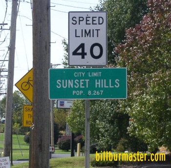
U.S. Federal Route 67 runs north-south through St. Louis County. It actually runs along one of the original metro by-passes that date back to pre-interstate era's. It spends most of it's time on Lindbergh Blvd. U.S. Rt. 67 passes through the following towns in St. Louis County. Sunset Hills
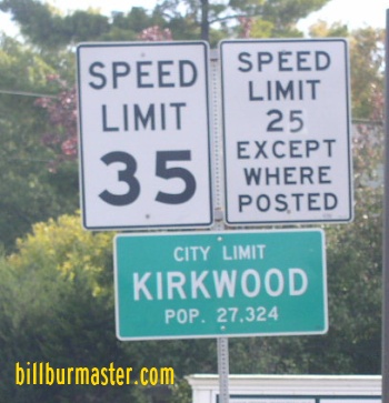
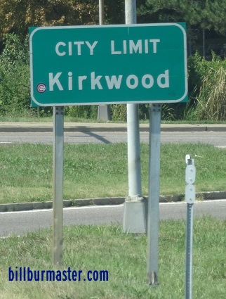
Kirkwood
Huntleigh Frontenac
Ladue
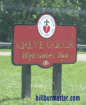
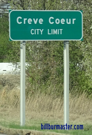
Creve Coeur
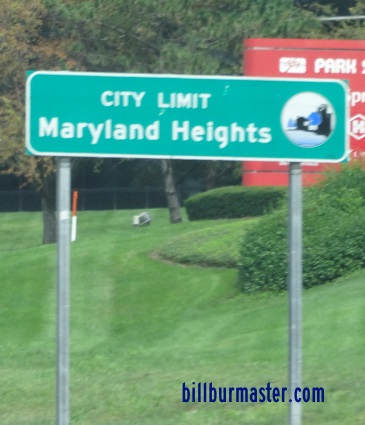
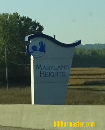
Maryland Heights
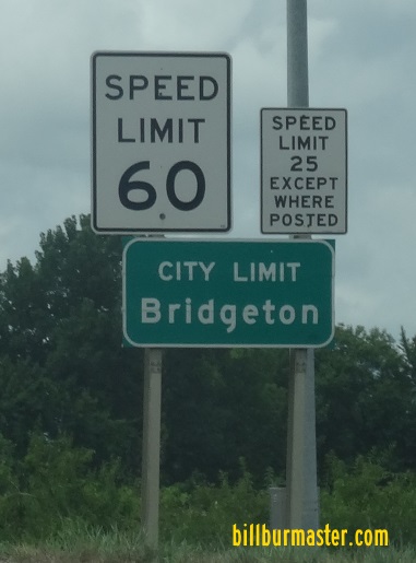
St. Ann Bridgeton
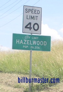
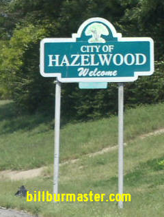
Hazelwood
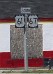
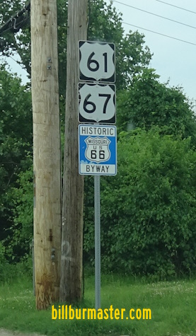
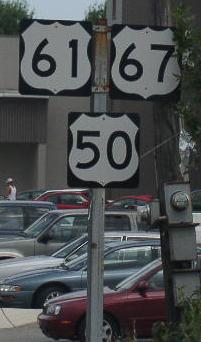
Florissant U.S. Rt. 67 is multi-plexed in St. Louis County. U.S. Rt. 61, from the Jefferson/St. Louis County Line to Frontenac.
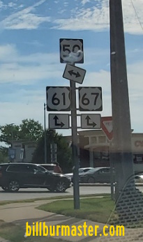
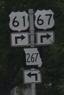
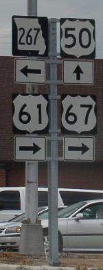
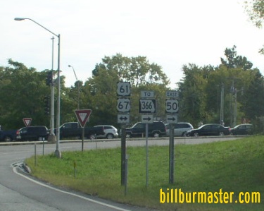
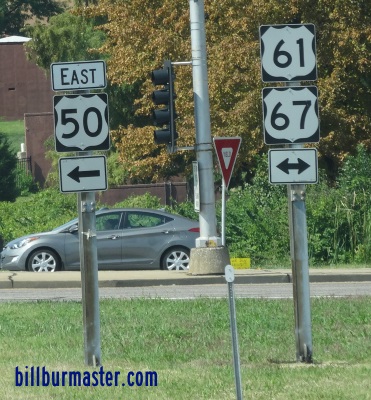
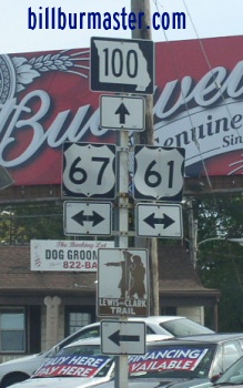
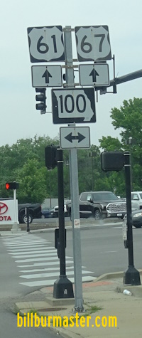
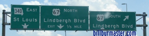
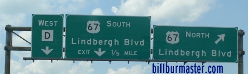
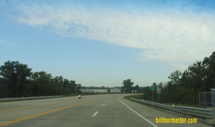
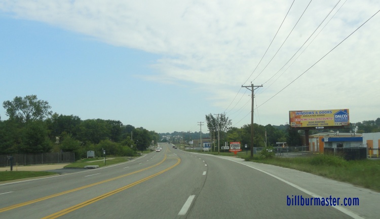
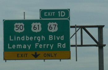
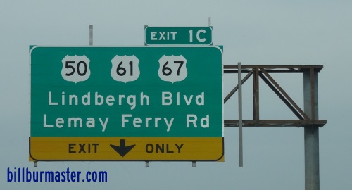
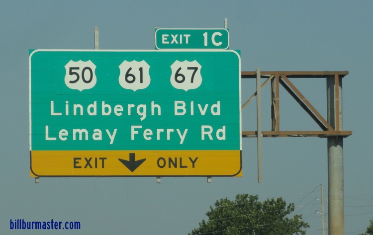
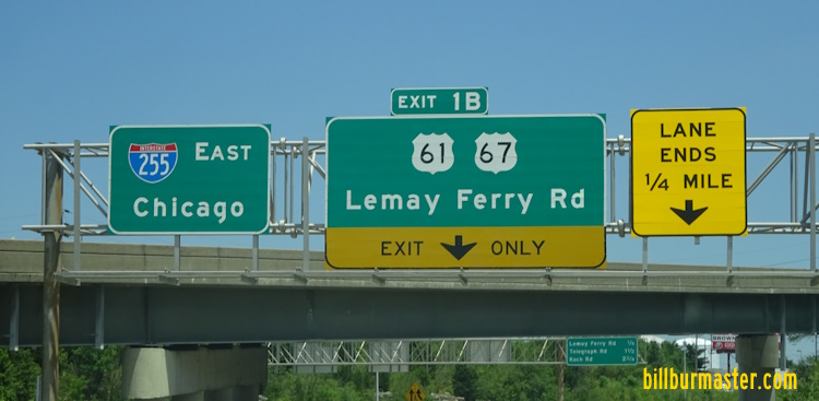
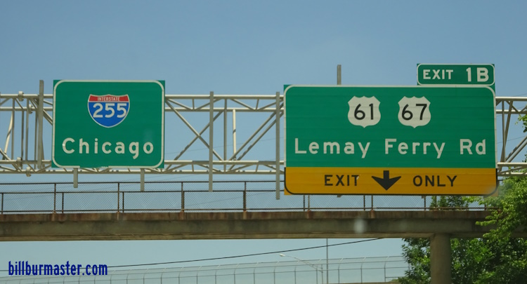
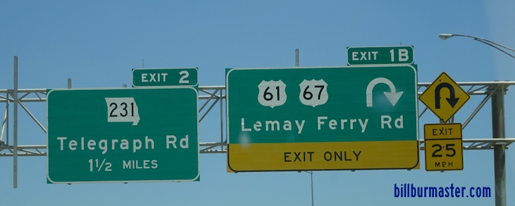
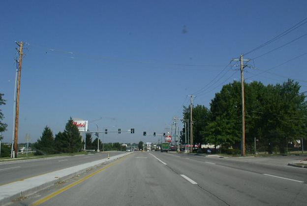
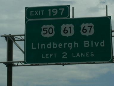
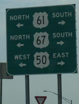
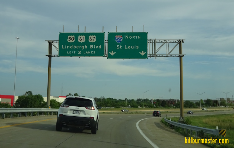
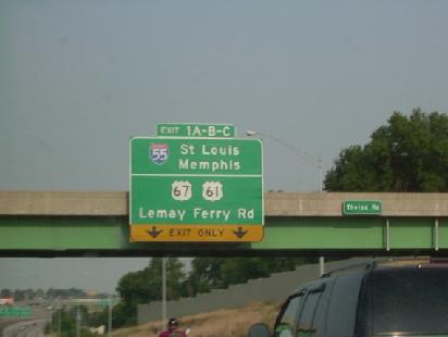
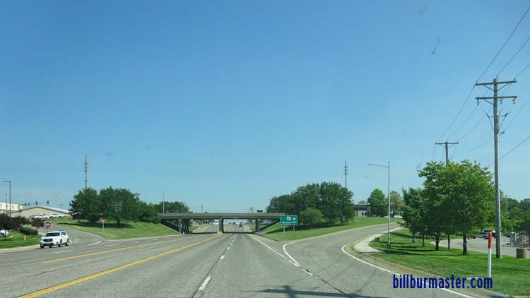
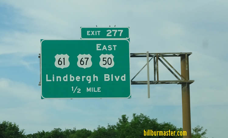
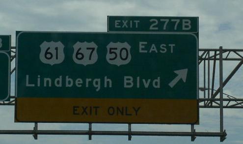
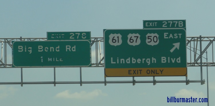
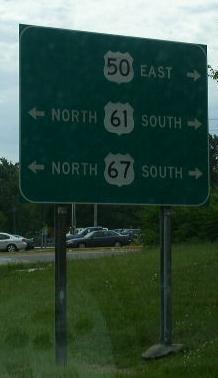
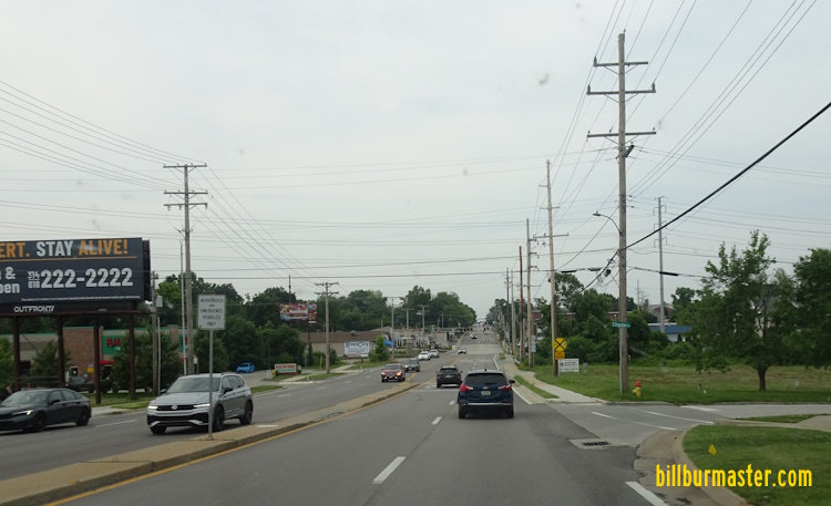
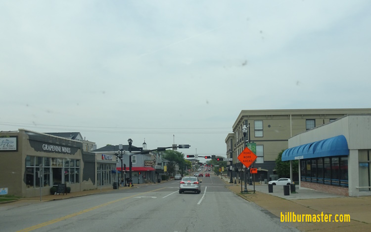
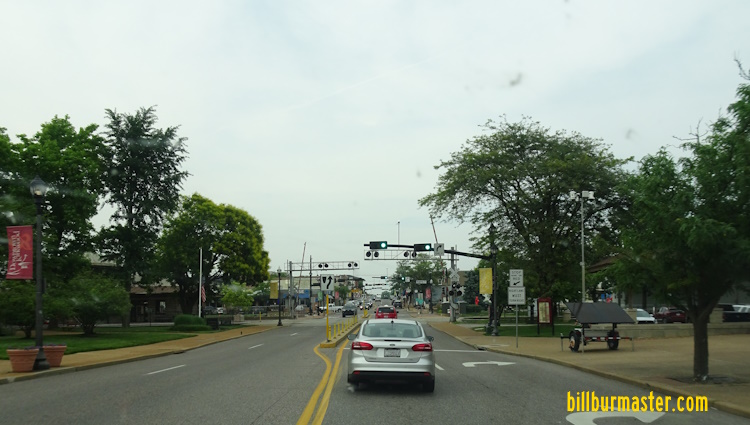
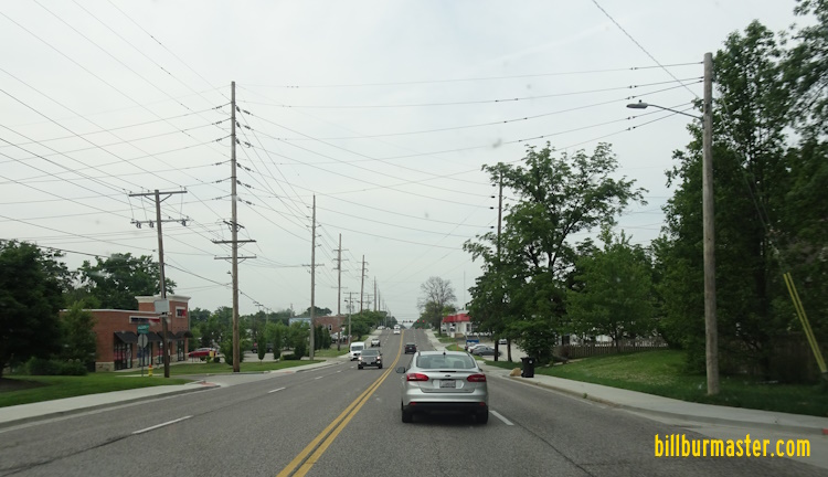
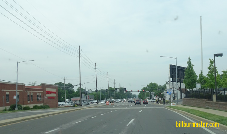
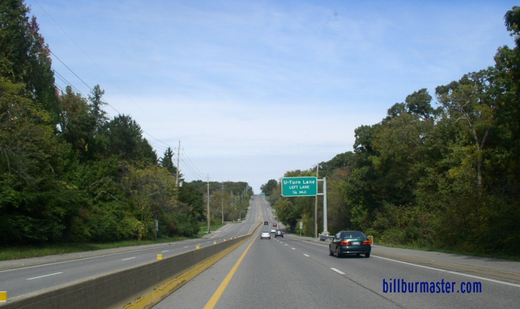
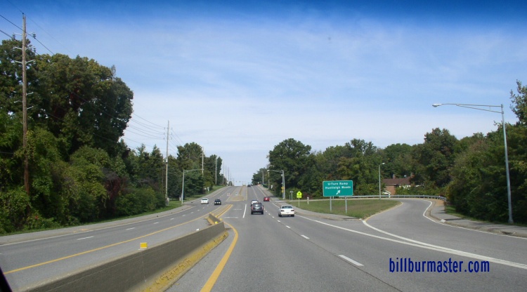
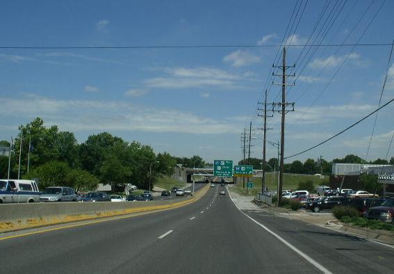
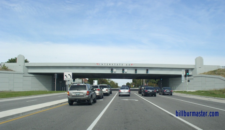
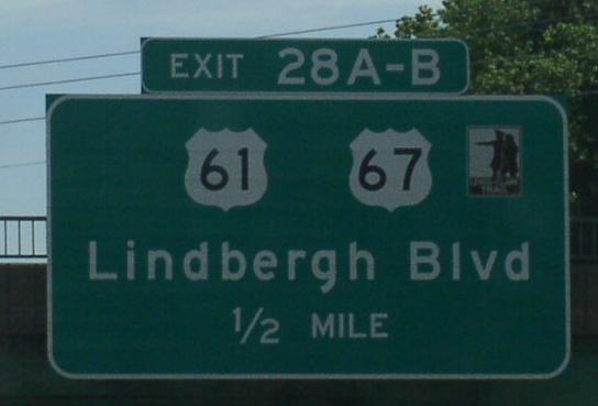
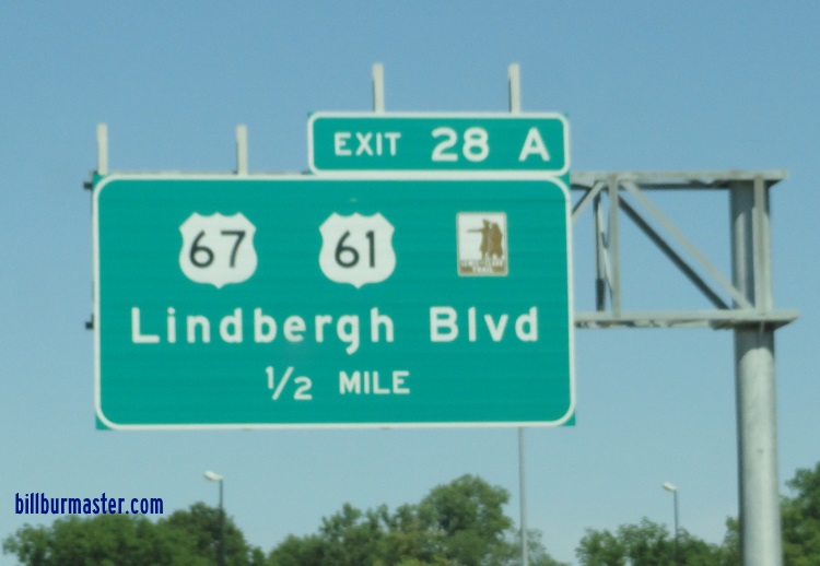
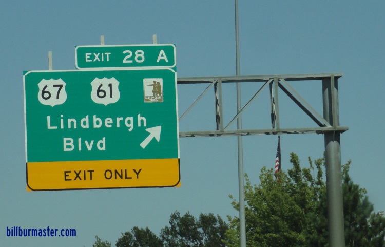
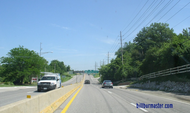
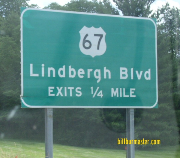
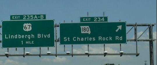
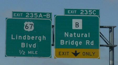
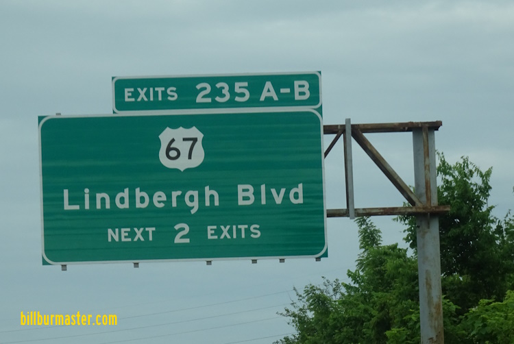
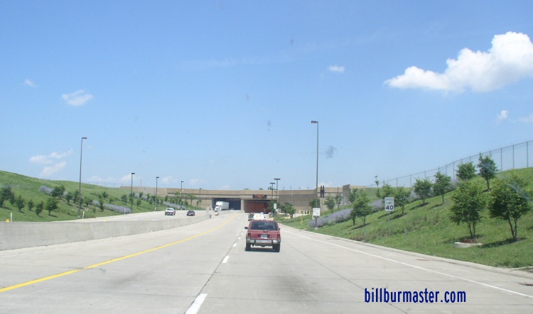
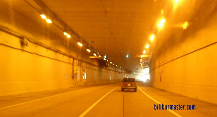
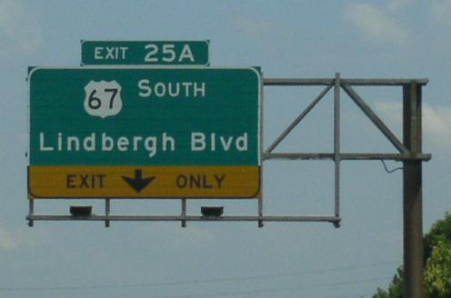
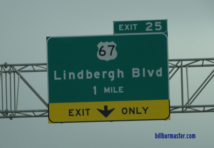
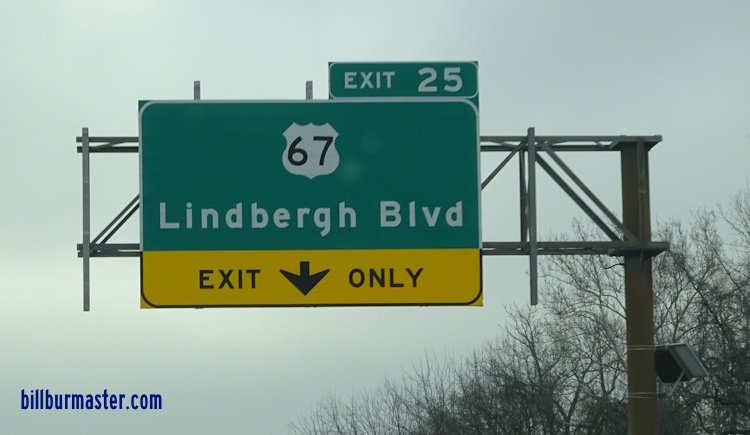
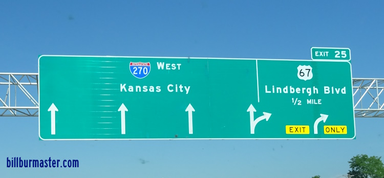
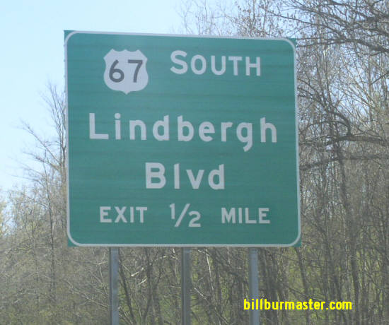
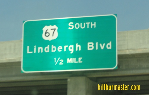
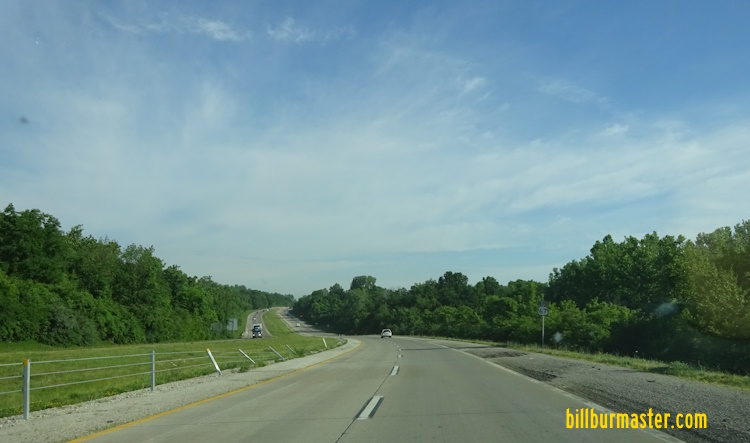
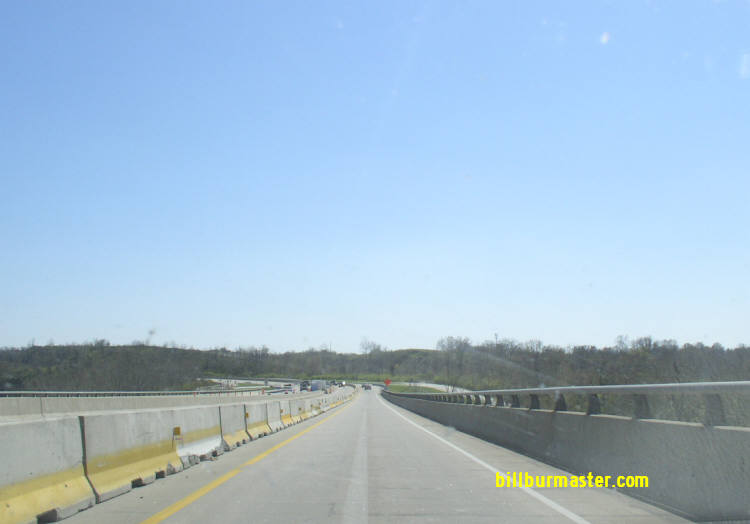
NB U.S. Rt. 61/67 at the Jefferson/St. Louis County line. NB U.S. Rt. 61/67 north of Meramec Bottom Road. SB U.S. Rt. 61/67 south of Lemay Woods Drive. A BGS on WB I-255/U.S. Rt. 50. A BGS on WB I-255/U.S. Rt. 50. A BGS on WB I-255/U.S. Rt. 50. A BGS on WB I-255/U.S. Rt. 50. A BGS on WB I-255/U.S. Rt. 50. A BGS on EB I-255. A BGS on EB I-255. A BGS on EB I-255. A junction marker on WB U.S. Rt. 50. WB U.S. Rt. 50; NB U.S. Rt. 61/67 in South St. Louis County. A BGS on NB I-55 A BGS on SB I-55. A set of guide markers on the ramp from NB I-55. A BGS on the ramp from WB I-255 to NB I-55. Overhead signs on EB I-255. BGS on EB I-270. WB U.S. Rt. 50; NB U.S. Rt. 61/67 north of MO St Rt 30. WB U.S. Rt. 50/NB U.S. Rt. 61/67 south of MO St Rt 366-Watson Road. WB U.S. Rt. 50/NB U.S. Rt. 61/67 south of MO St Rt 366-Watson Road. WB U.S. Rt. 50/NB U.S. Rt. 61/67 at MO St Rt 366-Watson Road. A junction marker on WB MO St Rt 366. A BGS on WB MO St Rt 366. A BGS on WB I-44. A BGS on WB I-44. A BGS on EB I-44/U.S. Rt. 50. A BGS on EB I-44/U.S. Rt. 50. A BGS on EB I-44/U.S. Rt. 50. A guide marker on the ramp from EB I-44/U.S. Rt. 50. NB U.S. Rt. 61/67 at Chester Ave in Kirkwood. NB U.S. Rt. 61/67 at Monroe in Kirkwood. NB U.S. Rt 61/67 near Argonne Drive in Kirkwood. NB U.S. Rt. 61/67 at Wilson in Kirkwood. NB U.S. Rt. 61/67 at MO St Rt 100. NB U.S. Rt. 61/67 near a U-Turn lane north of Kirkwood. NB U.S. Rt. 61/67 at the U-Turn lane north of Kirkwood, picutres above. NB U.S. Rt. 61/67 south of I-64/U.S. Rt. 40. (2005) The overpass from the picture above, after the re-built of I-64/U.S. Rt. 40. (October, 2009) A BGS on EB I-64/U.S. Rt. 40; SB U.S. Rt. 61. A BGS on EB I-64/U.S. Rt. 40; SB U.S. Rt. 61. A BGS on EB I-64/U.S. Rt. 40; SB U.S. Rt. 61. NB U.S. Rt. 67 near Monsanto. NB U.S. Rt. 67 near MO St Rt 340. A BGS on EB MO St Rt 340. NB U.S. Rt. 67 near Dorsett Road. NB U.S. Rt. 67 at I-70. A BGS on EB I-70. A BGS on WB I-70. A BGS on EB I-70. A BGS on WB I-70. A BGS on EB I-70. NB U.S. Rt. 67 near the tunnel under Lambert-St. Louis International Airport. NB U.S. Rt. 67 in the tunnel. A BGS on NB I-270. Another BGS on NB I-270. A BGS on NB I-270. A BGS on NB I-270. A BGS on WB I-270. A BGS on SB U.S. Rt. 67. A BGS on NB MO St Rt 367. A BGS on NB MO St Rt 367. NB U.S. Rt. 67 north of Lindberg Blvd. SB U.S. Rt. 67 near Black Jack. SB U.S. Rt. 67 crossing the Missouri River south of the St. Charles/St. Louis County Line.