
Litchfield 1930-1940
Old Route 66
This is the original route through the Greater Litchfield Area. The 1930-40 alignment passes through a small business district then through a section of Litchfield's residential area. South of Licthfield, Rt. 66 passes through some rural farm land and joins back up with the 1940-77 alignment.
View Litchfield IL 1930 in a larger map
Litchfield
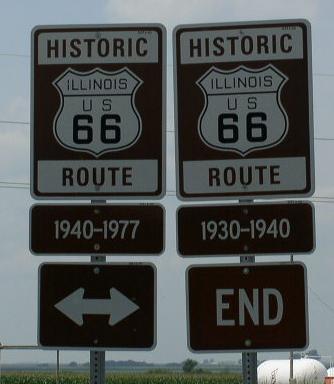
Northern end marker.

SB U.S. 66 on the north end of Litchfield.

A sign for a drive-in theater on the north end of Litchfield.

The drive in.
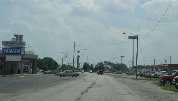
SB Rt 66 north of IL St Rt 16 in Litchfield.

Street sign at the intersects with IL St Rt 16.

A banner on a street pole in Litchfield.

The attraction marker.

The Ariston Cafe on the corner of Rt. 66 and IL St Rt 16.

An Illinois tourism marker at the Ariston Café.

A close-up of the marker.

The Litchfield Area Museum.

SB U.S. 66 on the south end of Litchfield.
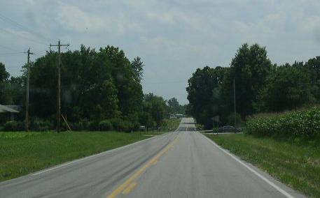
Rt. 66 south of Litchfield.

The southern end of the 1930 alignment. (May, 2013)
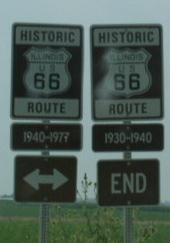
Southern end marker.

The southern end marker. (May, 2013)


