Plainfield to Aurora
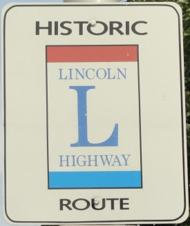
From Interstate 55, at the Joliet/Plainfield City Limits to Interstate 88, at North Aurora. The Lincoln Highway weaves on and off of U.S. 30. This follows the Canadian National Railroad (ex-Elgin, Joliet, & Eastern) as it heads north to enter the Fox River Valley.
View Lincoln Highway Plainfield-Aurora, IL in a larger map
Plainfield
At Plainfield, the Lincoln Highway follows U.S. 30 up to Illinois 59. When U.S. 30 joins Illinois 59, this is where U.S. 66 and the Lincoln Highway run together. Two blocks north of the joining of the highways, Lincoln Highway turns west along Lockport Street, and enters Downtown Plainfield. West of Downtown Plainfield is the former Plainfield rail depot along the Canadian National Railroad (ex-Elgin, Joliet, & Eastern). On the south side of the road from the depot is the Lincoln Highway pavilion.
Looking west along Lockport Street in Downtown Plainfield..
Looking east along Lockport Street at the Du Page River.
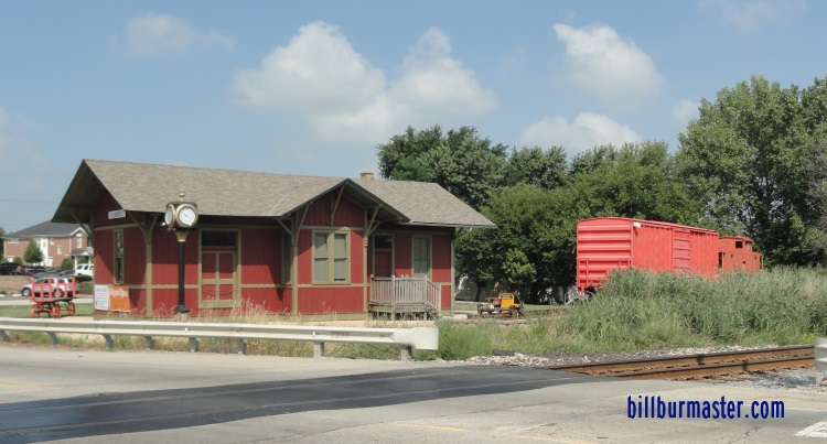
The Plainfield train depot.
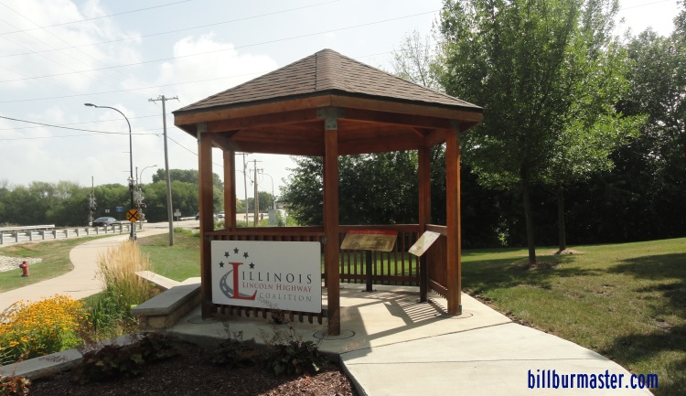
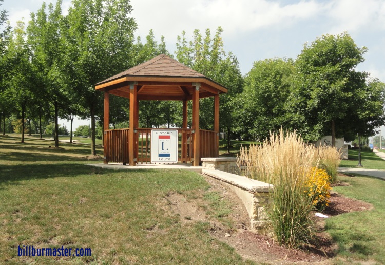
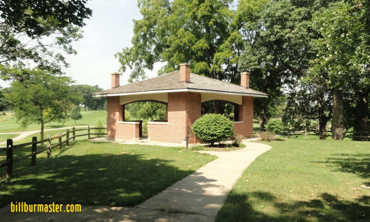
The Plainfield pavilion.
The Plainfield pailion.
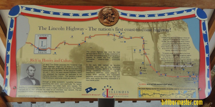
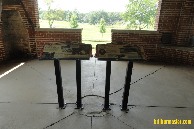
A plaque in the Plainfield pavilion.
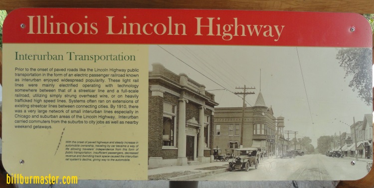
A plaque in the Plainfield pavilion.
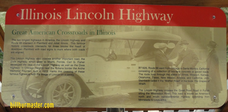
A plaque in the Plainfield pavilion.
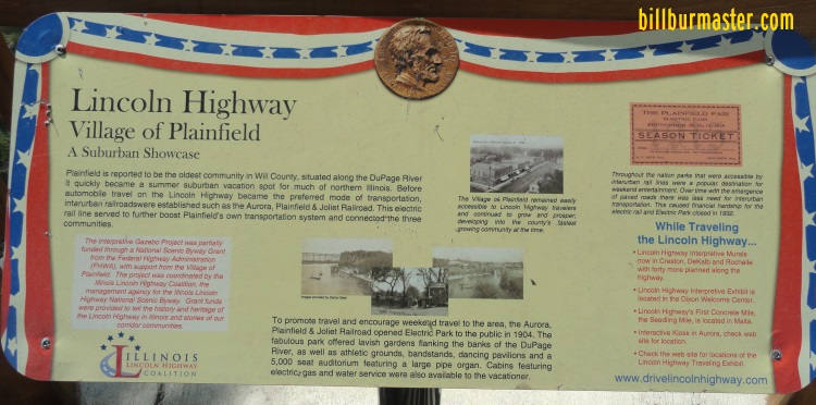
A plaque in the Plainfield pavilion.
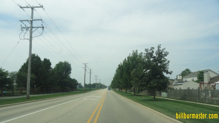
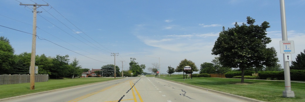
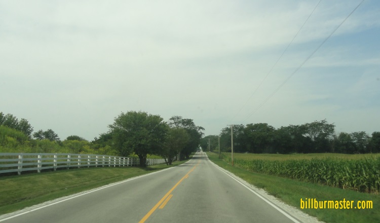
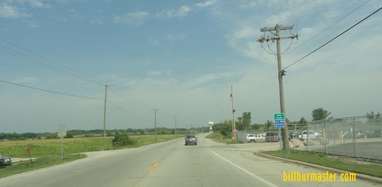
WB 135th Street, west of U.S. 30.
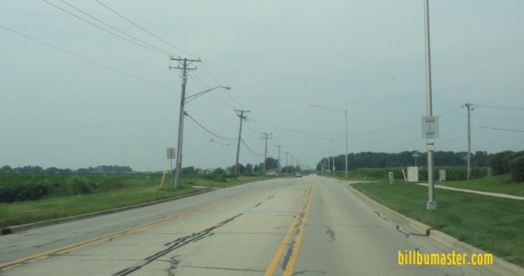
WB 135th Street near Heggs Road.
NB Heggs Road north of 135th Street.
NB Heggs Road near Caton Square.
NB Heggs Road south of 111th Street.
WB 111th Street west of Heggs Road.
Oswego
The Lincoln Highway passes through the eastern edge of Oswego. It runs along Harvey Road, before rejoining U.S. 30 briefly. When the Lincoln Highway and U.S. 30 meets U.S. 34, U.S. 30 turns left, while the Lincoln Highway continues north.
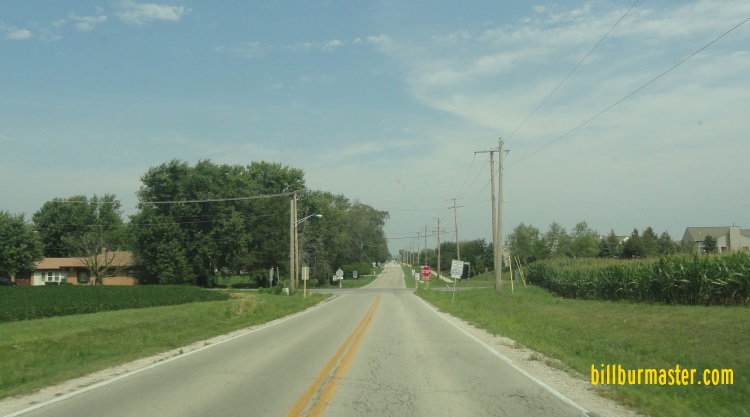
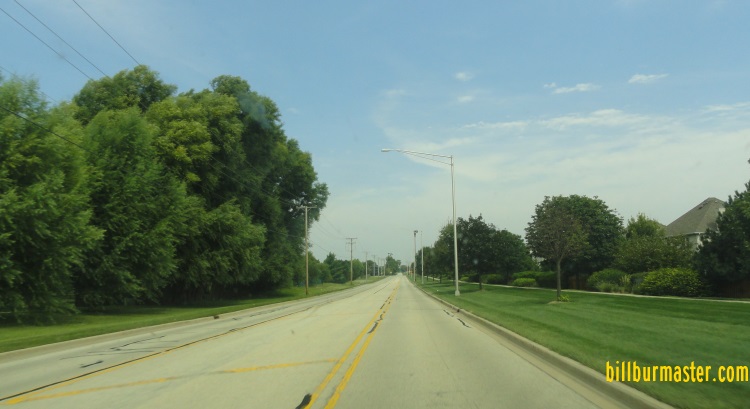
NB Harvey Road Oswego High School.
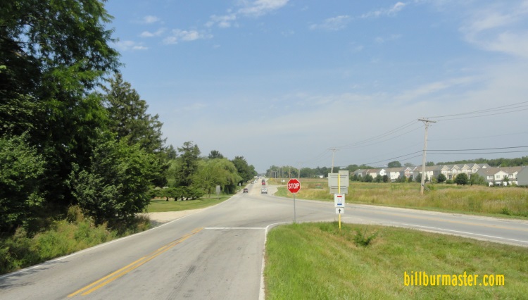
NB Harvey Road near Lincoln Memorial Park and a rejoining with U.S. 30.
Montgomery
North of U.S. 30/34, the Lincoln Highway runs along Hill Avenue. This is where it enters Kane County
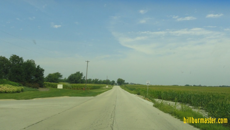
NB Hill Avenue north of U.S. 30/34.
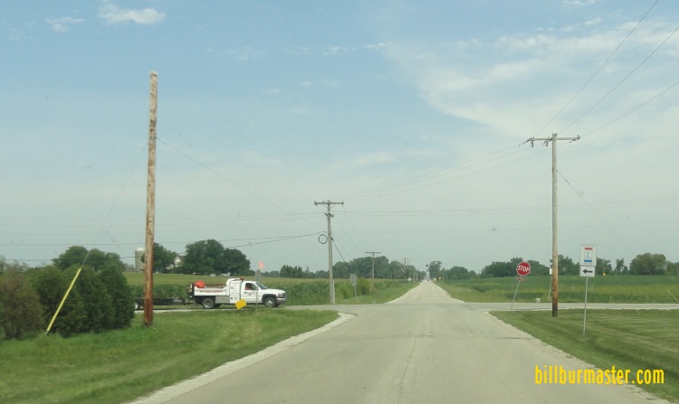
NB Hill Avenue at the Kane/Kendall County Line.
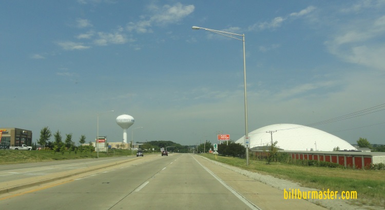
Aurora
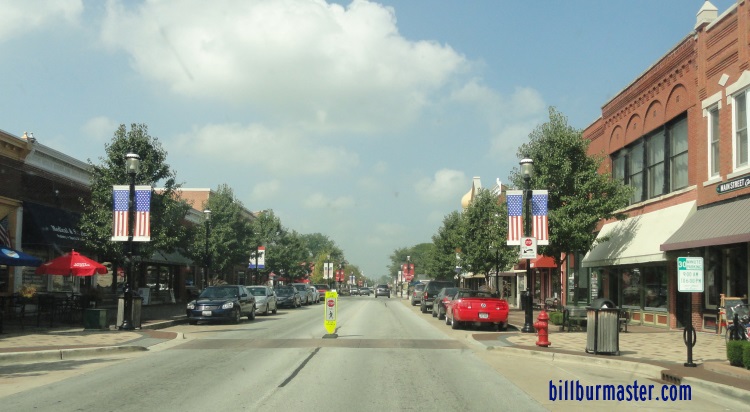
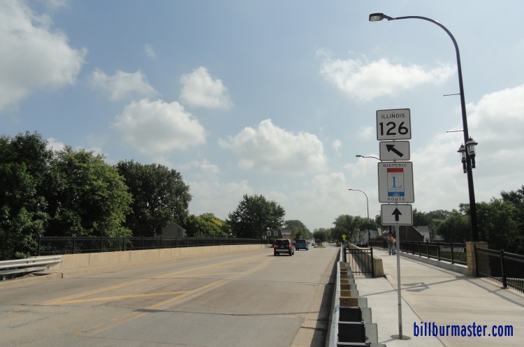
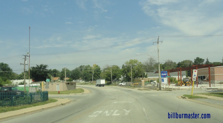
The Lincoln Highway enters Aurora along Hill Avenue. The first stop is at Phillips Park where the Aurora Lincoln Highway Pavilion is. North of the park the Lincoln Highway turns along Summit Avenue. After one block on Summit Avenue it comes to the front doors of Beaupre Elementary School. At the school it takes brief jog to Benton Street on the south side of the school. When the Lincoln Highway reached State Street it turns into a one way street. Eastbound runs on Benton Street, while westbound runs on Downer Place. When the highway reaches Downtown Aurora it passes by Waubonsee Community College. In Downtown Aurora westbound Lincoln Highway runs north on River Street to then go west on New York Street. At Lake Street it runs north to Interstate 88.
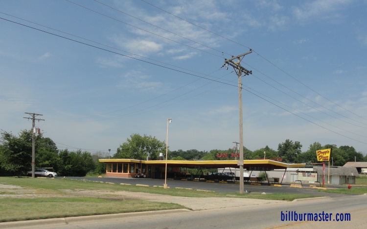
A drive-in along Hill Avenue in Aurora.
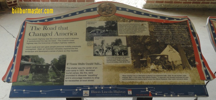
The Aurora Pavilion.
Plaques inside the Aurora Pavilion.
A close-up of the plaques.
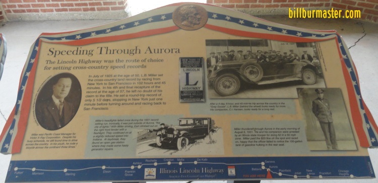
A close-up of the plaques.
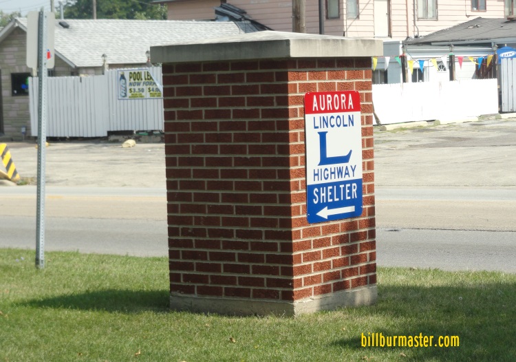
A marker along the highway.
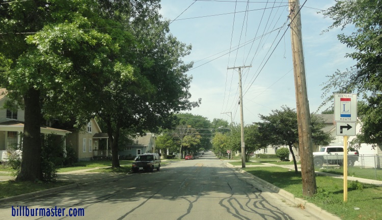
NB Hill Avenue near Summit Avenue.
WB Benton Street near State Street.
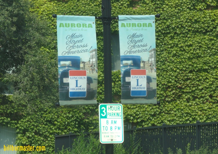
Banners along the Lincoln Highway in Aurora.
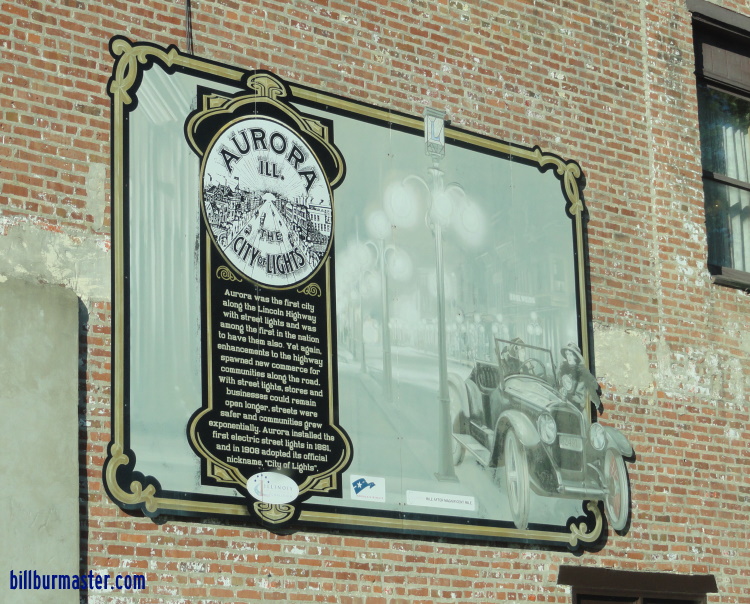
A Lincoln Highway mural in Downtown Aurora.
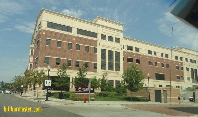
The Aurora campus of Waubonsee Community College.