
Springfield, IL
1930-1940
This alignment of U.S. 66 follows Business Loop Interstate 55 through the center of the city. It follows Peoria Road south to 9th Street. It takes 9th Street south through Downtown Springfield past Lincoln Sites. South of downtown traffic shifts to 5th Street (Southbound) and 6th Street (Northbound), via Spruce Street (Southbound) and Myrtle Street (Northbound). From here it heads south to join Interstate 55 at the 6th Street Interchange.
View Springfield, IL 1930-1940 in a larger map
Springfield
Just south of the intersection with Veterans Parkway/Illinois 4-29, Peoria Road/BUSN Loop I-55, and 9th Street/BUSN Loop I-55-IL 29 is the Illinois State Fairgrounds. Here the 1926-1930 alignment via Carlinville splits.

The Illinois State Fairgrounds are along the route as you come in to town.

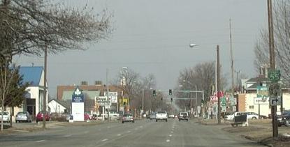
Looking north along 9th Street near Downtown Springfield.

This alignment of Rt. 66 is also BUSN. Loop I-55.
NB Rt. 66 approching South Grand Ave. where the route goes from 6th Street to 9th Street.
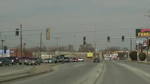
Looking north along Rt. 66. The railroad overpass to the left is SB Rt. 66 merging back in from 5th Street, while the one on the right is NB Rt. 66 on 6th Street.

Looking north at Cozy Dog.

The attraction sign for Cozy Dog.

The attraction sign at the Cozy Dog.

The attraction sign at the Cozy Dog.

The attraction sign at the Cozy Dog.
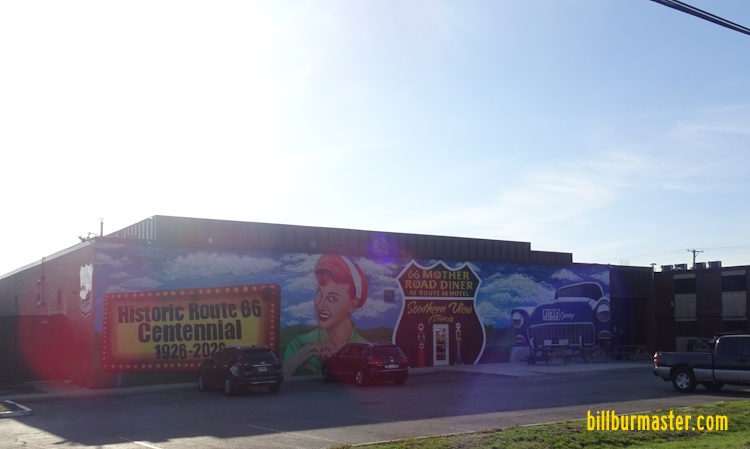
A mural at a diner in Springfield.
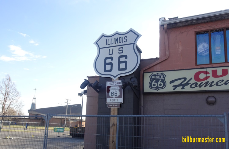
A large highway shield in Springfield.
Springfield-StauntonSpringfield-Staunton/1926-1930Interstate 55


